Home Wood

Wood, Forest in Essex Uttlesford

England

Home Wood

Footpath near Thaxted
Footpath near Thaxted Credit: Ola

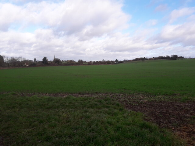
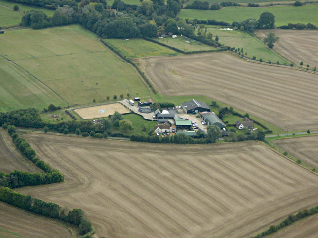
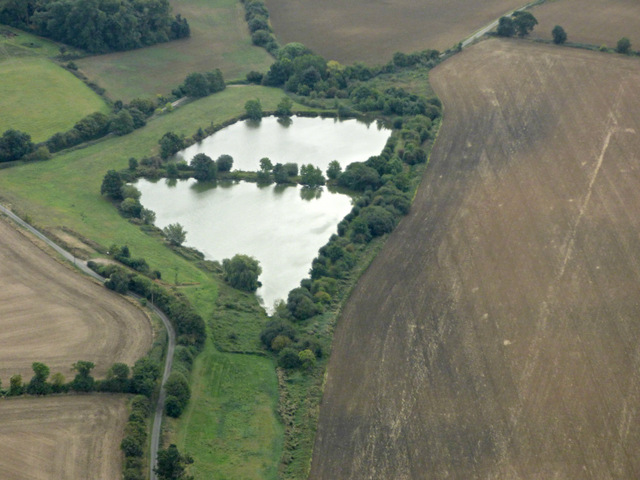
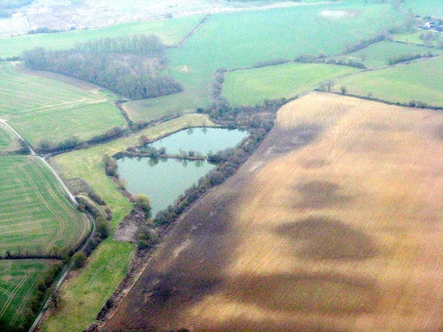
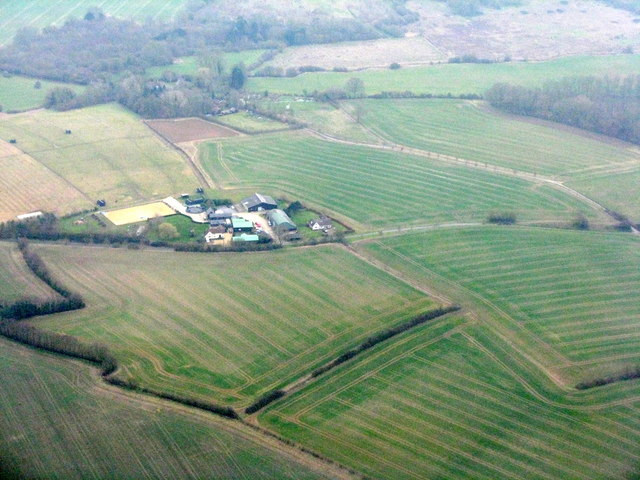
Home Wood is a picturesque and tranquil forest located in Essex, England. Nestled within the beautiful countryside, this woodland area spans over acres of lush greenery and is a haven for nature enthusiasts and outdoor lovers alike.

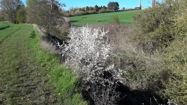
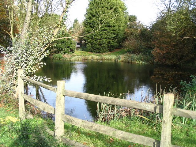
The wood boasts a diverse range of flora and fauna, making it an ideal destination for wildlife enthusiasts. Visitors can expect to encounter a variety of bird species, including woodpeckers, owls, and thrushes, as well as small mammals such as squirrels, rabbits, and foxes. The forest is also home to a rich variety of plant life, with ancient oaks, beech trees, and silver birches dotting the landscape.

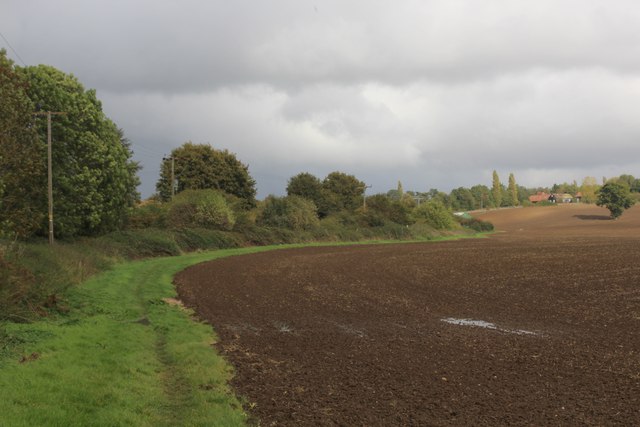
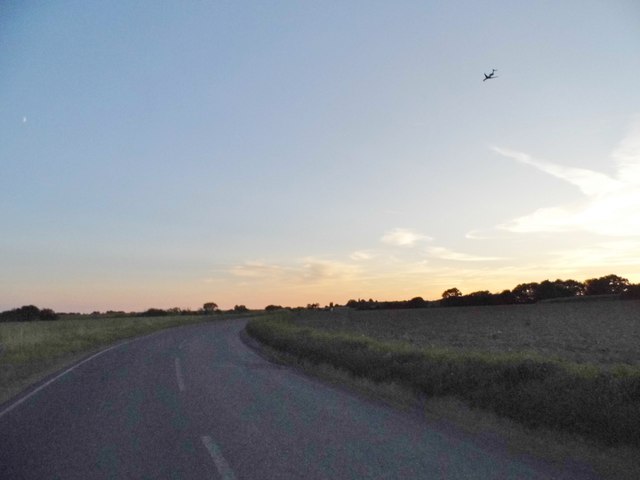
Walking trails meander through the enchanting woodland, offering visitors the chance to explore its hidden gems. The paths are well-maintained, making it accessible for families with young children, elderly individuals, and people with disabilities.

In addition to its natural beauty, Home Wood also offers recreational activities for visitors. There are designated picnic areas where families and friends can enjoy a leisurely lunch amidst the serenity of nature. The forest also provides opportunities for outdoor sports, such as cycling and jogging, with designated paths and tracks available for enthusiasts.

Home Wood is open year-round, with each season offering its unique charm. In spring, the forest comes alive with vibrant blossoms and the songs of nesting birds. In summer, the canopy of trees provides a cool respite from the heat, while autumn transforms the wood into a kaleidoscope of colors as the leaves change. Winter brings a serene beauty, with frost-covered branches creating a magical atmosphere.

Overall, Home Wood in Essex is a haven of natural beauty, providing a peaceful escape from the hustle and bustle of everyday life.

If you have any feedback on the listing, please let us know in the comments section below.

Home Wood Images

Images are sourced within 2km of 51.94378/0.31429924 or Grid Reference TL5929. Thanks to Geograph Open Source API. All images are credited.

Footpath near Thaxted
Spring walk April 2023 Sadly those lovely white flowers would soon be gone
Spring walk April 2023
Sadly those lovely white flowers would soon be gone
Harcamlow Way beside Broxted Road The road is concealed by the hedgerow, the long distance footpath following a well placed grass strip beside the ploughed field
Harcamlow Way beside Broxted Road
The road is concealed by the hedgerow, the long distance footpath following a well placed grass strip beside the ploughed field
Dairy Green Farm and Hill Farm from the air Dairy Green is on the left. Viewed from a Stansted bound flight from Glasgow.
Dairy Green Farm and Hill Farm from the air
Dairy Green is on the left. Viewed from a Stansted bound flight from Glasgow.
Hill Farm from the air Viewed from a Stansted bound flight from Glasgow.
Hill Farm from the air
Viewed from a Stansted bound flight from Glasgow.
Buckingham's Farm from the air Viewed from a Stansted bound flight from Glasgow.
Buckingham's Farm from the air
Viewed from a Stansted bound flight from Glasgow.
Hammer Hill Farm from the air Viewed from a Stansted bound flight from Glasgow.
Hammer Hill Farm from the air
Viewed from a Stansted bound flight from Glasgow.
Armigers Lakes from the air Carp lakes <span class="nowrap"><a title="http://www.bdac.co.uk/venues/lakes/Armigers.htm" rel="nofollow ugc noopener" href="http://www.bdac.co.uk/venues/lakes/Armigers.htm">Link</a><img style="margin-left:2px;" alt="External link" title="External link - shift click to open in new window" src="https://s1.geograph.org.uk/img/external.png" width="10" height="10"/></span> near Thaxted.
Armigers Lakes from the air
Carp lakes LinkExternal link near Thaxted.
The B1051, Stanbrook The plane is coming in to land at Stansted
The B1051, Stanbrook
The plane is coming in to land at Stansted
Field by the B1051, Stanbrook
Armigers Lakes A small coarse fishery near Monk Street and Thaxted <span class="nowrap"><a title="https://www.armigerslakes.co.uk/" rel="nofollow ugc noopener" href="https://www.armigerslakes.co.uk/">Link</a><img style="margin-left:2px;" alt="External link" title="External link - shift click to open in new window" src="https://s1.geograph.org.uk/img/external.png" width="10" height="10"/></span>. See Tam Nugent's picture in better light from 2016 <a href="https://www.geograph.org.uk/photo/5137969">TL6028 : Armigers Lakes from the air</a>. Labelled as reservoirs on OS mapping.
Armigers Lakes
A small coarse fishery near Monk Street and Thaxted LinkExternal link. See Tam Nugent's picture in better light from 2016 TL6028 : Armigers Lakes from the air. Labelled as reservoirs on OS mapping.
Hammer Hill Farm Arable fields, with some woodland beyond in the valley of the River Chelmer.
Hammer Hill Farm
Arable fields, with some woodland beyond in the valley of the River Chelmer.
Field and Home Wood The footpath north of Horham Hall skits the eastern edges of Home Wood.
Field and Home Wood
The footpath north of Horham Hall skits the eastern edges of Home Wood.
On the footpath towards Horham Hall A little of the roof of Horham Hall can be seen emerging from the woods ahead. Although the path goes on the pass the hall quite close to the east, little of the hall can be seen from it.
On the footpath towards Horham Hall
A little of the roof of Horham Hall can be seen emerging from the woods ahead. Although the path goes on the pass the hall quite close to the east, little of the hall can be seen from it.
B1051 near Sharpes Cottages Looking west in the direction of Thaxted.
B1051 near Sharpes Cottages
Looking west in the direction of Thaxted.
Hedge, road and field On the road to Sucksted Green.
Hedge, road and field
On the road to Sucksted Green.
Field on Broxted Hill A field of stubble - the remains of a field of barley - beside the lane between Cherry Green and Sucksted Green.
Field on Broxted Hill
A field of stubble - the remains of a field of barley - beside the lane between Cherry Green and Sucksted Green.
Footpath approaching Cherry Green Farm The path leads from Hamperden End southwards to Cherry Green.
Footpath approaching Cherry Green Farm
The path leads from Hamperden End southwards to Cherry Green.
Show me another place!

Home Wood is located at Grid Ref: TL5929 (Lat: 51.94378, Lng: 0.31429924)

Administrative County: Essex

District: Uttlesford

Police Authority: Essex

What 3 Words

///gobblers.issuer.scoop. Near Thaxted, Essex

Nearby Locations

Home Wood Brown's Wood

Related Wikis

Cutlers Green Halt railway station

Cutlers Green Halt railway station was a station serving the hamlet of Cutlers Green, Essex. It was located 4 miles 52 chains (7.48 km) from Elsenham station...

Horham Hall

Horham Hall may refer to the timber-framed late mediaeval hall in Thaxted, England, or to the brick hall built in its place by Sir John Cutte (died 1520...

Armigers, Essex

Armigers is a hamlet on the B1051 road in the Uttlesford district of Essex, England. It is located midway between Thaxted and Broxted.

Cutlers Green

Cutlers Green is a hamlet in the civil parish of Thaxted, and the Uttlesford district of Essex, England. The hamlet is 1 mile (1.6 km) west from the town...

Thaxted railway station

Thaxted railway station served the village of Thaxted, Essex. It was located 5 miles 47 chains (8.99 km) from Elsenham station. It closed in 1952. ��2...

Cherry Green, Essex

Cherry Green or Chaureth Green is a hamlet in the civil parish of Broxted and the Uttlesford district of Essex, England. The hamlet is 1.5 miles (2.4 km...

John Webb's Mill, Thaxted

John Webb’s or Lowe’s Mill is a Grade II* listed tower mill at Thaxted, Essex, England, which had been restored to working order, but is currently out...

Hamperden End

Hamperden End is a hamlet in the civil parish of Debden, in the Uttlesford district, in the county of Essex, England. Debden Green is north east and Widdington...

Nearby Amenities

Located within 500m of 51.94378,0.31429924
Cutlers Green Halt
Historic Railway: station
Railway: site
Wikidata: Q5196896
Wikipedia: en:Cutlers Green Halt railway station
Lat/Long: 51.94631/0.3137975
The data included in this document is from www.openstreetmap.org. The data is made available under ODbL.

Have you been to Home Wood?

Leave your review of Home Wood below (or comments, questions and feedback).