Church Walk Shaw

Wood, Forest in Kent Tonbridge and Malling

England

Church Walk Shaw

Sign at Plaxtol Spout This sign is beside a small residential development that is on the site of Hyders Forge.
Sign at Plaxtol Spout Credit: Ron Lee

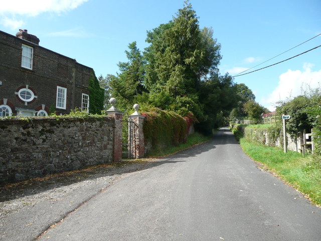
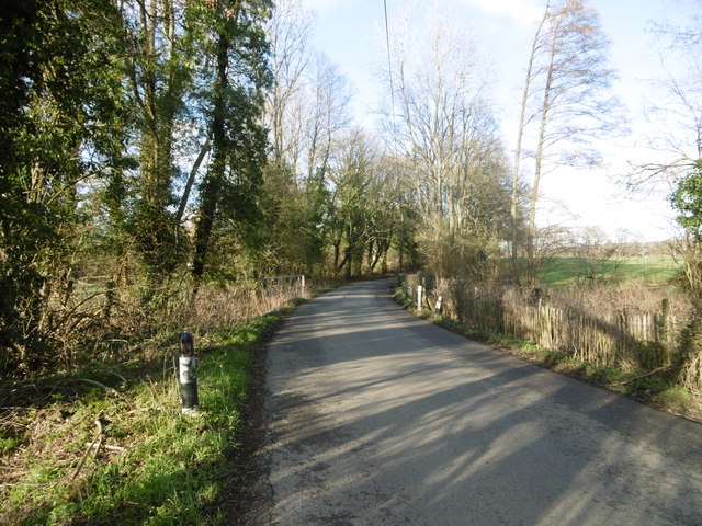
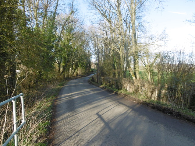
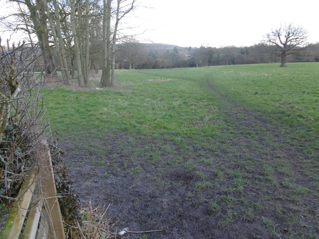
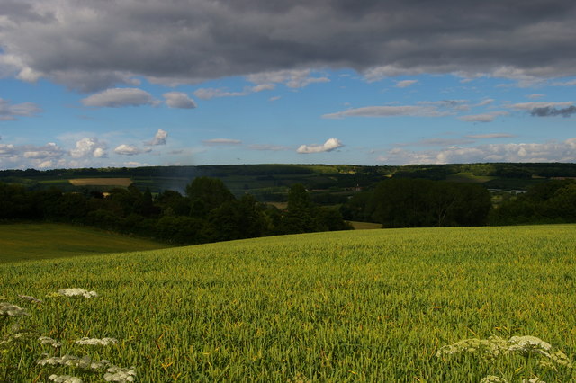
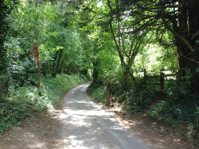
Church Walk Shaw is a charming woodland area located in the county of Kent, England. Situated in the village of Shaw, this woodland is known for its serene atmosphere and natural beauty. The area is predominantly covered in a mixture of deciduous and coniferous trees, creating a diverse and enchanting landscape.

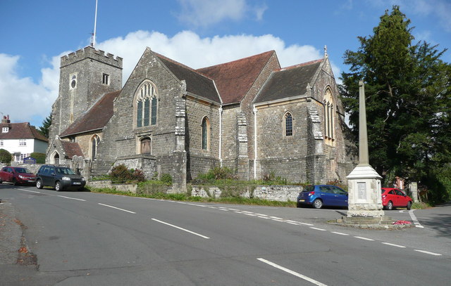
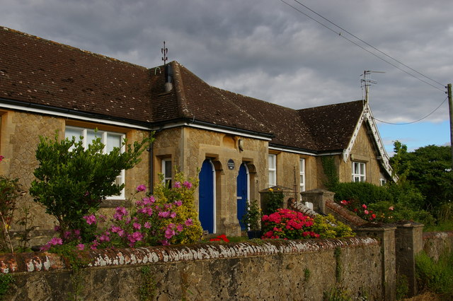
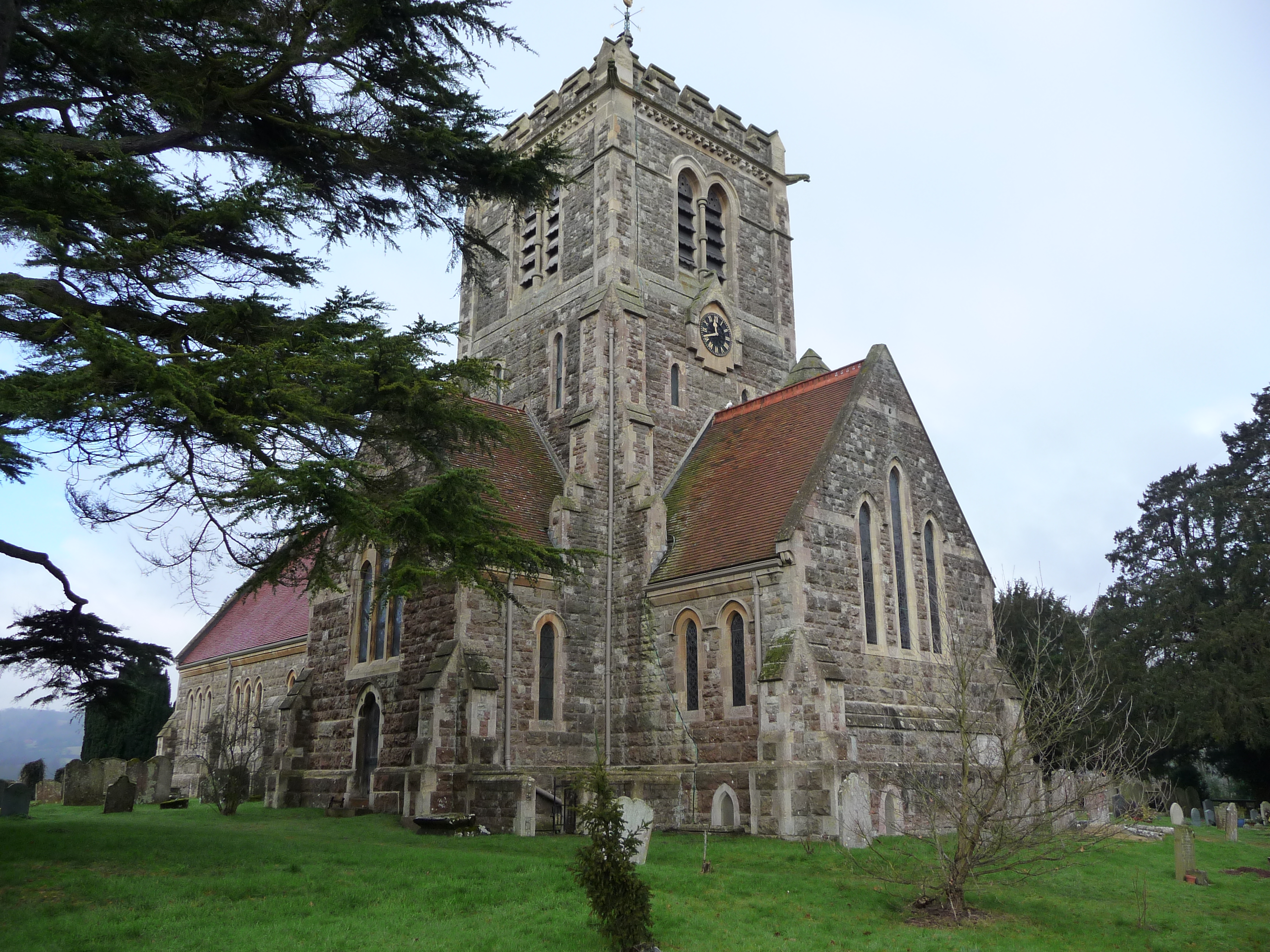
As the name suggests, Church Walk Shaw is home to an old church called St. Mary's Church, which adds historical significance to the area. The church is a Grade II listed building, with origins dating back to the 12th century. Its architectural style is predominantly Gothic, with some Norman influences, and it stands as a testament to the rich history of the region.

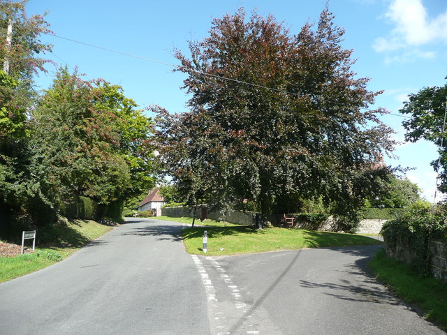
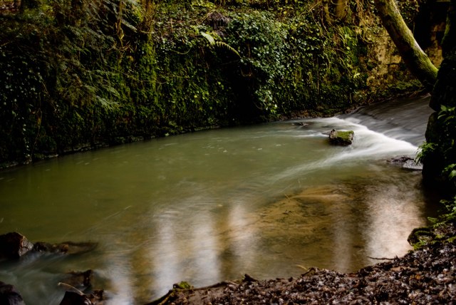
The woodland itself offers visitors a peaceful escape from the hustle and bustle of everyday life. Walking trails wind through the trees, providing an opportunity to immerse oneself in nature and enjoy the tranquil surroundings. Wildlife enthusiasts can spot a variety of bird species, such as woodpeckers and owls, as well as small mammals like squirrels and rabbits.

Church Walk Shaw is a popular destination for nature lovers, hikers, and those seeking a moment of solitude in the midst of nature. The area is well-maintained, with clear paths and informative signposts to guide visitors. Whether one chooses to explore the woods, admire the historical church, or simply relax in the serene environment, Church Walk Shaw offers a truly idyllic experience for all who visit.

If you have any feedback on the listing, please let us know in the comments section below.

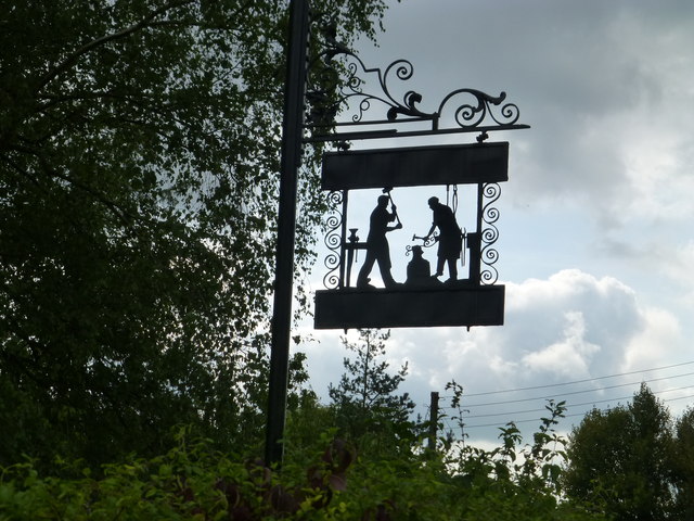
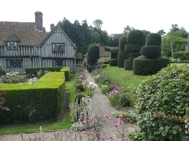
Church Walk Shaw Images

Images are sourced within 2km of 51.253501/0.28156997 or Grid Reference TQ5952. Thanks to Geograph Open Source API. All images are credited.

Sign at Plaxtol Spout This sign is beside a small residential development that is on the site of Hyders Forge.
Sign at Plaxtol Spout
This sign is beside a small residential development that is on the site of Hyders Forge.
Plaxtol Church This church is unusual in having no dedication. It was built in 1649, but has 19C windows. It is listed, Grade II*. The war memorial is not yet listed.
Plaxtol Church
This church is unusual in having no dedication. It was built in 1649, but has 19C windows. It is listed, Grade II*. The war memorial is not yet listed.
Grass triangle with copper beech tree, Plaxtol
Topiary at Nut Tree Hall, Plaxtol Nut Tree Hall is listed, Grade II, and the listing details state that it was built in the 16C, and restored and altered in 1905 by Harrison Townsend.
Topiary at Nut Tree Hall, Plaxtol
Nut Tree Hall is listed, Grade II, and the listing details state that it was built in the 16C, and restored and altered in 1905 by Harrison Townsend.
Grange Hill at The Grange, Plaxtol The Grange is listed, Grade II*, and the listing details include: "House. Early C17 house refronted in 1702, remodelled in 1926 by Sir Edwin Lutyens." The 18C wall and gate piers are also listed, Grade II.
Grange Hill at The Grange, Plaxtol
The Grange is listed, Grade II*, and the listing details include: "House. Early C17 house refronted in 1702, remodelled in 1926 by Sir Edwin Lutyens." The 18C wall and gate piers are also listed, Grade II.
Grass triangle with village sign, Plaxtol This is perhaps a tiny village green, although on the outskirts rather than at the centre of the village. It has the classic pairing of a red telephone kiosk and a letter box, and also an old-style signpost, a village notice board, a bench and a centrally-placed litter bin.
Grass triangle with village sign, Plaxtol
This is perhaps a tiny village green, although on the outskirts rather than at the centre of the village. It has the classic pairing of a red telephone kiosk and a letter box, and also an old-style signpost, a village notice board, a bench and a centrally-placed litter bin.
Puttenden Road Puttenden Road crosses a small stream ahead on its way to Claygate and Puttenden Manor Farm.
Puttenden Road
Puttenden Road crosses a small stream ahead on its way to Claygate and Puttenden Manor Farm.
Stream seen from Puttenden Road Puttenden Road crosses this small stream near Hookwood Farm. See also <a title="https://www.geograph.org.uk/photo/4832679" href="https://www.geograph.org.uk/photo/4832679">Link</a>
Stream seen from Puttenden Road
Puttenden Road crosses this small stream near Hookwood Farm. See also Link
Puttenden Road Puttenden Road crosses a small stream here on its way to Claygate and Puttenden Manor Farm. See also <a title="https://www.geograph.org.uk/photo/4832681" href="https://www.geograph.org.uk/photo/4832681">Link</a>
Puttenden Road
Puttenden Road crosses a small stream here on its way to Claygate and Puttenden Manor Farm. See also Link
Footpath next to Long Mill Lane This footpath makes a right angled bend just ahead and then leads to Allens Lane.
Footpath next to Long Mill Lane
This footpath makes a right angled bend just ahead and then leads to Allens Lane.
Plaxtol: view east off School Lane On the high ground across the valley are Mereworth Woods.
Plaxtol: view east off School Lane
On the high ground across the valley are Mereworth Woods.
Betenson Cottages, School Lane, Plaxtol
Plaxtol: cottages by the church
Plaxtol: names on the village war memorial The memorial shares some surnames - notably Cazalet, the local big family - with the memorial in the nearby village of Shipbourne.
Plaxtol: names on the village war memorial
The memorial shares some surnames - notably Cazalet, the local big family - with the memorial in the nearby village of Shipbourne.
London Countryway in Kent (128) The walk arrives at Yopps Green with a view of oasts.  Another picture of the oasts is at <a title="https://www.geograph.org.uk/photo/2578698" href="https://www.geograph.org.uk/photo/2578698">Link</a>.
London Countryway in Kent (128)
The walk arrives at Yopps Green with a view of oasts. Another picture of the oasts is at Link.
London Countryway in Kent (129) This bridleway is followed westwards from the road.  See also <a title="https://www.geograph.org.uk/photo/1573583" href="https://www.geograph.org.uk/photo/1573583">Link</a>.
London Countryway in Kent (129)
This bridleway is followed westwards from the road. See also Link.
The Golding Hop, near Plaxtol
Sheet Hill, near Plaxtol
Show me another place!

Church Walk Shaw is located at Grid Ref: TQ5952 (Lat: 51.253501, Lng: 0.28156997)

Administrative County: Kent

District: Tonbridge and Malling

Police Authority: Kent

What 3 Words

///elaborate.twig.crust. Near Borough Green, Kent

Related Wikis

Shipbourne

Shipbourne ( SHIB-ərn) is a village and civil parish situated between the towns of Sevenoaks and Tonbridge, in the borough of Tonbridge and Malling in...

Fairlawne

Fairlawne is a Grade I listed house in Shipbourne, Kent, England, about 30 miles southeast of central London. The Fairlawne Estate is extensive and stretches...
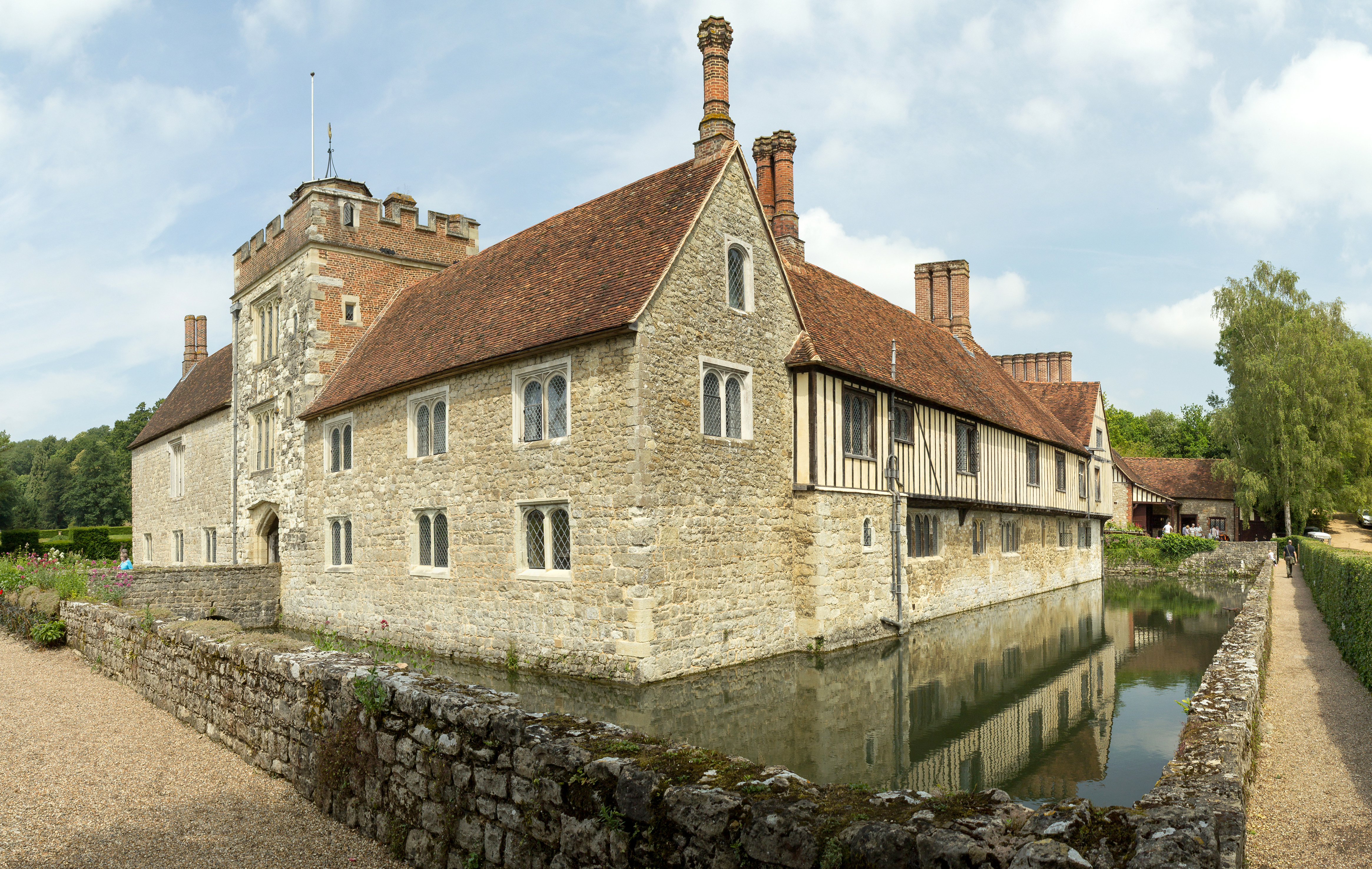
Ightham Mote

Ightham Mote (), at Ightham, is a medieval moated manor house in Kent, England. The architectural writer John Newman describes it as "the most complete...
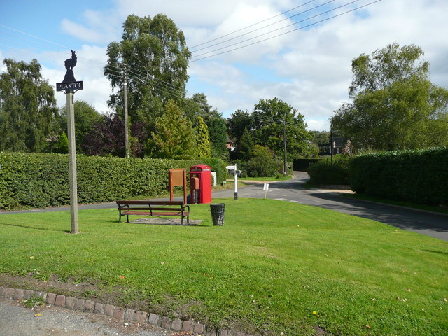
Plaxtol

Plaxtol is a village and civil parish in the borough of Tonbridge and Malling in Kent, England. The village is located around 5 miles (8 km) north of Tonbridge...

Yopps Green

Yopps Green is a hamlet in the Tonbridge and Malling District, in the county of Kent, England. It is part of the small village of Plaxtol. == Location... ==

Ivy Hatch Nature Reserve

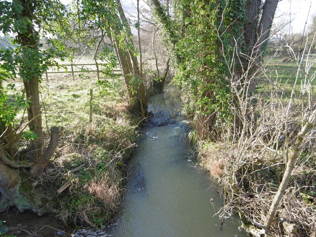
Ivy Hatch Nature Reserve in Ivy Hatch, north of Tonbridge in Kent, is a 0.5-hectare (1.2-acre) reserve managed by the Kent Wildlife Trust.Several streams...

Bourne Alder Carr

Bourne Alder Carr is a 13.4-hectare (33-acre) biological Site of Special Scientific Interest east of Sevenoaks in Kent.The River Bourne runs through a...

One Tree Hill and Bitchet Common

One Tree Hill and Bitchet Common is a 79.2-hectare (196-acre) biological Site of Special Scientific Interest east of Sevenoaks in Kent. It is in Kent Downs...

Nearby Amenities

Located within 500m of 51.253501,0.28156997
The data included in this document is from www.openstreetmap.org. The data is made available under ODbL.

Have you been to Church Walk Shaw?

Leave your review of Church Walk Shaw below (or comments, questions and feedback).