Farm Belt
Wood, Forest in Cambridgeshire East Cambridgeshire
England
Farm Belt
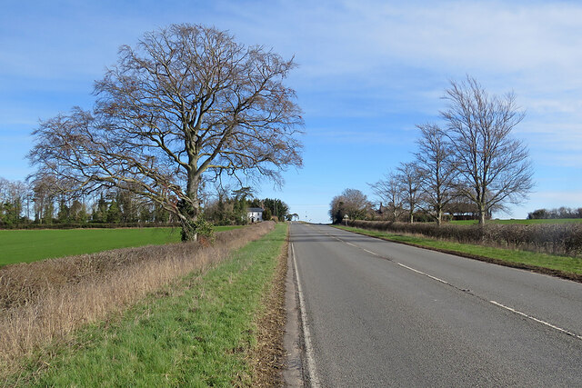
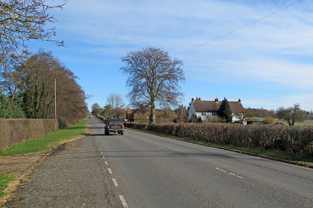
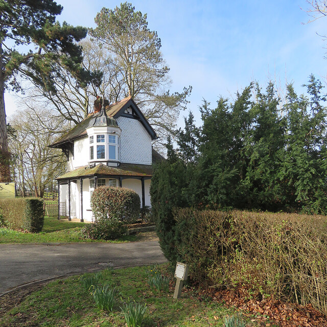
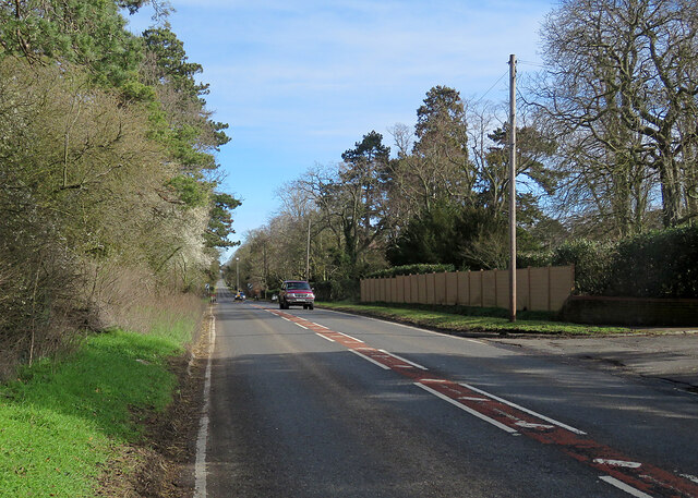
Farm Belt is a charming rural area located in Cambridgeshire, England. Situated in the eastern part of the county, Farm Belt is characterized by its picturesque woodlands and forests that dot the landscape. Covering an expansive area, it offers a serene and tranquil environment for residents and visitors alike.
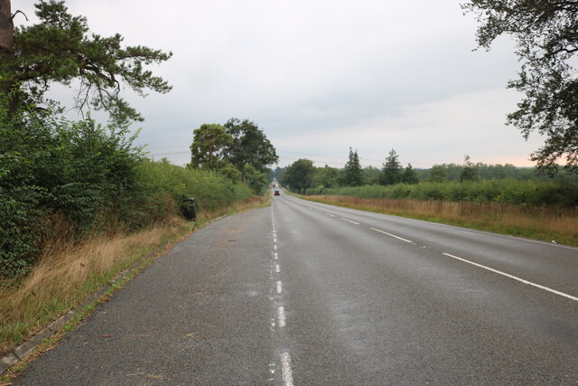
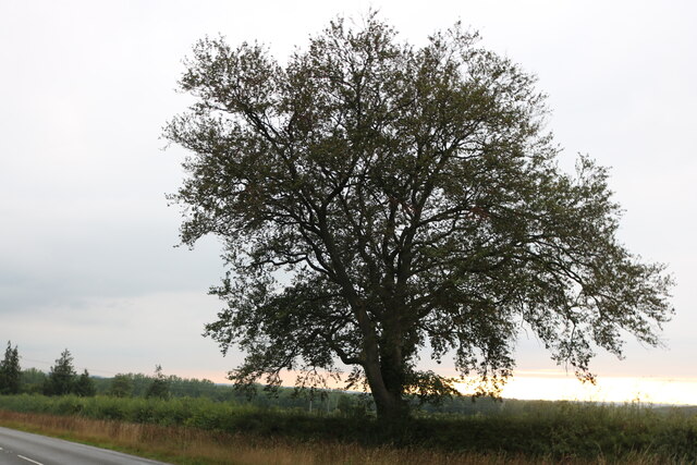
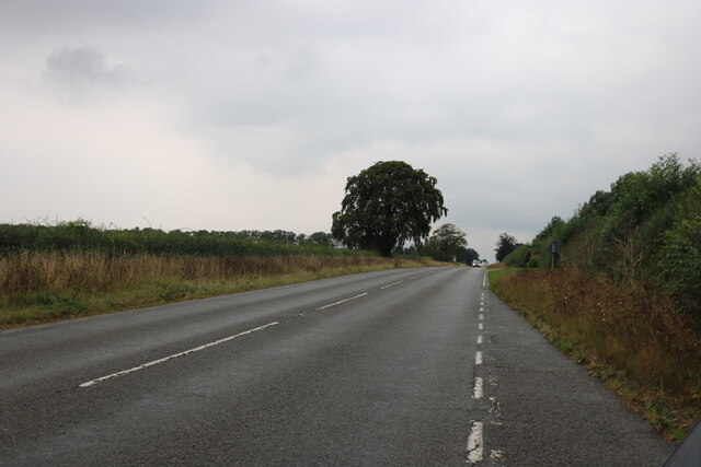
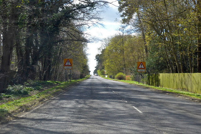
The main feature of Farm Belt is its vast expanse of woodlands and forests, which provide a diverse range of flora and fauna. The trees in this area include oak, beech, and birch, creating a lush and green environment. These woodlands are not only aesthetically pleasing but also offer a habitat for various wildlife species, such as deer, foxes, and numerous bird species.
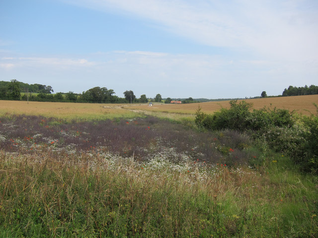
Farm Belt is also known for its agricultural activities, as the name suggests. The fertile soil of the region supports a thriving farming community that cultivates crops such as wheat, barley, and rapeseed. The fields are meticulously maintained, adding to the area's scenic beauty.
In addition to its natural beauty, Farm Belt offers a range of recreational activities for visitors. There are several well-maintained walking trails and cycling routes that allow people to immerse themselves in the peaceful surroundings. It is also a popular spot for nature enthusiasts, birdwatchers, and photographers.
Overall, Farm Belt in Cambridgeshire is a remarkable countryside location that showcases the natural beauty of woodlands and forests, combined with its thriving agricultural community. It is a haven for those seeking a peaceful retreat and an opportunity to connect with nature.
If you have any feedback on the listing, please let us know in the comments section below.
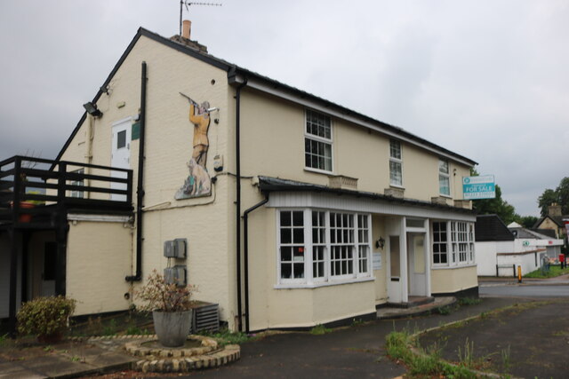
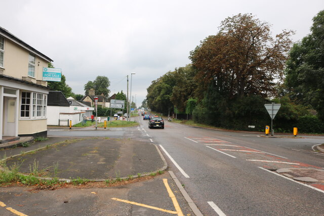
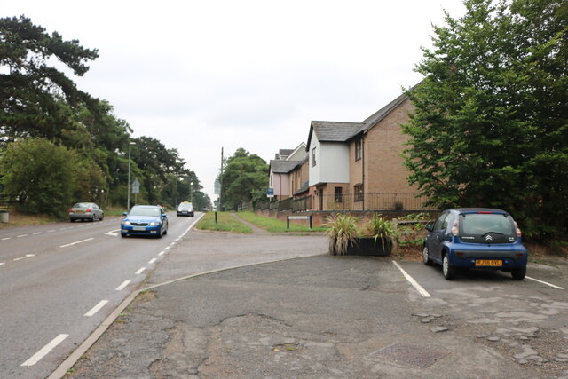
Farm Belt Images
Images are sourced within 2km of 52.187065/0.32866989 or Grid Reference TL5956. Thanks to Geograph Open Source API. All images are credited.


Farm Belt is located at Grid Ref: TL5956 (Lat: 52.187065, Lng: 0.32866989)
Administrative County: Cambridgeshire
District: East Cambridgeshire
Police Authority: Cambridgeshire
What 3 Words
///reporting.mooring.research. Near Bottisham, Cambridgeshire
Nearby Locations
Related Wikis

Six Mile Bottom
Six Mile Bottom is a hamlet within the parish of Little Wilbraham, near Cambridge in England. == Etymology == The hamlet was named in 1801, deriving its...

Six Mile Bottom railway station
Six Mile Bottom railway station is a disused railway station on the Ipswich to Cambridge line between Dullingham and Fulbourn. It served the village of...

Westley Waterless
Westley Waterless is a small village and civil parish in East Cambridgeshire, England, 5 miles south west of Newmarket. == History == The parish of Westley...

Dullingham railway station
Dullingham is a railway station that serves the village of Dullingham in Cambridgeshire, England. It is about 1 mile (1.6 km) north-west of the centre...
Dullingham
Dullingham is a small village and civil parish in East Cambridgeshire, England. It is situated 4 miles (6 km) south of Newmarket and 14 miles (23 km) east...

Great Wilbraham
Great Wilbraham is a small village situated in a rural area some seven miles (11 km) to the east of Cambridge, between the edge of an area of low-lying...

Brinkley, Cambridgeshire
Brinkley is a small village in Cambridgeshire, England. It is situated about 15 miles east of Cambridge and 5 miles south of Newmarket, the horse racing...

Weston Colville
Weston Colville is a village in South Cambridgeshire, 10 miles southeast of Cambridge and 6 miles south of Newmarket, close to the border with Suffolk...
Nearby Amenities
Located within 500m of 52.187065,0.32866989Have you been to Farm Belt?
Leave your review of Farm Belt below (or comments, questions and feedback).