Abbot's Wood
Wood, Forest in Kent Sevenoaks
England
Abbot's Wood
Abbot's Wood is a beautiful and tranquil woodland located in Kent, England. Covering an area of approximately 200 acres, it is situated near the village of Blean, just a few miles from Canterbury. The wood is owned and managed by the Forestry Commission, ensuring its protection and preservation for future generations to enjoy.
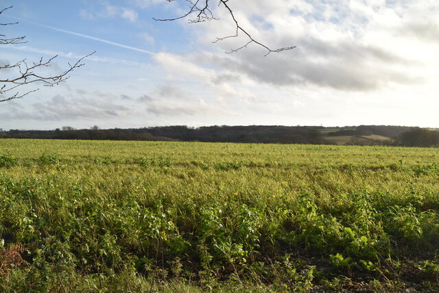
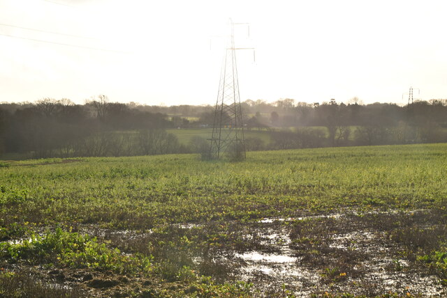
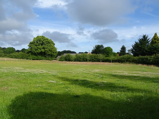
The woodland is predominantly made up of oak and birch trees, creating a diverse and vibrant ecosystem. It is classified as a Site of Special Scientific Interest (SSSI) due to its rich biodiversity and importance for wildlife conservation. Abbot's Wood is home to a variety of plant species, including bluebells, wood anemones, and wild garlic, which create a stunning display of colors during the spring months.
The wood also provides a habitat for a wide range of animal species. Visitors may be lucky enough to spot deer, badgers, foxes, and numerous bird species, including woodpeckers and owls. The forest is also a popular location for birdwatching, with several designated hideouts and feeding stations for enthusiasts.
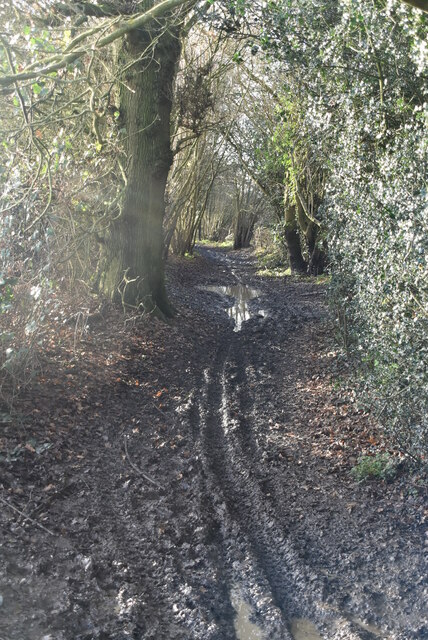
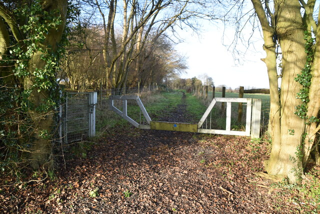
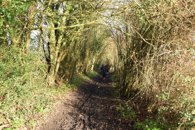
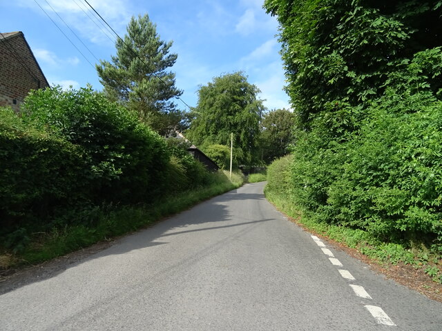
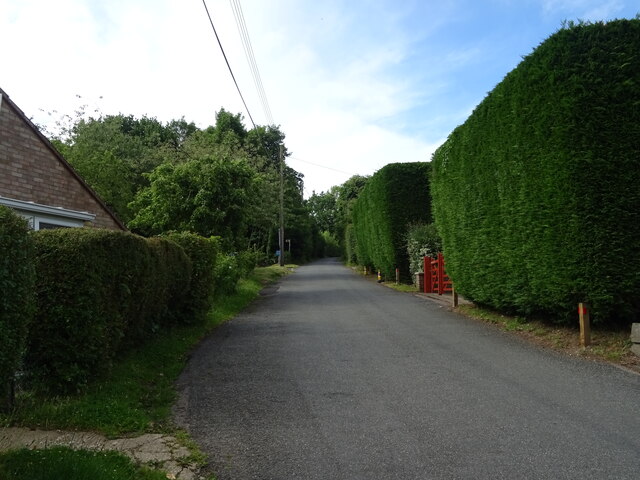
Abbot's Wood offers a network of well-maintained trails and footpaths, allowing visitors to explore this natural haven at their own pace. There are also picnic areas and benches scattered throughout the woodland, providing the perfect spot to relax and soak in the peaceful surroundings.
Whether you are a nature lover, a keen walker, or simply seeking a calm escape from the hustle and bustle of everyday life, Abbot's Wood is a hidden gem waiting to be discovered.
If you have any feedback on the listing, please let us know in the comments section below.
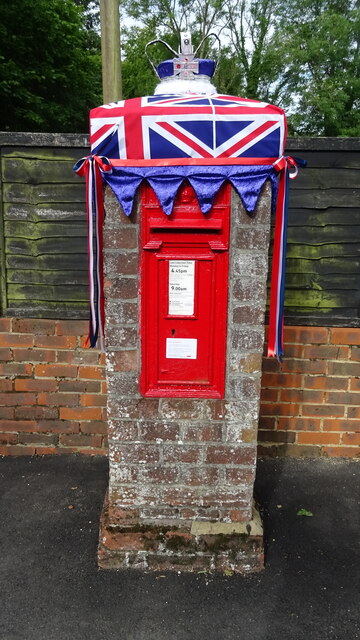
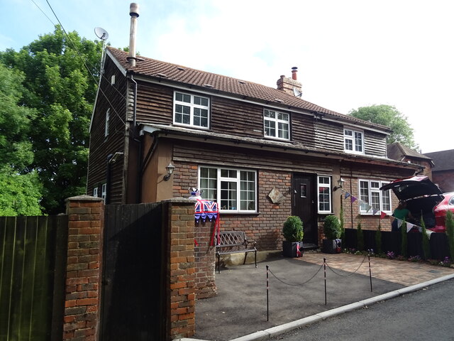
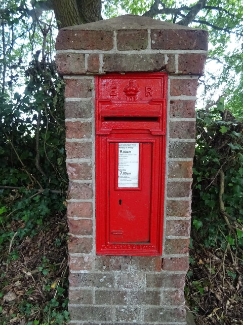
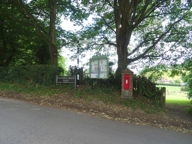
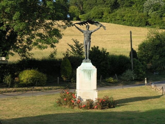
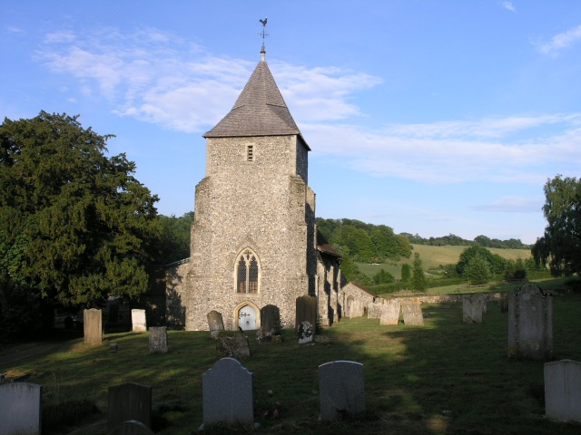
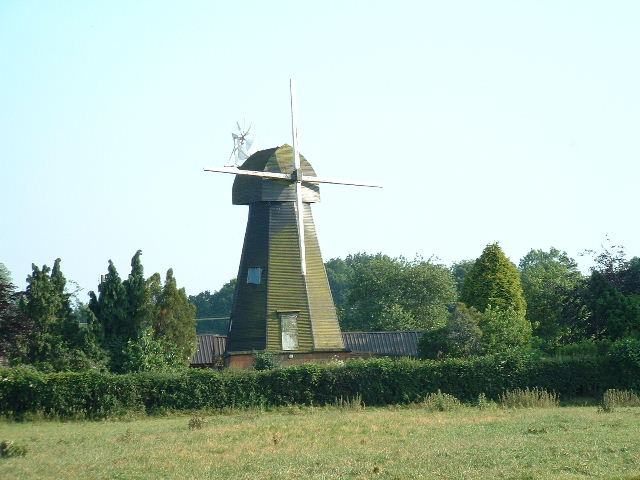
Abbot's Wood Images
Images are sourced within 2km of 51.334148/0.28090632 or Grid Reference TQ5861. Thanks to Geograph Open Source API. All images are credited.
Abbot's Wood is located at Grid Ref: TQ5861 (Lat: 51.334148, Lng: 0.28090632)
Administrative County: Kent
District: Sevenoaks
Police Authority: Kent
What 3 Words
///events.belt.police. Near West Kingsdown, Kent
Nearby Locations
Related Wikis

West Kingsdown Windmill
West Kingsdown Windmill is a Grade II listed smock mill in West Kingsdown, Kent, England, that was built in the early nineteenth century at Farningham...

London Golf Club
The London Golf Club is a privately owned golf course located in the village of Ash, Kent, approximately 20 miles southeast of London. == History == The...
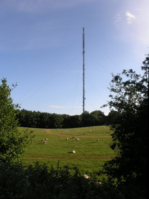
Wrotham transmitting station
The Wrotham transmitting station is located on the North Downs, close to the village of Wrotham in Kent, England and just north of the M20 motorway. Its...
Stansted, Kent
Stansted (referred to in older texts as Stanstead) is a village and rural parish in the Tonbridge and Malling district of the county of Kent in the United...

Knatts Valley
Knatts Valley is a hamlet situated in the West Kingsdown civil parish in the county of Kent, England. It was originally a rural community consisting mainly...
West Kingsdown
West Kingsdown is a village and civil parish in the Sevenoaks district of Kent, England, on the A20 5 miles (8 km) southeast of Swanley, 5.5 miles (9 km...
Ash, Sevenoaks District
Ash is a small village and former civil parish located in the Sevenoaks district in Kent. It shares the parish of Ash-cum-Ridley with the nearby village...
Brands Hatch
Brands Hatch is a motor racing circuit in West Kingsdown, Kent, England, United Kingdom. Originally used as a grasstrack motorcycle circuit on farmland...
Related Videos


They cut 2700 HOLES in his HEAD!!! (Tubes hair transplant story)
Get Pouch for FREE and start saving money today! https://joinpouch.com/i/robbie In this week's episode of Going For A Walk ...

PW09: Stage 09 of 15 from the Otford Tea Rooms in Otford to the Recycling Centre in Wrotham
Between 31 August and 3 September 2020, I cycled the Pilgrims' Way in England, an historical route taken by pilgrims for ...
Nearby Amenities
Located within 500m of 51.334148,0.28090632Have you been to Abbot's Wood?
Leave your review of Abbot's Wood below (or comments, questions and feedback).