Cowden Wood
Wood, Forest in Sussex Wealden
England
Cowden Wood
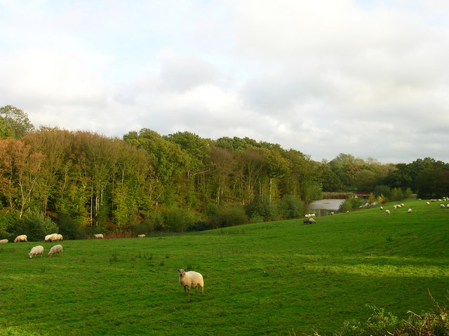
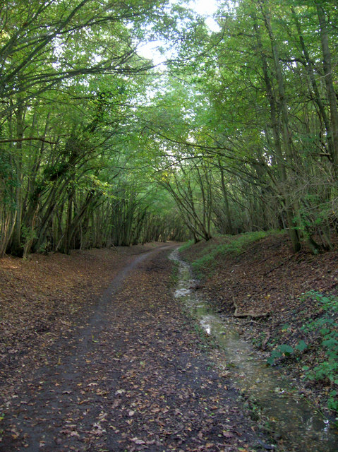
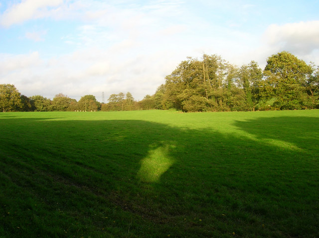
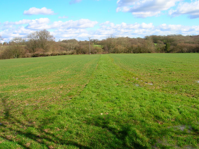
Cowden Wood is a picturesque forest located in the county of Sussex, England. Covering an area of approximately 200 hectares, it offers a serene and tranquil environment for nature enthusiasts and visitors seeking a peaceful retreat. Situated near the village of Cowden, the wood is easily accessible and attracts a range of visitors throughout the year.
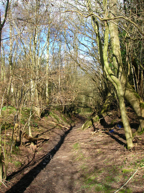
The woodland is predominantly composed of broad-leaved trees, including oak, beech, and birch, which create a vibrant and diverse ecosystem. The dense canopy provides shade on hot summer days, making it an ideal spot for picnics or leisurely walks. The forest floor is adorned with an array of wildflowers, mushrooms, and ferns, adding to the natural beauty and biodiversity of the area.
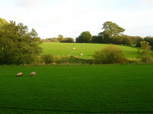
Cowden Wood is home to a variety of wildlife, including deer, foxes, badgers, and a plethora of bird species. It serves as an important habitat for many indigenous and migratory birds, making it a popular destination for birdwatchers and ornithologists. Visitors may catch glimpses of woodpeckers, owls, and other rare species amidst the trees.
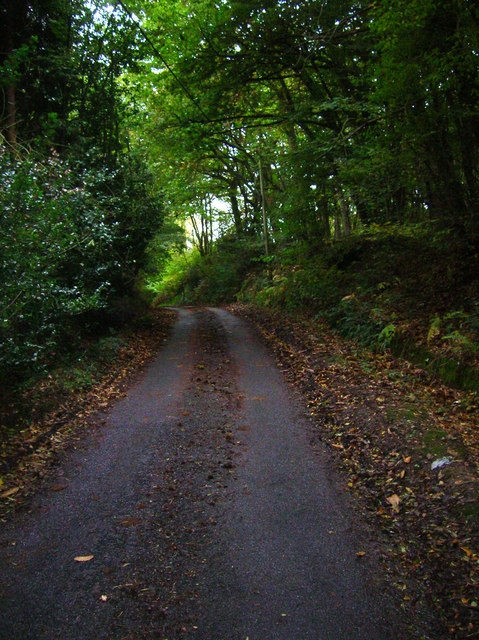
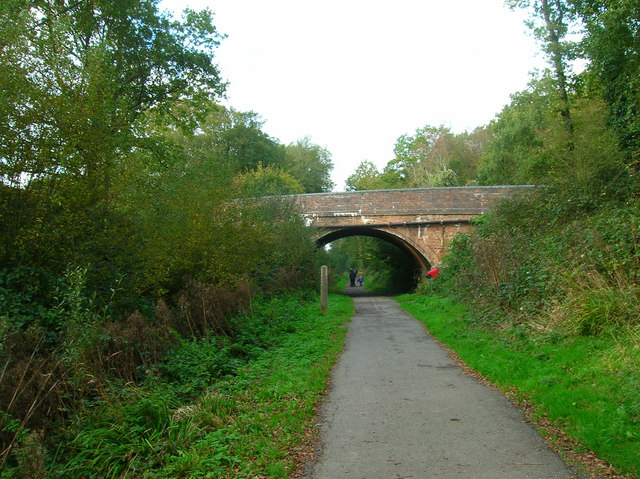
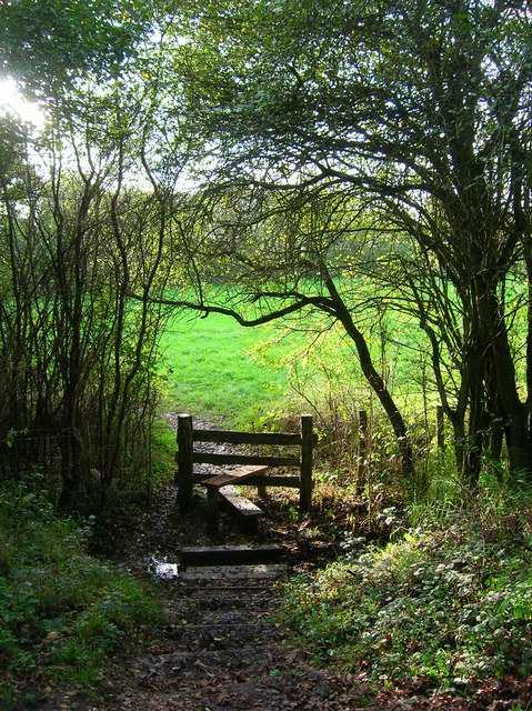
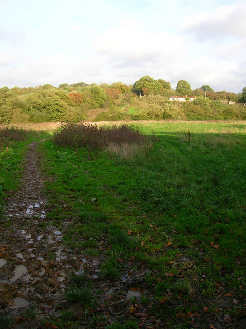
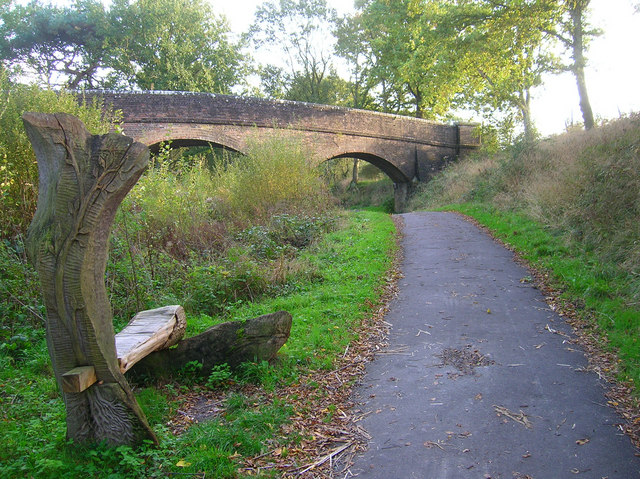
The woodland offers a network of well-maintained trails and footpaths, allowing visitors to explore and immerse themselves in the natural surroundings. These paths cater to different abilities, ensuring that everyone can enjoy the forest at their own pace. Additionally, there are picnic areas and benches strategically placed throughout the wood, providing opportunities for rest and relaxation.
Cowden Wood is not only a haven for nature lovers but also a valuable resource for education and research. Environmental organizations and local schools frequently utilize the forest as an outdoor classroom, teaching visitors about the importance of conservation and the delicate balance of ecosystems.
In summary, Cowden Wood in Sussex offers a peaceful escape into nature, boasting a diverse range of flora and fauna. With its accessible trails, stunning scenery, and educational value, it is a beloved destination for both locals and tourists alike.
If you have any feedback on the listing, please let us know in the comments section below.
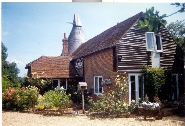
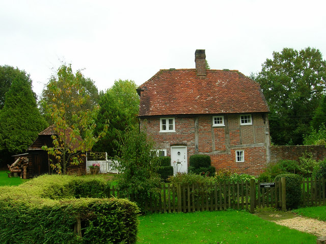
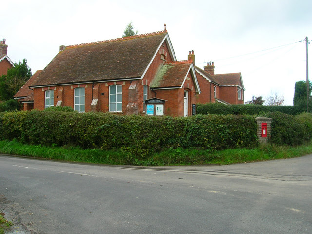
Cowden Wood Images
Images are sourced within 2km of 50.914183/0.25928457 or Grid Reference TQ5815. Thanks to Geograph Open Source API. All images are credited.


Cowden Wood is located at Grid Ref: TQ5815 (Lat: 50.914183, Lng: 0.25928457)
Administrative County: East Sussex
District: Wealden
Police Authority: Sussex
What 3 Words
///spoiler.radiating.releasing. Near Horam, East Sussex
Nearby Locations
Related Wikis

Horam
Horam is a village, electoral ward and civil parish in the Wealden District of East Sussex, situated three miles (4.8 km) south of Heathfield. Included...
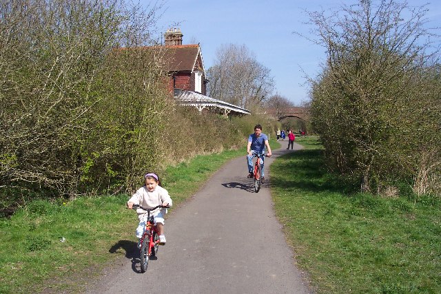
Cuckoo Trail
The Cuckoo Trail is a 14-mile (23 km) footpath and cycleway which runs from Hampden Park to Heathfield in East Sussex. It passes through the towns of Polegate...

Gun Hill, East Sussex
Gun Hill is a hamlet in the civil parish of Chiddingly in the Wealden district of East Sussex, England. It is one of the seven hills of the parish in which...
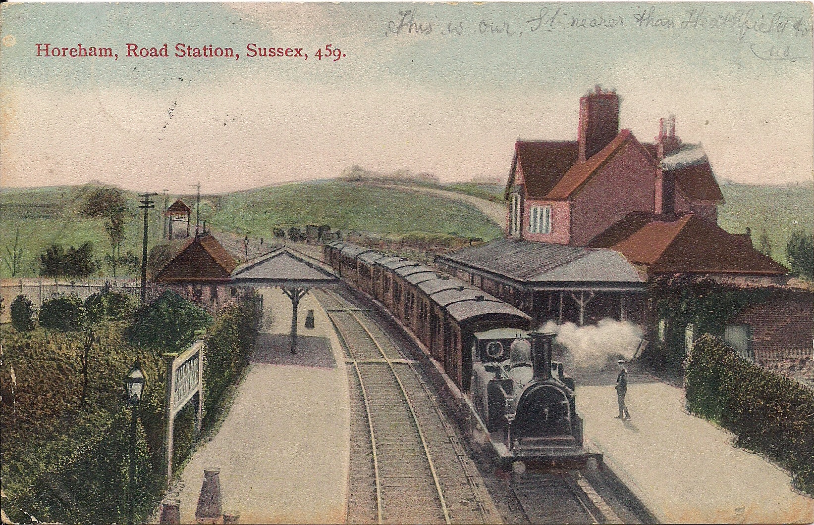
Horam railway station
Horam railway station was on the Cuckoo Line between Hellingly and Heathfield, serving the village of Horam. == History == The station was opened by the...

Hellingly
Hellingly (pronounced 'Helling-lye') is a village, and can also refer to a civil parish, and to a district ward, in the Wealden District of East Sussex...

Hellingly Hospital
Hellingly Hospital, formerly the East Sussex County Asylum, was a large psychiatric hospital close to the village of Hellingly, east of Hailsham, in the...
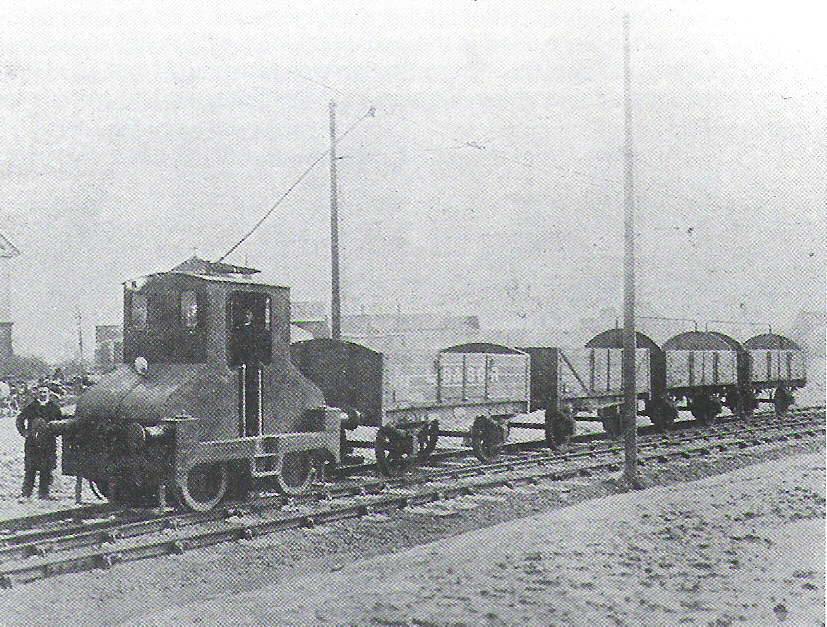
Hellingly Hospital Railway
The Hellingly Hospital Railway was a light railway owned and operated by East Sussex County Council, used for transporting coal and passengers to Hellingly...
Cowbeech
Cowbeech is a small village in the civil parish of Herstmonceux in the Wealden district of East Sussex, England. Its nearest town is Hailsham, which lies...
Nearby Amenities
Located within 500m of 50.914183,0.25928457Have you been to Cowden Wood?
Leave your review of Cowden Wood below (or comments, questions and feedback).