Bent Wood
Wood, Forest in Sussex Wealden
England
Bent Wood
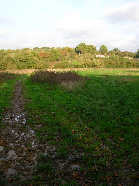
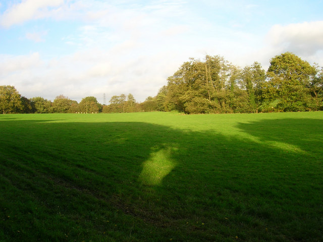
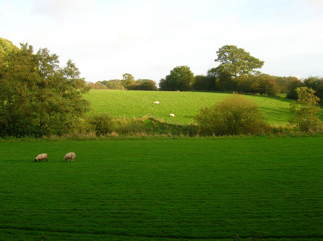
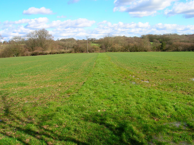
Bent Wood is a picturesque woodland area located in Sussex, England. Nestled amidst the rolling hills and stunning landscapes of the South Downs National Park, this forested region offers visitors a tranquil and immersive experience in nature.
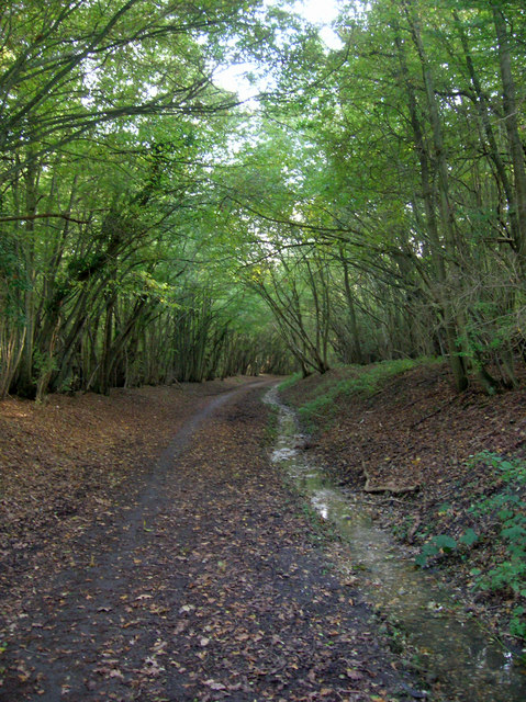
The woodland gets its name from the distinctive curved shape of its trees, which have been shaped by the prevailing winds that sweep across the area. These bent and twisted trees create a unique and enchanting atmosphere, making Bent Wood a popular destination for nature enthusiasts and photographers alike.
Covering an area of approximately 100 acres, Bent Wood is home to a diverse range of flora and fauna. The forest is predominantly made up of deciduous trees, including oak, beech, and birch, which provide a rich habitat for various bird species, small mammals, and insects. In spring, the forest floor comes alive with a vibrant display of bluebells and other wildflowers, adding to the area's natural beauty.
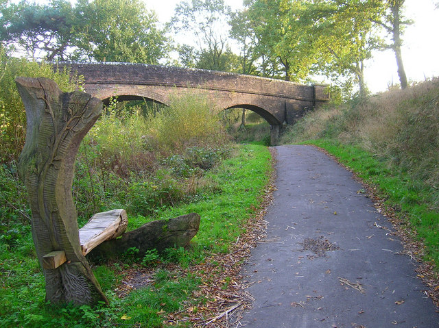
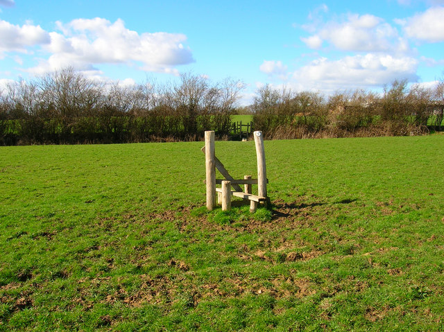
Visitors to Bent Wood can explore a network of well-maintained walking trails that wind their way through the forest, offering opportunities for leisurely strolls and peaceful picnics. There are also designated areas for wildlife observation and bird-watching, allowing visitors to get up close to the region's diverse wildlife.
Bent Wood is easily accessible, located just a short drive from the nearby village of Sussex. The woodland offers ample parking facilities and is open to the public all year round, with no admission fee. Whether it's for a peaceful retreat, a family outing, or a chance to immerse oneself in nature's beauty, Bent Wood is a must-visit destination for nature lovers visiting Sussex.
If you have any feedback on the listing, please let us know in the comments section below.
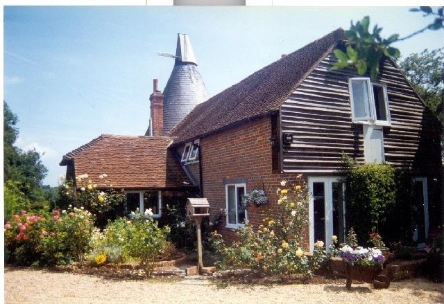
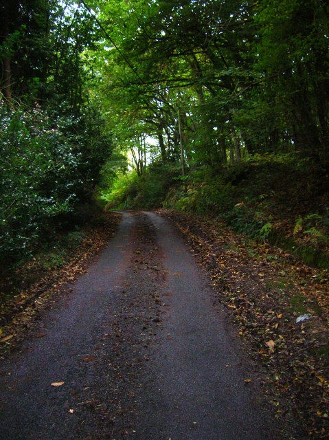
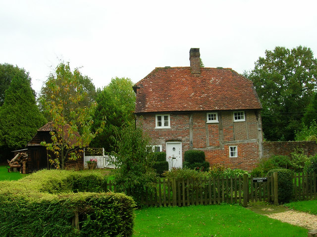
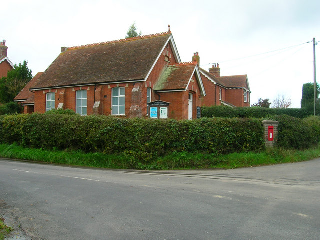
Bent Wood Images
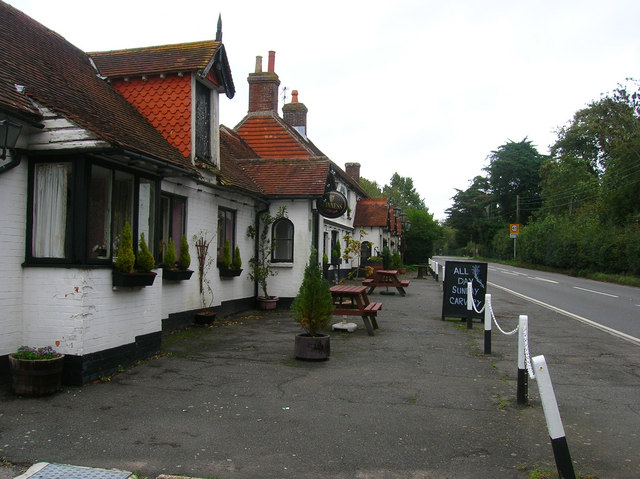
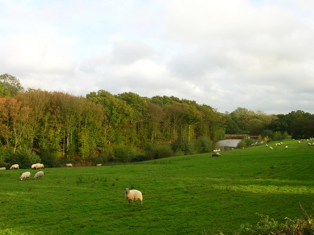
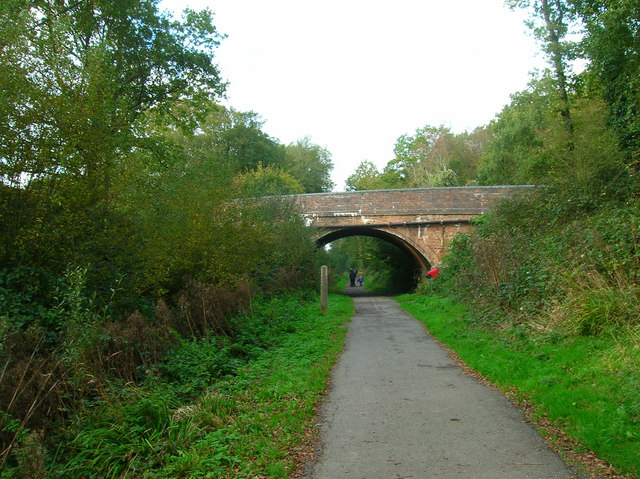
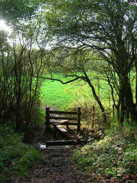
Images are sourced within 2km of 50.916331/0.25376878 or Grid Reference TQ5815. Thanks to Geograph Open Source API. All images are credited.


Bent Wood is located at Grid Ref: TQ5815 (Lat: 50.916331, Lng: 0.25376878)
Administrative County: East Sussex
District: Wealden
Police Authority: Sussex
What 3 Words
///snoozing.slumped.peach. Near Horam, East Sussex
Nearby Locations
Related Wikis

Horam
Horam is a village, electoral ward and civil parish in the Wealden District of East Sussex, situated three miles (4.8 km) south of Heathfield. Included...

Gun Hill, East Sussex
Gun Hill is a hamlet in the civil parish of Chiddingly in the Wealden district of East Sussex, England. It is one of the seven hills of the parish in which...
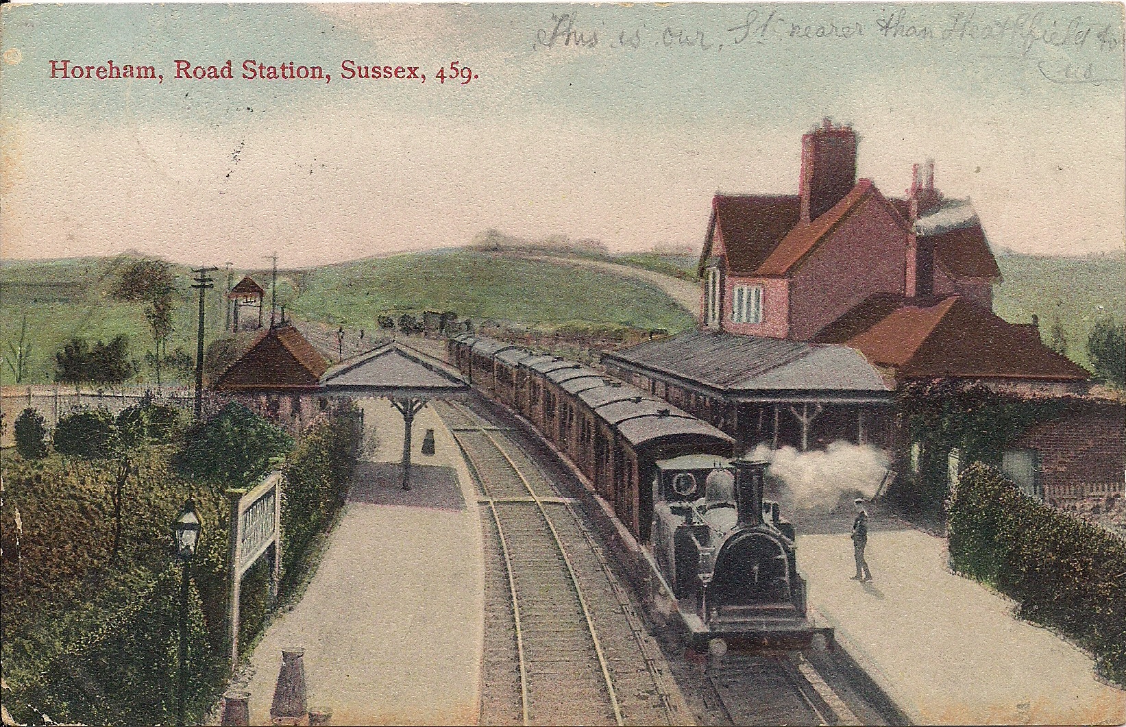
Horam railway station
Horam railway station was on the Cuckoo Line between Hellingly and Heathfield, serving the village of Horam. == History == The station was opened by the...
Cuckoo Trail
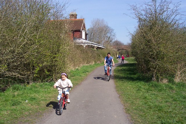
The Cuckoo Trail is a 14-mile (23 km) footpath and cycleway which runs from Hampden Park to Heathfield in East Sussex. It passes through the towns of Polegate...

Hellingly
Hellingly (pronounced 'Helling-lye') is a village, and can also refer to a civil parish, and to a district ward, in the Wealden District of East Sussex...
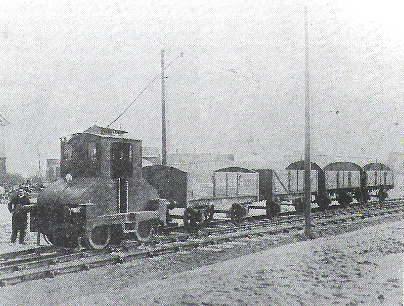
Hellingly Hospital Railway
The Hellingly Hospital Railway was a light railway owned and operated by East Sussex County Council, used for transporting coal and passengers to Hellingly...

Hellingly Hospital
Hellingly Hospital, formerly the East Sussex County Asylum, was a large psychiatric hospital close to the village of Hellingly, east of Hailsham, in the...

Maynard's Green
Maynard's Green is a village in the Wealden district of East Sussex. == External links == Maynards Green Community Primary School
Nearby Amenities
Located within 500m of 50.916331,0.25376878Have you been to Bent Wood?
Leave your review of Bent Wood below (or comments, questions and feedback).