Balsham Wood
Wood, Forest in Cambridgeshire South Cambridgeshire
England
Balsham Wood
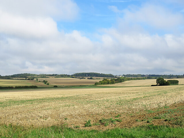
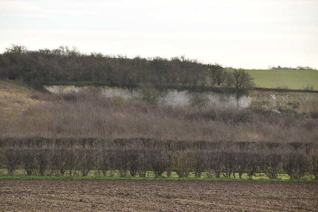
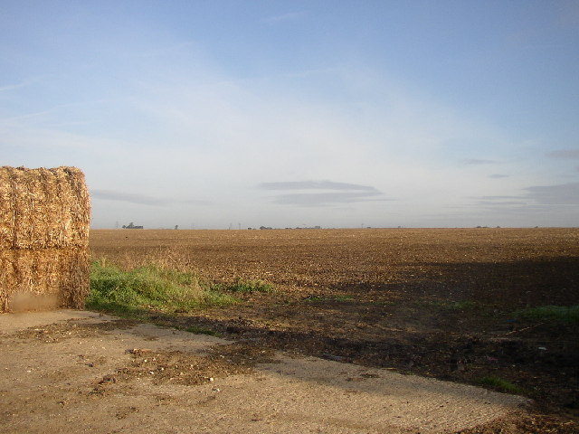
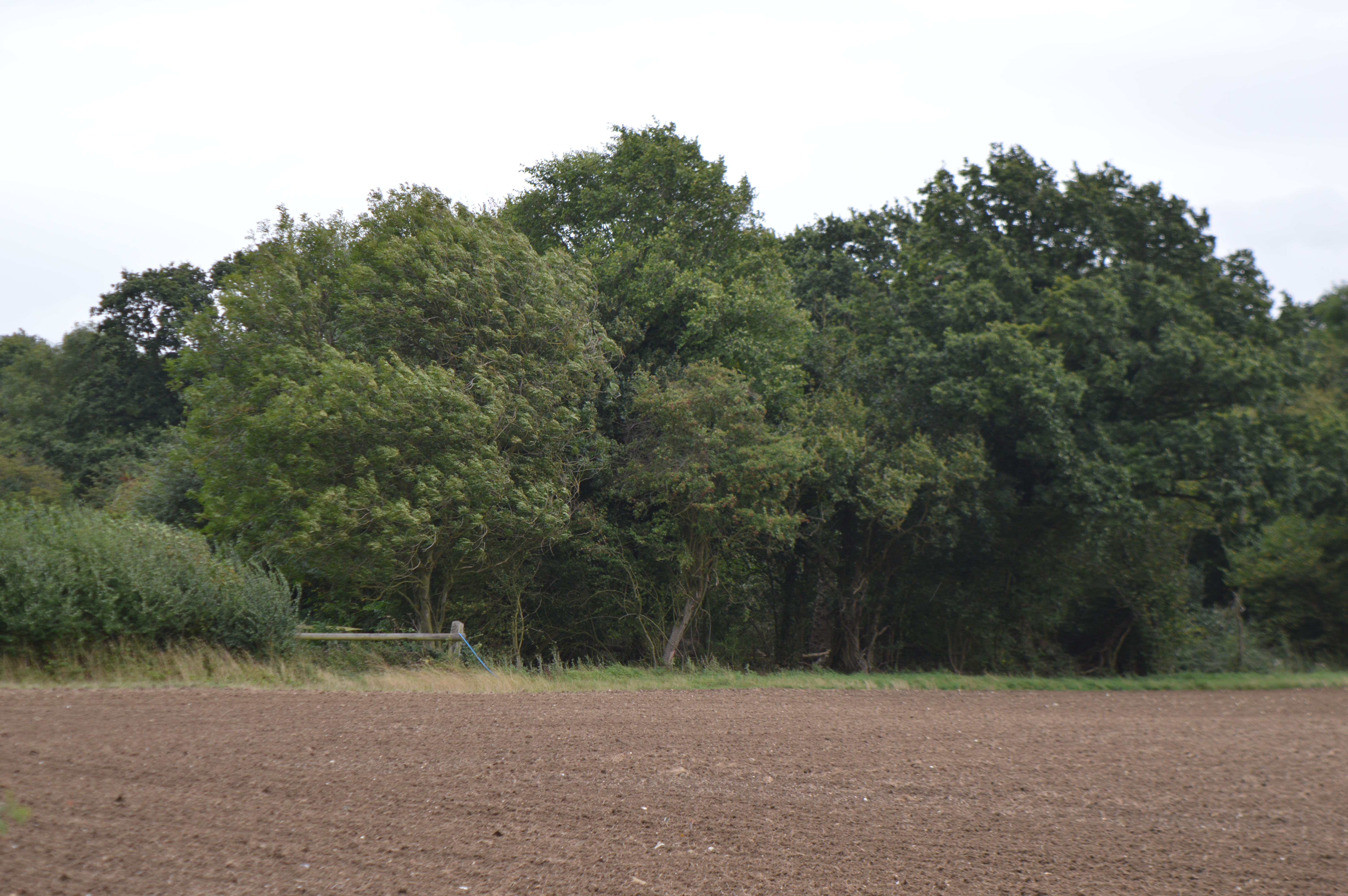
Balsham Wood is a picturesque woodland located in the county of Cambridgeshire, England. Covering an area of approximately 100 acres, it is situated near the village of Balsham, southeast of Cambridge. The woodland is a designated Site of Special Scientific Interest (SSSI) due to its rich biodiversity and historical importance.
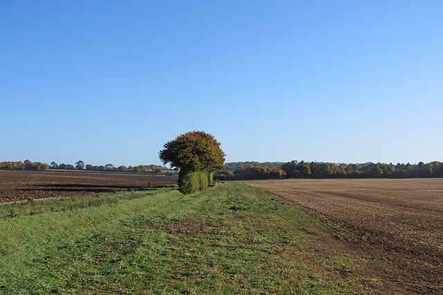
Balsham Wood consists mainly of broadleaf trees, including oak, beech, and ash, which provide a vibrant and diverse habitat for a wide range of flora and fauna. The forest floor is adorned with a carpet of bluebells and other wildflowers during the spring months, creating a stunning display of colors. The wood is also home to various bird species, such as woodpeckers, tits, and warblers, which nest and breed in the dense foliage.
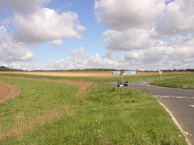
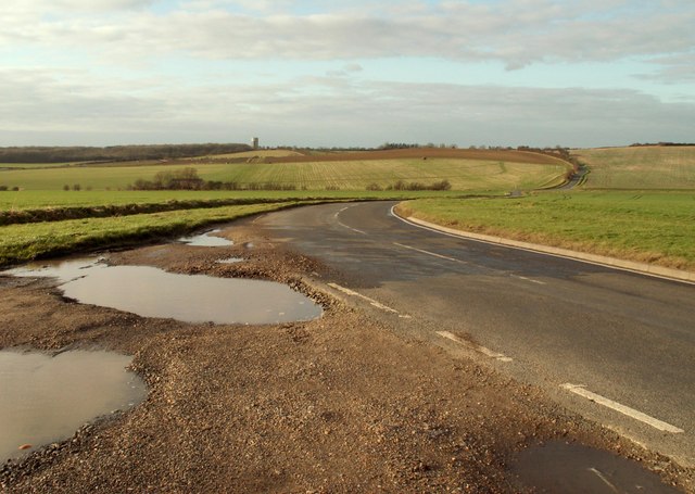
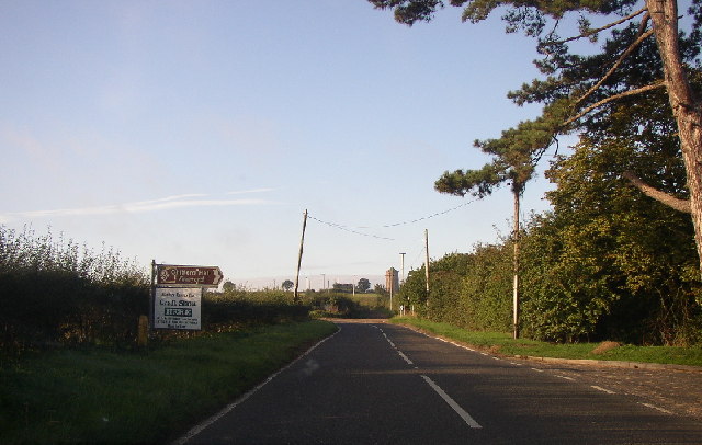
Visitors to Balsham Wood can explore the numerous walking trails that crisscross the forest, allowing them to immerse themselves in the tranquil beauty of nature. The wood offers a peaceful retreat for those seeking solitude and a chance to reconnect with the natural world. Nature lovers can also spot a variety of wildlife, including deer, foxes, and squirrels, as they roam freely in their natural habitat.
Additionally, Balsham Wood has historical significance, with remnants of ancient earthworks and ditches still visible within its boundaries. These archaeological features provide insight into human activity in the area, dating back centuries.
Overall, Balsham Wood is a cherished natural gem, offering both recreational opportunities and a glimpse into the region's ecological and historical heritage.
If you have any feedback on the listing, please let us know in the comments section below.
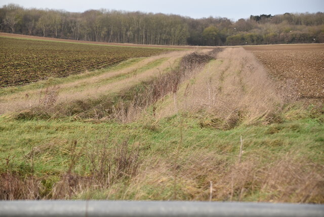
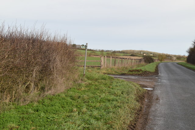
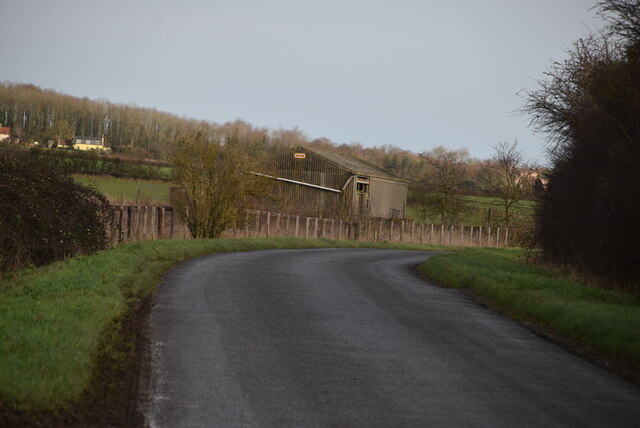
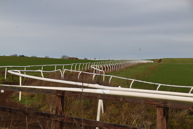
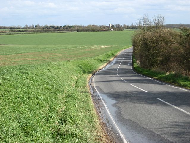
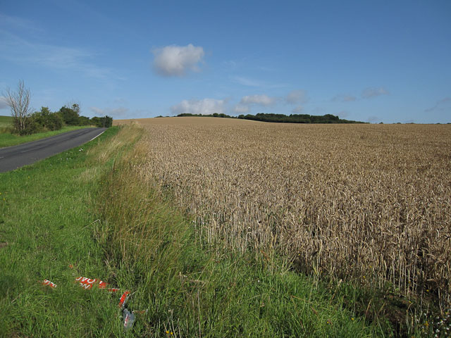
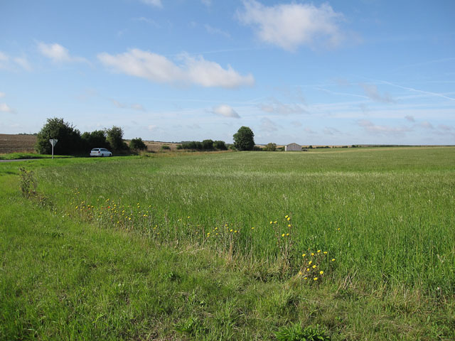
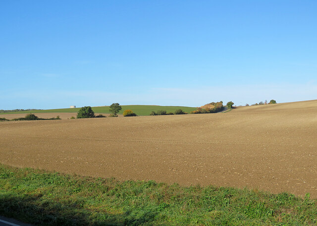
Balsham Wood Images
Images are sourced within 2km of 52.122057/0.31876336 or Grid Reference TL5849. Thanks to Geograph Open Source API. All images are credited.
Balsham Wood is located at Grid Ref: TL5849 (Lat: 52.122057, Lng: 0.31876336)
Administrative County: Cambridgeshire
District: South Cambridgeshire
Police Authority: Cambridgeshire
What 3 Words
///gangs.collision.splice. Near Balsham, Cambridgeshire
Nearby Locations
Related Wikis
Balsham Wood
Balsham Wood is a 35 hectare biological Site of Special Scientific Interest south of Balsham in Cambridgeshire.This site has one of the last surviving...
Balsham
Balsham is a rural village and civil parish in the county of Cambridgeshire, England, which has much expanded since the 1960s and is now one of several...

South East Cambridgeshire (UK Parliament constituency)
South East Cambridgeshire is a constituency represented in the House of Commons of the UK Parliament since 2015 by Lucy Frazer, a member of the Conservative...

Shug Monkey
In the folklore of Cambridgeshire, the Shug Monkey is a creature that shares features of a dog and monkey, which reportedly haunted Slough Hill Lane (a...
West Wickham, Cambridgeshire
West Wickham is a village and civil parish in South Cambridgeshire, England, 10 miles south-east of Cambridge on the border with Suffolk. == History... ==

Rivey Hill
Rivey Hill is a hill overlooking Linton in Cambridgeshire, England (grid reference TL567480). At 367 feet (112 m) it is the highest point for several miles...
Cambridgeshire Lodes
The Cambridgeshire Lodes are a series of man-made waterways, believed to be Roman in origin, located in the county of Cambridgeshire, England. Bottisham...

West Wratting
West Wratting is a village and civil parish 10 miles southeast of Cambridge in Cambridgeshire. At 390 feet (120 m) above sea level, it can claim to be...
Nearby Amenities
Located within 500m of 52.122057,0.31876336Have you been to Balsham Wood?
Leave your review of Balsham Wood below (or comments, questions and feedback).