Aston Magna

Settlement in Gloucestershire Cotswold

England

Aston Magna

Fosse Way At this point the original line of the Roman road runs across the fields towards the right from the tree. The hedge marks the line of the present Fosse Way the A429.
Fosse Way Credit: Nigel Mykura

Aston Magna is a picturesque village located in the county of Gloucestershire, England. Nestled in the heart of the Cotswolds, this charming village is renowned for its quintessential English countryside beauty and its rich history.

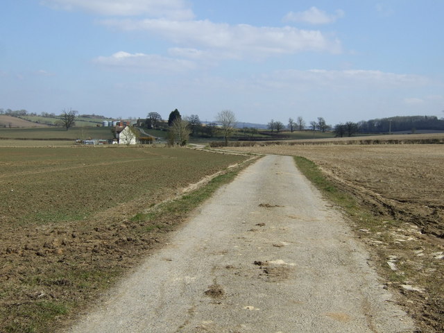
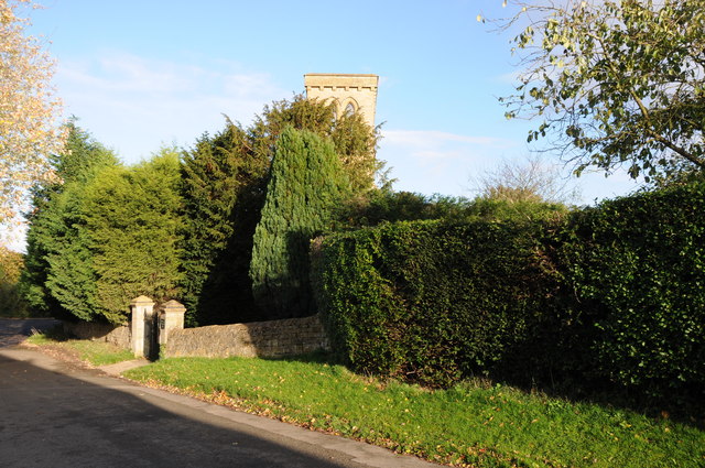
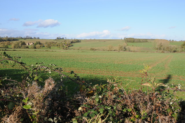
The village of Aston Magna is characterized by its traditional honey-colored Cotswold stone buildings, which lend it a unique and timeless appeal. The village is surrounded by rolling hills, lush meadows, and ancient woodlands, offering residents and visitors breathtaking views and ample opportunities for outdoor activities such as hiking, cycling, and horse riding.

The village is home to a close-knit community and boasts a range of amenities, including a village hall, a primary school, a post office, and a local pub. The pub, in particular, is a popular gathering spot for locals and visitors alike, offering a warm and friendly atmosphere and serving delicious traditional British cuisine.

History enthusiasts will find plenty to explore in Aston Magna. The village is steeped in history, with evidence of human habitation dating back to the Roman times. The Aston Magna Manor, an impressive medieval manor house, is a noteworthy historical landmark and attracts visitors with its stunning architecture and beautiful gardens.

Aston Magna also benefits from its proximity to other notable places in the Cotswolds, including the market town of Moreton-in-Marsh and the picturesque villages of Broadway and Chipping Campden. These nearby attractions offer additional amenities, shopping opportunities, and cultural events.

Overall, Aston Magna is a charming and idyllic village, offering a peaceful and picturesque setting for residents and visitors to enjoy the beauty of the Cotswolds and immerse themselves in its rich history.

If you have any feedback on the listing, please let us know in the comments section below.

Aston Magna Images

Images are sourced within 2km of 52.019611/-1.716527 or Grid Reference SP1935. Thanks to Geograph Open Source API. All images are credited.

Fosse Way At this point the original line of the Roman road runs across the fields towards the right from the tree. The hedge marks the line of the present Fosse Way the A429.
Fosse Way
At this point the original line of the Roman road runs across the fields towards the right from the tree. The hedge marks the line of the present Fosse Way the A429.
New Farm, Dorn New Farm is just north of the lane that runs from Fosse Way and the railway to Batsford Park.
New Farm, Dorn
New Farm is just north of the lane that runs from Fosse Way and the railway to Batsford Park.
Farm Buildings, New Farm
Cottage on the Fosse Way
Fosse Way (A429) heading north  Towards Warwick.
Fosse Way (A429) heading north
Towards Warwick.
Farmland, Oldborough Farm
Track to Oldborough Farm
A twisty A429 heading north  Towards Warwick.
A twisty A429 heading north
Towards Warwick.
Lay-by and damaged footpath sign, Lower Lemington The footpath on the right leads to Lower Lemington.  The lay-by has been created by straightening the A429
Lay-by and damaged footpath sign, Lower Lemington
The footpath on the right leads to Lower Lemington. The lay-by has been created by straightening the A429
A429 realignment at Aston Hale The lay-by on the left has been created by straightening the A429, Fosse Way, and raising it on a slight embankment
A429 realignment at Aston Hale
The lay-by on the left has been created by straightening the A429, Fosse Way, and raising it on a slight embankment
Former Aston Magna church No longer a church, now converted into a private residence, the hedge is so high the tower is barely visible.
Former Aston Magna church
No longer a church, now converted into a private residence, the hedge is so high the tower is barely visible.
View over the hedge This country road to the north of Aston Magna briefly enters this square hence the view to Neighbrook over the hedge.
View over the hedge
This country road to the north of Aston Magna briefly enters this square hence the view to Neighbrook over the hedge.
Long lay-by on the A429
Footpath to Oldborough Farm and Todenham
Footpath to Aston Magna
Trees by the stream
Trees by the stream
Rickety footbridge on the footpath towards the A429
Power lines over the stubble field
Show me another place!

Aston Magna is located at Grid Ref: SP1935 (Lat: 52.019611, Lng: -1.716527)

Administrative County: Gloucestershire

District: Cotswold

Police Authority: Gloucestershire

What 3 Words

///total.clouding.overpower. Near Blockley, Gloucestershire

Related Wikis

Aston Magna

Aston Magna is a hamlet located off Fosse Way in north Gloucestershire, England, between Moreton-in-Marsh and Shipston-on-Stour. It forms part of the...

Upper Ditchford

Upper Ditchford is an abandoned village to the west of the Fosse Way between Moreton-in-Marsh and Stretton on Fosse, now in the county of Gloucestershire...

Draycott, Gloucestershire

Draycott is a small hamlet in north Gloucestershire between Moreton-in-Marsh and Blockley, within Blockley civil parish. It is not mentioned in Domesday...

Blockley railway station

Blockley railway station served the village of Blockley, Gloucestershire, England from 1853 to 1966 on the Oxford, Worcester and Wolverhampton Railway...

Wellacre Quarry

Wellacre Quarry (grid reference SP180370) is a 12.3 hectare geological Site of Special Scientific Interest in Gloucestershire, notified in 1974. It is...

Lower Lemington

Lower Lemington is a small village and former civil parish, now in the parish of Batsford, in the Cotswold district of Gloucestershire, England. The village...

Dorn, Gloucestershire

Dorn is a hamlet in the Cotswold district of Gloucestershire, England. The hamlet is about 1 mile north of Moreton-in-Marsh. Dorn lies on the west side...

Batsford

Batsford is a village and civil parish in the Cotswold district of Gloucestershire, England. The village is about 1½ miles north-west of Moreton-in...

Nearby Amenities

Located within 500m of 52.019611,-1.716527
Aston Magna
Place: village
Wikidata: Q4810986
Lat/Long: 52.0199798/-1.7099552
Bus Stop
Phone Box
Bus: yes
Naptan AtcoCode: 1600GL187
Naptan Bearing: NW
Naptan CommonName: Phone Box
Naptan NaptanCode: glogjdwp
Naptan Street: Draycott Road
Naptan Verified: no
Public Transport: platform
Source: naptan_import
Lat/Long: 52.0196175/-1.7141967
Bus Stop
Phone Box
Bus: yes
Naptan AtcoCode: 1600GL188
Naptan Bearing: SE
Naptan CommonName: Phone Box
Naptan Indicator: Opp
Naptan NaptanCode: glogjdwt
Naptan Street: Draycott Road
Naptan Verified: no
Public Transport: platform
Source: naptan_import
Lat/Long: 52.0197136/-1.7140501
Railway: crossing
Lat/Long: 52.0222255/-1.7139157
Railway: crossing
Lat/Long: 52.0222517/-1.7138859
Power: pole
Source: Bing
Lat/Long: 52.0227784/-1.7132745
Power: pole
Source: Bing
Lat/Long: 52.0232669/-1.714326
Power: pole
Source: Bing
Lat/Long: 52.0223822/-1.7123894
Power: pole
Source: Bing
Lat/Long: 52.0216643/-1.7102732
Power: pole
Source: Bing
Lat/Long: 52.0237208/-1.7153211
Power: pole
Source: Bing
Lat/Long: 52.0220141/-1.7113326
Communication Gsm-r: yes
Man Made: mast
Lat/Long: 52.0221016/-1.7134434
Aston Magna North
Power: pole
Transformer: distribution
Voltage Primary: 11000
Lat/Long: 52.020749/-1.7094932
Aston Magna West
Power: pole
Transformer: distribution
Voltage Primary: 11000
Lat/Long: 52.019818/-1.7131738
Aston Magna
Power: pole
Transformer: distribution
Voltage Primary: 11000
Lat/Long: 52.0194384/-1.7120822
The data included in this document is from www.openstreetmap.org. The data is made available under ODbL.

Have you been to Aston Magna?

Leave your review of Aston Magna below (or comments, questions and feedback).