Aston Magna Coppices

Wood, Forest in Gloucestershire Cotswold

England

Aston Magna Coppices

Former Aston Magna church No longer a church, now converted into a private residence, the hedge is so high the tower is barely visible.
Former Aston Magna church Credit: Philip Halling

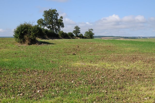
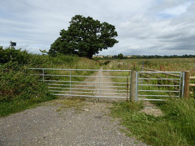
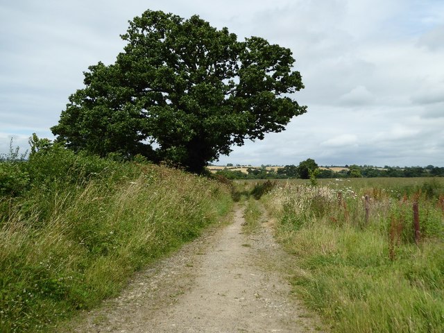
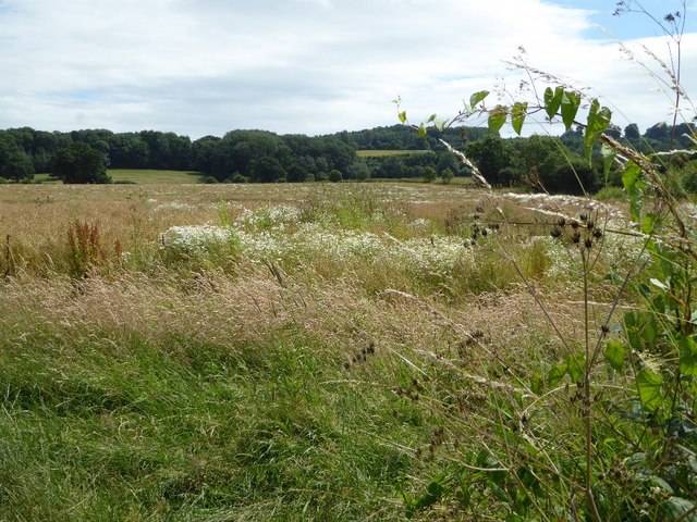
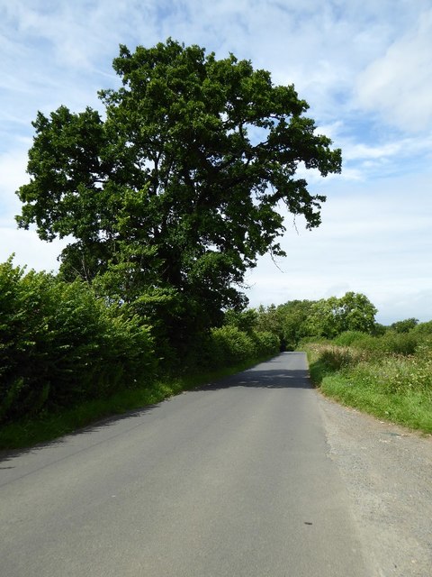
Aston Magna Coppices is a picturesque woodland located in Gloucestershire, England. Spread over an area of approximately 100 acres, it is known for its diverse range of trees and abundant wildlife. The wood is situated in the heart of the Cotswolds, an Area of Outstanding Natural Beauty, and is a popular destination for nature enthusiasts and hikers.

The coppices are predominantly made up of native broadleaf trees such as oak, ash, and beech, creating a rich and vibrant woodland ecosystem. These trees have been managed through traditional coppicing techniques, which involves periodically cutting the trees at ground level to encourage new growth and maintain a sustainable timber supply. This practice has been carried out in Aston Magna Coppices for centuries, contributing to the preservation of the woodland's unique character.

The wood is home to a diverse range of flora and fauna. Bluebells carpet the forest floor in spring, creating a stunning display of vibrant colors. Rare orchids can also be found in certain areas, adding to the botanical richness of the wood. Wildlife enthusiasts can spot a variety of animals, including deer, badgers, and a wide range of bird species.

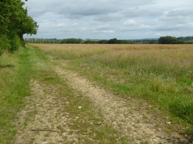
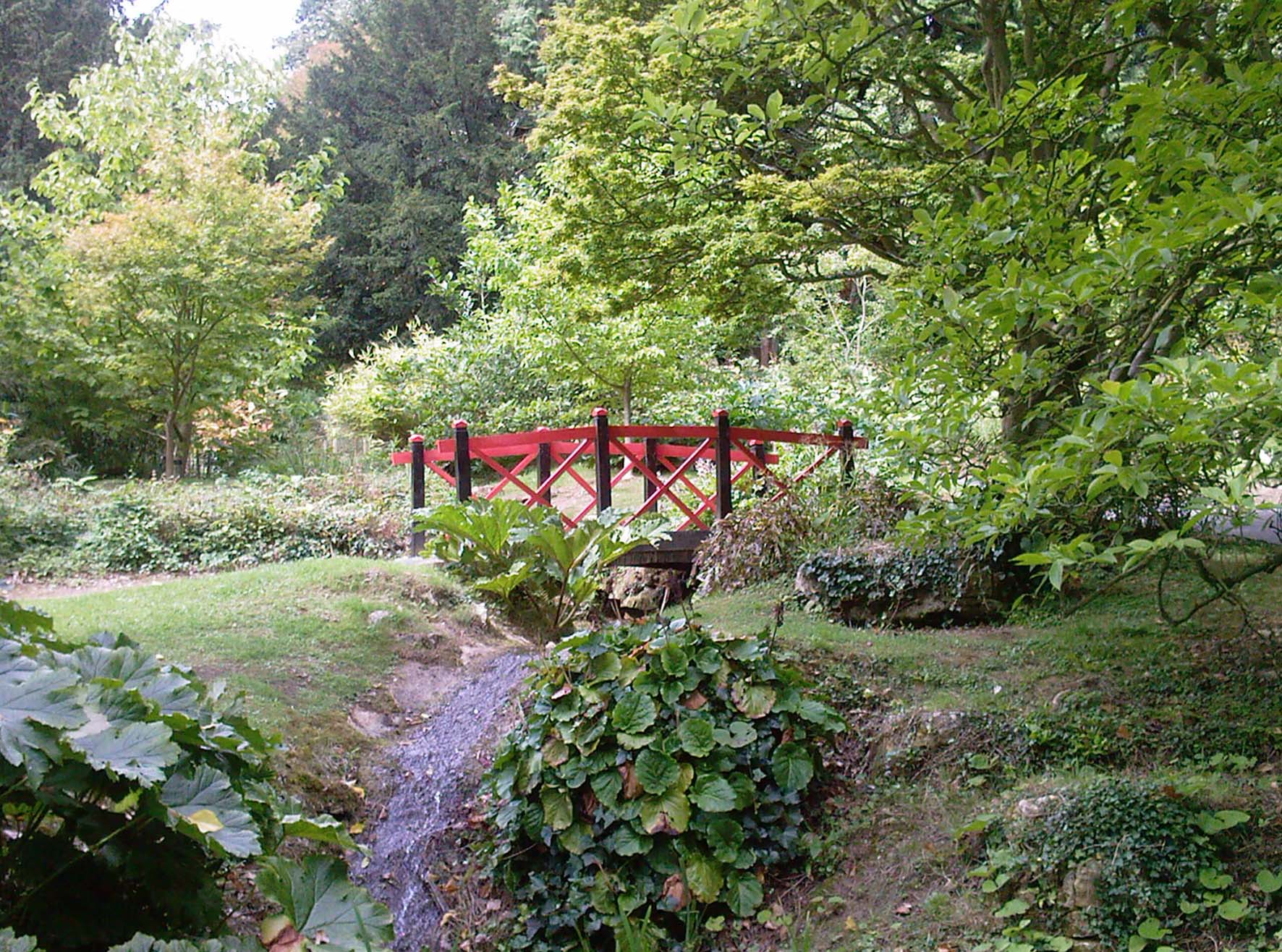
A network of well-maintained footpaths winds through Aston Magna Coppices, providing visitors with the opportunity to explore the woodland and enjoy its natural beauty. The wood is open to the public throughout the year, and there are designated picnic areas for visitors to relax and enjoy the peaceful surroundings.

Overall, Aston Magna Coppices offers a tranquil escape into nature, showcasing the beauty and biodiversity of Gloucestershire's woodlands.

If you have any feedback on the listing, please let us know in the comments section below.

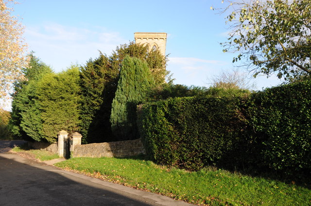
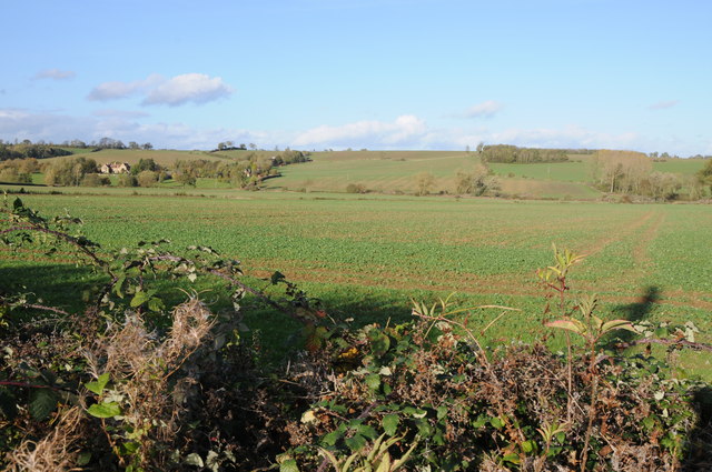
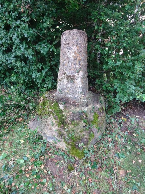
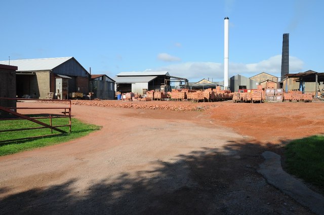
Aston Magna Coppices Images

Images are sourced within 2km of 52.021024/-1.7230972 or Grid Reference SP1935. Thanks to Geograph Open Source API. All images are credited.

Former Aston Magna church No longer a church, now converted into a private residence, the hedge is so high the tower is barely visible.
Former Aston Magna church
No longer a church, now converted into a private residence, the hedge is so high the tower is barely visible.
View over the hedge This country road to the north of Aston Magna briefly enters this square hence the view to Neighbrook over the hedge.
View over the hedge
This country road to the north of Aston Magna briefly enters this square hence the view to Neighbrook over the hedge.
Trees by the stream
Trees by the stream
Rickety footbridge on the footpath towards the A429
Power lines over the stubble field
Lane towards Knee Bridge One of the few public roads I have come across that Google Streetview hasn't reached
Lane towards Knee Bridge
One of the few public roads I have come across that Google Streetview hasn't reached
Public footpath to Todenham
Wayside Cross, Aston Magna, Blockley 15ᵗʰ C shaft and base with shaped stops on octagonal plinth. 
These crosses were placed for pilgrims to stop and pray for a safe journey, probably en route to Oxford.

Grade II listed Nᴼ 1088642 <span class="nowrap"><a title="https://historicengland.org.uk/listing/the-list/list-entry/1088642" rel="nofollow ugc noopener" href="https://historicengland.org.uk/listing/the-list/list-entry/1088642">Link</a><img style="margin-left:2px;" alt="External link" title="External link - shift click to open in new window" src="https://s1.geograph.org.uk/img/external.png" width="10" height="10"/></span>

Milestone Society National ID: GLCO_BLO
Wayside Cross, Aston Magna, Blockley
15ᵗʰ C shaft and base with shaped stops on octagonal plinth. These crosses were placed for pilgrims to stop and pray for a safe journey, probably en route to Oxford. Grade II listed Nᴼ 1088642 LinkExternal link Milestone Society National ID: GLCO_BLO
Northcot Bricks Limited The Northcot Brick works are beside the Worcester to Oxford Railway and Station Road between Blockley and Paxford,
Northcot Bricks Limited
The Northcot Brick works are beside the Worcester to Oxford Railway and Station Road between Blockley and Paxford,
Chimneys at Northcot Brick Works, Chimneys at Northcot Brick Works viewed from Station Road between Blockley and Paxford.
Chimneys at Northcot Brick Works,
Chimneys at Northcot Brick Works viewed from Station Road between Blockley and Paxford.
Remains of a hedgerow Remains of a hedgerow in arable farmland to the east of Paxford.
Remains of a hedgerow
Remains of a hedgerow in arable farmland to the east of Paxford.
Headland track near Wellacres Farm Headland track near Wellacres Farm to the north of the village of Draycott.
Headland track near Wellacres Farm
Headland track near Wellacres Farm to the north of the village of Draycott.
Entrance to Northwick Business Centre Entrance to Northwick Business Centre near the village of Draycott.
Entrance to Northwick Business Centre
Entrance to Northwick Business Centre near the village of Draycott.
Gate and track Gateway and track to farmland near the village of Draycott.  This is also the route of a bridleway.
Gate and track
Gateway and track to farmland near the village of Draycott. This is also the route of a bridleway.
Farmland track Farmland track and bridleway near Draycott.
Farmland track
Farmland track and bridleway near Draycott.
Farmland at Draycott Difficult to identify the crop being grown here in this field on the edge of the village of Drayton.
Farmland at Draycott
Difficult to identify the crop being grown here in this field on the edge of the village of Drayton.
Crossroads in Draycott
Oak tree beside the road An oak tree in the hedgerow beside a country road near Draycott.
Oak tree beside the road
An oak tree in the hedgerow beside a country road near Draycott.
Show me another place!

Aston Magna Coppices is located at Grid Ref: SP1935 (Lat: 52.021024, Lng: -1.7230972)

Administrative County: Gloucestershire

District: Cotswold

Police Authority: Gloucestershire

What 3 Words

///trader.lurching.drip. Near Blockley, Gloucestershire

Related Wikis

Aston Magna

Aston Magna is a hamlet located off Fosse Way in north Gloucestershire, England, between Moreton-in-Marsh and Shipston-on-Stour. It forms part of the...

Draycott, Gloucestershire

Draycott is a small hamlet in north Gloucestershire between Moreton-in-Marsh and Blockley, within Blockley civil parish. It is not mentioned in Domesday...

Blockley railway station

Blockley railway station served the village of Blockley, Gloucestershire, England from 1853 to 1966 on the Oxford, Worcester and Wolverhampton Railway...

Upper Ditchford

Upper Ditchford is an abandoned village to the west of the Fosse Way between Moreton-in-Marsh and Stretton on Fosse, now in the county of Gloucestershire...

Wellacre Quarry

Wellacre Quarry (grid reference SP180370) is a 12.3 hectare geological Site of Special Scientific Interest in Gloucestershire, notified in 1974. It is...

Batsford

Batsford is a village and civil parish in the Cotswold district of Gloucestershire, England. The village is about 1½ miles north-west of Moreton-in...

Batsford Arboretum

Batsford Arboretum is a 55-acre (220,000 m2) arboretum and botanical garden near Batsford in Gloucestershire, England, about 1½ miles north-west of Moreton...

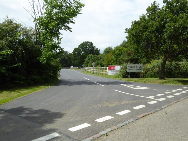
Northwick Park, Gloucestershire

Northwick Park is a residential estate and business centre near Blockley in Gloucestershire, England. The estate is built in the grounds of the former...

Have you been to Aston Magna Coppices?

Leave your review of Aston Magna Coppices below (or comments, questions and feedback).