Hill's Wood

Wood, Forest in Essex Uttlesford

England

Hill's Wood

Farmhouse at Elms Farm, Sewards End, Essex A date on the front of the house says 1696.
Farmhouse at Elms Farm, Sewards End, Essex Credit: Robert Edwards

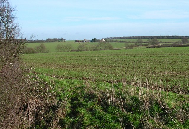
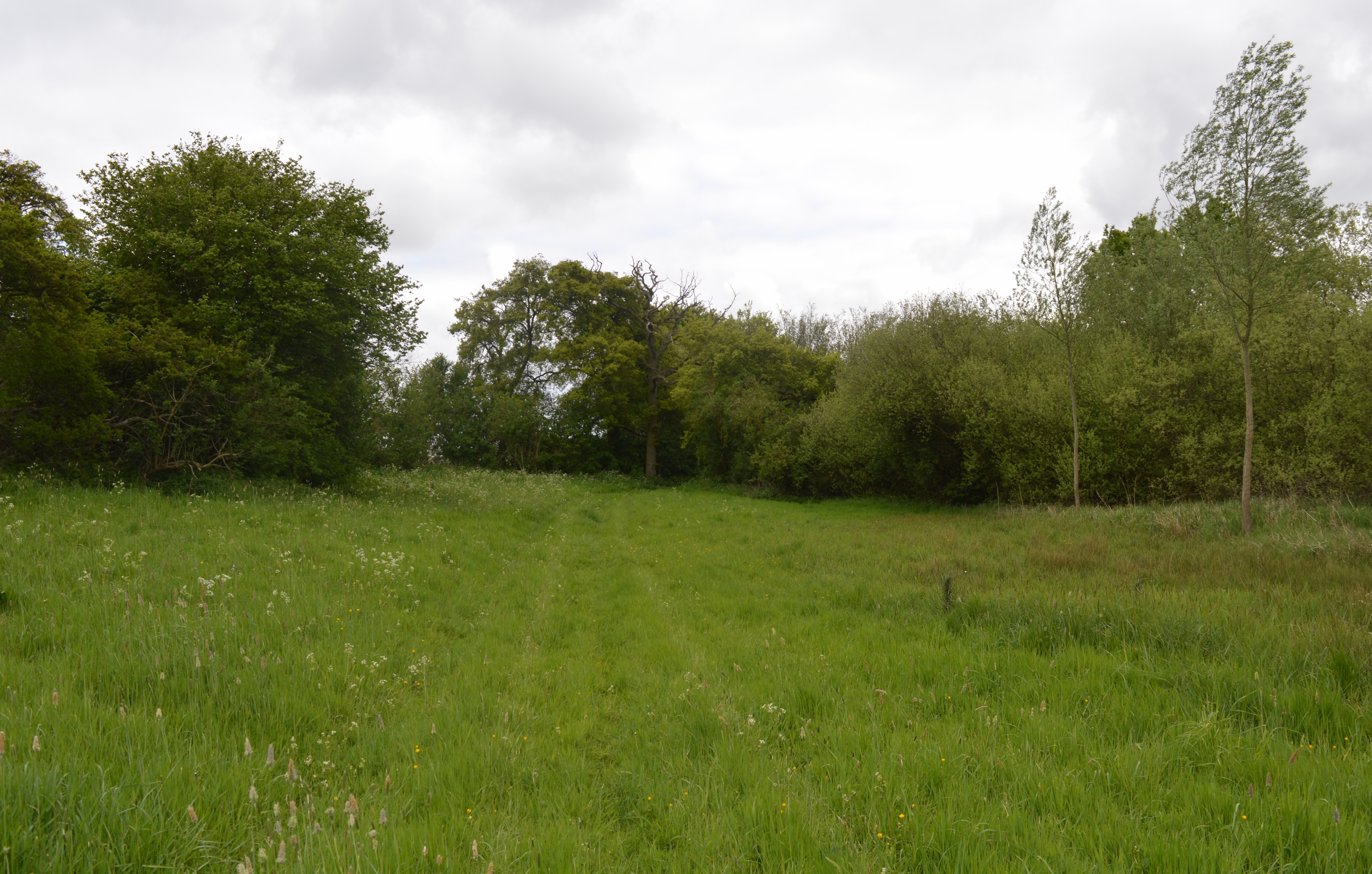
Hill's Wood, located in Essex, England, is a picturesque forest that spans over a vast area of land. This woodland is renowned for its natural beauty and rich biodiversity. It is situated on the outskirts of a small village, providing an idyllic escape from the hustle and bustle of city life.

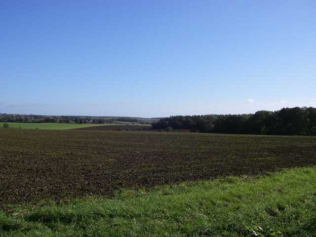
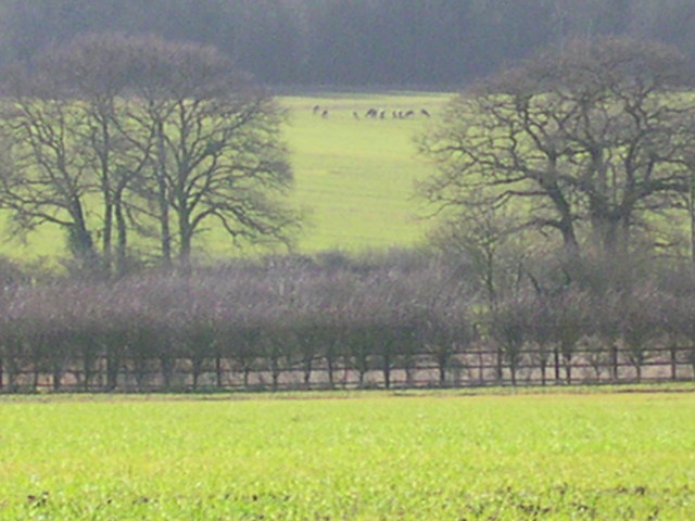
The wood boasts a diverse range of trees, including oak, beech, and birch, which create a striking canopy of foliage, especially during the autumn months. The forest floor is carpeted with a variety of wildflowers, enhancing its charm and adding to the overall tranquility of the environment.

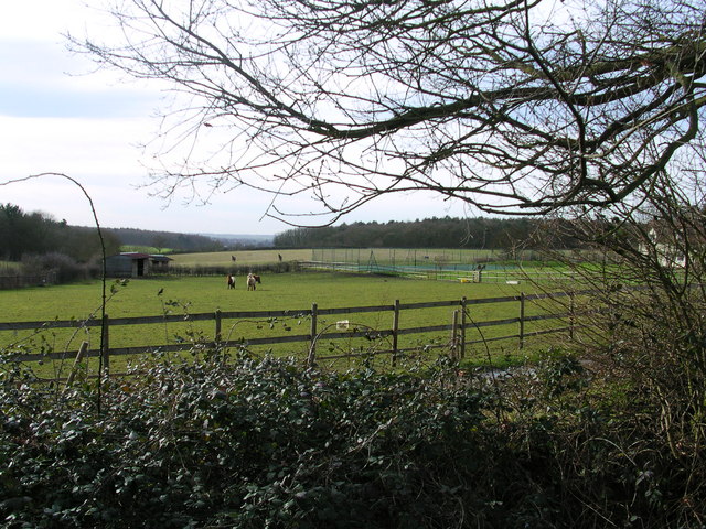
Hill's Wood is a haven for wildlife enthusiasts and nature lovers. It is home to a plethora of animal species, including deer, foxes, badgers, and a wide array of birdlife. The forest provides a vital habitat for many endangered and native species, making it an important conservation area.

Visitors to Hill's Wood can enjoy a range of recreational activities. There are well-maintained paths and trails that weave through the forest, allowing for leisurely walks and hikes. Additionally, the wood offers opportunities for birdwatching, photography, and picnicking.

The wood is surrounded by breathtaking countryside, providing breathtaking views and an opportunity to explore the natural beauty of the area. It is easily accessible by car, with ample parking facilities available for visitors.

Hill's Wood, Essex, truly offers a serene and captivating experience for all who venture into its enchanting depths. With its lush greenery, diverse wildlife, and peaceful atmosphere, it is a place that captivates the hearts and minds of all who visit.

If you have any feedback on the listing, please let us know in the comments section below.
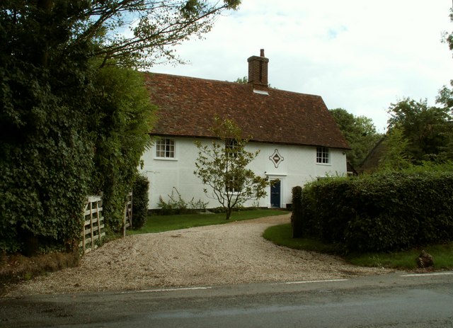
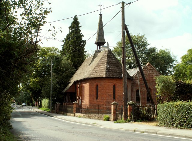
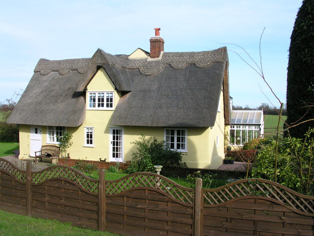
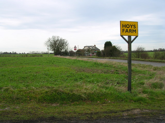
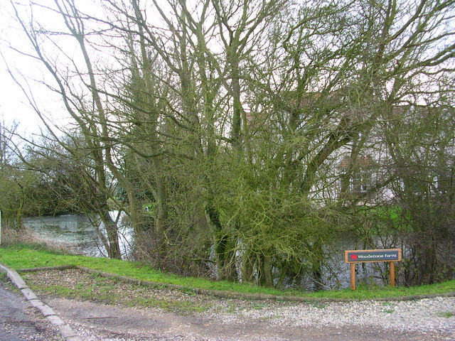
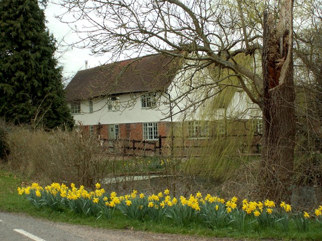
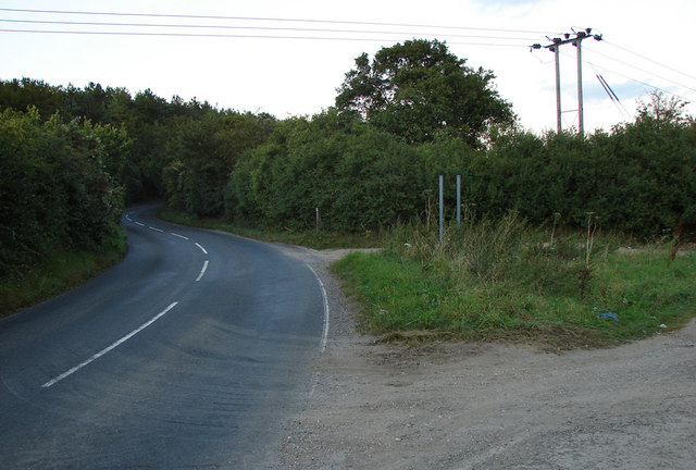
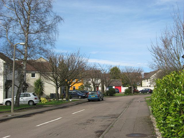
Hill's Wood Images

Images are sourced within 2km of 52.029382/0.28652821 or Grid Reference TL5639. Thanks to Geograph Open Source API. All images are credited.

Farmhouse at Elms Farm, Sewards End, Essex A date on the front of the house says 1696.
Farmhouse at Elms Farm, Sewards End, Essex
A date on the front of the house says 1696.
St. James' church, Sewards End, Essex Sewards End lies a short distance east of Saffron Walden. The road in the picture is the B.1053
St. James' church, Sewards End, Essex
Sewards End lies a short distance east of Saffron Walden. The road in the picture is the B.1053
Little Hales wood and fields - Ashdon The chalky boulder clay results in this typical mosaic of fields and woods.
Little Hales wood and fields - Ashdon
The chalky boulder clay results in this typical mosaic of fields and woods.
Oakfield Cottage Perfectly maintained.
Oakfield Cottage
Perfectly maintained.
Looking across the Harcamlow Way to Butlers Farm. Trying to sneek up on 11 deer around the corner to the right.
Looking across the Harcamlow Way to Butlers Farm.
Trying to sneek up on 11 deer around the corner to the right.
11 deer. Zooming through the haze.
11 deer.
Zooming through the haze.
Ponies at Redgate Farm B and B here.
Ponies at Redgate Farm
B and B here.
Aerial marks the trail.
Cottage Northwest of Hoys Farm driveway
Behind the woods is Woodstone Farm
Bears Hall This stands along Cole End Lane, just south of Sewards End.
Bears Hall
This stands along Cole End Lane, just south of Sewards End.
The road to Ashdon (north-east of Saffron Walden) A well used and open gated farm track joins the Ashdon road at the bottom of the hill (before the Redgate junction)
The road to Ashdon (north-east of Saffron Walden)
A well used and open gated farm track joins the Ashdon road at the bottom of the hill (before the Redgate junction)
Straw bales and crossing cables near Frogsgreen Farm
Making your house stand out in De Vigier Avenue Someone's decided to brighten up this rather drab road on the edge of Saffron Walden.

David Hallam-Jones provided the following historical context to the name of the road. It is named after Swiss-born William de Vigier, who came to London in 1935 who invented the "Acrow prop". Apparently at first the old-fashioned builders preferred the established timber props, cut to fit for each job. However, the break for Vigier's adjustable props came when they were adopted by a few large builders, including McAlpines. By 1939, over 40,000 Acrow props were in use. Vigier’s company was named the Acrow Group, after his solicitor (Mr) A Crowe. Vigour adopted this name for his props as, like Kodak, it was an easily pronounceable neologism, with the additional advantage of appearing early in alphabetical lists. The nearby Ashdon Road Commercial
Centre was formerly home to an Acrow factory.
Making your house stand out in De Vigier Avenue
Someone's decided to brighten up this rather drab road on the edge of Saffron Walden. David Hallam-Jones provided the following historical context to the name of the road. It is named after Swiss-born William de Vigier, who came to London in 1935 who invented the "Acrow prop". Apparently at first the old-fashioned builders preferred the established timber props, cut to fit for each job. However, the break for Vigier's adjustable props came when they were adopted by a few large builders, including McAlpines. By 1939, over 40,000 Acrow props were in use. Vigier’s company was named the Acrow Group, after his solicitor (Mr) A Crowe. Vigour adopted this name for his props as, like Kodak, it was an easily pronounceable neologism, with the additional advantage of appearing early in alphabetical lists. The nearby Ashdon Road Commercial Centre was formerly home to an Acrow factory.
Oil processing plant The land is fenced off with lots of hazard warning signs, and another contributor tells me this is probably processing and storing oil, perhaps for Stansted Airport.
Oil processing plant
The land is fenced off with lots of hazard warning signs, and another contributor tells me this is probably processing and storing oil, perhaps for Stansted Airport.
Road junction and St Aylotts farm entrance
Countryside view Up on the ridge, a fair amount of countryside can be seen. The ridge at the back is above Littlebury, about five miles away.
Countryside view
Up on the ridge, a fair amount of countryside can be seen. The ridge at the back is above Littlebury, about five miles away.
Houses on the descent into Ashdon A well-earned rest for cyclists like this one who have climbed the hill from Saffron Walden. Haverhill TV mast is visible on the horizon.
Houses on the descent into Ashdon
A well-earned rest for cyclists like this one who have climbed the hill from Saffron Walden. Haverhill TV mast is visible on the horizon.
Show me another place!

Hill's Wood is located at Grid Ref: TL5639 (Lat: 52.029382, Lng: 0.28652821)

Administrative County: Essex

District: Uttlesford

Police Authority: Essex

What 3 Words

///cases.newsreel.fork. Near Saffron Walden, Essex

Related Wikis

Sewards End

Sewards End is a village and civil parish in the Uttlesford district of Essex, England. Its area is 1211 acres. It is set in the rolling countryside...

Hales and Shadwell Woods

Hales and Shadwell Woods is a 15.4-hectare (38-acre) biological Site of Special Scientific Interest north-east of Saffron Walden in Essex. Shadwell Wood...

Acrow Halt railway station

Acrow Halt was a railway station on the Saffron Walden Railway. Located at the north-eastern edge of Saffron Walden, Essex, the station was close to the...

Ashdon Meadows

Ashdon Meadows is a 1.5-hectare (3.7-acre) biological Site of Special Scientific Interest south of Ashdon in Essex.The site is unimproved grassland which...

Saffron Walden Grammar School

Saffron Walden Free Grammar School (or Saffron Walden Grammar School) was a school in the Essex town of Saffron Walden, which for over four hundred years...

Ashdon Halt railway station

Ashdon Halt was a railway station on the Saffron Walden Railway. It opened 14 August 1911 and closed 7 September 1964. The halt was approximately 46 miles...
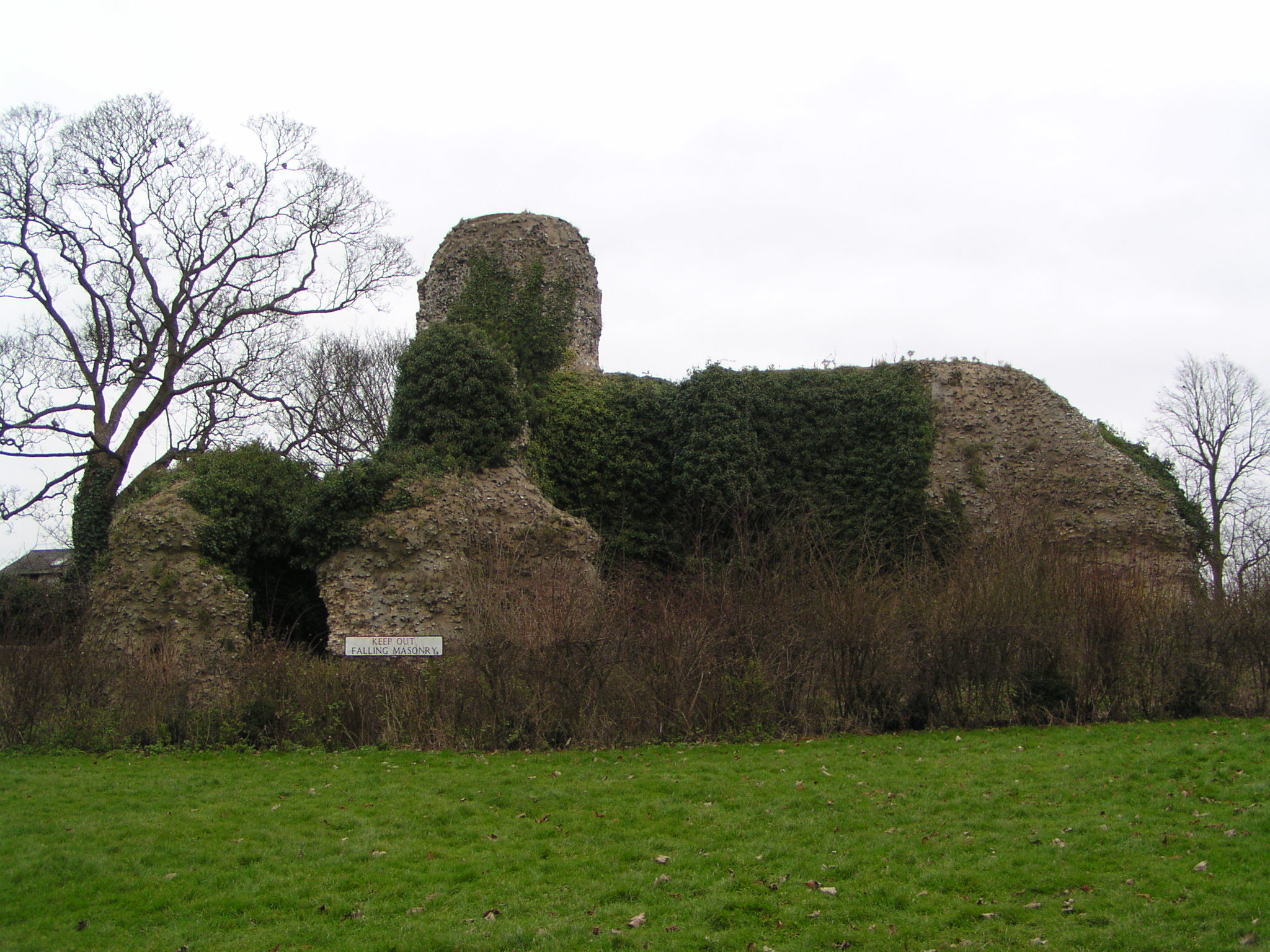
Walden Castle

Walden Castle was a medieval castle in Essex, England, built during the Anarchy of the 12th century. Only the ruined core of the structure remains today...
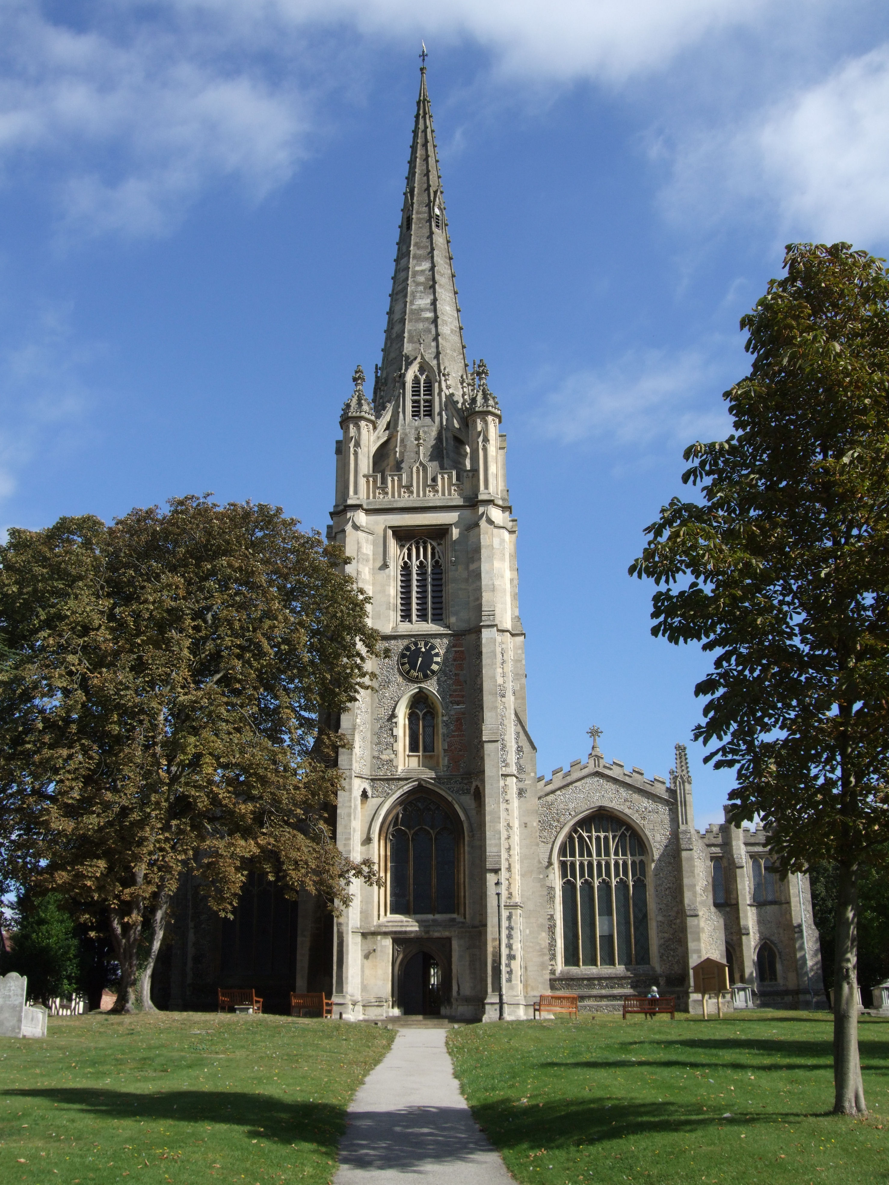
Saffron Walden

Saffron Walden is a market town in the Uttlesford district of Essex, England, 12 miles (19 km) north of Bishop's Stortford, 15 miles (24 km) south of Cambridge...

Nearby Amenities

Located within 500m of 52.029382,0.28652821
Robin's Grove
Place: locality
Lat/Long: 52.0292307/0.2817938
Access: private
Leisure: pitch
Sport: tennis
Lat/Long: 52.031318/0.282506
Sewards End Hill
Ele: 121
Natural: peak
Lat/Long: 52.0279015/0.2927386
Man Made: mast
Tower Type: communication
Lat/Long: 52.0297581/0.2907597
The data included in this document is from www.openstreetmap.org. The data is made available under ODbL.

Have you been to Hill's Wood?

Leave your review of Hill's Wood below (or comments, questions and feedback).