Distant Signal Belt

Wood, Forest in Cambridgeshire South Cambridgeshire

England

Distant Signal Belt

Ripe wheat, big sky, pylons Looking north from the byway from Great Wilbraham to Bottisham or Six Mile Bottom on a bright morning in early August. <a href="https://www.geograph.org.uk/photo/3299980">TL5658 : Power line and snowy fields</a> is a wintry view of the pylons, taken from nearer the road.
Ripe wheat, big sky, pylons Credit: John Sutton

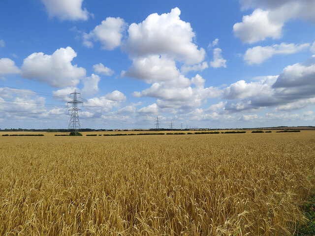
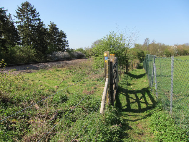
Distant Signal Belt is a picturesque woodland located in the county of Cambridgeshire, England. It is a part of the larger Forest of Cambridgeshire and covers an area of approximately 200 acres. This enchanting forest is known for its abundant wildlife, diverse flora, and tranquil atmosphere, making it a popular destination for nature enthusiasts and hikers.

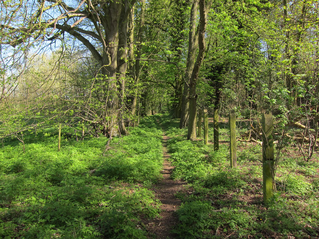
The woodland is characterized by a dense canopy of towering trees, mainly consisting of oak, birch, and beech. These majestic trees provide ample shade, creating a cool and serene ambiance throughout the forest. The forest floor is adorned with a colorful carpet of wildflowers, including bluebells, primroses, and foxgloves, which bloom vibrantly during the spring and summer months.

Distant Signal Belt is also home to a wide range of wildlife. Visitors may spot various bird species, such as woodpeckers, owls, and jays, as well as small mammals like rabbits, squirrels, and hedgehogs. The forest is also known to host roe deer and muntjac deer, adding to the beauty and natural diversity of the area.

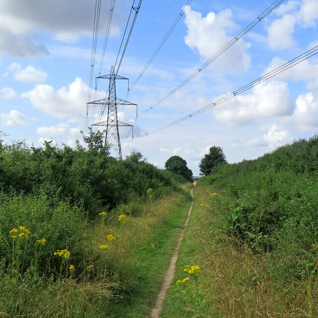
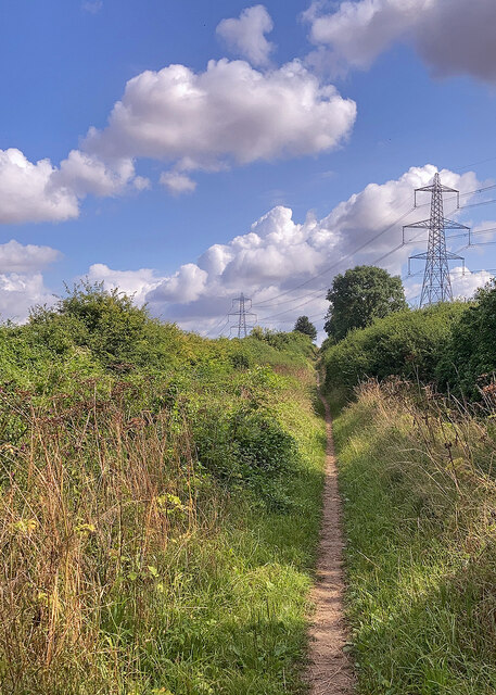
Several well-maintained trails and footpaths wind their way through the forest, allowing visitors to explore its serene beauty at their own pace. These paths provide opportunities for leisurely walks, jogging, or even cycling. Additionally, there are designated picnic areas and benches where visitors can relax and enjoy the peaceful surroundings.

Overall, Distant Signal Belt in Cambridgeshire offers a delightful escape into nature, with its verdant woodlands, abundant wildlife, and tranquil atmosphere creating an idyllic setting for outdoor enthusiasts and nature lovers alike.

If you have any feedback on the listing, please let us know in the comments section below.

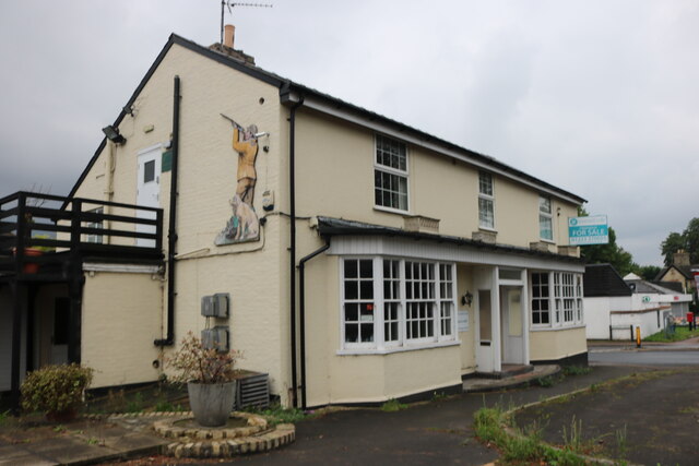
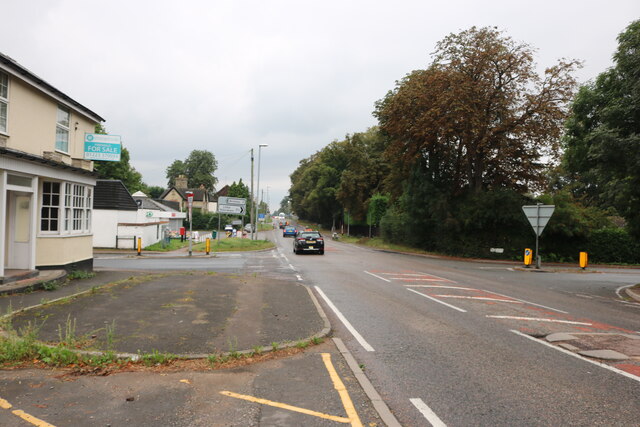
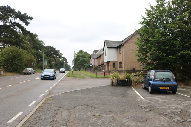
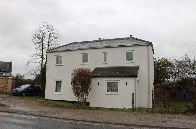
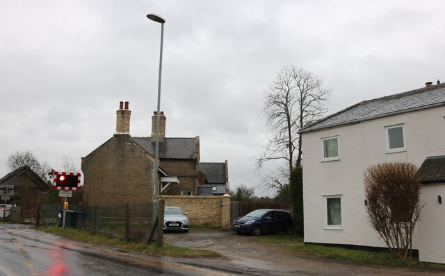
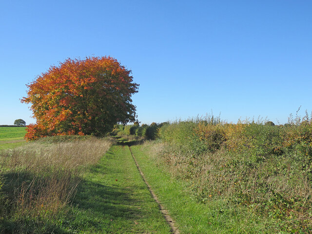
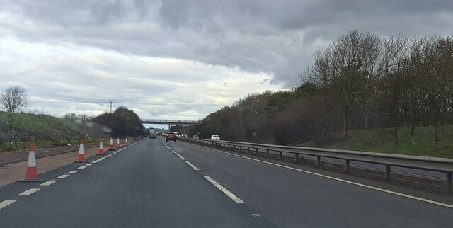
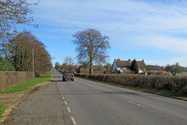
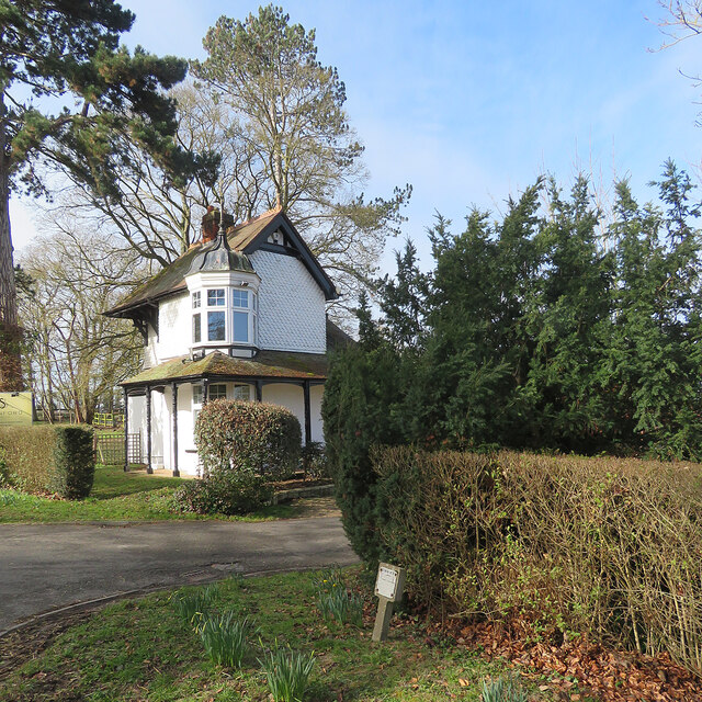
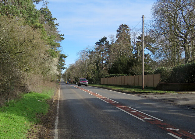
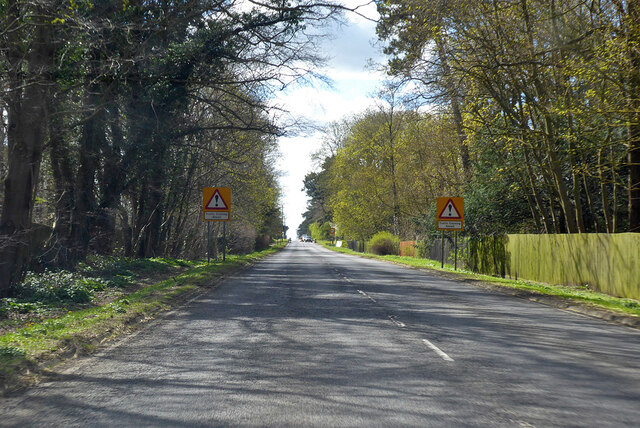
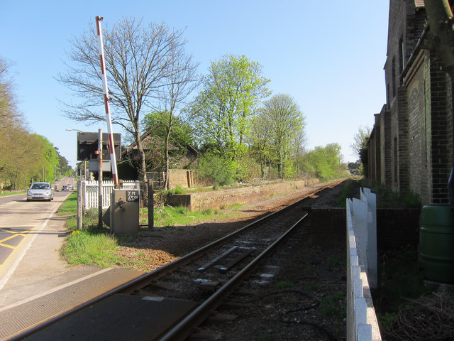
Distant Signal Belt Images

Images are sourced within 2km of 52.187023/0.29456498 or Grid Reference TL5656. Thanks to Geograph Open Source API. All images are credited.

Ripe wheat, big sky, pylons Looking north from the byway from Great Wilbraham to Bottisham or Six Mile Bottom on a bright morning in early August. <a href="https://www.geograph.org.uk/photo/3299980">TL5658 : Power line and snowy fields</a> is a wintry view of the pylons, taken from nearer the road.
Ripe wheat, big sky, pylons
Looking north from the byway from Great Wilbraham to Bottisham or Six Mile Bottom on a bright morning in early August. TL5658 : Power line and snowy fields is a wintry view of the pylons, taken from nearer the road.
Path to Great Wilbraham This track runs from Heath Road (which links Bottisham and Six Mile Bottom) to Great Wilbraham (ahead).
Path to Great Wilbraham
This track runs from Heath Road (which links Bottisham and Six Mile Bottom) to Great Wilbraham (ahead).
Path and pylons This track runs from Great Wilbraham to Heath Road (which links Bottisham and Six Mile Bottom). The picture was taken on a bright morning in early August.
Path and pylons
This track runs from Great Wilbraham to Heath Road (which links Bottisham and Six Mile Bottom). The picture was taken on a bright morning in early August.
Great Wilbraham: a pink front door Clare House, at the corner of High Street, Angle End (left) and Butt Lane (right), has been repainted since I last pointed a camera in this direction, in January 2015: <a href="https://www.geograph.org.uk/photo/4311518">TL5557 : A January morning in Great Wilbraham</a>.
Great Wilbraham: a pink front door
Clare House, at the corner of High Street, Angle End (left) and Butt Lane (right), has been repainted since I last pointed a camera in this direction, in January 2015: TL5557 : A January morning in Great Wilbraham.
Empty pub in Six Mile Bottom The old Green Man is up for sale, but will it be a pub?
Empty pub in Six Mile Bottom
The old Green Man is up for sale, but will it be a pub?
London Road, Six Mile Bottom By the closed Green Man pub.
London Road, Six Mile Bottom
By the closed Green Man pub.
London Road, Six Mile Bottom
House on London Road, Six Mile Bottom
Houses on London Road, Six Mile Bottom By the level crossing
Houses on London Road, Six Mile Bottom
By the level crossing
Nearing Great Wilbraham in October On the byway from the Six Mile Bottom road (marked on some maps as Street Way).
Nearing Great Wilbraham in October
On the byway from the Six Mile Bottom road (marked on some maps as Street Way).
A11 northbound view, approaching Heath Road bridge
On the way to Newmarket The A1304 north-east of Six Mile Bottom.
On the way to Newmarket
The A1304 north-east of Six Mile Bottom.
Six Mile Bottom: The Lodge at Swynford Manor A tile-hung Victorian lodge cottage with a delicate cupola.
Six Mile Bottom: The Lodge at Swynford Manor
A tile-hung Victorian lodge cottage with a delicate cupola.
Six Mile Bottom: London Road The A1304 is the last stretch of the journey from London to Newmarket (ahead) via the M11 and A11.
Six Mile Bottom: London Road
The A1304 is the last stretch of the journey from London to Newmarket (ahead) via the M11 and A11.
A1304 London Road entering Six Mile Bottom The former route of the A11 through Newmarket.
A1304 London Road entering Six Mile Bottom
The former route of the A11 through Newmarket.
Closed railway station, Six Mile Bottom The railway still operates (Cambridge to Ipswich line) and the platforms are still there but the station has been closed since 1967.
Closed railway station, Six Mile Bottom
The railway still operates (Cambridge to Ipswich line) and the platforms are still there but the station has been closed since 1967.
Footpath by the railway Heading towards Six Mile Bottom, with a spur path to <a href="https://www.geograph.org.uk/photo/1009054">TL5856 : St George's church</a>
Footpath by the railway
Heading towards Six Mile Bottom, with a spur path to TL5856 : St George's church
Footpath by the railway From Six Mile Bottom to Westley Bottom.
Footpath by the railway
From Six Mile Bottom to Westley Bottom.
Show me another place!

Distant Signal Belt is located at Grid Ref: TL5656 (Lat: 52.187023, Lng: 0.29456498)

Administrative County: Cambridgeshire

District: South Cambridgeshire

Police Authority: Cambridgeshire

What 3 Words

///reunion.bother.landowner. Near Bottisham, Cambridgeshire

Nearby Locations

Distant Signal Belt

Related Wikis

Six Mile Bottom railway station

Six Mile Bottom railway station is a disused railway station on the Ipswich to Cambridge line between Dullingham and Fulbourn. It served the village of...

Six Mile Bottom

Six Mile Bottom is a hamlet within the parish of Little Wilbraham, near Cambridge in England. == History == In the 1790s the only building at Six Mile...

Great Wilbraham

Great Wilbraham is a small village situated in a rural area some seven miles (11 km) to the east of Cambridge, between the edge of an area of low-lying...

Great Wilbraham Preceptory

Great Wilbraham Preceptory is a preceptory in Great and Little Wilbraham, Cambridgeshire. Much of the Church of Saint Nicholas at Great Wilbraham dates...

Little Wilbraham

Little Wilbraham is a village in Cambridgeshire, England, 6 miles (10 km) east of Cambridge between the A1303 and the A11. It is in the district of South...

Fleam Dyke

Fleam Dyke is a linear earthwork between Fulbourn and Balsham in Cambridgeshire, initiated at some timepoint between AD 330 and AD 510. It is three miles...

Great Wilbraham Common

Great Wilbraham Common is a 23.5-hectare (58-acre) biological Site of Special Scientific Interest west of Great Wilbraham in Cambridgeshire. It is managed...

RAF Bottisham

Royal Air Force Bottisham or more simply RAF Bottisham is a former Royal Air Force station located 5 miles (8 km) east of Cambridge, Cambridgeshire, England...

Nearby Amenities

Located within 500m of 52.187023,0.29456498
Material: wood
Power: pole
Lat/Long: 52.1836763/0.2978746
Power: pole
Lat/Long: 52.1865991/0.3005525
Power: pole
Lat/Long: 52.1873426/0.301384
Power: pole
Lat/Long: 52.1860429/0.3000289
Power: pole
Lat/Long: 52.185616/0.2995414
Power: pole
Lat/Long: 52.1856585/0.2997846
Turning Circle
Lat/Long: 52.1857906/0.3009369
Turning Circle
Lat/Long: 52.1849701/0.3007346
The data included in this document is from www.openstreetmap.org. The data is made available under ODbL.

Have you been to Distant Signal Belt?

Leave your review of Distant Signal Belt below (or comments, questions and feedback).