Aston Ingham

Settlement in Herefordshire

England

Aston Ingham

Daffodils and a footpath This footpath near Knappers Farm is the route of the Geopark Way.  Wild daffodils are a feature of this corner of Gloucestershire.
Daffodils and a footpath Credit: Philip Halling

The requested URL returned error: 429 Too Many Requests

If you have any feedback on the listing, please let us know in the comments section below.
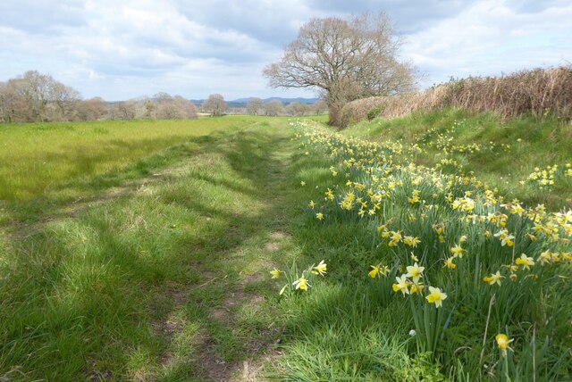
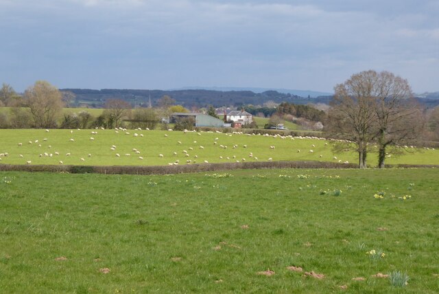
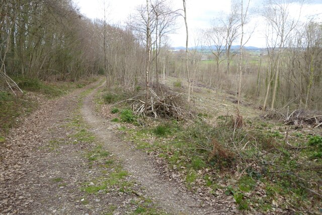
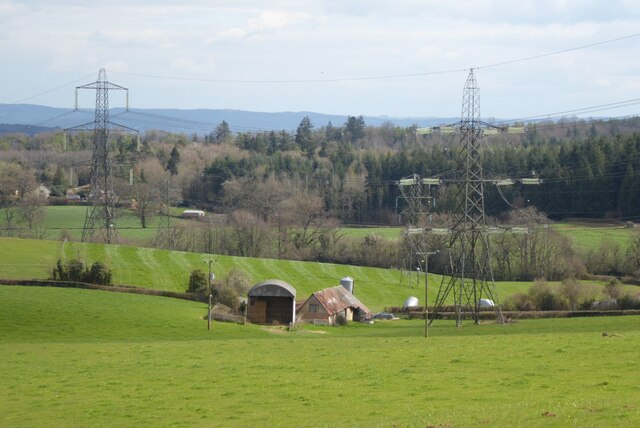
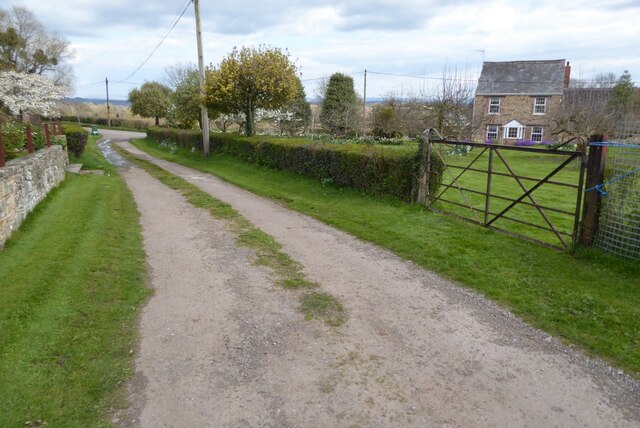
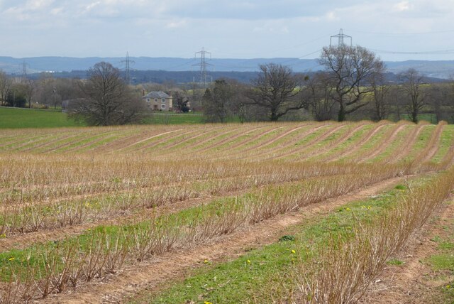
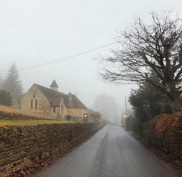
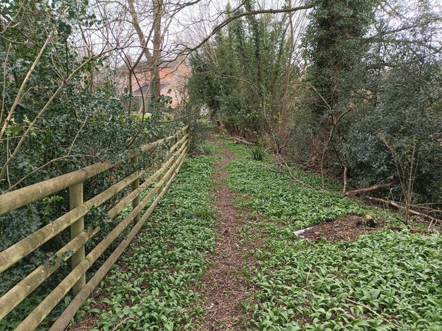
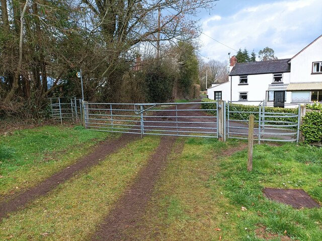
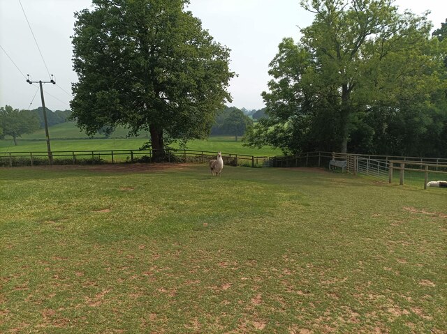
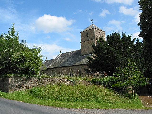
Aston Ingham Images

Images are sourced within 2km of 51.910578/-2.4586744 or Grid Reference SO6823. Thanks to Geograph Open Source API. All images are credited.

Daffodils and a footpath This footpath near Knappers Farm is the route of the Geopark Way.  Wild daffodils are a feature of this corner of Gloucestershire.
Daffodils and a footpath
This footpath near Knappers Farm is the route of the Geopark Way. Wild daffodils are a feature of this corner of Gloucestershire.
Farmland around Knappers Farm View to the north-east from the Geopark Way where it enters Acorn Wood.  Sheep graze a field in the middle distance with Knappers Farm beyond.  The spire of Newent Church can be seen to the left of centre.
Farmland around Knappers Farm
View to the north-east from the Geopark Way where it enters Acorn Wood. Sheep graze a field in the middle distance with Knappers Farm beyond. The spire of Newent Church can be seen to the left of centre.
Footpath through Acorn Word The Geopark Way follows this footpath through Acorn Wood to the south of Newent.  Here the wood is partially felled.
Footpath through Acorn Word
The Geopark Way follows this footpath through Acorn Wood to the south of Newent. Here the wood is partially felled.
Farm buildings Farm buildings and electricity pylons near Clifford Mesne.
Farm buildings
Farm buildings and electricity pylons near Clifford Mesne.
Footpath and track Footpath and track near Clifford's Mesne.
Footpath and track
Footpath and track near Clifford's Mesne.
Farmland near Clifford's Mesne I am not sure what the bushes are in this field, possibly currents.
Farmland near Clifford's Mesne
I am not sure what the bushes are in this field, possibly currents.
St Peter's Church - Clifford's Mesne
Path in Clifford's Mesne A small footpath on the edge of Newent woods, leading into the village of Clifford's Mesne
Path in Clifford's Mesne
A small footpath on the edge of Newent woods, leading into the village of Clifford's Mesne
Two kissing gates A pair of kissing gates, one on either end of a larger gate.
Two kissing gates
A pair of kissing gates, one on either end of a larger gate.
Path through Acorn Wood A footpath leading north through Acorn Wood.
Path through Acorn Wood
A footpath leading north through Acorn Wood.
Llama in field A llama in a field belonging to Briery Hill Llamas, a llama trekking company.
Llama in field
A llama in a field belonging to Briery Hill Llamas, a llama trekking company.
Church of St Peter, Clifford's Mesne
Path junction or fork A fork in the grassed path. The path looks quiet but shows evidence of joggers / runners, horse riders, walkers and dog walkers.
Path junction or fork
A fork in the grassed path. The path looks quiet but shows evidence of joggers / runners, horse riders, walkers and dog walkers.
View through the orchard to a property What a nice setting and seasonal scene.
View through the orchard to a property
What a nice setting and seasonal scene.
View towards Manor House Farm, Clifford's Mesne
Track by St. Peter's church Clifford's Mesne has a dense network of paths and tracks.
Track by St. Peter's church
Clifford's Mesne has a dense network of paths and tracks.
Farmhouse, Clifford's Mesne Like many of the older properties around here, this has a stone basement and brick upper stories.
Farmhouse, Clifford's Mesne
Like many of the older properties around here, this has a stone basement and brick upper stories.
Along road to church at Clifford's Mesne Church is dedicated to St Peter.
Along road to church at Clifford's Mesne
Church is dedicated to St Peter.
Show me another place!

Aston Ingham is located at Grid Ref: SO6823 (Lat: 51.910578, Lng: -2.4586744)

Unitary Authority: County of Herefordshire

Police Authority: West Mercia

What 3 Words

///nesting.reputable.mime. Near Linton, Herefordshire

Nearby Locations

Aston Ingham Aston Ingham

Related Wikis

Aston Ingham

Aston Ingham is a village in south-eastern Herefordshire, England, near Newent and about 7 miles (11 km) east of Ross-on-Wye. The population of the village...

Beavan's Hill

Beavan's Hill is a village in south east Herefordshire, England. The village is situated on the edge of Withymoor Wood, an area of ancient woodland, and...

Gorsley and Kilcot

Gorsley and Kilcot is a civil parish forming part of the district of the Forest of Dean in the English county of Gloucestershire. The single parish of...

Luxley

Luxley is a village in the southwest Midlands of England, on the border between Gloucestershire and Herefordshire near May Hill. Luxley is 12 km (7.5 mi...

Nearby Amenities

Located within 500m of 51.910578,-2.4586744
Aston Ingham
Created By: Potlatch 0.10f
Is In: Herefordshire
Place: village
Source: NPE
Wikidata: Q3784503
Lat/Long: 51.9105612/-2.4604915
Bus Stop
Village Hall
Naptan AtcoCode: 2090A123300
Naptan Bearing: NE
Naptan BusStopType: CUS
Naptan CommonName: Village Hall
Naptan Indicator: opp
Naptan Landmark: Village Hall
Naptan NaptanCode: heradtpd
Naptan Street: B4222
Naptan Verified: no
Source: naptan_import
Lat/Long: 51.9102458/-2.459719
Bus Stop
Village Hall
Naptan AtcoCode: 2090A19021
Naptan Bearing: SW
Naptan BusStopType: CUS
Naptan CommonName: Village Hall
Naptan Indicator: adj
Naptan Landmark: Village Hall
Naptan NaptanCode: herajmtw
Naptan Street: B4222
Naptan Verified: no
Source: naptan_import
Lat/Long: 51.9101444/-2.4596477
Post Box
Post Box Type: lamp
Ref: HR9 504
Royal Cypher: EIIR
Royal Cypher Wikidata: Q33102113
Lat/Long: 51.9100978/-2.4598244
Generator Method: photovoltaic
Generator Output Electricity: yes
Generator Source: solar
Generator Type: solar_photovoltaic_panel
Location: roof
Power: generator
Lat/Long: 51.9109235/-2.4591243
Generator Output Electricity: yes
Generator Source: solar
Location: roof
Power: generator
Lat/Long: 51.9094393/-2.4614364
Generator Output Electricity: yes
Generator Source: solar
Location: roof
Power: generator
Lat/Long: 51.9112462/-2.4560183
Generator Output Electricity: yes
Generator Source: solar
Location: roof
Power: generator
Lat/Long: 51.9107498/-2.4572012
Generator Output Electricity: yes
Generator Source: solar
Location: roof
Power: generator
Lat/Long: 51.9103295/-2.4596956
Generator Output Electricity: yes
Generator Source: solar
Location: roof
Power: generator
Lat/Long: 51.9097239/-2.4607551
Location Transition: yes
Power: pole
Lat/Long: 51.9081259/-2.4629994
Location Transition: yes
Power: pole
Lat/Long: 51.9084709/-2.4616288
Location Transition: yes
Power: pole
Lat/Long: 51.9082793/-2.4606907
Power: pole
Lat/Long: 51.9086759/-2.4599816
Power: pole
Lat/Long: 51.9093264/-2.4588219
Aston Ingham West
Power: transformer
Transformer: distribution
Voltage Primary: 11000
Lat/Long: 51.9100635/-2.4606485
Location Transition: yes
Power: pole
Lat/Long: 51.9099289/-2.4595964
Power: pole
Lat/Long: 51.9096072/-2.4592263
Power: pole
Lat/Long: 51.9093355/-2.4587565
Power: pole
Lat/Long: 51.9094281/-2.4582399
Power: pole
Lat/Long: 51.9095725/-2.4573568
Power: pole
Lat/Long: 51.90968/-2.4566507
Power: pole
Lat/Long: 51.9098207/-2.45585
Aston Court Farm
Power: pole
Transformer: distribution
Voltage Primary: 11000
Lat/Long: 51.9128966/-2.4622491
Power: pole
Lat/Long: 51.9126749/-2.4614733
Power: pole
Lat/Long: 51.912418/-2.4605942
Power: pole
Lat/Long: 51.9120519/-2.4593382
Power: pole
Lat/Long: 51.9117032/-2.45814
Power: pole
Lat/Long: 51.9114646/-2.457511
Aston Ingham North
Power: pole
Transformer: distribution
Voltage Primary: 11000
Lat/Long: 51.9116408/-2.4542092
Power: pole
Lat/Long: 51.9111212/-2.4545471
Aston Ingham
Power: pole
Transformer: distribution
Voltage Primary: 11000
Lat/Long: 51.9111899/-2.4567848
Power: pole
Lat/Long: 51.9108805/-2.4561893
Power: pole
Lat/Long: 51.9105793/-2.4556026
Power: pole
Lat/Long: 51.9104933/-2.4549522
Power: pole
Lat/Long: 51.9099295/-2.4552096
Goldcliff
Power: pole
Transformer: distribution
Voltage Primary: 11000
Lat/Long: 51.9091737/-2.4547496
Power: pole
Lat/Long: 51.9088548/-2.4535447
Power: pole
Lat/Long: 51.9085499/-2.4524041
The data included in this document is from www.openstreetmap.org. The data is made available under ODbL.

Have you been to Aston Ingham?

Leave your review of Aston Ingham below (or comments, questions and feedback).