Clearhedge Wood
Wood, Forest in Sussex Wealden
England
Clearhedge Wood

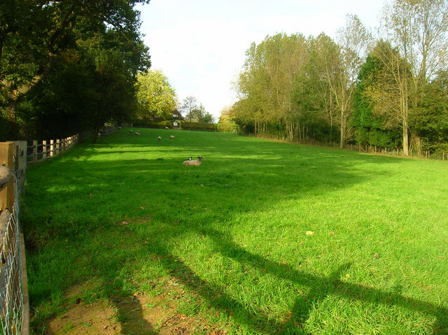
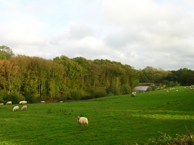
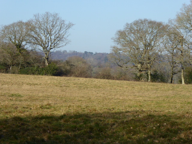
Clearhedge Wood is a picturesque forest located in the county of Sussex, England. Covering an area of approximately 100 acres, it is renowned for its natural beauty and diverse array of flora and fauna. The wood is situated just a few miles away from the village of Clearhedge, after which it is named.
The forest is predominantly made up of deciduous trees, including oak, beech, and birch, which create a stunning canopy during the summer months. The woodland floor is carpeted with a variety of wildflowers, such as bluebells, primroses, and wood anemones, adding bursts of color to the landscape.
Clearhedge Wood is a haven for wildlife, providing a habitat for numerous species. Birdwatchers can spot a variety of birds, including woodpeckers, owls, and various songbirds. The forest is also home to mammals such as deer, foxes, and badgers, making it an ideal location for nature enthusiasts and photographers.
The wood features several well-maintained walking trails, allowing visitors to explore its enchanting beauty. These paths wind through ancient woodland, crossing over small streams and offering breathtaking views of the surrounding countryside. During the autumn season, the forest is particularly captivating as the leaves change color, creating a mesmerizing display of gold, red, and orange hues.
Clearhedge Wood offers a peaceful retreat from the hustle and bustle of everyday life, providing visitors with a tranquil atmosphere to reconnect with nature. Whether it's a leisurely stroll, birdwatching, or simply taking in the scenic views, this woodland gem is a must-visit destination for nature lovers and those seeking solace in the beauty of the natural world.
If you have any feedback on the listing, please let us know in the comments section below.
Clearhedge Wood Images
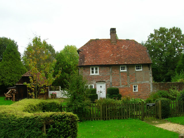
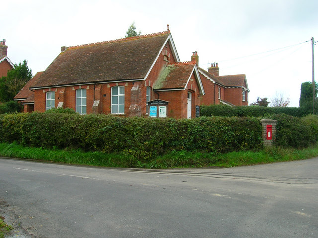
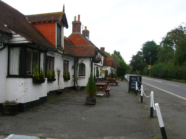
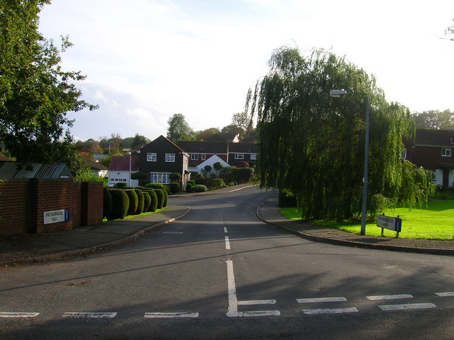
Images are sourced within 2km of 50.929319/0.23077249 or Grid Reference TQ5616. Thanks to Geograph Open Source API. All images are credited.


Clearhedge Wood is located at Grid Ref: TQ5616 (Lat: 50.929319, Lng: 0.23077249)
Administrative County: East Sussex
District: Wealden
Police Authority: Sussex
What 3 Words
///latched.mulled.remainder. Near Horam, East Sussex
Nearby Locations
Related Wikis

Horam
Horam is a village, electoral ward and civil parish in the Wealden District of East Sussex, situated three miles (4.8 km) south of Heathfield. Included...
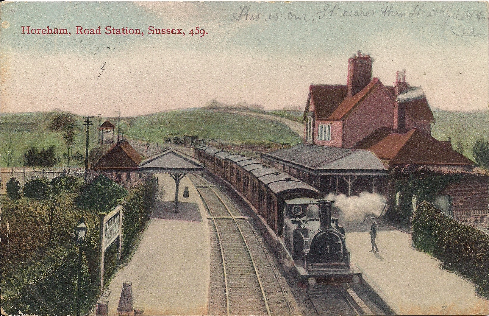
Horam railway station
Horam railway station was on the Cuckoo Line between Hellingly and Heathfield, serving the village of Horam. == History == The station was opened by the...

Gun Hill, East Sussex
Gun Hill is a hamlet in the civil parish of Chiddingly in the Wealden district of East Sussex, England. It is one of the seven hills of the parish in which...

Maynard's Green
Maynard's Green is a village in the Wealden district of East Sussex. == External links == Maynards Green Community Primary School

Waldron Cutting
Waldron Cutting is a 0.2-hectare (0.49-acre) geological Site of Special Scientific Interest in East Sussex. It is a Geological Conservation Review site...
Sapperton Meadows
Sapperton Meadows is a 14.7-hectare (36-acre) biological Site of Special Scientific Interest south of Heathfield in East Sussex.These poorly drained hay...
Chiddingly
Chiddingly ( CHID-ing-lye) is an English village and civil parish in the Wealden District of the administrative county of East Sussex, within historic...

Farleys House
Farleys House near Chiddingly, East Sussex, has been converted into a museum and archive featuring the lives and work of its former residents, the photographer...
Nearby Amenities
Located within 500m of 50.929319,0.23077249Have you been to Clearhedge Wood?
Leave your review of Clearhedge Wood below (or comments, questions and feedback).