East Knowle Wood
Wood, Forest in Sussex Wealden
England
East Knowle Wood

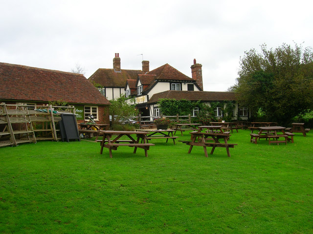
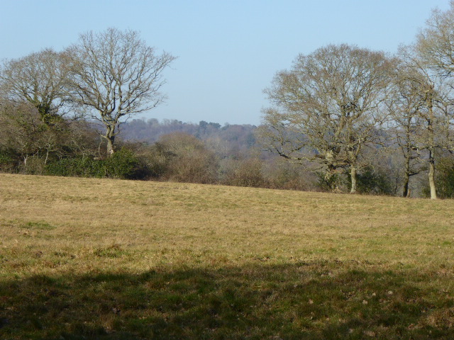
East Knowle Wood is a picturesque woodland located in the county of Sussex, England. Covering an area of approximately 200 acres, it is a part of the South Downs National Park, which is known for its diverse range of flora and fauna. The wood is situated near the village of East Dean, about 10 miles northeast of the coastal city of Brighton.
The wood is predominantly composed of deciduous trees, including oak, beech, and ash, creating a lush and vibrant canopy that changes with the seasons. This variety of tree species provides a suitable habitat for a wide range of wildlife, including deer, foxes, badgers, and numerous bird species. It is not uncommon to spot woodpeckers, owls, and various songbirds while exploring the wood.
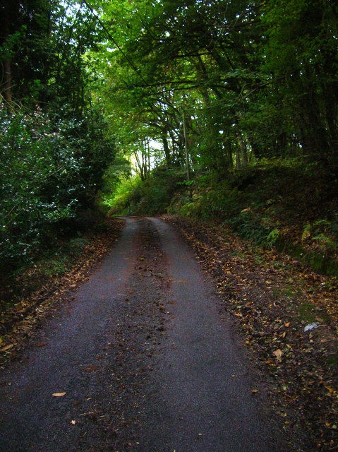
East Knowle Wood is crisscrossed by a network of well-maintained footpaths, making it an ideal destination for hikers, nature enthusiasts, and dog walkers. These paths wind through the wood, offering visitors the opportunity to immerse themselves in the natural beauty of the surroundings. The wood also features a small stream that meanders through the landscape, adding to its charm.
The wood has a rich history, with evidence of human habitation dating back to the Stone Age. Archaeological finds, including flint tools and pottery fragments, have been discovered in the area. Today, East Knowle Wood is managed by the South Downs National Park Authority, ensuring its preservation for future generations to enjoy. Whether visiting for a peaceful stroll, birdwatching, or simply to escape the hustle and bustle of city life, East Knowle Wood offers a tranquil and idyllic retreat in the heart of Sussex.
If you have any feedback on the listing, please let us know in the comments section below.
East Knowle Wood Images
Images are sourced within 2km of 50.924873/0.22575004 or Grid Reference TQ5616. Thanks to Geograph Open Source API. All images are credited.


East Knowle Wood is located at Grid Ref: TQ5616 (Lat: 50.924873, Lng: 0.22575004)
Administrative County: East Sussex
District: Wealden
Police Authority: Sussex
What 3 Words
///coverage.pesky.boot. Near Horam, East Sussex
Nearby Locations
Related Wikis

Horam
Horam is a village, electoral ward and civil parish in the Wealden District of East Sussex, situated three miles (4.8 km) south of Heathfield. Included...

Gun Hill, East Sussex
Gun Hill is a hamlet in the civil parish of Chiddingly in the Wealden district of East Sussex, England. It is one of the seven hills of the parish in which...
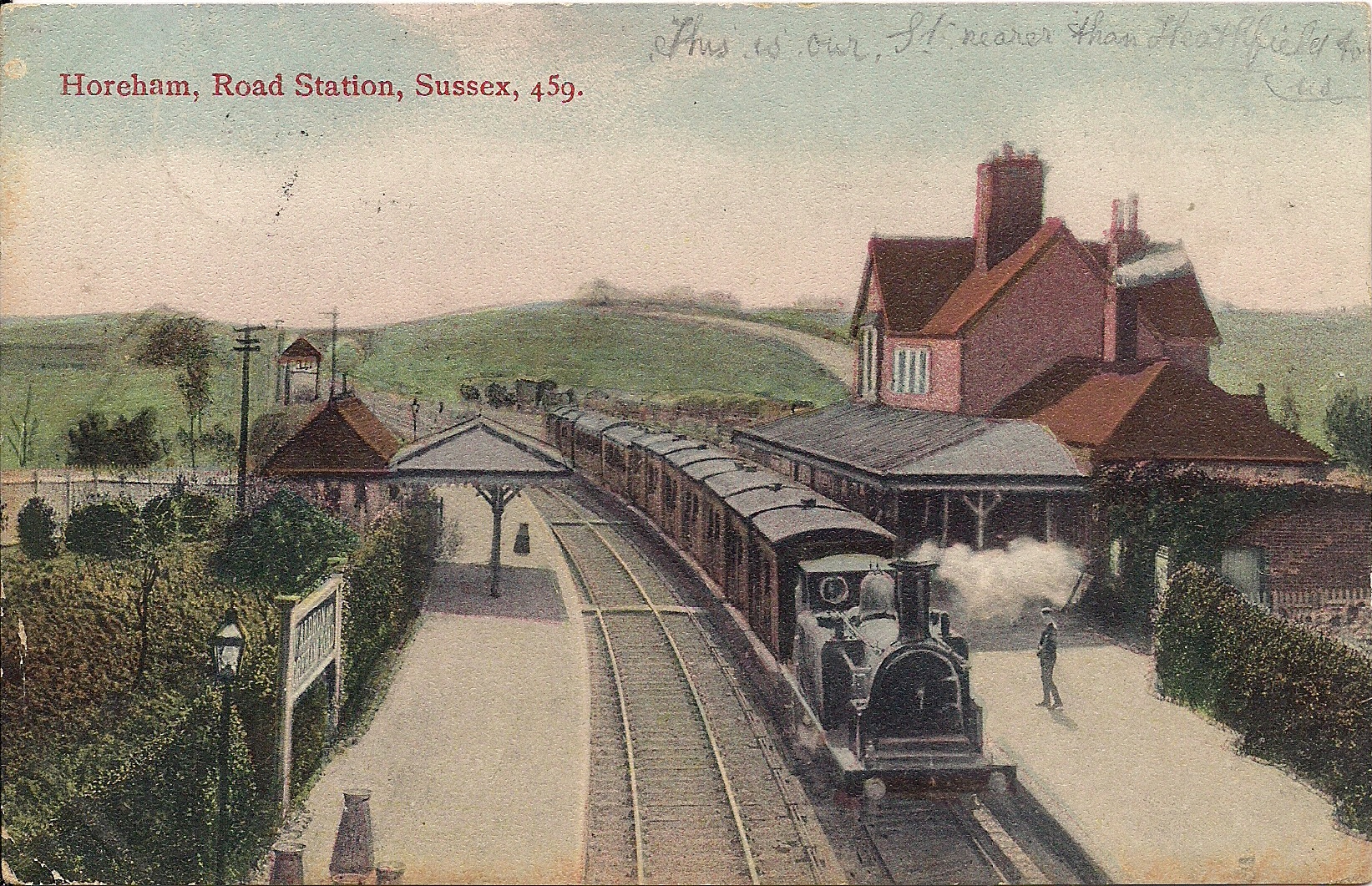
Horam railway station
Horam railway station was on the Cuckoo Line between Hellingly and Heathfield, serving the village of Horam. == History == The station was opened by the...

Waldron Cutting
Waldron Cutting is a 0.2-hectare (0.49-acre) geological Site of Special Scientific Interest in East Sussex. It is a Geological Conservation Review site...

Maynard's Green
Maynard's Green is a village in the Wealden district of East Sussex. == External links == Maynards Green Community Primary School
Chiddingly
Chiddingly ( CHID-ing-lye) is an English village and civil parish in the Wealden District of the administrative county of East Sussex, within historic...

Farleys House
Farleys House near Chiddingly, East Sussex, has been converted into a museum and archive featuring the lives and work of its former residents, the photographer...
Sapperton Meadows
Sapperton Meadows is a 14.7-hectare (36-acre) biological Site of Special Scientific Interest south of Heathfield in East Sussex.These poorly drained hay...
Related Videos

Winchelsea Sands - Holiday Home Ownership 2024
Winchelsea Sands Holiday Park is in East Sussex, superbly situated between Hastings and the medieval hill-top town of Rye.

Our Holiday In East Sussex!
HolidayVlog #MrsManics #vlog Lesley and I went off to East Sussex for a short break and I filmed a few highlights!

Walking in Nature for Mental Health, Fresh Air and Exercise
A compilation of videos from Brede High Woods in Winter, Spring and early Summer as well as a pod of Grey Seals at Fairlight ...

Life as a Coghurst Holiday Park Owner - Anthony & Elaine
Imagine owning your very own static caravan or lodge in the UK. A place for you to retreat to whenever you want, for as long as ...
Nearby Amenities
Located within 500m of 50.924873,0.22575004Have you been to East Knowle Wood?
Leave your review of East Knowle Wood below (or comments, questions and feedback).