Hawland Wood
Wood, Forest in Essex Uttlesford
England
Hawland Wood

Hawland Wood is a picturesque woodland located in the county of Essex, England. Covering an area of approximately 200 hectares, the wood is situated near the village of Theydon Bois, within the larger Epping Forest. This ancient woodland is known for its diverse range of habitats and rich biodiversity.
The wood is predominantly composed of oak, beech, and hornbeam trees, creating a dense and shady canopy that provides a cool retreat during the hot summer months. The forest floor is carpeted with a variety of wildflowers, including bluebells and primroses, adding bursts of color to the woodland.
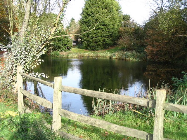
Hawland Wood is home to numerous wildlife species, including deer, badgers, foxes, and a wide array of bird species such as woodpeckers, nightingales, and tawny owls. The wood's diverse habitats, including ponds and wetlands, also attract a range of amphibians and reptiles, including frogs, toads, and grass snakes.
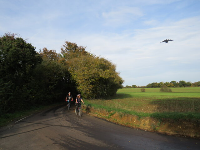
The wood offers a range of recreational activities for visitors, including walking trails and nature walks. There are designated paths that wind through the wood, allowing visitors to explore its beauty and immerse themselves in the peaceful atmosphere. The wood is also a popular spot for birdwatching and photography, with many bird hides strategically placed to provide excellent viewing opportunities.
Hawland Wood is managed by the City of London Corporation, which aims to preserve and protect its natural beauty for future generations. The wood offers a tranquil escape from the bustling city life, providing a serene and natural environment for visitors to enjoy and appreciate the wonders of the Essex countryside.
If you have any feedback on the listing, please let us know in the comments section below.
Hawland Wood Images
Images are sourced within 2km of 51.9284/0.27430712 or Grid Reference TL5627. Thanks to Geograph Open Source API. All images are credited.


Hawland Wood is located at Grid Ref: TL5627 (Lat: 51.9284, Lng: 0.27430712)
Administrative County: Essex
District: Uttlesford
Police Authority: Essex
What 3 Words
///seatbelt.delight.slab. Near Elsenham, Essex
Nearby Locations
Related Wikis

Chickney
Chickney is a village and civil parish near Broxted and southwest of Thaxted, in Uttlesford, Essex, England. The parish borders Broxted, Debden, Henham...
St Mary's Church, Chickney
St Mary's Church is a redundant Anglican church in the parish of Chickney, Essex, England. It is recorded in the National Heritage List for England as...
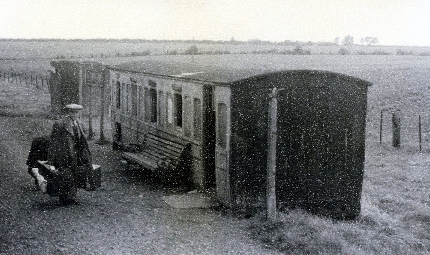
Henham Halt railway station
Henham Halt railway station was a station serving the village of Henham, Essex, England. It was located 1 mile 57 chains (2.76 km) from Elsenham station...

Pledgdon Green
Pledgdon Green, also known as Pledgdon or Prison Green, is a hamlet in the parish of Henham, in the Uttlesford district of Essex, England. The hamlet is...

Broxted
Broxted is a village and civil parish in the Uttlesford district, in the county of Essex, England. It is situated 11 km (6.8 mi) north-east from Bishop...

Henham
Henham, or Henham-on-the-Hill is a village and civil parish in the Uttlesford district of Essex, England. The village is situated 2.5 miles (4 km) north...

Sibleys railway station
Sibleys railway station was a station in Sibleys Green, in the civil parish of Chickney, Essex. It was located 2 miles 78 chains (4.79 km) from Elsenham...
Cherry Green, Essex
Cherry Green or Chaureth Green is a hamlet in the civil parish of Broxted and the Uttlesford district of Essex, England. The hamlet is 1.5 miles (2.4 km...
Nearby Amenities
Located within 500m of 51.9284,0.27430712Have you been to Hawland Wood?
Leave your review of Hawland Wood below (or comments, questions and feedback).