Farsley

Settlement in Yorkshire

England

Farsley

Bradford Road Where the Leeds to Bradford road crosses a former railway line.
Bradford Road Credit: Richard Webb

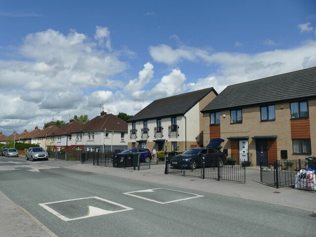
Farsley is a charming village located in the metropolitan borough of Leeds, West Yorkshire, England. Situated just a few miles west of Leeds city center, Farsley is nestled between the larger towns of Pudsey and Rodley. It encompasses an area of approximately 2.5 square miles and has a population of around 10,000 residents.

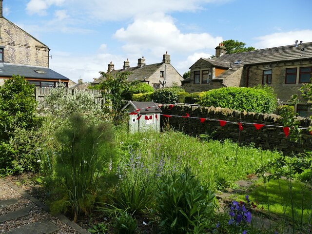
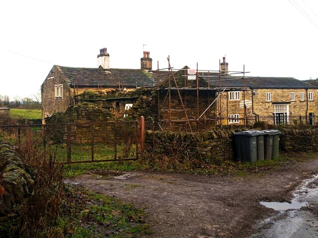
Steeped in history, Farsley dates back to the medieval era, with evidence of settlements in the area as early as the 11th century. The village boasts a mix of architectural styles, ranging from historic stone-built cottages to more modern houses. Farsley is known for its picturesque landscapes, with the River Aire flowing through the village and providing a pleasant backdrop.

Farsley offers a range of amenities to its residents and visitors. The village center is home to a variety of independent shops, including boutiques, cafes, and local businesses, giving it a unique and vibrant atmosphere. The village also has several traditional pubs, providing a cozy and welcoming environment for socializing.

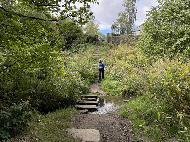
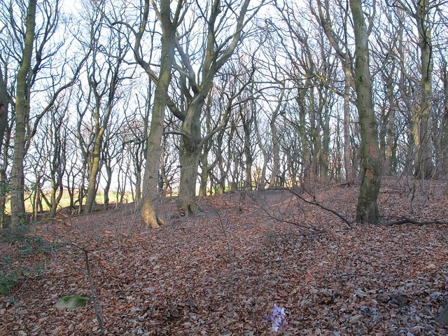
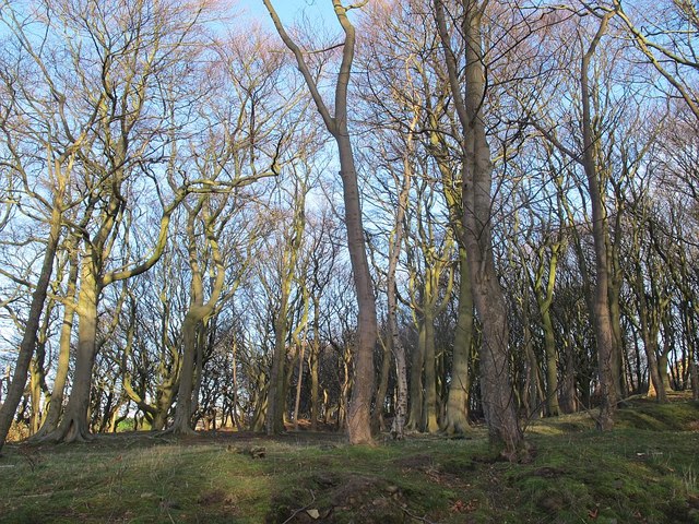
Nature lovers will appreciate the nearby Farsley Park, which offers green spaces, playgrounds, and sports facilities. The park is a popular spot for locals to relax, walk their dogs, or enjoy a picnic. Additionally, Farsley is surrounded by beautiful countryside, with nearby nature reserves and walking trails, making it an ideal location for outdoor enthusiasts.

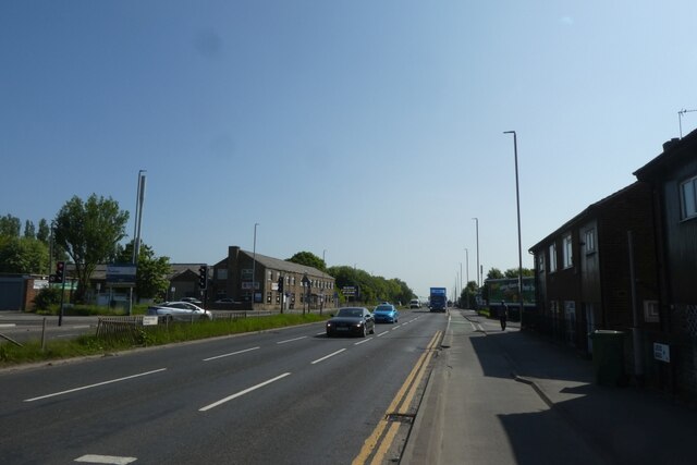
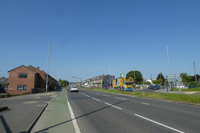
Transport links in Farsley are excellent, with regular bus services connecting the village to Leeds city center and other nearby towns. The village also benefits from its proximity to major road networks, including the M621 and M62 motorways.

Overall, Farsley exudes a peaceful and welcoming atmosphere, combining its rich heritage with modern amenities, making it an attractive place to live or visit in Yorkshire.

If you have any feedback on the listing, please let us know in the comments section below.
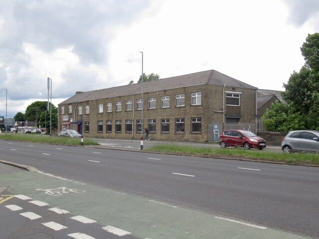
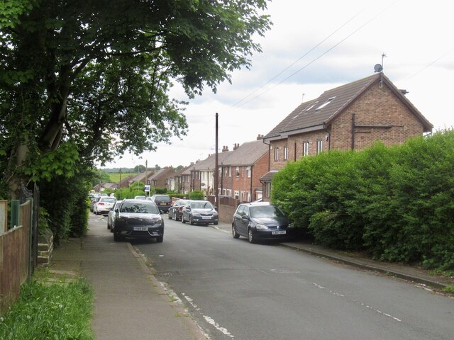
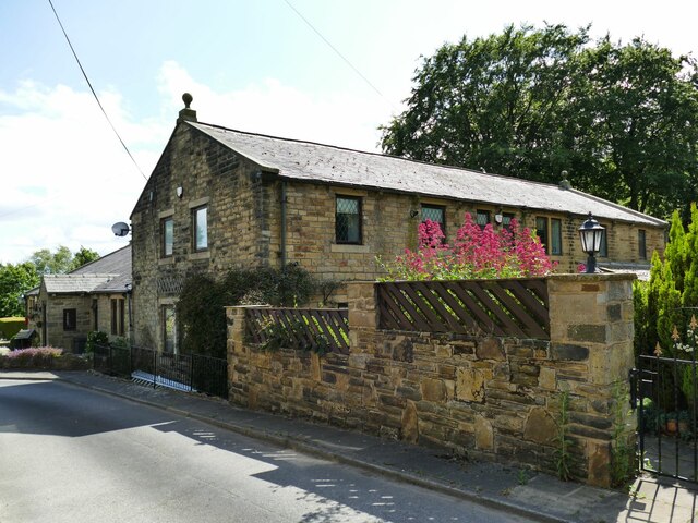
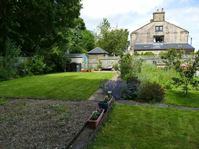
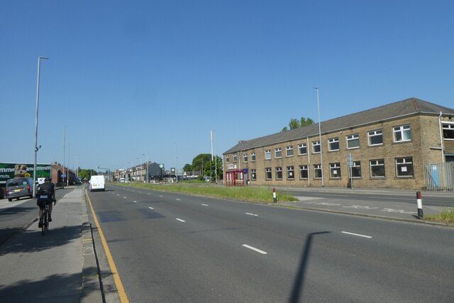
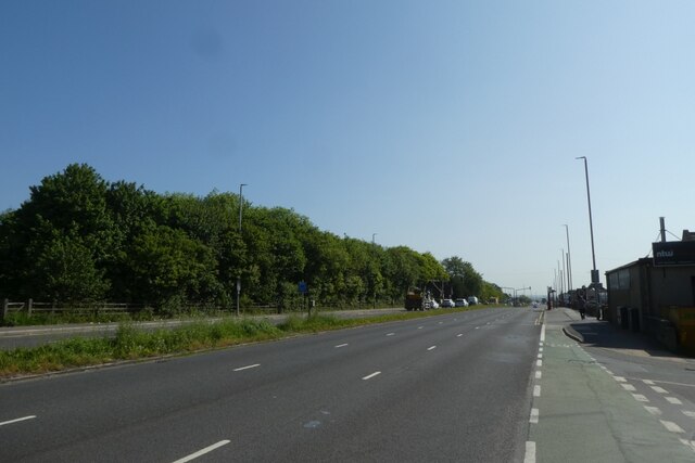
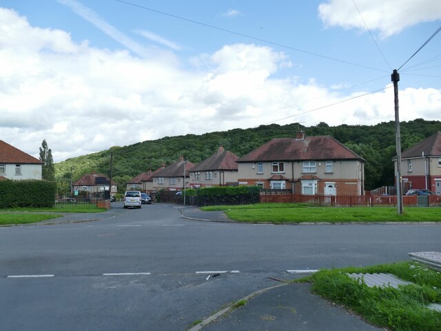
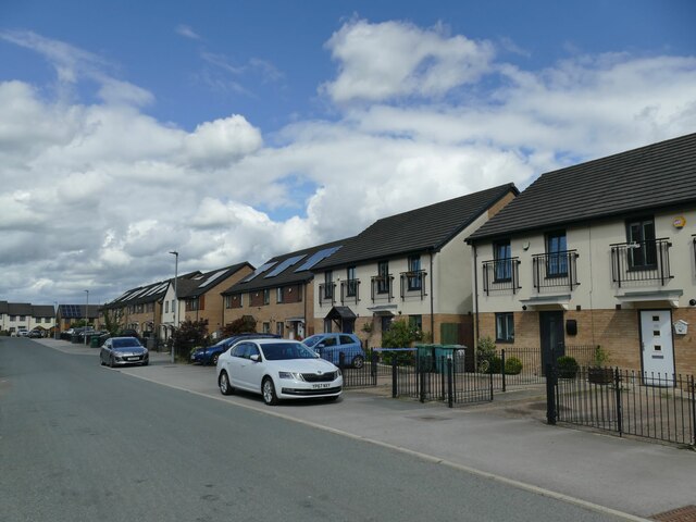
Farsley Images

Images are sourced within 2km of 53.813554/-1.679505 or Grid Reference SE2135. Thanks to Geograph Open Source API. All images are credited.

Bradford Road Where the Leeds to Bradford road crosses a former railway line.
Bradford Road
Where the Leeds to Bradford road crosses a former railway line.
Shipley Branch A tree filled railway cutting under Bradford Road.
Shipley Branch
A tree filled railway cutting under Bradford Road.
Daleside Road
Daleside Road
The Old Barn, Woodhall Hills  One of several former farm buildings now converted to upmarket dwellings.
The Old Barn, Woodhall Hills
One of several former farm buildings now converted to upmarket dwellings.
Garden, Woodhall Hills  The building in the background is one of several former farm buildings now converted to upmarket dwellings. It was originally back-to-back workers' cottages. The garden belongs to the owner of one of them, who told us that the space was formerly the site of Bradford Council's workmen's depot demolished in 2015. It was open to the public on this particular date as part of the Calverley Open Gardens initiative.
Garden, Woodhall Hills
The building in the background is one of several former farm buildings now converted to upmarket dwellings. It was originally back-to-back workers' cottages. The garden belongs to the owner of one of them, who told us that the space was formerly the site of Bradford Council's workmen's depot demolished in 2015. It was open to the public on this particular date as part of the Calverley Open Gardens initiative.
Garden, Woodhall Hills (2) The garden belongs to the owner of a nearby house, who told us that the space was formerly the site of Bradford Council's workmen's depot demolished in 2015. It was open to the public on this particular date as part of the Calverley Open Gardens initiative.
Garden, Woodhall Hills (2)
The garden belongs to the owner of a nearby house, who told us that the space was formerly the site of Bradford Council's workmen's depot demolished in 2015. It was open to the public on this particular date as part of the Calverley Open Gardens initiative.
Ford on Fagley Beck This ford is found on the Fagley Beck at Lower Fagley near Ravenscliffe.
Ford on Fagley Beck
This ford is found on the Fagley Beck at Lower Fagley near Ravenscliffe.
CS1 along Bradford Road CS1, the Leeds-Bradford cycle superhighway running along Bradford Road.
CS1 along Bradford Road
CS1, the Leeds-Bradford cycle superhighway running along Bradford Road.
CS1 near Grange Avenue CS1, the Leeds-Bradford cycle superhighway running along Bradford Road.
CS1 near Grange Avenue
CS1, the Leeds-Bradford cycle superhighway running along Bradford Road.
Bradford Road near Daleside Road A cyclist is on CS1, the Leeds-Bradford cycle superhighway.
Bradford Road near Daleside Road
A cyclist is on CS1, the Leeds-Bradford cycle superhighway.
Bradford Road at the Daleside Road Junction CS1, the Leeds-Bradford cycle superhighway runs along Bradford Road.
Bradford Road at the Daleside Road Junction
CS1, the Leeds-Bradford cycle superhighway runs along Bradford Road.
Langdale Road, Ravenscliffe With Ravenscliffe Woods in the distance.
Langdale Road, Ravenscliffe
With Ravenscliffe Woods in the distance.
Modern housing on Norbury Road This part of the Ravenscliffe estate was rebuilt in the early years of the 21st century.
Modern housing on Norbury Road
This part of the Ravenscliffe estate was rebuilt in the early years of the 21st century.
New and old houses on Ranelagh Avenue The further houses are the original pairs of Council semis from the 1940s; the nearer ones are a recent (post-2000) rebuild.
New and old houses on Ranelagh Avenue
The further houses are the original pairs of Council semis from the 1940s; the nearer ones are a recent (post-2000) rebuild.
Derelict Building, Fagley Road, Bradford Possibly a barn. This part of Fagley Road, from the bus terminus at the bottom of the housing estate, is unmade and little more than a track.
Derelict Building, Fagley Road, Bradford
Possibly a barn. This part of Fagley Road, from the bus terminus at the bottom of the housing estate, is unmade and little more than a track.
Green fairies? A gnome from home on Calverley Golf Course.

A deceptively spacious executive residence with easy access to the golf course. Complete with satellite dish, solar panels, CCTV and burglar alarm.

Internal viewing is essential.
Green fairies?
A gnome from home on Calverley Golf Course. A deceptively spacious executive residence with easy access to the golf course. Complete with satellite dish, solar panels, CCTV and burglar alarm. Internal viewing is essential.
Woodhall plantation Despite the name, this looks to me more like a natural beech wood.
Woodhall plantation
Despite the name, this looks to me more like a natural beech wood.
Woodhall plantation (2) Despite the name, this looks to me more like a natural beech wood.
Woodhall plantation (2)
Despite the name, this looks to me more like a natural beech wood.
Show me another place!

Farsley is located at Grid Ref: SE2135 (Lat: 53.813554, Lng: -1.679505)

Division: West Riding

Unitary Authority: Leeds

Police Authority: West Yorkshire

What 3 Words

///coins.fats.festivity. Near Pudsey, West Yorkshire

Nearby Locations

Farsley

Related Wikis

Farsley

Farsley is a town in the City of Leeds metropolitan borough, West Yorkshire, England, 6 miles (9.7 km) to the west of Leeds city centre, 4 miles (6.4 km...

Co-op Academy Priesthorpe

Co-op Academy Priesthorpe is a secondary school, academy and sixth form in Pudsey, West Yorkshire, England. == Curriculum == Co-op Academy Priesthorpe...

Sunny Bank Mills

Sunny Bank Mills is a former textile mill, which specialised in worsted cloth, set in 10 acres of land located on Town Street, Farsley, Leeds, England...

New Pudsey railway station

New Pudsey railway station serves the towns of Farsley and Pudsey in West Yorkshire, England, on the Calder Valley line. It serves the adjacent suburb...

Bagley, West Yorkshire

Bagley is a village in the City of Leeds metropolitan borough, West Yorkshire, England, once in the township of Farsley. The remains of the village (or...

The Citadel (Farsley)

The Citadel, previously known as Throstle Nest, is a football ground situated in Farsley, in the Metropolitan District of the City of Leeds in England...

Stanningley

Stanningley is a district of Pudsey, West Yorkshire, England. It is situated approximately 5 miles (8 km) west of Leeds city centre on the A647 road, the...

AW Hainsworth

AW Hainsworth & Sons, Ltd., formerly known as Abimelech Hainsworth are an English textile manufacturing company based in Pudsey, West Yorkshire. They are...

Nearby Amenities

Located within 500m of 53.813554,-1.679505
Post Box
Operator: Royal Mail
Ref: LS28 978
Lat/Long: 53.8161301/-1.6740808
Turning Circle
Lat/Long: 53.8113233/-1.6772862
Turning Circle
Lat/Long: 53.8109562/-1.6804498
Turning Circle
Lat/Long: 53.8119757/-1.68023
Turning Circle
Lat/Long: 53.8146339/-1.677145
Turning Circle
Lat/Long: 53.8107429/-1.6795593
Turning Circle
Lat/Long: 53.8130309/-1.6796727
Noexit: yes
Lat/Long: 53.8155807/-1.6746466
Post Box
Post Box Mounting: brick_pillar
Post Box Type: wall
Ref: LS28 668D
Royal Cypher: EIIR
Royal Cypher Wikidata: Q33102113
Lat/Long: 53.811569/-1.6780452
Farfield News And Off Licence
Addr City: Pudsey
Addr Housenumber: 38-40
Addr Postcode: LS28 5HL
Addr Street: Farfield Avenue
Addr Suburb: Farsley
Fhrs Id: 553158
Shop: convenience
Lat/Long: 53.8116/-1.6787251
Addr City: Farsley
Addr Housename: Oakwell House
Addr Housenumber: 8
Addr Street: Oakwell Terrace
Lat/Long: 53.8130244/-1.6733276
Entrance: yes
Lat/Long: 53.8128632/-1.6721397
Entrance: yes
Lat/Long: 53.8123936/-1.6729816
Entrance: yes
Lat/Long: 53.8122347/-1.6724049
Entrance: yes
Lat/Long: 53.8125684/-1.6723827
Entrance: yes
Lat/Long: 53.8126425/-1.6732039
Entrance: yes
Lat/Long: 53.8127663/-1.6727501
Fast Food
Rodie Pizza
Addr City: Pudsey
Addr Housenumber: 42
Addr Postcode: LS28 5HL
Addr Street: Farfield Avenue
Addr Suburb: Farsley
Fhrs Id: 865166
Takeaway: yes
Lat/Long: 53.8116003/-1.6788483
Cafe
Scrap Community Craft Cafe
Addr City: Pudsey
Addr Housename: Sunny Bank Mills
Addr Housenumber: 83-85
Addr Postcode: LS28 5UJ
Addr Street: Town Street
Addr Suburb: Farsley
Addr Unit: 10
Fhrs Id: 1154015
Lat/Long: 53.813781/-1.6723225
Waste Basket
Collection Times: Mo
Condition: POOR
Ref UK Leedscc Bin: 1020
Waste Basket Model: METAL TWIN
Lat/Long: 53.811591/-1.677992
Waste Basket
Collection Times: Mo
Condition: POOR
Ref UK Leedscc Bin: 1019
Waste Basket Model: METAL TWIN
Lat/Long: 53.811538/-1.678443
Waste Basket
Collection Times: Mo
Condition: POOR
Ref UK Leedscc Bin: 9878
Waste Basket Model: METAL TWIN
Lat/Long: 53.811556/-1.678909
Waste Basket
Collection Times: Mo
Ref UK Leedscc Bin: 796
Lat/Long: 53.811327/-1.6818
Waste Basket
Collection Times: Mo
Condition: FAIR
Ref UK Leedscc Bin: 799
Waste Basket Model: POST BIN
Lat/Long: 53.811097/-1.681744
Waste Basket
Collection Times: Mo
Condition: FAIR
Ref UK Leedscc Bin: 800
Waste Basket Model: POST BIN
Lat/Long: 53.810509/-1.681312
Waste Basket
Collection Times: Mo
Condition: GOOD
Ref UK Leedscc Bin: 801
Waste Basket Model: METAL SQUARE
Lat/Long: 53.809486/-1.680963
Waste Basket
Collection Times: Mo
Condition: GOOD
Ref UK Leedscc Bin: 795
Waste Basket Model: METAL SQUARE
Lat/Long: 53.809247/-1.680893
Generator Method: photovoltaic
Generator Output Electricity: yes
Generator Source: solar
Generator Type: solar_photovoltaic_panel
Power: generator
Lat/Long: 53.8090812/-1.679627
Generator Method: photovoltaic
Generator Output Electricity: yes
Generator Source: solar
Generator Type: solar_photovoltaic_panel
Power: generator
Lat/Long: 53.8091181/-1.67989
Rest Area
Toilets: no
Lat/Long: 53.8136314/-1.6812308
Direction: 120
Man Made: surveillance
Surveillance: public
Surveillance Type: ALPR
Surveillance Zone: traffic
Lat/Long: 53.8163713/-1.6776994
Direction: 315
Man Made: surveillance
Surveillance: public
Surveillance Type: ALPR
Surveillance Zone: traffic
Lat/Long: 53.8162587/-1.6773908
Generator Method: photovoltaic
Generator Output Electricity: small_installation
Generator Source: solar
Generator Type: solar_photovoltaic_panel
Location: roof
Power: generator
Lat/Long: 53.8162561/-1.6747525
Barrier: motorcycle_barrier
Foot: yes
Lat/Long: 53.8141245/-1.676885
Waste Basket
Lat/Long: 53.814093/-1.6767575
Generator Method: photovoltaic
Generator Output Electricity: small_installation
Generator Source: solar
Generator Type: solar_photovoltaic_panel
Location: roof
Power: generator
Lat/Long: 53.8140755/-1.6754472
Farsley community orchard
Description: https://www.facebook.com/farsleycommunityorchard
Garden Type: community
Leisure: garden
Lat/Long: 53.8150831/-1.6787643
Give Way
Direction: forward
Lat/Long: 53.8101839/-1.6784414
Give Way
Direction: backward
Lat/Long: 53.8101837/-1.6785527
The data included in this document is from www.openstreetmap.org. The data is made available under ODbL.

Have you been to Farsley?

Leave your review of Farsley below (or comments, questions and feedback).