Farrington Gurney
Settlement in Somerset
England
Farrington Gurney
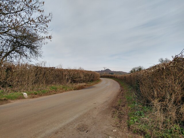
Farrington Gurney is a small village located in the county of Somerset, England. Situated approximately 10 miles south of the city of Bristol, Farrington Gurney is part of the Mendip district. The village is nestled in a rural area, surrounded by picturesque countryside, and is known for its peaceful and tranquil atmosphere.
With a population of around 1,500 residents, Farrington Gurney is a close-knit community where neighbors often know each other by name. The village features a mix of old and new properties, with traditional stone cottages and modern houses dotted throughout the area. The village also boasts a range of amenities, including a primary school, a post office, a convenience store, and a pub.
Farrington Gurney has a rich history dating back to the Roman era, with archaeological evidence suggesting the presence of a Roman settlement in the area. The village's name itself is derived from Old English, with "Farrington" meaning "fern enclosure" and "Gurney" referring to the Gournay family who were significant landowners in the area during the medieval period.
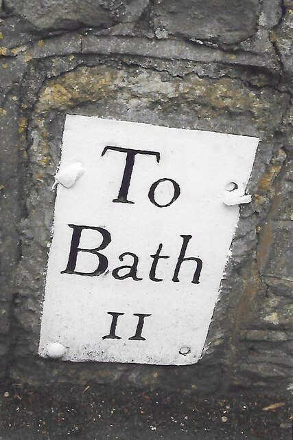
The village is well-connected to surrounding areas, with regular bus services providing access to nearby towns and cities. Additionally, the village is conveniently located near major road networks, with the A37 passing through, providing easy access to Bristol and other destinations.
Overall, Farrington Gurney offers a charming and idyllic countryside lifestyle, making it an attractive place to live for those seeking a peaceful and scenic environment.
If you have any feedback on the listing, please let us know in the comments section below.
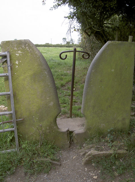
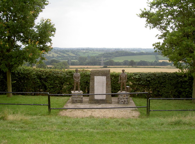
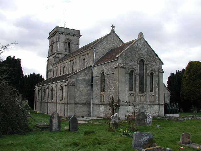
Farrington Gurney Images
Images are sourced within 2km of 51.29784/-2.529947 or Grid Reference ST6355. Thanks to Geograph Open Source API. All images are credited.


Farrington Gurney is located at Grid Ref: ST6355 (Lat: 51.29784, Lng: -2.529947)
Unitary Authority: Bath and North East Somerset
Police Authority: Avon and Somerset
What 3 Words
///countries.glue.immune. Near Paulton, Somerset
Nearby Locations
Related Wikis
Farrington Gurney
Farrington Gurney is a village and civil parish in Somerset, England located at the foot of the Mendip Hills on the junction of the A37 and A362. It has...
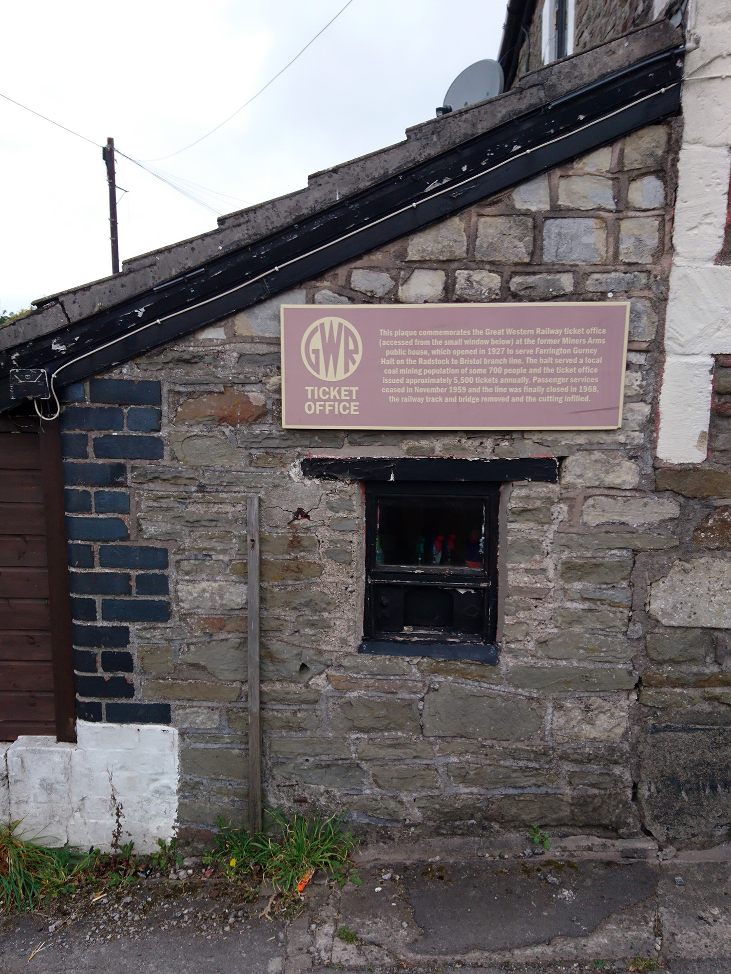
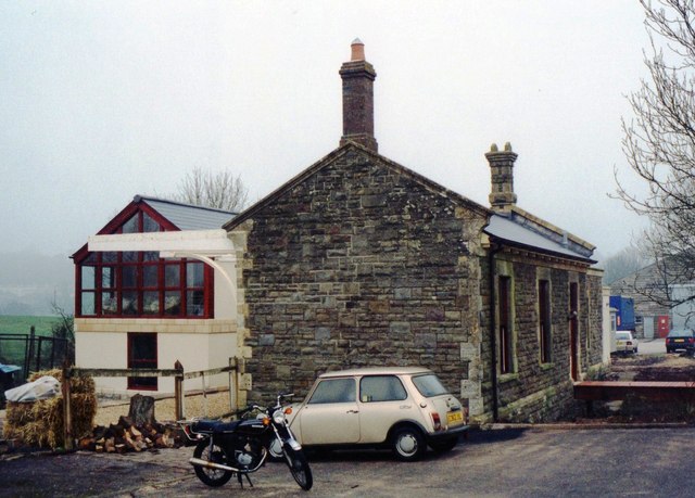
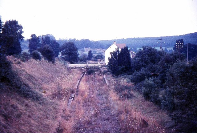
Farrington Gurney Halt railway station
Farrington Gurney Halt railway station served the village of Farrington Gurney, Somerset, England from 1927 to 1959 on the Bristol and North Somerset Railway...
Hallatrow railway station
Hallatrow railway station served the village of High Littleton, Somerset, England from 1873 to 1959 on the Bristol and North Somerset Railway. == History... ==
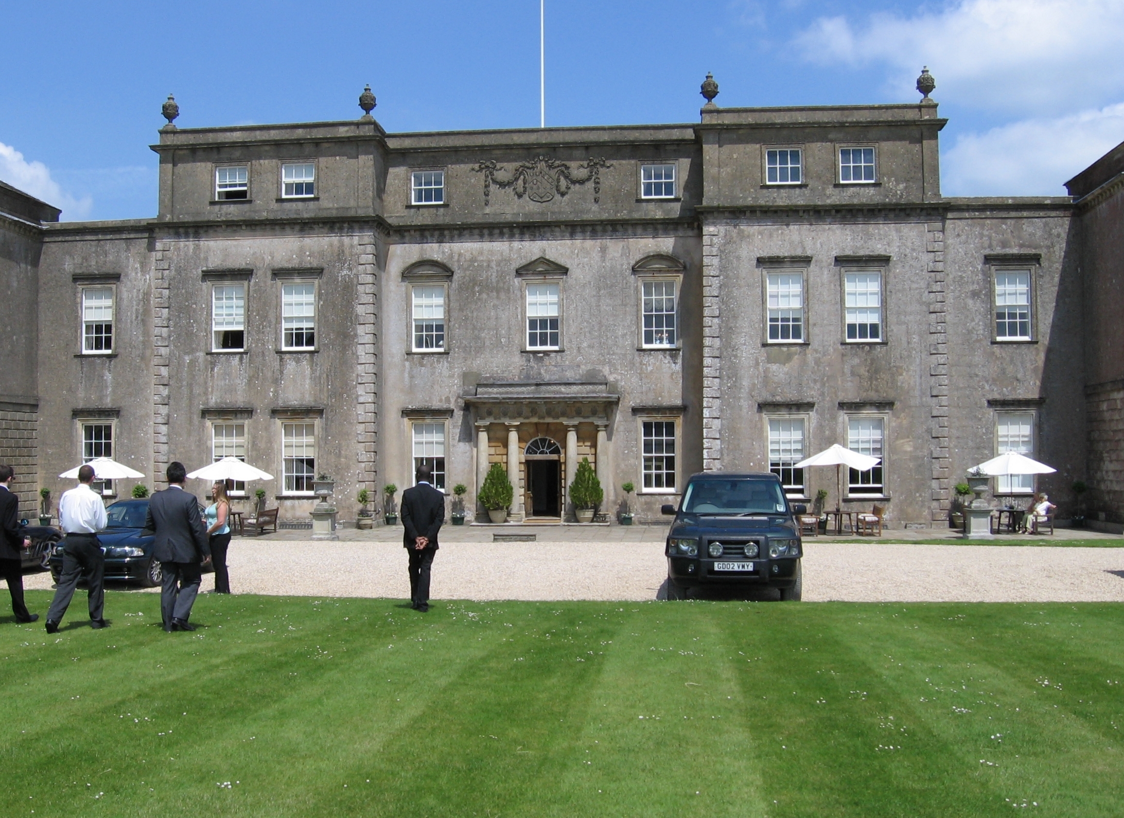
Ston Easton Park
Ston Easton Park is an English country house built in the 18th century. It lies near the village of Ston Easton, Somerset. It is a Grade I listed building...
Ston Easton
Ston Easton is a linear village and civil parish in the English county of Somerset. It is 14 miles (23 km) southwest of Bath and 7 miles (11 km) north...

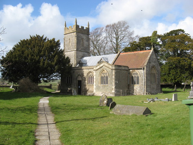
Church of the Holy Trinity, Paulton
The Anglican Church of the Holy Trinity in Paulton, Somerset, England, was founded in 1235 and is a Grade II* listed building. It was built on the site...
Paulton
Paulton (English: ) is a large village and civil parish, with a population of 5,302, located to the north of the Mendip Hills, very close to Norton Radstock...
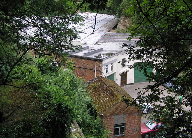
Cloud Quarry
Cloud Quarry (grid reference ST630577) was a quarry near Temple Cloud, in the limestone of the Mendip Hills, in Somerset, England. During World War II...
Nearby Amenities
Located within 500m of 51.29784,-2.529947Have you been to Farrington Gurney?
Leave your review of Farrington Gurney below (or comments, questions and feedback).