Bushy Wood

Wood, Forest in Kent Sevenoaks

England

Bushy Wood

Dry valley on the North Downs A classic piece of downland scenery.
Dry valley on the North Downs Credit: N Chadwick

Bushy Wood is a picturesque woodland located in the county of Kent, England. Covering an area of approximately 100 acres, it is a popular destination for nature lovers, hikers, and wildlife enthusiasts. The wood is situated near the village of Blean, just a few miles away from the historic city of Canterbury.

Bushy Wood is predominantly composed of mixed deciduous trees, including oak, beech, and ash, which create a dense and vibrant canopy. The woodland floor is adorned with an array of wildflowers, ferns, and mosses. In spring, the wood is transformed into a colorful paradise as bluebells carpet the forest floor.

The wood is crisscrossed with a network of well-maintained footpaths, allowing visitors to explore its natural beauty at their own pace. The trails wind through ancient trees, providing a tranquil and peaceful atmosphere. Many visitors enjoy observing the abundant wildlife that inhabits the wood, including deer, squirrels, and a variety of bird species.

Bushy Wood is also home to several rare and protected species, including the lesser spotted woodpecker and the dormouse. The wood is an important habitat for these creatures and contributes to the overall biodiversity of the area.

Managed by a local conservation group, the wood is carefully preserved to maintain its natural integrity. Visitors are encouraged to respect the environment and follow the designated trails to minimize disruption to the flora and fauna.

Overall, Bushy Wood offers a serene retreat for those seeking to escape the hustle and bustle of everyday life and immerse themselves in the beauty of nature.

If you have any feedback on the listing, please let us know in the comments section below.
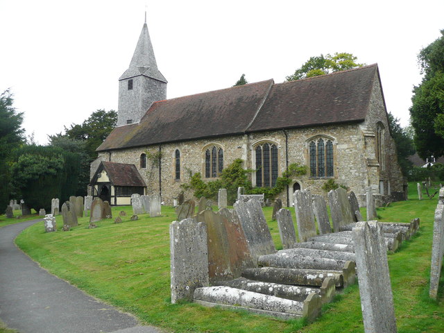
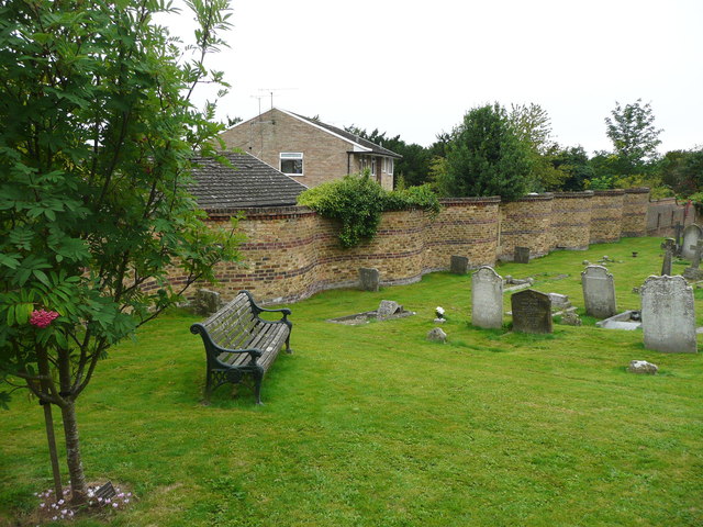
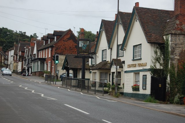
Bushy Wood Images

Images are sourced within 2km of 51.302057/0.23491227 or Grid Reference TQ5558. Thanks to Geograph Open Source API. All images are credited.

Dry valley on the North Downs A classic piece of downland scenery.
Dry valley on the North Downs
A classic piece of downland scenery.
Horses grazing on the North Downs
High hedges, Cotmans Ash Lane
Localised flooding, Cotmans Ash Lane Flooding on top of the North Downs!!
Localised flooding, Cotmans Ash Lane
Flooding on top of the North Downs!!
Byway off Cotmans Ash Lane
Field by Cotmans Ash Lane
Cotmans Ash Lane
Cotmans Ash Lane
Small valley crosses Cotmans Ash Lane
Hedges, Cotmans Ash Lane
Bali Hai Farm
Bali Hai Farm
Wennlands Farm
Wennlands Farm
Cotman's Ash Lane
Cotman's Ash Lane
The Bell, Kemsing To the right, the war memorial is in a little garden.
The Bell, Kemsing
To the right, the war memorial is in a little garden.
Clock and statue on St Edith's Hall, Kemsing The hall was built in 1911. Saint Edith of Wilton was an English nun, a daughter of King Edgar of England 'The Peaceful'. She was born at Kemsing, Kent, in 961. (Wikipedia)
Clock and statue on St Edith's Hall, Kemsing
The hall was built in 1911. Saint Edith of Wilton was an English nun, a daughter of King Edgar of England 'The Peaceful'. She was born at Kemsing, Kent, in 961. (Wikipedia)
St Edith's Club, Kemsing Part of a long building, includingb the village hall, built in 1911. There are bands of narrow bricks along the edges of the gables.
St Edith's Club, Kemsing
Part of a long building, includingb the village hall, built in 1911. There are bands of narrow bricks along the edges of the gables.
An unexpected clock in Kemsing On a building up a driveway of the main street.
An unexpected clock in Kemsing
On a building up a driveway of the main street.
St Mary's Church and hogsback tombstones, Kemsing
Crinkle-crankle churchyard wall, Kemsing I didn't know to check this one, but have read that this type of wall only needs to be one brick thick as the curves give it strength and stability.
Crinkle-crankle churchyard wall, Kemsing
I didn't know to check this one, but have read that this type of wall only needs to be one brick thick as the curves give it strength and stability.
Show me another place!

Bushy Wood is located at Grid Ref: TQ5558 (Lat: 51.302057, Lng: 0.23491227)

Administrative County: Kent

District: Sevenoaks

Police Authority: Kent

What 3 Words

///phones.period.spoil. Near Kemsing, Kent

Related Wikis

Kemsing

Kemsing is a village and civil parish in the Sevenoaks district of Kent, England. The parish lies on the scarp face of the North Downs, 20 miles south...

Kemsing railway station

Kemsing railway station serves Kemsing in Kent, England, although the station is located on the other side of the M26 motorway to the village. It is 26...

Heaverham

Heaverham is a hamlet in the Sevenoaks district, in the county of Kent, England. Nearby is the country estate of St Clere. == Location == It is located...

Kemsing Down

Kemsing Down is a 16-hectare (40-acre) nature reserve north of Sevenoaks in Kent. It is managed by the Kent Wildlife Trust. It is in the Kent Downs Area...

Seal, Kent

Seal is a village and civil parish in the Sevenoaks district of Kent, England. The parish is located in the valley between the North Downs and the Greensand...
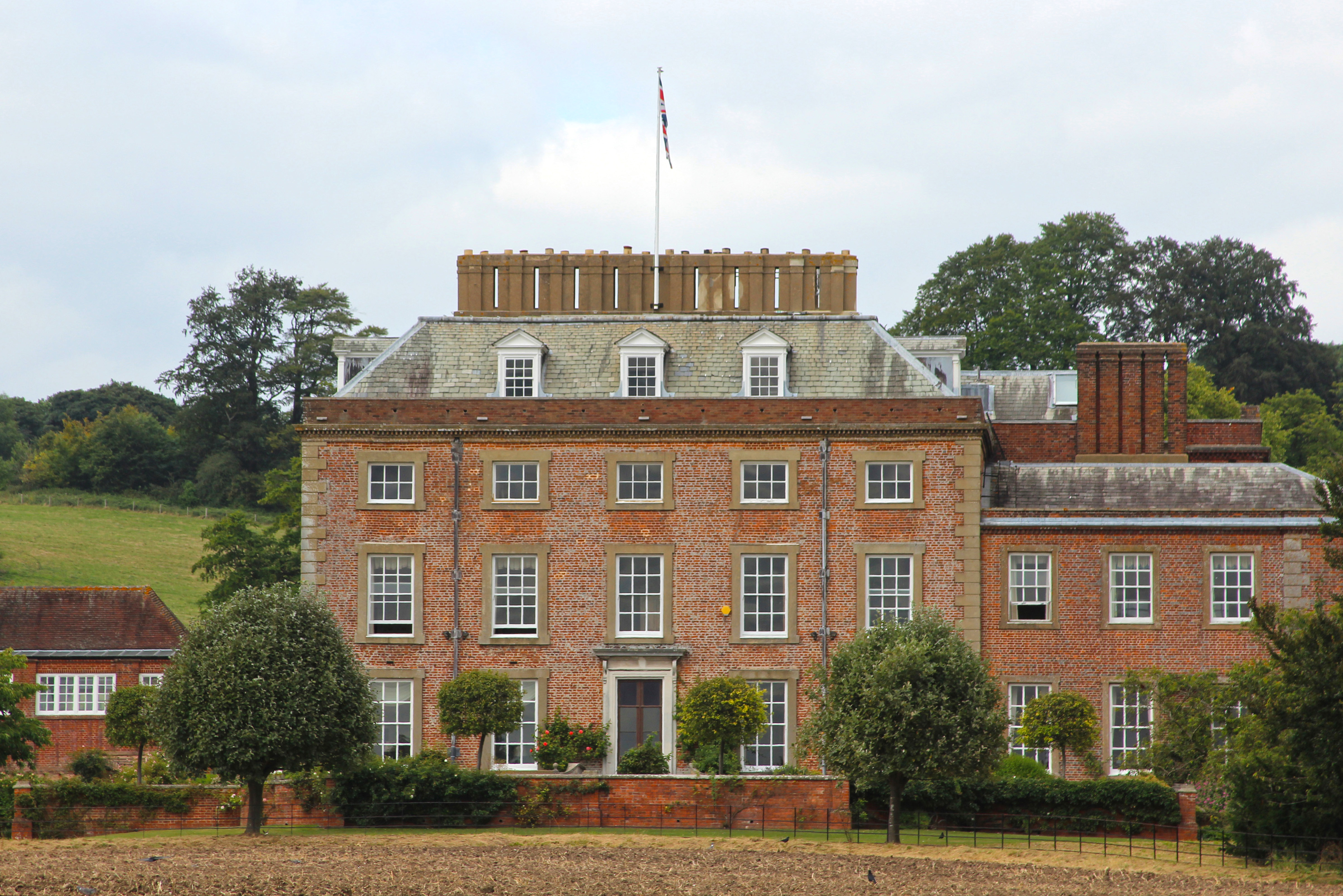
St Clere, Kent

St Clere is a Grade I listed 17th-century country house in Kemsing, Kent, England. The house is built in brick in three storeys plus basement and attic...

Dorton House

Dorton House, formerly known as Wildernesse, is a Grade II listed Georgian mansion house in Seal, Kent, near Sevenoaks; until 2013 it was used as the headquarters...

St Michael's Prep School, Otford

St Michael's Prep School is a coeducational preparatory school in Otford, located in a 100-acre (400,000 m2) site in the North Downs, Kent, England....

Nearby Amenities

Located within 500m of 51.302057,0.23491227
Barrier: stile
Foot: yes
Lat/Long: 51.3010039/0.2417287
Turning Circle
Lat/Long: 51.3041306/0.2295184
Telephone
Booth: K6
Covered: booth
Man Made: telephone_box
Lat/Long: 51.2995004/0.2311977
Post Box
Collection Times: Mo-Fr 09:00; Sa 07:00; Su off
Colour: red
Post Box Type: lamp
Ref: TN15 147
Royal Cypher: EIIR
Royal Cypher Wikidata: Q33102113
Source: survey
Lat/Long: 51.2995209/0.2311805
Bus Stop
Naptan AtcoCode: 2400A029830A
Naptan NaptanCode: kntdgwdj
Public Transport: platform
Ref: KNTDGWDJ
Route Ref: 431;432
Lat/Long: 51.2998814/0.2304645
Barrier: stile
Lat/Long: 51.3012446/0.2303483
Bus Stop
Park Lane
Local Ref: adj
Naptan AtcoCode: 2400A029840A
Naptan Bearing: N
Naptan BusStopType: MKD
Naptan CommonName: Park Lane
Naptan Indicator: adj
Naptan Landmark: Park Lane
Naptan NaptanCode: kntdgwdm
Naptan RevisionNumber: 3
Naptan Status: act
Naptan Street: St Edith's Road
Naptan Verified: yes
Public Transport: platform
Ref: kntdgwdm
Source: naptan_import
Source Date: 2018-02-12
Lat/Long: 51.3040444/0.2287523
Bus Stop
Greenlands Road
Naptan AtcoCode: 2400A029830A
Naptan Bearing: NE
Naptan CommonName: Greenlands Road
Naptan Indicator: adj
Naptan Landmark: Noahs Ark
Naptan NaptanCode: kntdgwdj
Naptan Street: Greenlands Road
Naptan Verified: no
Public Transport: platform
Source: naptan_import
Lat/Long: 51.2998678/0.2303575
Barrier: stile
Lat/Long: 51.302892/0.2314926
Barrier: stile
Foot: yes
Lat/Long: 51.3017777/0.2416411
Barrier: kissing_gate
Foot: yes
Lat/Long: 51.2986717/0.2327679
Barrier: kissing_gate
Lat/Long: 51.2999102/0.2329364
Man Made: village_sign
Lat/Long: 51.2996679/0.2309985
Shelter
Shelter Type: public_transport
Lat/Long: 51.2998612/0.2304249
The data included in this document is from www.openstreetmap.org. The data is made available under ODbL.

Have you been to Bushy Wood?

Leave your review of Bushy Wood below (or comments, questions and feedback).