Warwick Wood
Wood, Forest in Essex
England
Warwick Wood

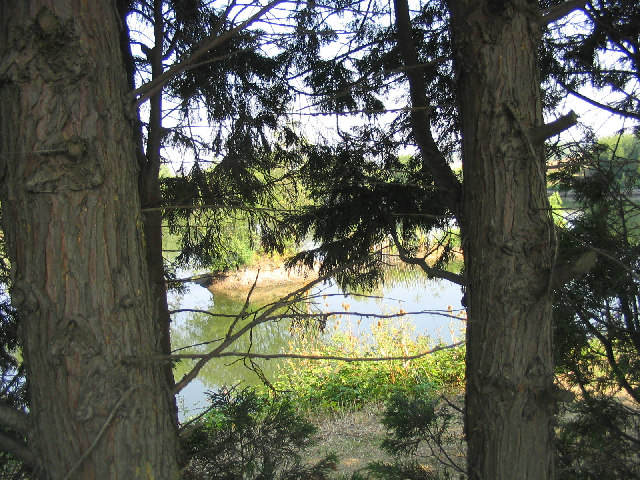
Warwick Wood is a picturesque woodland located in Essex, England. Situated in the village of Warwick, it covers an area of approximately 100 acres and is a significant natural attraction in the region. The wood is part of a larger forested area known as Epping Forest, which spans over 2,400 hectares.
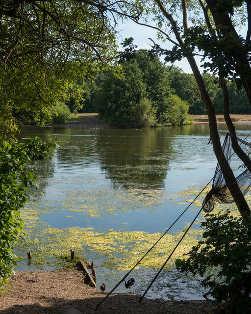
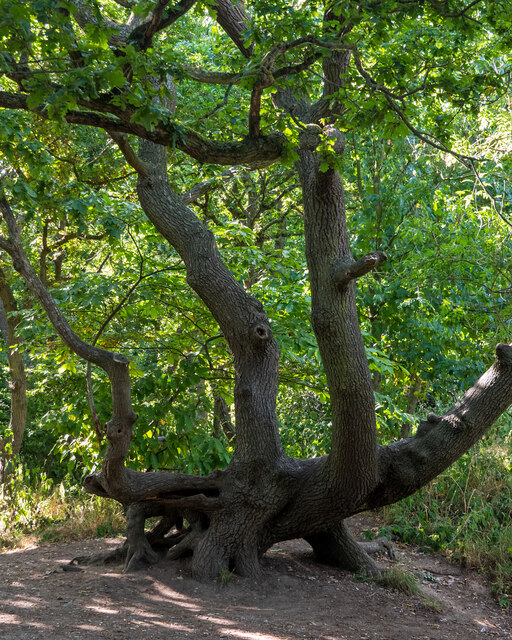
Warwick Wood is characterized by its diverse range of flora and fauna, making it a haven for nature enthusiasts and wildlife lovers. The woodland is predominantly composed of mature oak and beech trees, with an understory of holly, hazel, and birch. This rich vegetation provides a habitat for various bird species, including woodpeckers, thrushes, and owls, as well as mammals such as foxes, badgers, and deer.
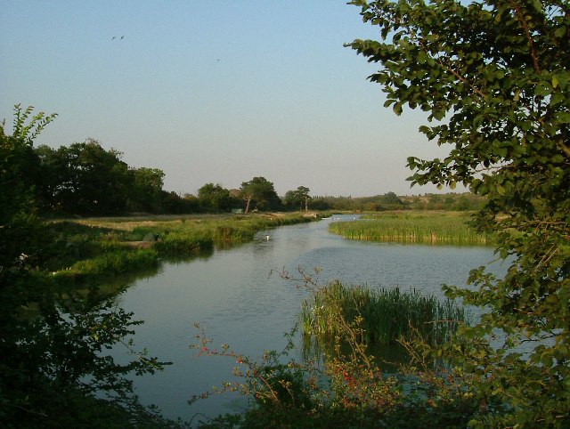
The wood is crisscrossed with a network of well-maintained footpaths, allowing visitors to explore its beauty at their leisure. These paths lead visitors through serene glades, alongside babbling brooks, and up gentle slopes, offering breathtaking views of the surrounding countryside.
Warwick Wood has a long history of human habitation, with evidence of settlements dating back to the Iron Age. The woodland has also been utilized for timber production and charcoal burning in the past. Today, it is managed by the City of London Corporation, which aims to preserve its natural beauty and promote its educational and recreational value.
Overall, Warwick Wood is an idyllic woodland that offers a tranquil escape from the hustle and bustle of modern life. Its rich biodiversity, well-preserved trails, and cultural significance make it a popular destination for both locals and tourists alike.
If you have any feedback on the listing, please let us know in the comments section below.
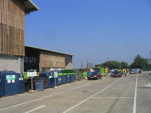
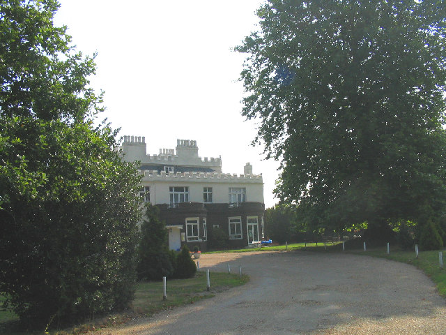
Warwick Wood Images
Images are sourced within 2km of 51.523526/0.24405419 or Grid Reference TQ5582. Thanks to Geograph Open Source API. All images are credited.


Warwick Wood is located at Grid Ref: TQ5582 (Lat: 51.523526, Lng: 0.24405419)
Unitary Authority: Thurrock
Police Authority: Essex
What 3 Words
///dozed.chips.ridge. Near Aveley, Essex
Nearby Locations
Related Wikis
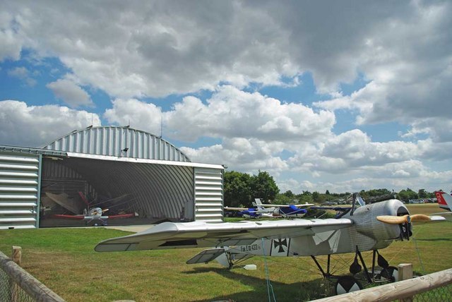
Damyns Hall Aerodrome
Damyns Hall Aerodrome (ICAO: EGML) is an operational general aviation training and experience aerodrome 2 nautical miles (3.7 km; 2.3 mi) south of Upminster...
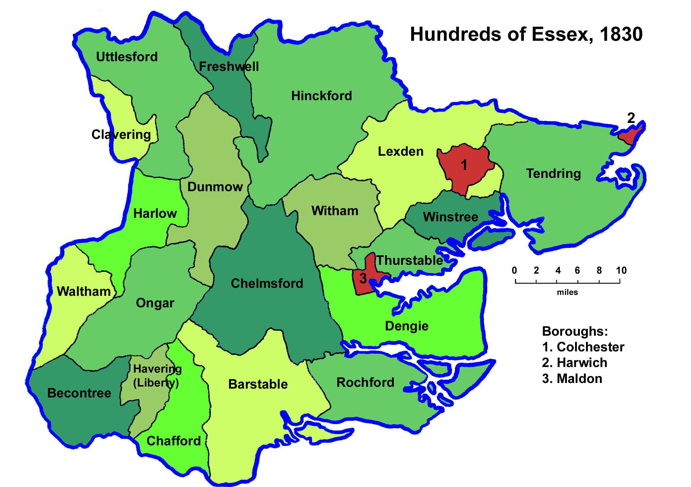
Hundred of Chafford
Chafford was an ancient hundred in the south west of the county of Essex, England. Its area has been partly absorbed by the growth of London; with its...

Field hockey at the 1908 Summer Olympics
At the 1908 Summer Olympics, a field hockey tournament was contested for the first time. Six teams entered the tournament: England, Ireland, Scotland,...

Athletics at the 1908 Summer Olympics
At the 1908 Summer Olympics held in London, England, 26 athletics events were contested, all for men only. A total of 79 medals (27 gold, 27 silver, 25...
Archery at the 1908 Summer Olympics
At the 1908 Summer Olympics, three archery events were contested. Great Britain sent 41 archers (25 female and 16 male), France sent 15 men, and the United...

Diving at the 1908 Summer Olympics
At the 1908 Summer Olympics in London, two diving events were contested, both for men only. The competition was held on Tuesday July 14, 1908 and Friday...
Swimming at the 1908 Summer Olympics
At the 1908 Summer Olympics in London, six swimming events were contested. These were the first Olympic Games in which a 100-metre pool had been especially...
Gymnastics at the 1908 Summer Olympics
At the 1908 Summer Olympics, two gymnastics events for men were contested. No nation was successful in winning more than one medal. No women's competitions...
Nearby Amenities
Located within 500m of 51.523526,0.24405419Have you been to Warwick Wood?
Leave your review of Warwick Wood below (or comments, questions and feedback).