Cely Woods
Wood, Forest in Essex
England
Cely Woods

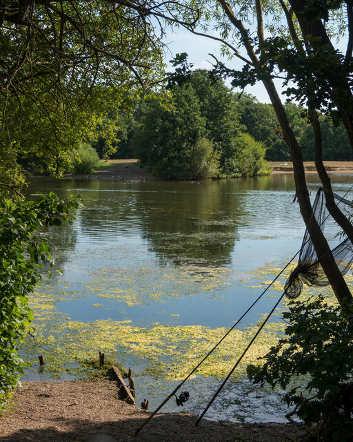
Cely Woods, located in Essex, England, is a picturesque woodland area renowned for its natural beauty and rich biodiversity. Spanning over 200 acres, this ancient woodland is a cherished local treasure and a popular destination for nature enthusiasts, hikers, and bird watchers.
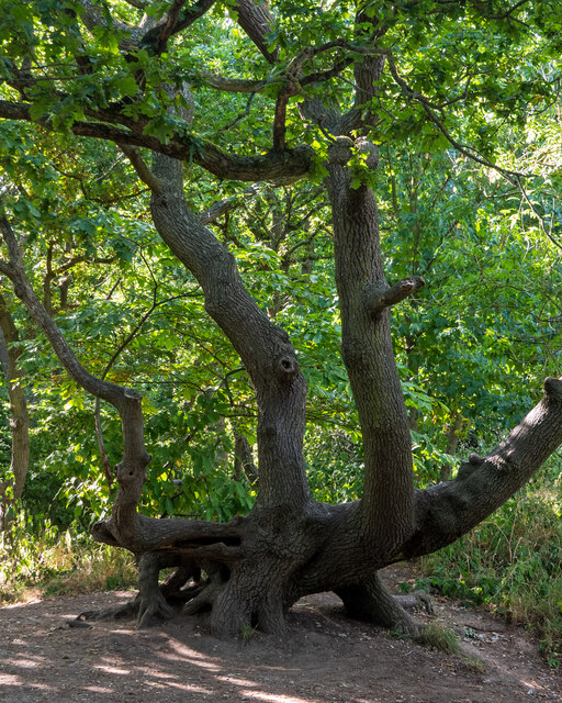
The woodland is predominantly composed of native tree species such as oak, beech, and birch, forming a dense and diverse forest canopy. The presence of these trees creates a habitat that supports a wide range of wildlife, including deer, foxes, badgers, and various bird species like woodpeckers, owls, and songbirds.
The woodland boasts a network of well-maintained footpaths and trails that allow visitors to explore its enchanting surroundings. These paths wind through the woods, immersing visitors in a peaceful and tranquil atmosphere. The area is also known for its vibrant display of bluebells during the spring season, attracting locals and tourists alike.
Cely Woods holds historical significance as well. It was once part of the extensive forest of Essex, which covered a significant portion of the county centuries ago. The woodland's ancient roots are evident in the presence of ancient trees, some of which are believed to be over 500 years old.
In recent years, efforts have been made to preserve and protect Cely Woods, with local authorities and conservation organizations working together to maintain its ecological balance and safeguard its future. Regular surveys and conservation projects aim to ensure the continued health and vitality of this natural gem for generations to come.
If you have any feedback on the listing, please let us know in the comments section below.
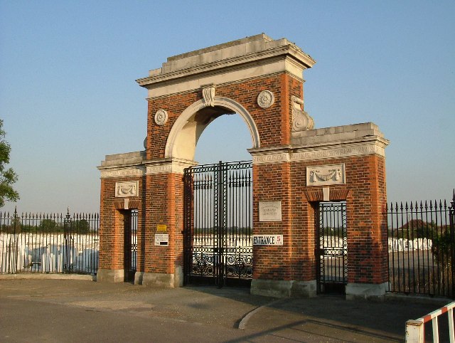
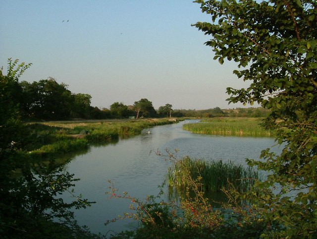
Cely Woods Images
Images are sourced within 2km of 51.519526/0.24303586 or Grid Reference TQ5582. Thanks to Geograph Open Source API. All images are credited.


Cely Woods is located at Grid Ref: TQ5582 (Lat: 51.519526, Lng: 0.24303586)
Unitary Authority: Havering
Police Authority: Metropolitan
What 3 Words
///supper.mess.punchy. Near Aveley, Essex
Nearby Locations
Related Wikis
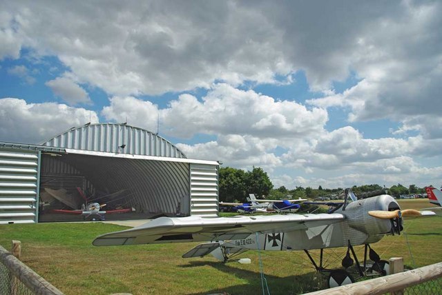
Damyns Hall Aerodrome
Damyns Hall Aerodrome (ICAO: EGML) is an operational general aviation training and experience aerodrome 2 nautical miles (3.7 km; 2.3 mi) south of Upminster...

Field hockey at the 1908 Summer Olympics
At the 1908 Summer Olympics, a field hockey tournament was contested for the first time. Six teams entered the tournament: England, Ireland, Scotland,...

Athletics at the 1908 Summer Olympics
At the 1908 Summer Olympics held in London, England, 26 athletics events were contested, all for men only. A total of 79 medals (27 gold, 27 silver, 25...
Archery at the 1908 Summer Olympics
At the 1908 Summer Olympics, three archery events were contested. Great Britain sent 41 archers (25 female and 16 male), France sent 15 men, and the United...

Diving at the 1908 Summer Olympics
At the 1908 Summer Olympics in London, two diving events were contested, both for men only. The competition was held on Tuesday July 14, 1908 and Friday...
Swimming at the 1908 Summer Olympics
At the 1908 Summer Olympics in London, six swimming events were contested. These were the first Olympic Games in which a 100-metre pool had been especially...
Gymnastics at the 1908 Summer Olympics
At the 1908 Summer Olympics, two gymnastics events for men were contested. No nation was successful in winning more than one medal. No women's competitions...

Football at the 1908 Summer Olympics
At the 1908 Summer Olympics in London, England, an official football tournament between national representative selections was contested for the first...
Nearby Amenities
Located within 500m of 51.519526,0.24303586Have you been to Cely Woods?
Leave your review of Cely Woods below (or comments, questions and feedback).