Harold Court Woods
Wood, Forest in Essex
England
Harold Court Woods

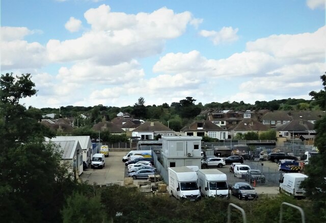
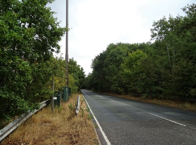
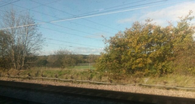
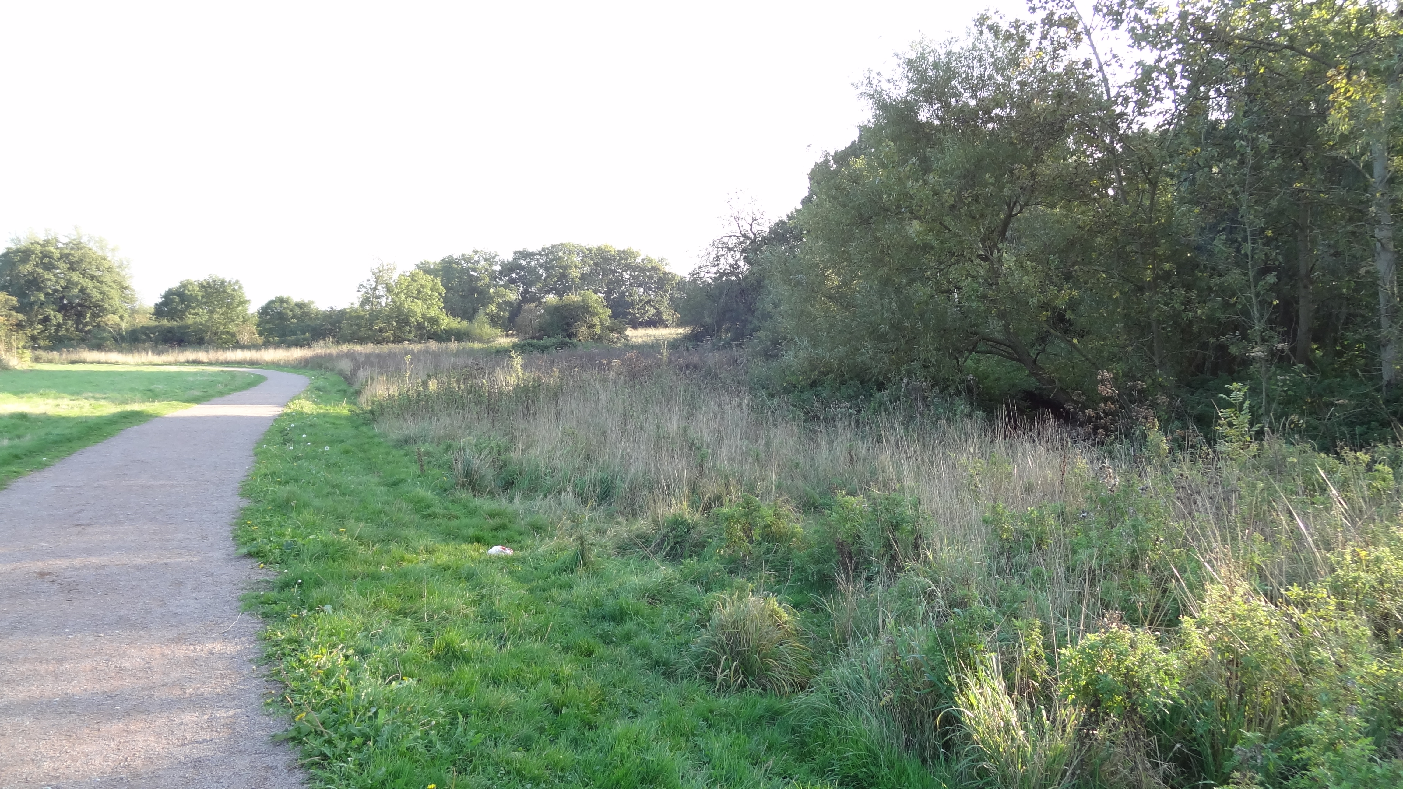
Harold Court Woods is a picturesque woodland located in the county of Essex, England. Spread across an area of approximately 60 acres, it is known for its natural beauty and tranquil atmosphere. The woods are situated near the town of Harold Wood and are easily accessible for visitors.
The woodland is characterized by a diverse range of trees, including oak, beech, and birch, which create a dense canopy overhead. This provides a haven for various species of wildlife, making it a popular destination for nature enthusiasts and birdwatchers. Visitors may have the opportunity to spot birds such as woodpeckers, nuthatches, and tawny owls, among others.
Harold Court Woods offers a network of well-maintained footpaths and trails, allowing visitors to explore the area at their own pace. The paths wind through the woods, leading to open clearings and secluded areas, offering a sense of tranquility and escape from the hustle and bustle of everyday life.
In addition to its natural beauty, the woods also hold historical significance. It is believed that Harold Court Woods were once part of the extensive Forest of Essex, which was a royal hunting ground during medieval times.
The woods are a popular destination for local residents and visitors alike, offering a peaceful retreat for walks, picnics, and nature observation. With its stunning scenery and rich biodiversity, Harold Court Woods is a true gem in the heart of Essex.
If you have any feedback on the listing, please let us know in the comments section below.
Harold Court Woods Images
Images are sourced within 2km of 51.596851/0.24704642 or Grid Reference TQ5591. Thanks to Geograph Open Source API. All images are credited.


Harold Court Woods is located at Grid Ref: TQ5591 (Lat: 51.596851, Lng: 0.24704642)
Unitary Authority: Havering
Police Authority: Metropolitan
What 3 Words
///vest.palm.hike. Near Harold Wood, London
Nearby Locations
Related Wikis

Harold Park
Harold Park is a place in the London Borough of Havering. == History == Harold Park is north-eastern part of Harold Wood, occupying an isthmus of land...

Tylers Common
Tylers Common, also known as Upminster Common, is common land in the London Borough of Havering. It is one of the largest areas of common land in Greater...
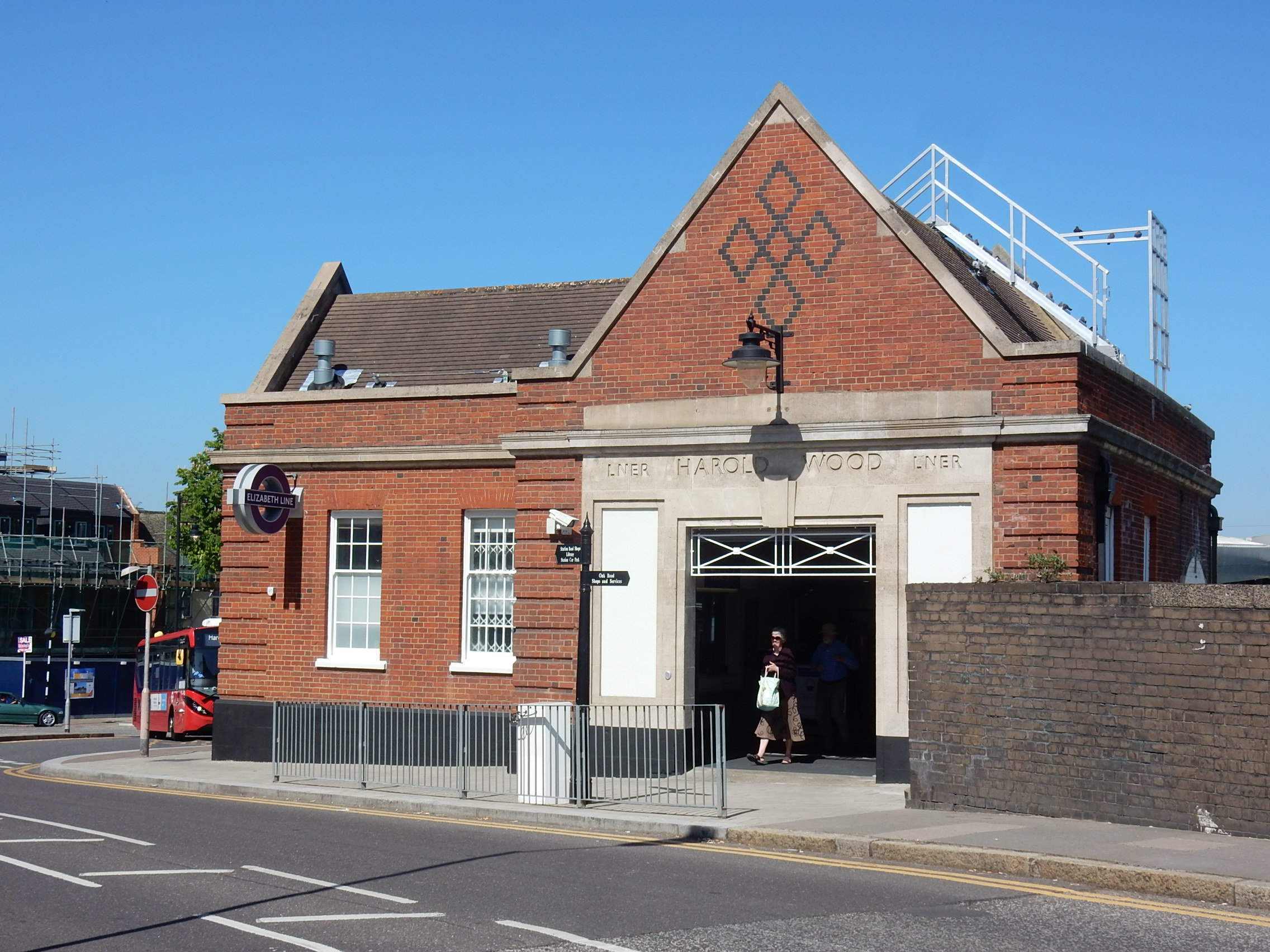
Harold Wood railway station
Harold Wood railway station is on the Great Eastern Main Line in east London, serving Harold Wood in the London Borough of Havering. It is 14 miles 76...
Pages Wood
Pages Wood is a 74 hectare wood and public park in Harold Wood in the London Borough of Havering. It is the largest Forestry England site in the Thames...
Harold Wood
Harold Wood is a suburban neighbourhood in East London in the London Borough of Havering. It is situated 16.5 miles (26.6 km) east-northeast of Charing...
Harold Wood Hospital
Harold Wood Hospital was a hospital in east London, United Kingdom. It was located in Gubbins Lane, Harold Wood in Romford, in the London Borough of Havering...
Redden Court School
Redden Court School is a secondary school with academy status located in Harold Wood, Romford, Havering, England. The school serves 866 students age 11...
King's Wood School
King's Wood School was a secondary school in Harold Hill near Romford, London Borough of Havering, England. It was a mixed school of non-denominational...
Nearby Amenities
Located within 500m of 51.596851,0.24704642Have you been to Harold Court Woods?
Leave your review of Harold Court Woods below (or comments, questions and feedback).