Cottage Hill Shaw

Wood, Forest in Sussex Wealden

England

Cottage Hill Shaw

Gable Oast, Argos Hill Single round kiln oast house.
Gable Oast, Argos Hill Credit: N Chadwick

Cottage Hill Shaw, Sussex is a charming woodland area located in the picturesque county of Sussex, England. Situated amidst the rolling hills and lush greenery, this secluded forest is a haven for nature enthusiasts and those seeking tranquility.

Covering an area of approximately 100 acres, Cottage Hill Shaw is known for its dense woodlands, towering trees, and diverse flora and fauna. The forest is primarily composed of oak, beech, and birch trees, which create a stunning canopy overhead, casting dappled sunlight on the forest floor.

The forest is crisscrossed by a network of walking trails and footpaths, allowing visitors to explore its natural beauty at their leisure. These trails wind through the forest, leading to hidden clearings, babbling brooks, and picturesque viewpoints. The peaceful ambiance of Cottage Hill Shaw makes it a popular spot for hiking, birdwatching, and nature photography.

The forest is home to a variety of wildlife, including deer, foxes, badgers, and a wide array of bird species. Birdwatchers can spot woodpeckers, owls, and various songbirds in their natural habitat. The tranquil atmosphere also attracts migratory birds, making it a popular destination for birdwatchers throughout the year.

Cottage Hill Shaw is also steeped in history, with remnants of ancient settlements and archaeological sites scattered throughout the forest. Visitors can stumble upon ancient burial mounds, standing stones, and other archaeological wonders, providing a glimpse into the region's rich past.

Overall, Cottage Hill Shaw offers a serene and immersive experience in the heart of Sussex's natural beauty, making it a must-visit destination for nature lovers and history enthusiasts alike.

If you have any feedback on the listing, please let us know in the comments section below.

Cottage Hill Shaw Images

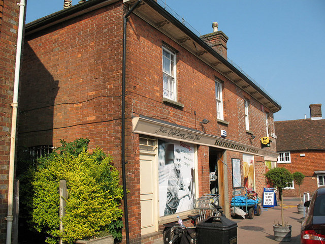
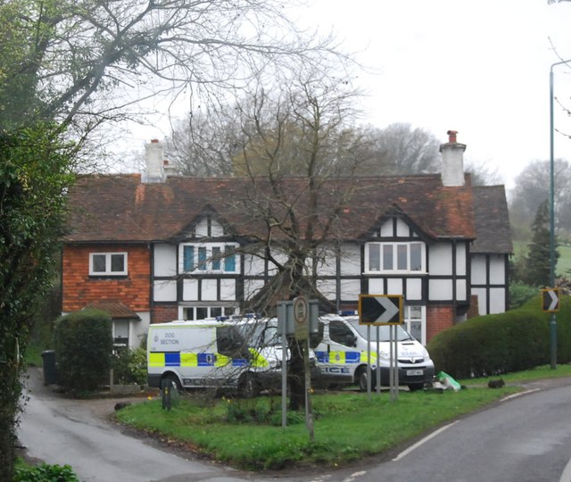
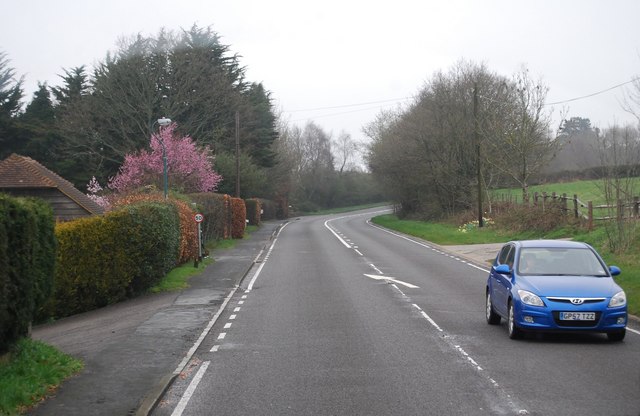
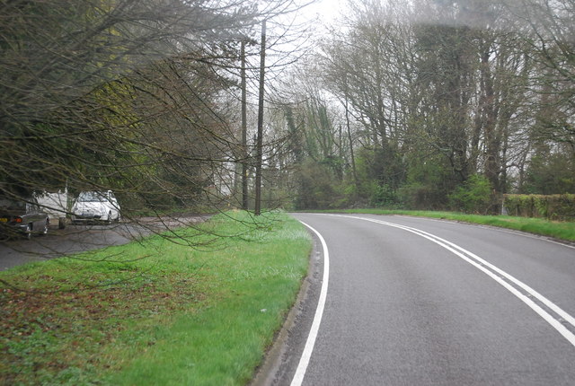
Images are sourced within 2km of 51.039963/0.21923621 or Grid Reference TQ5529. Thanks to Geograph Open Source API. All images are credited.

Gable Oast, Argos Hill Single round kiln oast house.
Gable Oast, Argos Hill
Single round kiln oast house.
Entering Argos Hill, A267 The A267 road is a 21 mile long road from Tunbridge Wells <a href="https://www.geograph.org.uk/photo/6669020">TQ5838 : A26, A267 junction</a> to Horsebridge.
Website: <span class="nowrap"><a title="http://www.sabre-roads.org.uk/wiki/index.php?title=A267" rel="nofollow ugc noopener" href="http://www.sabre-roads.org.uk/wiki/index.php?title=A267">Link</a><img style="margin-left:2px;" alt="External link" title="External link - shift click to open in new window" src="https://s1.geograph.org.uk/img/external.png" width="10" height="10"/></span>
Entering Argos Hill, A267
The A267 road is a 21 mile long road from Tunbridge Wells TQ5838 : A26, A267 junction to Horsebridge. Website: LinkExternal link
Mayfield Rd (A267) and Bicycle Arms Rd (B2101) junction, Argos Hill The A267 road is a 21 mile long road from Tunbridge Wells <a href="https://www.geograph.org.uk/photo/6669020">TQ5838 : A26, A267 junction</a> to Horsebridge.
Website: <span class="nowrap"><a title="http://www.sabre-roads.org.uk/wiki/index.php?title=A267" rel="nofollow ugc noopener" href="http://www.sabre-roads.org.uk/wiki/index.php?title=A267">Link</a><img style="margin-left:2px;" alt="External link" title="External link - shift click to open in new window" src="https://s1.geograph.org.uk/img/external.png" width="10" height="10"/></span>
Mayfield Rd (A267) and Bicycle Arms Rd (B2101) junction, Argos Hill
The A267 road is a 21 mile long road from Tunbridge Wells TQ5838 : A26, A267 junction to Horsebridge. Website: LinkExternal link
Catts Inn, Rotherfield The inn, on the Square at the end of the High Street, bears a date of 1741.  The Union Flags were probably flying as it was the day after St George's Day.
Catts Inn, Rotherfield
The inn, on the Square at the end of the High Street, bears a date of 1741. The Union Flags were probably flying as it was the day after St George's Day.
Rotherfield Stores A general store on The Square in the centre of the village.
Rotherfield Stores
A general store on The Square in the centre of the village.
Police vans outside a Cottage in Argos Hill
Mayfield Rd (A267) and Bicycle Arms  Junction
Mayfield Rd (A267) and Bicycle Arms Junction
A267, Tunbridge Wells Rd The A267 road is a 21 mile long road from Tunbridge Wells <a href="https://www.geograph.org.uk/photo/6669020">TQ5838 : A26, A267 junction</a> to Horsebridge.
Website: <span class="nowrap"><a title="http://www.sabre-roads.org.uk/wiki/index.php?title=A267" rel="nofollow ugc noopener" href="http://www.sabre-roads.org.uk/wiki/index.php?title=A267">Link</a><img style="margin-left:2px;" alt="External link" title="External link - shift click to open in new window" src="https://s1.geograph.org.uk/img/external.png" width="10" height="10"/></span>
A267, Tunbridge Wells Rd
The A267 road is a 21 mile long road from Tunbridge Wells TQ5838 : A26, A267 junction to Horsebridge. Website: LinkExternal link
Tunbridge Wells Rd (A267) The A267 road is a 21 mile long road from Tunbridge Wells <a href="https://www.geograph.org.uk/photo/6669020">TQ5838 : A26, A267 junction</a> to Horsebridge.
Website: <span class="nowrap"><a title="http://www.sabre-roads.org.uk/wiki/index.php?title=A267" rel="nofollow ugc noopener" href="http://www.sabre-roads.org.uk/wiki/index.php?title=A267">Link</a><img style="margin-left:2px;" alt="External link" title="External link - shift click to open in new window" src="https://s1.geograph.org.uk/img/external.png" width="10" height="10"/></span>
Tunbridge Wells Rd (A267)
The A267 road is a 21 mile long road from Tunbridge Wells TQ5838 : A26, A267 junction to Horsebridge. Website: LinkExternal link
St Denys, Rotherfield
St Denys, Rotherfield - Interior
St Denys, Rotherfield - Pulpit
St Denys, Rotherfield - Sanctuary
St Denys, Rotherfield - North chapel
St Denys, Rotherfield - Reredos
St Denys, Rotherfield - Stained glass window
Show me another place!

Cottage Hill Shaw is located at Grid Ref: TQ5529 (Lat: 51.039963, Lng: 0.21923621)

Administrative County: East Sussex

District: Wealden

Police Authority: Sussex

What 3 Words

///sneezed.uttering.banana. Near Town Row, East Sussex

Related Wikis

Rotherfield

Rotherfield is a village and civil parish in the Wealden District of East Sussex, England. It is one of the largest parishes in East Sussex. There are...

Rotherfield and Mark Cross railway station

Rotherfield and Mark Cross (also Rotherfield) is the name of a closed station on the Eridge - Heathfield - Polegate railway (the Cuckoo Line) in East Sussex...

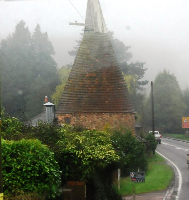
Argos Hill Mill, Mayfield

Argos Hill Mill is a grade II* listed post mill at Argos Hill, Mayfield, East Sussex, England As of 2017 it is in the process of restoration by the Argos...

Crowborough railway station

Crowborough railway station is on the Uckfield branch of the Oxted Line in England, serving the town of Crowborough, East Sussex. It is 39 miles 11 chains...

Jarvis Brook

Jarvis Brook is a village between Crowborough and Rotherfield in the Borough of Wealden East Sussex. Crowborough Railway Station, on the Uckfield branch...

Jameah Islameah School

Jameah Islameah School was an independent Islamic school in East Sussex. The school was located on a 54 acre site and had residential facilities to house...

St Joseph's College, Mark Cross

St Joseph's College was a Roman Catholic minor seminary in Mark Cross, outside Rotherfield in East Sussex. It was designed by Edward Pugin and the site...

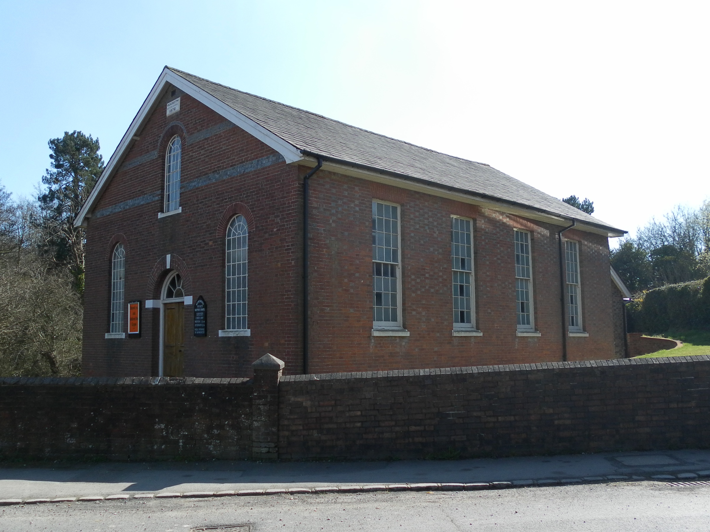
Rehoboth Chapel, Jarvis Brook

The Rehoboth Chapel is a Strict Baptist place of worship in the village of Jarvis Brook in the English county of East Sussex. The red- and blue-brick building...

Nearby Amenities

Located within 500m of 51.039963,0.21923621
Place Of Worship
St Peter's Roman Catholic Church
Denomination: roman_catholic
Node Id: 1145707777
Religion: christian
Source: OS OpenData StreetView
Source Name: OS Open Local Important Buildings Layer
Lat/Long: 51.0419185/0.2164686
Post Box
Operator: Royal Mail
Post Box Type: lamp
Ref: TN6 161D
Royal Cypher: EIIR
Royal Cypher Wikidata: Q33102113
Lat/Long: 51.0411318/0.2168298
High Cross
Place: hamlet
Lat/Long: 51.0387967/0.2214271
Give Way
Direction: backward
Lat/Long: 51.0406609/0.21673
The data included in this document is from www.openstreetmap.org. The data is made available under ODbL.

Have you been to Cottage Hill Shaw?

Leave your review of Cottage Hill Shaw below (or comments, questions and feedback).