Sage Wood
Wood, Forest in Essex
England
Sage Wood

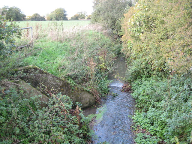
Sage Wood, located in Essex, England, is a charming forest area known for its natural beauty and tranquil atmosphere. Spanning over 100 acres, this woodland is a popular destination for nature lovers and outdoor enthusiasts.
The forest is predominantly composed of deciduous trees, such as oak, beech, and birch, creating a lush and vibrant environment. The dense foliage provides ample shade during the warmer months, making it an ideal spot for picnics and leisurely walks. The forest floor is covered in a carpet of moss, ferns, and wildflowers, adding to the picturesque scenery.
Sage Wood is home to a diverse range of wildlife, including various bird species, squirrels, rabbits, and deer. Birdwatchers can spot species like the great spotted woodpecker, tawny owl, and blue tit among the dense treetops. The forest also provides a habitat for smaller mammals, such as foxes and badgers.
There are several well-marked trails and paths throughout the woodland, allowing visitors to explore the area at their own pace. These paths lead to tranquil clearings, hidden streams, and small ponds, offering peaceful spots for relaxation and reflection. The forest also accommodates activities like cycling, horseback riding, and jogging, drawing in a diverse range of visitors.
Sage Wood is easily accessible, with ample parking facilities and well-maintained entrances. The forest is open to the public year-round, with no admission fee. Visitors are encouraged to respect the natural environment and adhere to any posted regulations to ensure the preservation of this beautiful woodland for future generations to enjoy.
If you have any feedback on the listing, please let us know in the comments section below.
Sage Wood Images
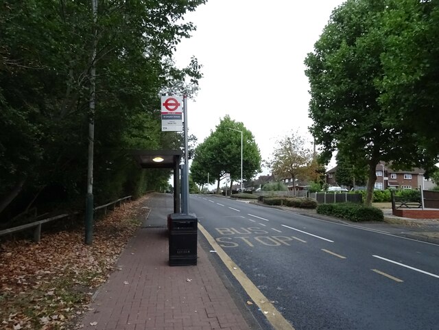
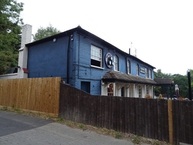
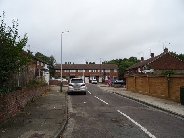
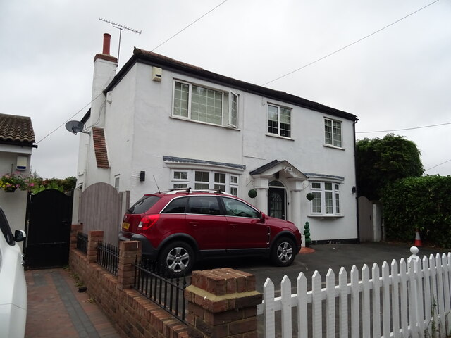
Images are sourced within 2km of 51.607991/0.23589782 or Grid Reference TQ5492. Thanks to Geograph Open Source API. All images are credited.


Sage Wood is located at Grid Ref: TQ5492 (Lat: 51.607991, Lng: 0.23589782)
Unitary Authority: Havering
Police Authority: Metropolitan
What 3 Words
///deeper.offers.lock. Near Harold Wood, London
Nearby Locations
Related Wikis

Harold Hill
Harold Hill is a suburban area in the London Borough of Havering, East London. 16.6 miles (26.7 km) northeast of Charing Cross. It is a district centre...

King's Wood School
King's Wood School was a secondary school in Harold Hill near Romford, London Borough of Havering, England. It was a mixed school of non-denominational...
Drapers' Academy
Drapers' Academy is a secondary school for girls and boys, from years 7 to 13 sixth form with academy status, located in Harold Hill near Romford, Greater...

Dagnam Park
Dagnam Park is a public park located in Harold Hill in the London Borough of Havering. It is a remnant of the grounds of Dagnams Park, the house of the...
Harold Park
Harold Park is a place in the London Borough of Havering. == History == Harold Park is north-eastern part of Harold Wood, occupying an isthmus of land...

Noak Hill
Noak Hill is a village in outer East London, in the London Borough of Havering. It is located 17.1 miles northeast of Charing Cross. == History == Noak...
Weald Brook
Weald Brook is a water course in the parliamentary constituency of Hornchurch and Upminster. Weald Brook flows into the River Ingrebourne. Weald Brook...
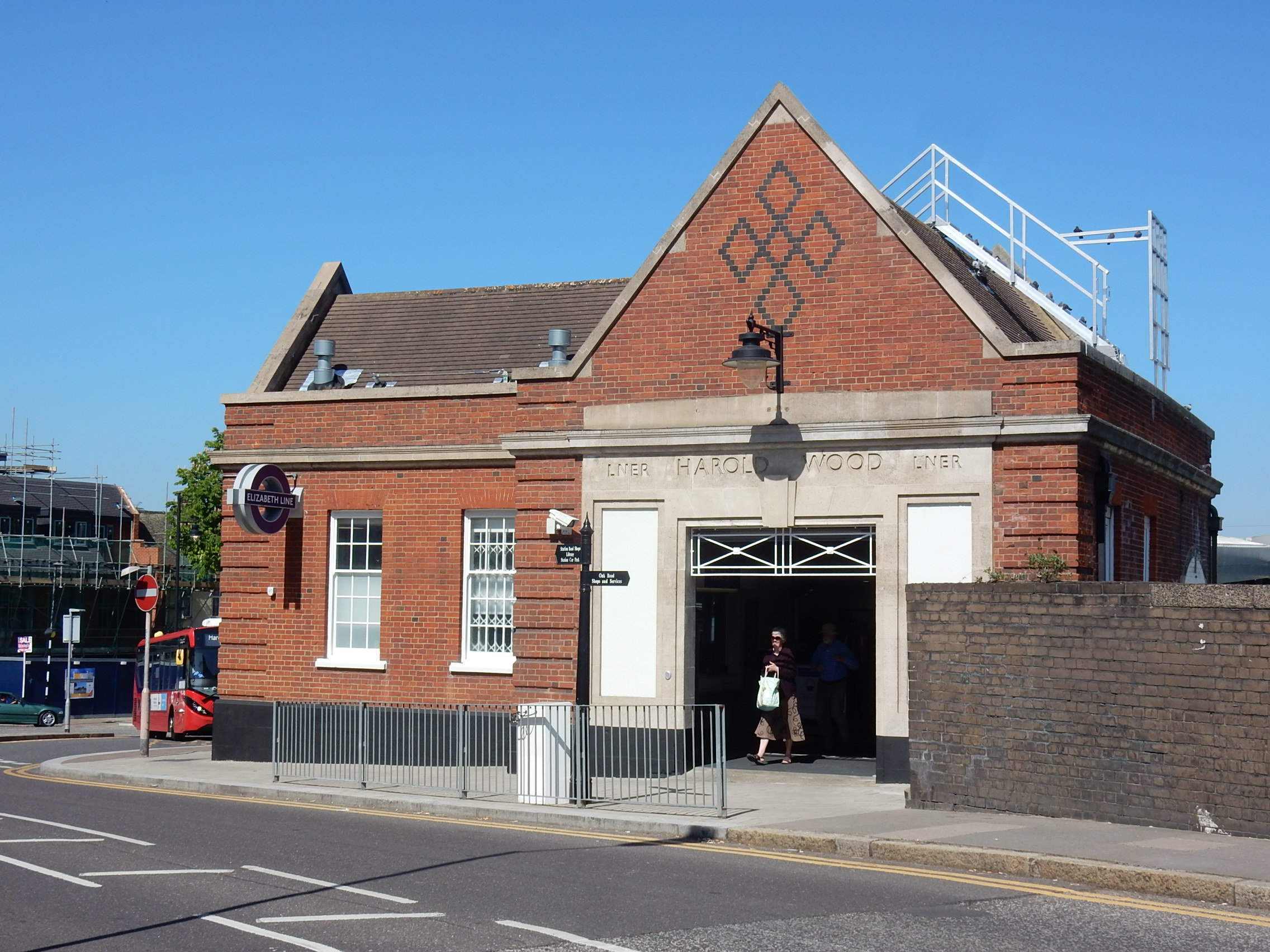
Harold Wood railway station
Harold Wood railway station is on the Great Eastern Main Line in east London, serving Harold Wood in the London Borough of Havering. It is 14 miles 76...
Nearby Amenities
Located within 500m of 51.607991,0.23589782Have you been to Sage Wood?
Leave your review of Sage Wood below (or comments, questions and feedback).