Alder Shaw
Wood, Forest in Sussex Wealden
England
Alder Shaw
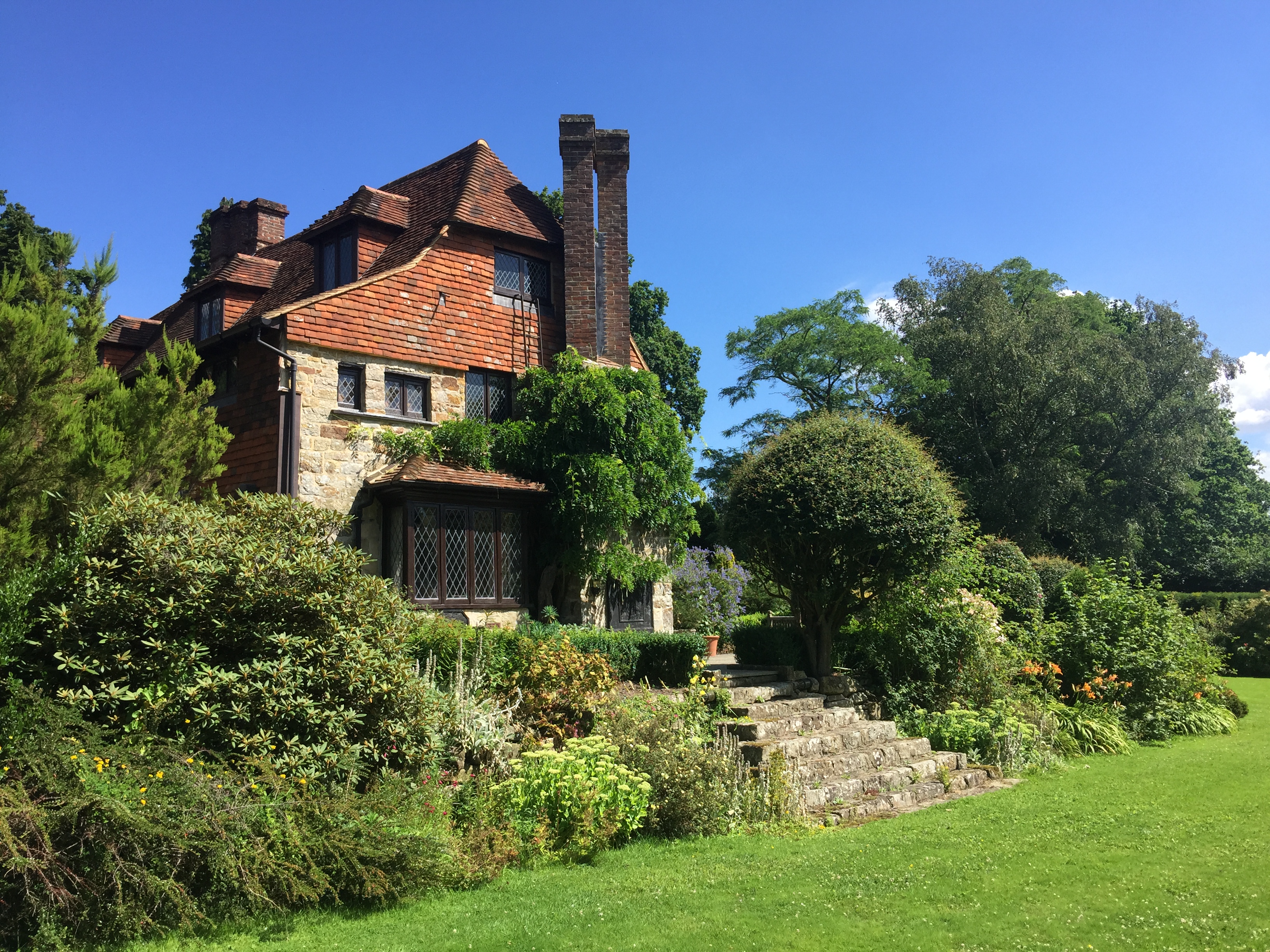
Alder Shaw is a small village located in the county of Sussex, England. Situated in the heart of a dense wood and surrounded by a picturesque forest, it offers a serene and tranquil environment for residents and visitors alike. The village is known for its natural beauty, with towering alder trees lining the streets and providing shade during the summer months.
The community of Alder Shaw is close-knit and friendly, with a population of approximately 500 residents. The village is primarily residential, with a scattering of small businesses, such as a local bakery and a quaint tea room. The architecture in Alder Shaw reflects its rich history, with many houses dating back to the 18th century, showcasing traditional English design.
The forest surrounding the village is a popular destination for nature enthusiasts and hikers. It is home to an array of wildlife, including deer, squirrels, and various bird species. Visitors can explore the numerous walking trails that meander through the forest, offering breathtaking views of the countryside.
Despite its rural setting, Alder Shaw is well-connected to nearby towns and cities. It is situated just a short drive from the bustling town of Sussex, where residents can access a wider range of amenities, including shopping centers, schools, and healthcare facilities.
In summary, Alder Shaw is a charming village nestled in the woodlands of Sussex. With its natural beauty, friendly community, and proximity to amenities, it offers an idyllic retreat for those seeking a peaceful and picturesque lifestyle.
If you have any feedback on the listing, please let us know in the comments section below.
Alder Shaw Images
Images are sourced within 2km of 51.042755/0.20857022 or Grid Reference TQ5429. Thanks to Geograph Open Source API. All images are credited.


Alder Shaw is located at Grid Ref: TQ5429 (Lat: 51.042755, Lng: 0.20857022)
Administrative County: East Sussex
District: Wealden
Police Authority: Sussex
What 3 Words
///browsers.renamed.surcharge. Near Town Row, East Sussex
Nearby Locations
Related Wikis

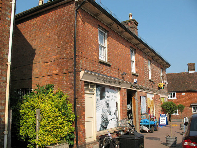
Rotherfield
Rotherfield is a village and civil parish in the Wealden District of East Sussex, England. It is one of the largest parishes in East Sussex. There are...

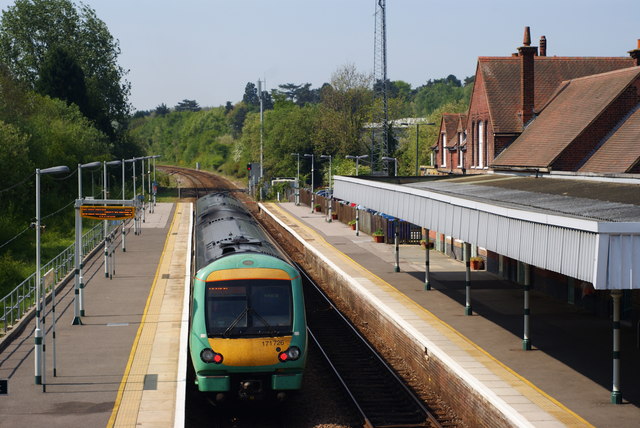
Crowborough railway station
Crowborough railway station is on the Uckfield branch of the Oxted Line in England, serving the town of Crowborough, East Sussex. It is 39 miles 11 chains...

Jarvis Brook
Jarvis Brook is a village between Crowborough and Rotherfield in the Borough of Wealden East Sussex. Crowborough Railway Station, on the Uckfield branch...

Rotherfield and Mark Cross railway station
Rotherfield and Mark Cross (also Rotherfield) is the name of a closed station on the Eridge - Heathfield - Polegate railway (the Cuckoo Line) in East Sussex...
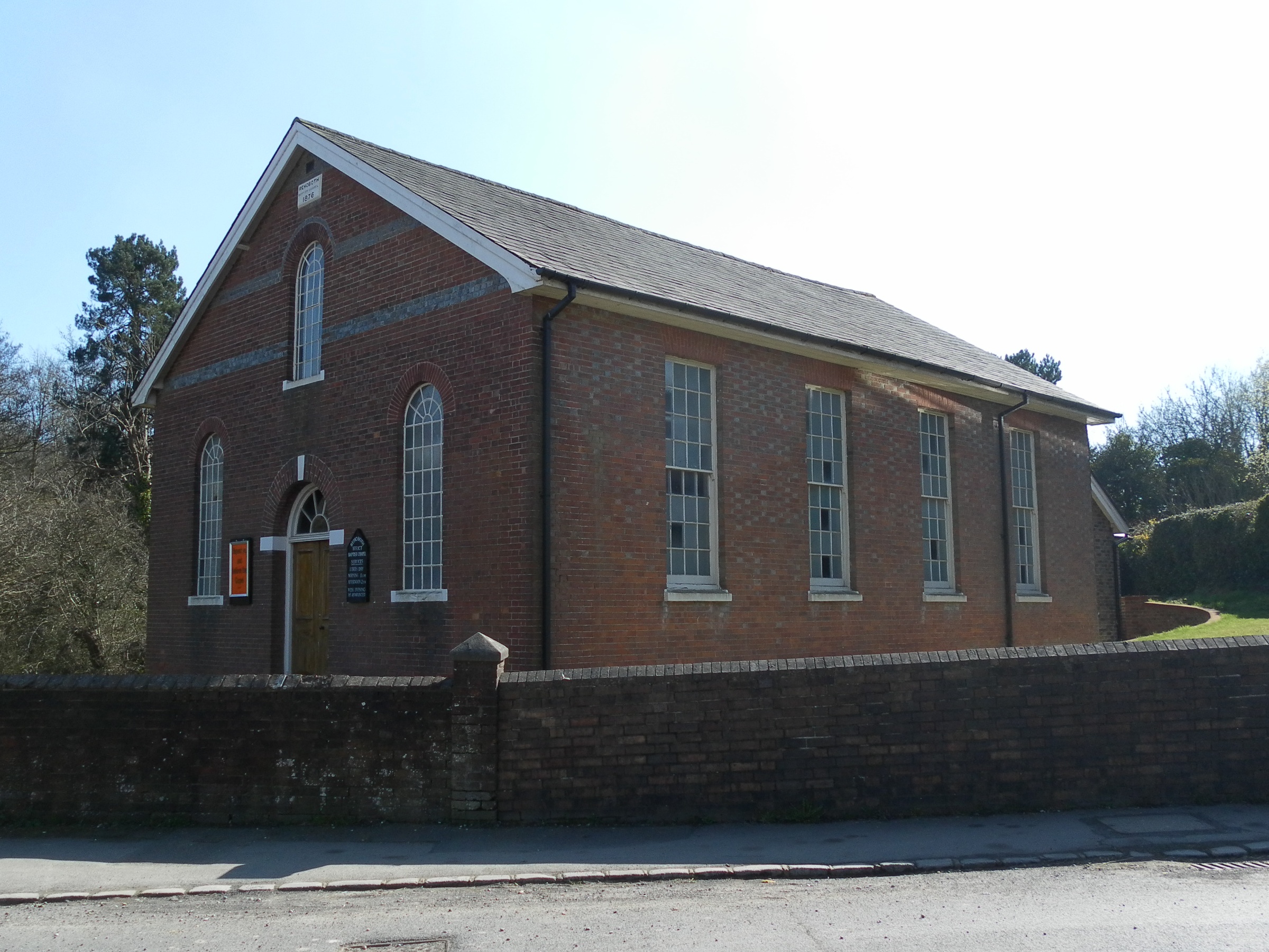
Rehoboth Chapel, Jarvis Brook
The Rehoboth Chapel is a Strict Baptist place of worship in the village of Jarvis Brook in the English county of East Sussex. The red- and blue-brick building...

Crowborough Country Park
Crowborough Country Park is a 7.3-hectare (18-acre) Local Nature Reserve on the western outskirts of Crowborough in East Sussex. It is owned and managed...

Argos Hill Mill, Mayfield
Argos Hill Mill is a grade II* listed post mill at Argos Hill, Mayfield, East Sussex, England As of 2017 it is in the process of restoration by the Argos...
Luxford House
Luxford House is a 16th-century Grade II listed building near Crowborough, East Sussex. It is near the 11.5-acre (4.7 ha) Luxford Farm. It was used by...
Nearby Amenities
Located within 500m of 51.042755,0.20857022Have you been to Alder Shaw?
Leave your review of Alder Shaw below (or comments, questions and feedback).