Hartnips Wood
Wood, Forest in Kent Sevenoaks
England
Hartnips Wood
Hartnips Wood is a charming woodland located in the county of Kent, England. Situated on the outskirts of a small village, the wood covers an area of approximately 50 acres and is a popular destination for nature lovers and outdoor enthusiasts.
The wood is predominantly made up of oak and beech trees, creating a dense and picturesque forest canopy. The foliage offers a stunning display of colors during the autumn season, attracting visitors from far and wide. In addition to the native trees, there is also an abundance of wildflowers, ferns, and mosses that thrive in the woodland's damp and shady environment.
Hartnips Wood is home to a diverse range of wildlife, making it a haven for animal enthusiasts. Visitors may spot a variety of bird species, such as woodpeckers, owls, and robins, as well as small mammals like squirrels and rabbits. The wood also provides a habitat for several species of bats, which can often be seen at dusk.
The wood is crisscrossed with a network of well-maintained footpaths, allowing visitors to explore and enjoy the tranquil surroundings. There are also several picnic areas and benches scattered throughout the wood, providing the perfect spot for a peaceful lunch or a moment of relaxation.
Hartnips Wood is easily accessible by car or public transport, with ample parking available nearby. It is a popular destination for families, walkers, and nature enthusiasts seeking a peaceful retreat in the heart of the Kent countryside.
If you have any feedback on the listing, please let us know in the comments section below.
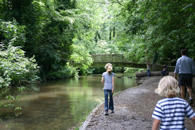
Hartnips Wood Images
Images are sourced within 2km of 51.350631/0.21919414 or Grid Reference TQ5463. Thanks to Geograph Open Source API. All images are credited.


Hartnips Wood is located at Grid Ref: TQ5463 (Lat: 51.350631, Lng: 0.21919414)
Administrative County: Kent
District: Sevenoaks
Police Authority: Kent
What 3 Words
///nation.ladder.places. Near Eynsford, Kent
Nearby Locations
Related Wikis

Maplescombe
Maplescombe is a hamlet in the West Kingsdown civil parish, in the Sevenoaks District, in the county of Kent, England. == Location == It is about eight...
East Hill, Kent
East Hill is a hamlet in the civil parish of West Kingsdown, in the Sevenoaks District, in the county of Kent in England. == Location == East Hill is about...

Eynsford
Eynsford ( or ) is a village and civil parish in the Sevenoaks District of Kent, England. It is located 3.3 miles (5 km) south east of Swanley, 7 miles...

Preston Hill Country Park
Preston Hill Country Park is in Eynsford, in Kent, England. It is a woodland and former military firing range. Within the site of the park and woodland...

Eynsford railway station
Eynsford railway station serves Eynsford in Kent, England. It is 20 miles 32 chains (32.8 km) down the line from London Victoria and is situated between...

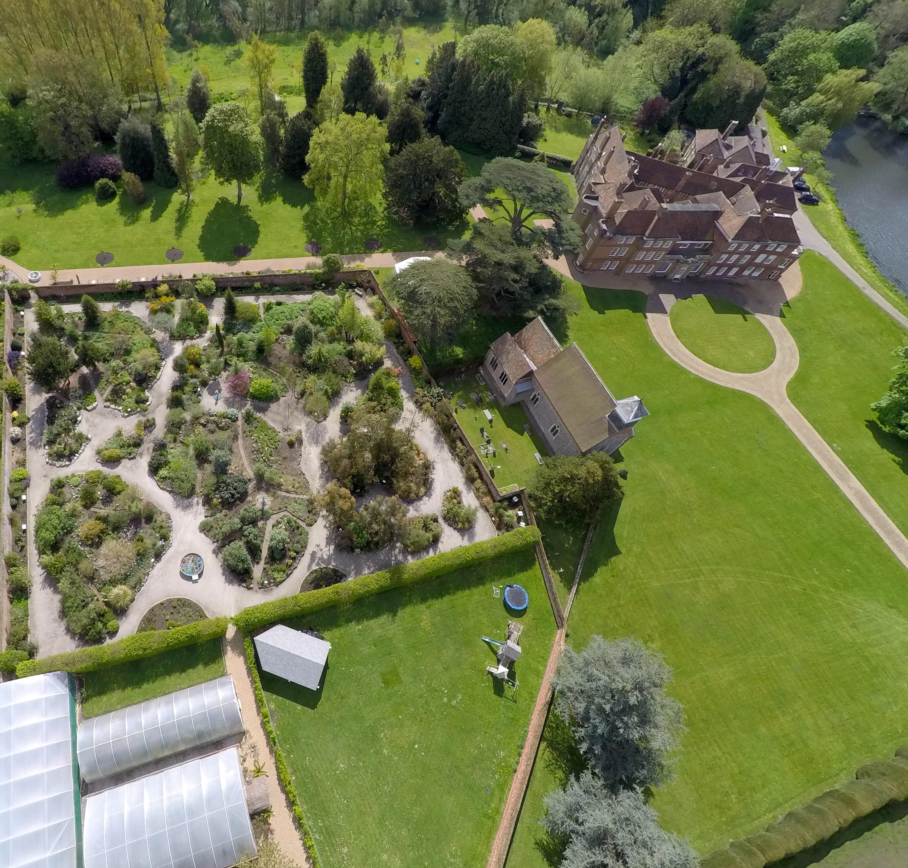
St Botolph's Church, Lullingstone
St Botolph's Church is an Anglican church in the village of Lullingstone, in Kent, England, situated on the lawn of Lullingstone Castle. It dates from...
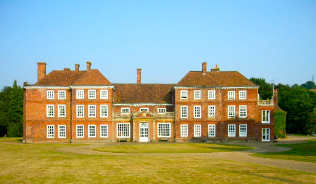
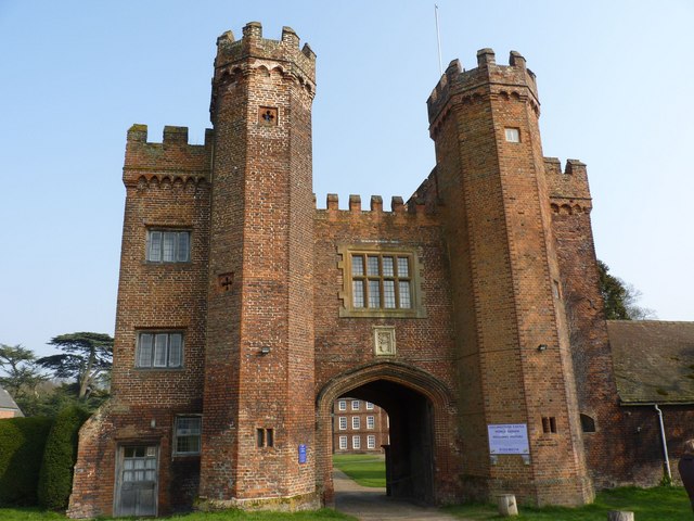
Lullingstone Castle
Lullingstone Castle is a historic manor house, set in an estate in the village of Lullingstone and the civil parish of Eynsford in the English county of...
Lullingstone
Lullingstone is a village in the county of Kent, England. It is best known for its castle, Roman villa and its public golf course. Lullingstone was a civil...
Nearby Amenities
Located within 500m of 51.350631,0.21919414Have you been to Hartnips Wood?
Leave your review of Hartnips Wood below (or comments, questions and feedback).