Appleton Plantation

Wood, Forest in Cambridgeshire South Cambridgeshire

England

Appleton Plantation

Towards Fulbourn on Wilbraham Road A cloudless December morning. These fields are some of the southernmost in the Cambridgeshire Fens.
Towards Fulbourn on Wilbraham Road Credit: John Sutton

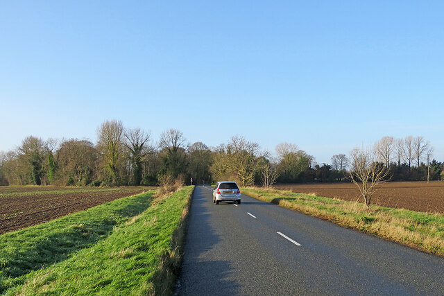
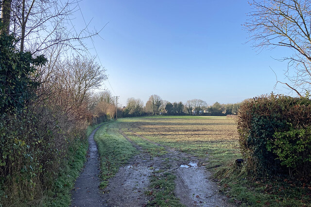
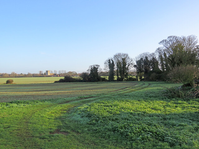
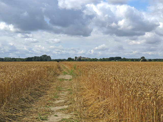
Appleton Plantation is a picturesque woodland area located in the county of Cambridgeshire, England. Spanning over 100 acres, this enchanting forest is situated near the charming village of Appleton, offering visitors a tranquil escape from the bustling city life.

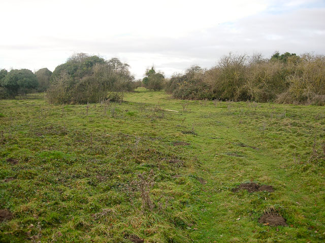
The plantation is predominantly composed of lush, ancient woodlands, characterized by a diverse range of tree species, including oak, beech, and birch. The dense canopy provides a haven for an array of flora and fauna, creating a thriving ecosystem within the plantation.

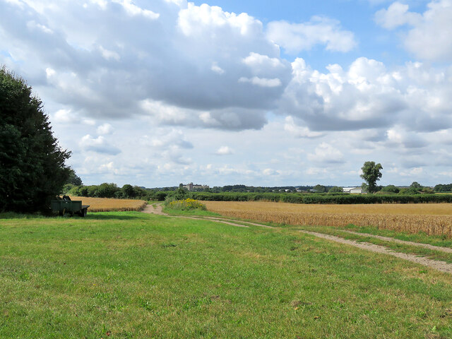
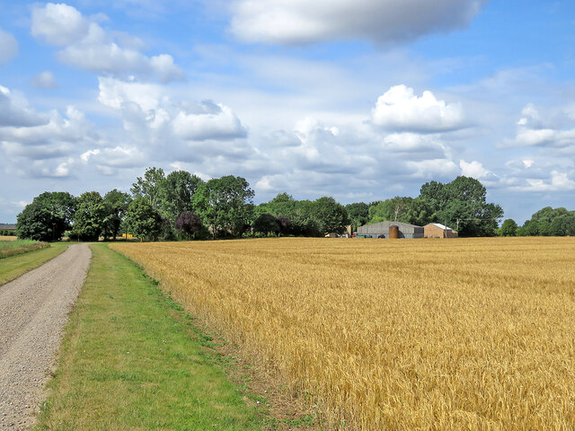
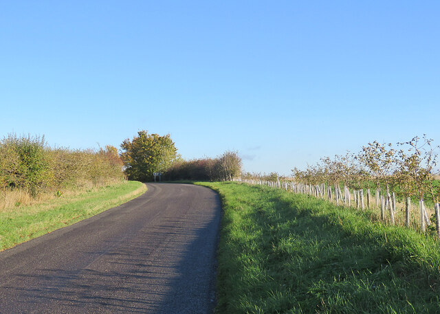
Walking trails wind through the woodland, allowing visitors to explore the natural beauty of the area at their own pace. The pathways are well-maintained, making it accessible to all nature enthusiasts, from casual strollers to avid hikers. Along the trails, one can encounter a variety of wildlife, such as deer, squirrels, and an abundance of bird species.

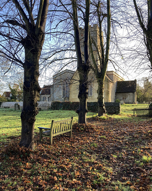
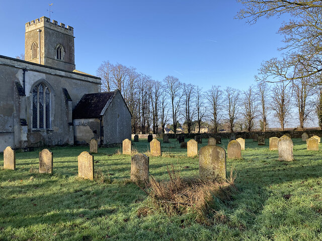
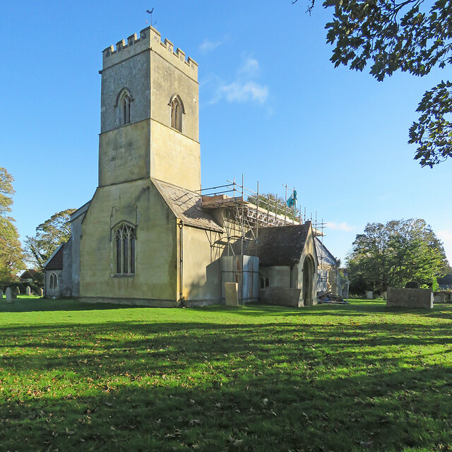
Appleton Plantation also boasts a rich history. It has been owned and managed by the same family for generations, with records dating back to the 18th century. The plantation's heritage is evident in the well-preserved remnants of old estate buildings, including a charming Victorian-era cottage that adds to the area's charm and character.

In addition to its natural and historical attractions, the plantation is also a popular spot for outdoor recreational activities. Picnic areas are scattered throughout the woodland, providing the perfect setting for families and friends to enjoy a leisurely meal amidst the serenity of nature.

Overall, Appleton Plantation offers a captivating blend of natural beauty, historical significance, and recreational opportunities, making it a beloved destination for locals and tourists alike.

If you have any feedback on the listing, please let us know in the comments section below.

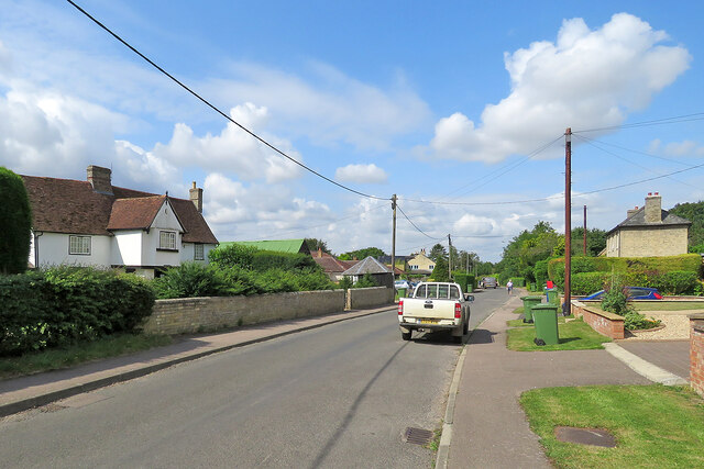
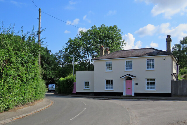
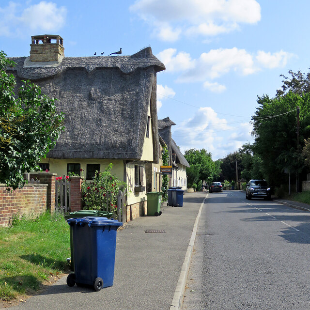
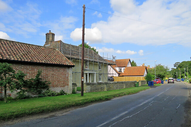
Appleton Plantation Images

Images are sourced within 2km of 52.191264/0.25321566 or Grid Reference TL5457. Thanks to Geograph Open Source API. All images are credited.

Towards Fulbourn on Wilbraham Road A cloudless December morning. These fields are some of the southernmost in the Cambridgeshire Fens.
Towards Fulbourn on Wilbraham Road
A cloudless December morning. These fields are some of the southernmost in the Cambridgeshire Fens.
Great Wilbraham: road ends and path begins This is where the metalled road ends and Toft Lane continues as a path to the Cambridge road near the western edge of this Fenland village.
Great Wilbraham: road ends and path begins
This is where the metalled road ends and Toft Lane continues as a path to the Cambridge road near the western edge of this Fenland village.
Little Wilbraham churchyard in December St John's is an endearing church with a north aisle (left of the tower in this view) as large as the nave.
Little Wilbraham churchyard in December
St John's is an endearing church with a north aisle (left of the tower in this view) as large as the nave.
Little Wilbraham: the north side of the churchyard A cloudless December morning in a village near the southern edge of the Cambridgeshire Fens.
Little Wilbraham: the north side of the churchyard
A cloudless December morning in a village near the southern edge of the Cambridgeshire Fens.
Little Wilbraham: St John's Church A pleasing mediaeval church whose rebuilt chancel dates from 1850. The photograph was taken on a fine morning in December.
Little Wilbraham: St John's Church
A pleasing mediaeval church whose rebuilt chancel dates from 1850. The photograph was taken on a fine morning in December.
Great Wilbraham: St Nicholas's Church and burial ground Photographed from Angle End on a cloudless December morning.
Great Wilbraham: St Nicholas's Church and burial ground
Photographed from Angle End on a cloudless December morning.
Great Wilbraham: church and cricket square Looking across the recreation ground from Angle End on a cloudless December morning. The cricket square is roped off for the winter.
Great Wilbraham: church and cricket square
Looking across the recreation ground from Angle End on a cloudless December morning. The cricket square is roped off for the winter.
Great Wilbraham: silver birch and Angle End Farmhouse Angle End on a bright December morning.
Great Wilbraham: silver birch and Angle End Farmhouse
Angle End on a bright December morning.
Great Wilbraham: over the fields to St Nicholas's Church Photographed from just inside an open farm gate on a sparkling December morning.
Great Wilbraham: over the fields to St Nicholas's Church
Photographed from just inside an open farm gate on a sparkling December morning.
Through wheat to Fulbourn This path - always well defined - runs from Hawk Mill Farm at Little Wilbraham to Fulbourn (ahead). These fields are near the southern end of the Cambridgeshire Fens and are not so pancake-flat as those further north. Comparable views: <a href="https://www.geograph.org.uk/photo/5499134">TL5357 : Path through beans</a> and <a href="https://www.geograph.org.uk/photo/6462676">TL5357 : Footpath to Fulbourn</a>.
Through wheat to Fulbourn
This path - always well defined - runs from Hawk Mill Farm at Little Wilbraham to Fulbourn (ahead). These fields are near the southern end of the Cambridgeshire Fens and are not so pancake-flat as those further north. Comparable views: TL5357 : Path through beans and TL5357 : Footpath to Fulbourn.
From Hawk Mill Farm to Fulbourn The farm track is shared by the public footpath to Fulbourn, which diverges to the left 150 yards or so ahead. The S&B Herba plant on Station Road in Fulbourn shows on the skyline just to the left of centre.
From Hawk Mill Farm to Fulbourn
The farm track is shared by the public footpath to Fulbourn, which diverges to the left 150 yards or so ahead. The S&B Herba plant on Station Road in Fulbourn shows on the skyline just to the left of centre.
Little Wilbraham: a barley field at Hawk Mill Farm The farm road is shared by a public footpath, which passes through the farmyard. Thereafter, turn left for Fulbourn or right to Quy, both pleasant routes.
Little Wilbraham: a barley field at Hawk Mill Farm
The farm road is shared by a public footpath, which passes through the farmyard. Thereafter, turn left for Fulbourn or right to Quy, both pleasant routes.
Little Wilbraham High Street A sunny early-August morning which was about to cloud over. For a better idea of the Grade II listed 16th-century house on the left, see <a href="https://www.geograph.org.uk/photo/5312748">TL5458 : Little Wilbraham: White Hall</a>. I was taken by the bright green corrugated-iron roof of the outbuildings next door and the post box's vivid splash of red opposite.
Little Wilbraham High Street
A sunny early-August morning which was about to cloud over. For a better idea of the Grade II listed 16th-century house on the left, see TL5458 : Little Wilbraham: White Hall. I was taken by the bright green corrugated-iron roof of the outbuildings next door and the post box's vivid splash of red opposite.
Great Wilbraham: a pink front door Clare House, at the corner of High Street, Angle End (left) and Butt Lane (right), has been repainted since I last pointed a camera in this direction, in January 2015: <a href="https://www.geograph.org.uk/photo/4311518">TL5557 : A January morning in Great Wilbraham</a>.
Great Wilbraham: a pink front door
Clare House, at the corner of High Street, Angle End (left) and Butt Lane (right), has been repainted since I last pointed a camera in this direction, in January 2015: TL5557 : A January morning in Great Wilbraham.
Great Wilbraham: recycling bins day Blue (recyclable card, paper, metal, glass and plastic) and green (compostable garden and kitchen waste) bins are waiting to be collected. The timber-framed houses are some of a good number of Grade II listed historic houses in the village.
Great Wilbraham: recycling bins day
Blue (recyclable card, paper, metal, glass and plastic) and green (compostable garden and kitchen waste) bins are waiting to be collected. The timber-framed houses are some of a good number of Grade II listed historic houses in the village.
Great Wilbraham: scaffolding at Rookery Farm The Grade II listed farmhouse is 17th-century in origin, with a front remodelled in the nineteenth. The farm's 17th-century barn (now housing and out of the picture to the left) is also Grade II listed - see <a href="https://www.geograph.org.uk/photo/5720544">TL5457 : Great Wilbraham: a barn conversion</a>.  This is the road to Fulbourn and Cambridge.
Great Wilbraham: scaffolding at Rookery Farm
The Grade II listed farmhouse is 17th-century in origin, with a front remodelled in the nineteenth. The farm's 17th-century barn (now housing and out of the picture to the left) is also Grade II listed - see TL5457 : Great Wilbraham: a barn conversion. This is the road to Fulbourn and Cambridge.
Little Wilbraham: on Primrose Farm Road Leaving the village on a sunny November morning.
Little Wilbraham: on Primrose Farm Road
Leaving the village on a sunny November morning.
Little Wilbraham: restoration of the parish church One of the large south windows in the nave - the one next to the porch - is being renewed. Robin Webster's <a href="https://www.geograph.org.uk/photo/5064375">TL5458 : Little Wilbraham church</a> shows the south side clearly.
Little Wilbraham: restoration of the parish church
One of the large south windows in the nave - the one next to the porch - is being renewed. Robin Webster's TL5458 : Little Wilbraham church shows the south side clearly.
Show me another place!

Appleton Plantation is located at Grid Ref: TL5457 (Lat: 52.191264, Lng: 0.25321566)

Administrative County: Cambridgeshire

District: South Cambridgeshire

Police Authority: Cambridgeshire

What 3 Words

///bongo.hourglass.agenda. Near Fulbourn, Cambridgeshire

Related Wikis

Great Wilbraham Common

Great Wilbraham Common is a 23.5-hectare (58-acre) biological Site of Special Scientific Interest west of Great Wilbraham in Cambridgeshire. It is managed...

Great Wilbraham Preceptory

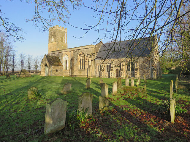
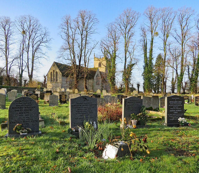
Great Wilbraham Preceptory is a preceptory in Great and Little Wilbraham, Cambridgeshire. Much of the Church of Saint Nicholas at Great Wilbraham dates...

Great Wilbraham

Great Wilbraham is a small village situated in a rural area some seven miles (11 km) to the east of Cambridge, between the edge of an area of low-lying...

Zouches Manor

Zouches Manor (also Zouches Castle) was an Anglo-Saxon moated manor in Fulbourn Fen, a Site of Special Scientific Interest in the village of Fulbourn,...

Fulbourn Fen

Fulbourn Fen is a 27.3-hectare (67-acre) biological Site of Special Scientific Interest east of Fulbourn, Cambridgeshire. It is privately owned and managed...

Little Wilbraham

Little Wilbraham is a village in Cambridgeshire, England, 6 miles (10 km) east of Cambridge between the A1303 and the A11. It is in the district of South...

Fulbourn railway station

Fulbourn railway station (for some time misspelled "Fulbourne" by British Rail) is a disused railway station on the Ipswich to Ely Line, and located between...

Fulbourn

Fulbourn is a village in Cambridgeshire, England, with evidence of settlement dating back to Neolithic times. The village was probably established under...

Nearby Amenities

Located within 500m of 52.191264,0.25321566
Bus Stop
Station Road
Naptan AtcoCode: 0500SGREW001
Naptan Bearing: SE
Naptan CommonName: Toft Lane
Naptan Indicator: near
Naptan Landmark: Toft Lane
Naptan NaptanCode: cmbdwmtw
Naptan Street: Station Road
Naptan Verified: no
Source: naptan_import
Lat/Long: 52.1918892/0.2589575
Bus Stop
Station Road
Naptan AtcoCode: 0500SGREW004
Naptan Bearing: NW
Naptan BusStopType: CUS
Naptan CommonName: Toft Lane
Naptan Indicator: opp
Naptan Landmark: Toft Lane
Naptan NaptanCode: cmbdwmwg
Naptan Street: Station Road
Naptan Verified: no
Lat/Long: 52.1918367/0.2588817
Man Made: silo
Lat/Long: 52.1910157/0.2589355
Man Made: silo
Lat/Long: 52.1911143/0.259008
Man Made: silo
Lat/Long: 52.1910698/0.2589355
Man Made: silo
Lat/Long: 52.1909746/0.2589892
Power: pole
Lat/Long: 52.194648/0.2528024
Power: pole
Lat/Long: 52.1950244/0.2542307
Power: pole
Lat/Long: 52.1953961/0.2556737
Power: pole
Lat/Long: 52.1934338/0.2482764
Power: pole
Lat/Long: 52.1943584/0.2516247
Power: pole
Lat/Long: 52.1938545/0.2498008
The data included in this document is from www.openstreetmap.org. The data is made available under ODbL.

Have you been to Appleton Plantation?

Leave your review of Appleton Plantation below (or comments, questions and feedback).