Crooked Wood

Wood, Forest in Sussex Wealden

England

Crooked Wood

Motts Mill Common The name of the field according to Withyham's 1842 tithe map, located to the east of the lane called Motts Mill.
Motts Mill Common Credit: Simon Carey

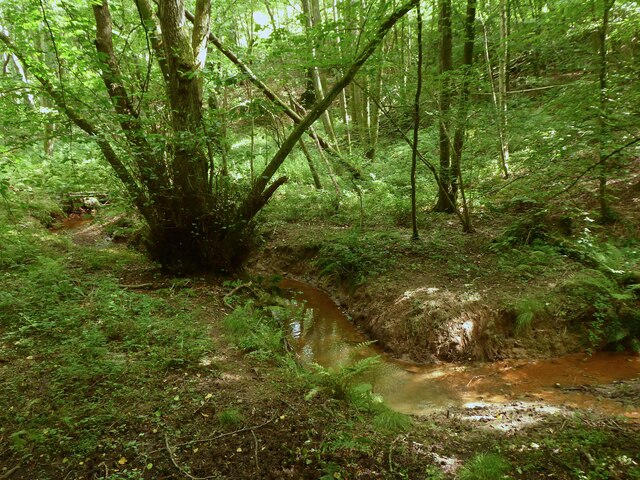
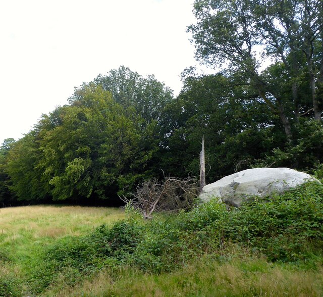
Crooked Wood is a charming forest located in Sussex, England. Nestled in the South Downs National Park, this woodland is a haven for nature enthusiasts and outdoor adventurers. Covering an area of approximately 300 acres, Crooked Wood boasts a diverse range of flora and fauna, making it a biodiversity hotspot in the region.

The forest is predominantly composed of mature oak, beech, and ash trees, which create a picturesque landscape throughout the year. The twisting and contorted branches of these trees give the wood its name, providing an enchanting and whimsical atmosphere to explore.

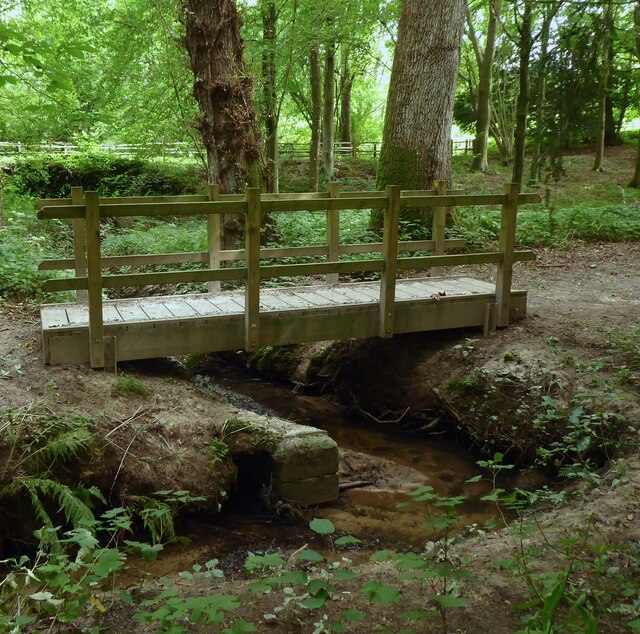
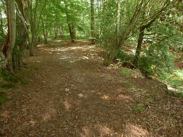
Crooked Wood offers various walking trails and paths, allowing visitors to immerse themselves in the natural beauty of the area. The forest is home to a variety of wildlife, including deer, foxes, badgers, and a plethora of bird species. The rustling of leaves underfoot, accompanied by the sounds of birdsong, creates a tranquil and peaceful ambiance.

For those seeking a more adventurous experience, Crooked Wood also provides opportunities for cycling and horseback riding. The forest is crisscrossed with well-maintained trails, catering to different skill levels and preferences.

In addition to its natural beauty, Crooked Wood is also of historical significance. It is believed to have been used as a hunting ground during medieval times and evidence of ancient settlements has been discovered in the surrounding area.

Overall, Crooked Wood is a captivating forest that offers visitors a chance to connect with nature, explore its meandering trails, and appreciate the rich biodiversity that Sussex has to offer.

If you have any feedback on the listing, please let us know in the comments section below.

Crooked Wood Images

Images are sourced within 2km of 51.080342/0.18597372 or Grid Reference TQ5333. Thanks to Geograph Open Source API. All images are credited.

Motts Mill Common The name of the field according to Withyham's 1842 tithe map, located to the east of the lane called Motts Mill.
Motts Mill Common
The name of the field according to Withyham's 1842 tithe map, located to the east of the lane called Motts Mill.
Bad Brook A continuation of Mottsmill Stream though it is difficult to find out where one starts and the other ends.
Bad Brook
A continuation of Mottsmill Stream though it is difficult to find out where one starts and the other ends.
Long Bottom The name of the field according to Withyham's 1842 tithe map that is now wooded. It is bounded by Bad Brook to the west and Rocks Wood to the east.
Long Bottom
The name of the field according to Withyham's 1842 tithe map that is now wooded. It is bounded by Bad Brook to the west and Rocks Wood to the east.
Broom Field The name of the field according to Withyham's 1842 tithe map that is bounded by Bad Brook to the west, Rocks Wood to the north and Jockey's Wood to the south.
Broom Field
The name of the field according to Withyham's 1842 tithe map that is bounded by Bad Brook to the west, Rocks Wood to the north and Jockey's Wood to the south.
Bad Brook, Jockey's Wood Rising in Badbrook Wood and becoming Mottsmill Stream above Motts Mill before eventually joining the River Medway west of Groombridge.
Bad Brook, Jockey's Wood
Rising in Badbrook Wood and becoming Mottsmill Stream above Motts Mill before eventually joining the River Medway west of Groombridge.
Footbridge, Jockey's Wood Taking the High Weald Landscape Trail over Bad Brook at the southern end of the wood.
Footbridge, Jockey's Wood
Taking the High Weald Landscape Trail over Bad Brook at the southern end of the wood.
Jockys Field The name of the field according to Withyham's 1842 tithe map located to the south of Jockey's Wood and north of Fox Hole Wood.
Jockys Field
The name of the field according to Withyham's 1842 tithe map located to the south of Jockey's Wood and north of Fox Hole Wood.
Fox Hole Wood The name of the wood according to Withyham's 1842 tithe map that now appears on maps as a northern extension of Badbrook Wood.
Fox Hole Wood
The name of the wood according to Withyham's 1842 tithe map that now appears on maps as a northern extension of Badbrook Wood.
Fox Hole Field The name of the field according to Withyham's 1842 tithe map located to the north of Coalhouse Wood.
Fox Hole Field
The name of the field according to Withyham's 1842 tithe map located to the north of Coalhouse Wood.
Sandstone Outcrop near Badbrook Wood Part of a small band located on the western side of the High Weald Landscape Trail. This one in particular has plenty of graffitied carvings on it.
Sandstone Outcrop near Badbrook Wood
Part of a small band located on the western side of the High Weald Landscape Trail. This one in particular has plenty of graffitied carvings on it.
Foxy Field/Round Field The name of the fields according to Withyham's 1842 tithe map that have been merged to form a larger unit. Foxy Field is in the foreground whilst Round Field is beyond the hedgerow in the distance adjacent to Badbrook Wood. Now part of Park Grove Deer Farm.
Foxy Field/Round Field
The name of the fields according to Withyham's 1842 tithe map that have been merged to form a larger unit. Foxy Field is in the foreground whilst Round Field is beyond the hedgerow in the distance adjacent to Badbrook Wood. Now part of Park Grove Deer Farm.
Park Grove/Long Field The name of the fields according to Withyham's 1842 tithe map that have been merged to form a larger unit. Park Grove is in the foreground whilst Long field was to the east adjacent to Badbrook Wood. Both are bounded to the south by Parkgrove Wood.
Park Grove/Long Field
The name of the fields according to Withyham's 1842 tithe map that have been merged to form a larger unit. Park Grove is in the foreground whilst Long field was to the east adjacent to Badbrook Wood. Both are bounded to the south by Parkgrove Wood.
Barn Mead The name of the field according to Withyham's 1842 tithe map located to the south of Park Grove.
Barn Mead
The name of the field according to Withyham's 1842 tithe map located to the south of Park Grove.
Park Grove Cottage Former farm outbuilding belonging to Parkgrove Farm whose original farmhouse, now called Home Place, can be seen in the distance.
Park Grove Cottage
Former farm outbuilding belonging to Parkgrove Farm whose original farmhouse, now called Home Place, can be seen in the distance.
Home Place Originally a farmhouse for Wiggs Farm later known as Parkgrove Farm. Now converted into a residence.
Home Place
Originally a farmhouse for Wiggs Farm later known as Parkgrove Farm. Now converted into a residence.
The Sussex Border Path near Stitches Farm The Sussex Border Path drops down ahead to the valley of the Eridge Brook which also carries the Uckfield Line between Eridge and Crowborough. See <span class="nowrap"><a title="https://www.walkingenglishman.com/ldp/sussexborderpath.html" rel="nofollow ugc noopener" href="https://www.walkingenglishman.com/ldp/sussexborderpath.html">Link</a><img style="margin-left:2px;" alt="External link" title="External link - shift click to open in new window" src="https://s1.geograph.org.uk/img/external.png" width="10" height="10"/></span>
The Sussex Border Path near Stitches Farm
The Sussex Border Path drops down ahead to the valley of the Eridge Brook which also carries the Uckfield Line between Eridge and Crowborough. See LinkExternal link
View from Sandhill Lane This is close to and within the sound of the A26.
View from Sandhill Lane
This is close to and within the sound of the A26.
View from Sandhill Lane This is close to Sandhill Cottages and looks across the valley through which the Uckfield line runs.
View from Sandhill Lane
This is close to Sandhill Cottages and looks across the valley through which the Uckfield line runs.
Show me another place!

Crooked Wood is located at Grid Ref: TQ5333 (Lat: 51.080342, Lng: 0.18597372)

Administrative County: East Sussex

District: Wealden

Police Authority: Sussex

What 3 Words

///welcome.dribble.direction. Near Crowborough, East Sussex

Nearby Locations

Legg's Wood Crooked Wood

Related Wikis

Bowles Rocks

Bowles Rocks is a sandstone crag in the county of East Sussex, on the border with Kent, approximately 8 kilometres (5 mi) south of the town of Royal Tunbridge...

Bowles Outdoor Centre

Bowles Outdoor Centre is an outdoor education/outdoor learning centre in southeast England, located between Royal Tunbridge Wells and Crowborough at Bowles...

Bream Wood

Bream Wood is a 7.8-hectare (19-acre) biological Site of Special Scientific Interest north of Crowborough in East Sussex.This steep sided valley wood has...

Eridge railway station

Eridge railway station is on the Uckfield branch of the Oxted line in southern England and serves a rural district around Eridge in East Sussex. It is...

Penn's Rocks

Penn's Rocks is a 10.2-hectare (25-acre) biological Site of Special Scientific Interest north of Crowborough in East Sussex.This site is a steep sided...
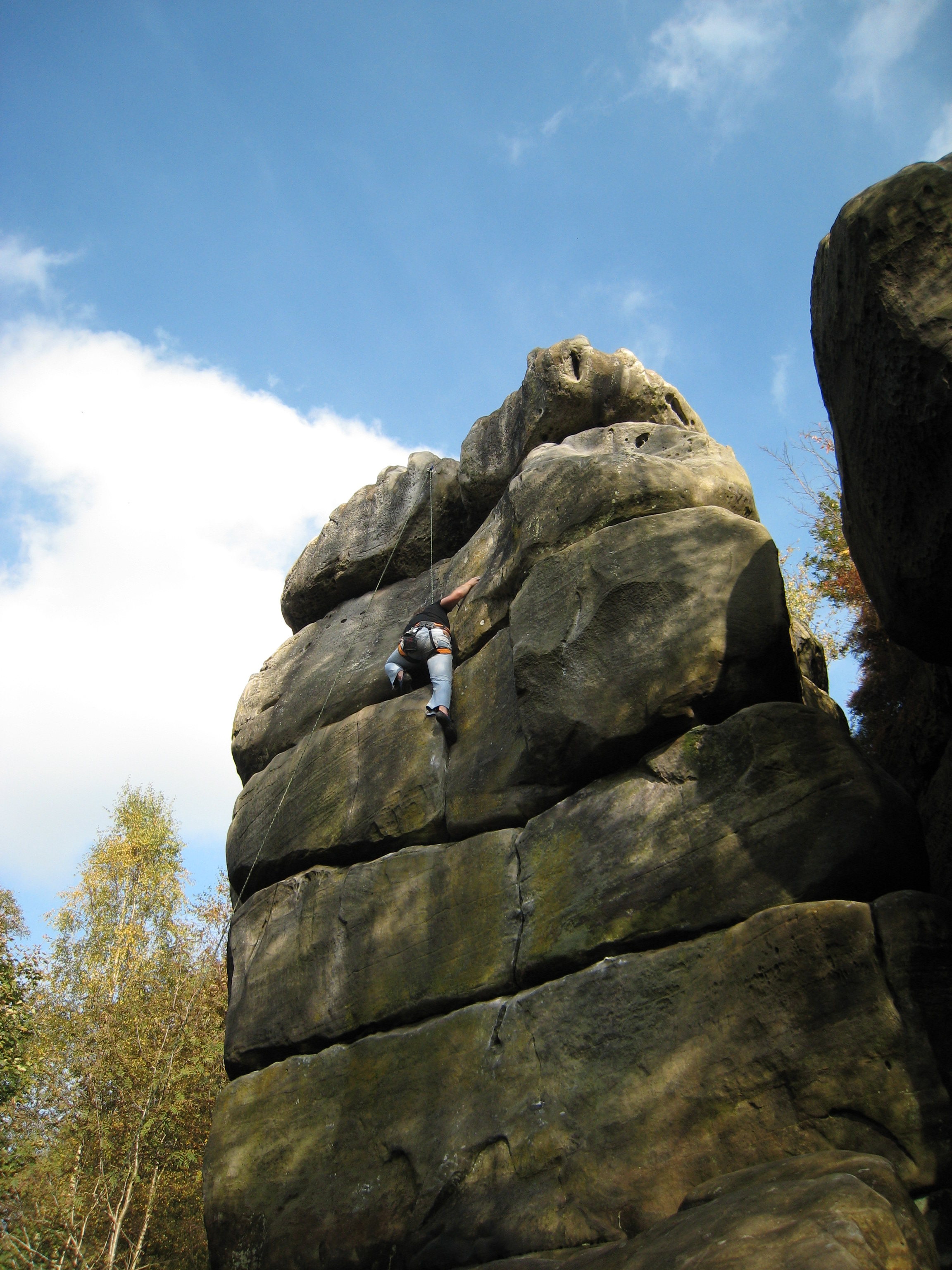
Harrison's Rocks

Harrison's Rocks is a series of sandstone crags approximately 1.5 kilometres (1 mi) south of the village of Groombridge in the county of East Sussex. The...

Pratt's Mill, Crowborough

Pratt's Mill is a tower mill at Crowborough, Sussex, England which has been truncated and converted to residential accommodation. == History == Pratt...

Crowborough Community Church

Crowborough Community Church (also known as Community Church, Crowborough) is an Evangelical church in the town of Crowborough in East Sussex, England...

Nearby Amenities

Located within 500m of 51.080342,0.18597372
Barrier: stile
Lat/Long: 51.0790719/0.1888214
Barrier: kissing_gate
Source: GPS
Lat/Long: 51.0768041/0.1843131
Bench
Backrest: no
Material: wood
Lat/Long: 51.0776623/0.1806444
Bench
Lat/Long: 51.0821981/0.1890027
The data included in this document is from www.openstreetmap.org. The data is made available under ODbL.

Have you been to Crooked Wood?

Leave your review of Crooked Wood below (or comments, questions and feedback).