Brickhill Wood
Wood, Forest in Kent Dartford
England
Brickhill Wood
Brickhill Wood is a picturesque woodland located in the county of Kent, England. Spanning an area of approximately 50 hectares, this woodland is a haven for nature enthusiasts and outdoor lovers alike.
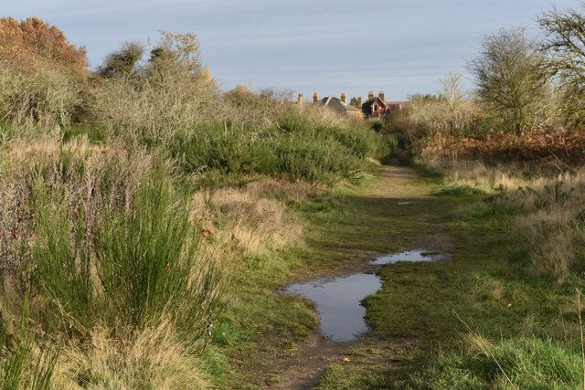
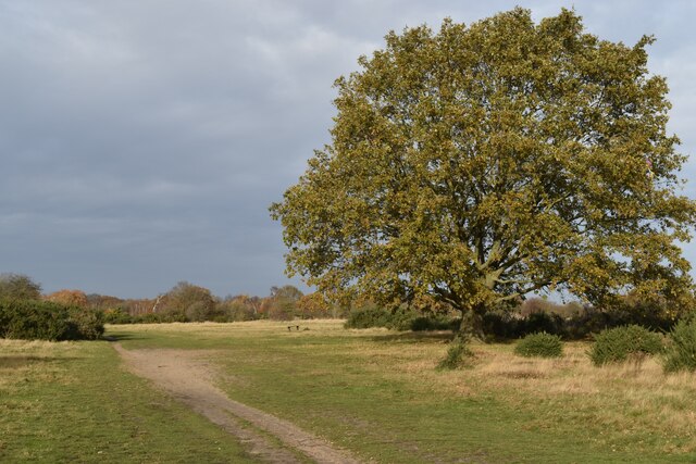
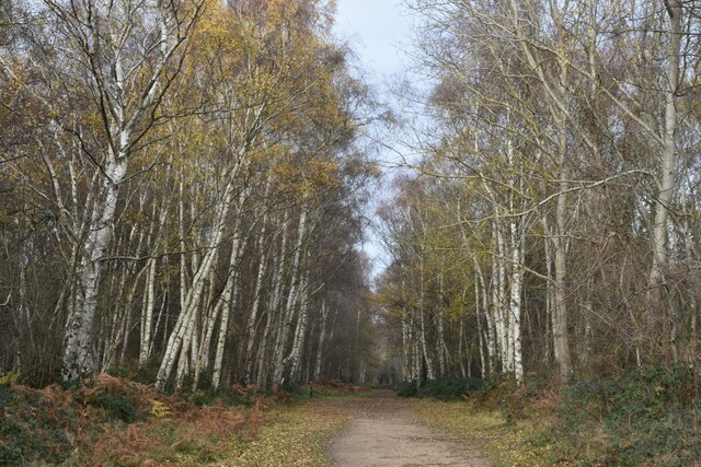
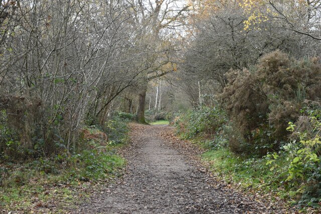
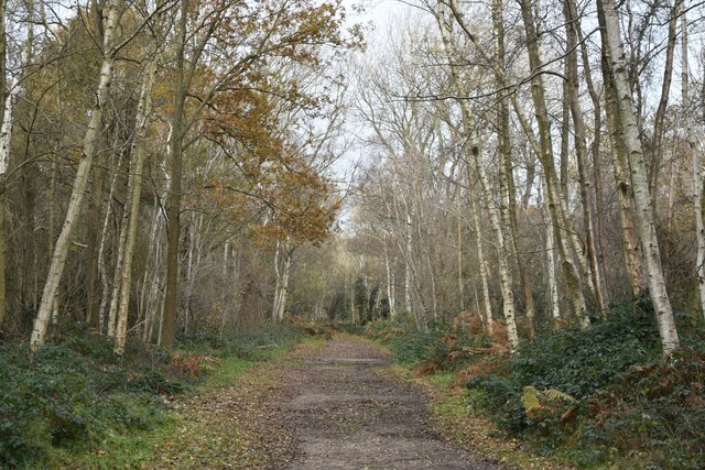
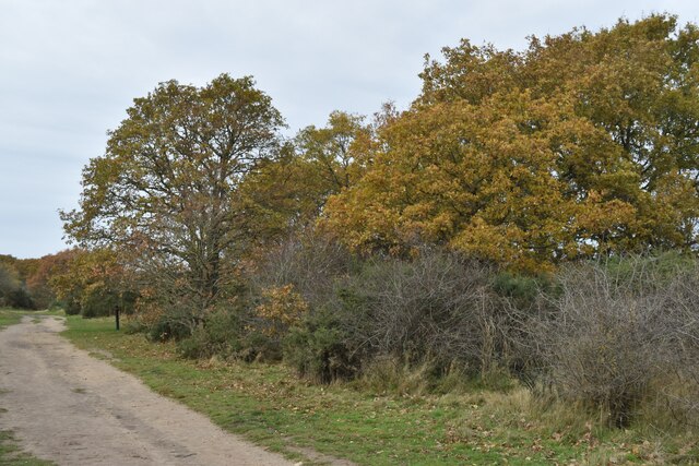
Characterized by its dense canopy of deciduous trees, Brickhill Wood boasts a diverse ecosystem that supports a wide variety of plant and animal species. Visitors can expect to see a rich assortment of flora, including oak, beech, and birch trees, which create a vibrant tapestry of color throughout the seasons. The woodland floor is adorned with an array of wildflowers such as bluebells, primroses, and wood anemones, providing a delightful sight for those who wander its trails.
The wood is intersected by several well-maintained footpaths, allowing visitors to explore its enchanting surroundings at their own pace. These paths meander through the wood, leading to hidden clearings, babbling brooks, and peaceful glades where one can find respite from the hustle and bustle of daily life.
Aside from its natural beauty, Brickhill Wood also holds historical significance. It is believed that the wood has been in existence since medieval times, and remnants of ancient woodland management practices can still be seen today. The wood has also been designated as a Site of Special Scientific Interest, highlighting its importance for conservation and biodiversity.
Whether it is for a leisurely stroll, birdwatching, or simply to immerse oneself in the tranquility of nature, Brickhill Wood offers a captivating experience that is sure to leave a lasting impression on all who visit.
If you have any feedback on the listing, please let us know in the comments section below.
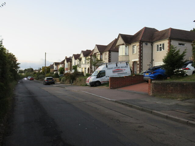
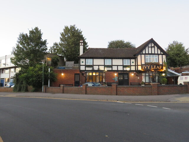
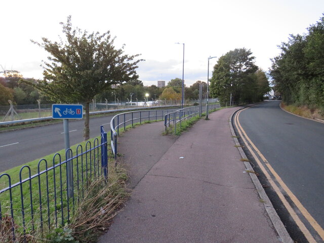
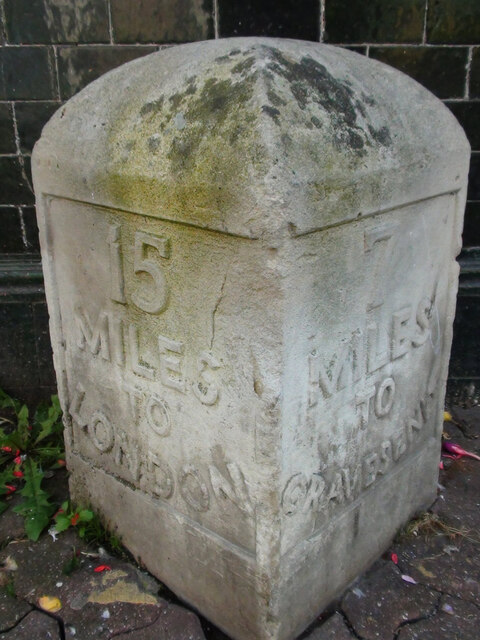
Brickhill Wood Images
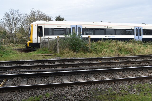
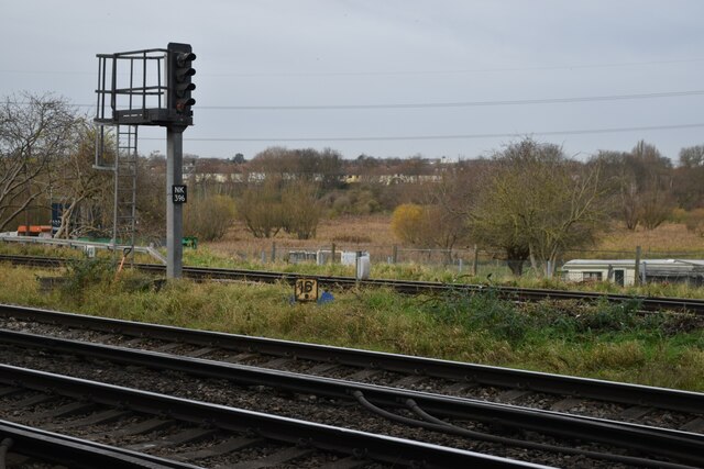
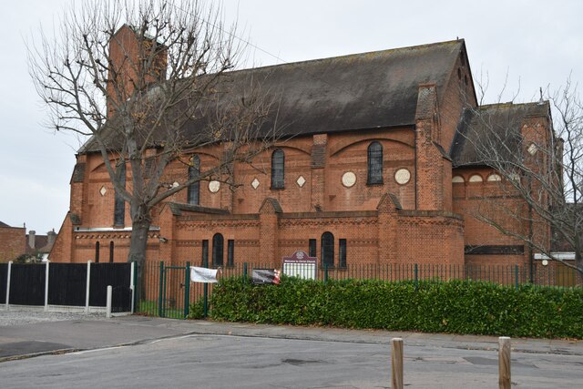
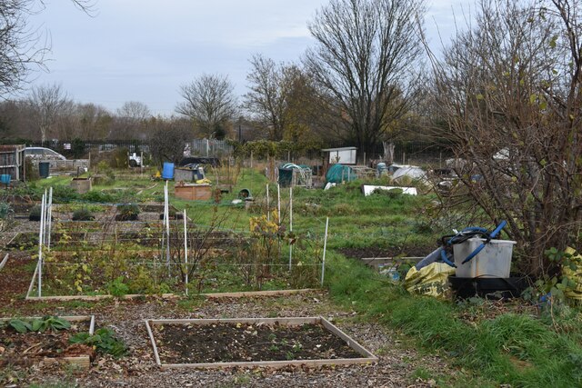
Images are sourced within 2km of 51.434802/0.19797741 or Grid Reference TQ5272. Thanks to Geograph Open Source API. All images are credited.

Brickhill Wood is located at Grid Ref: TQ5272 (Lat: 51.434802, Lng: 0.19797741)
Administrative County: Kent
District: Dartford
Police Authority: Kent
What 3 Words
///stove.paper.depend. Near Dartford, Kent
Nearby Locations
Related Wikis

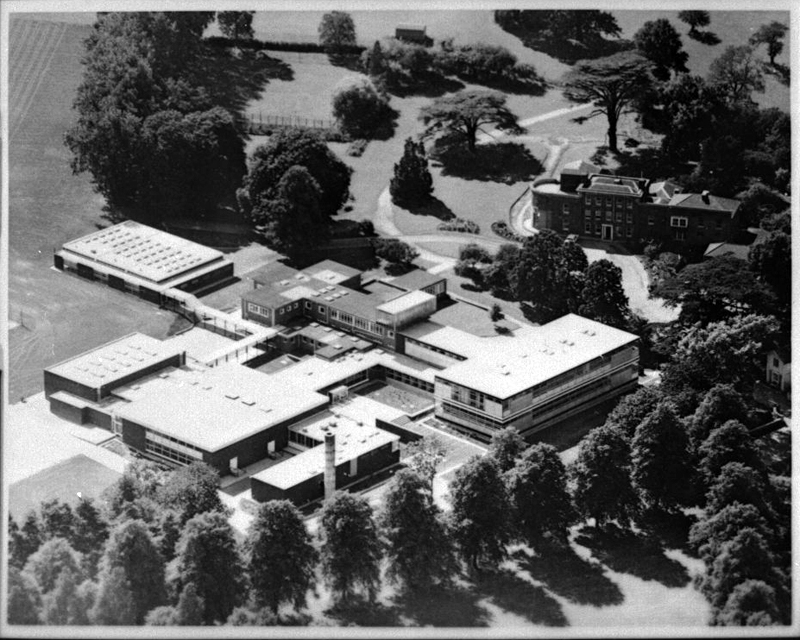
North Kent College
North Kent College is a college of Further and Higher Education located across campuses in Dartford and Gravesend and Tonbridge in Kent, England, with...
Wilmington Grammar School for Girls
Wilmington Grammar School for Girls (WGSG), previously known as the Grammar School for Girls Wilmington, is a grammar school with academy status in Wilmington...
Wilmington Grammar School for Boys
Wilmington Grammar School for Boys (WGSB) is a selective grammar school with academy status in Wilmington, Kent. From 1954 to 1982, the school was called...
Wilmington Academy
Wilmington Academy is a mixed secondary school located in Wilmington, Kent in the United Kingdom. It stands next to the site of Wilmington Hall. Wilmington...

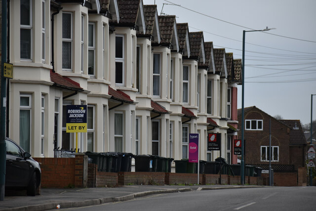
Wilmington, Kent
Wilmington is a village and civil parish in the Borough of Dartford in Kent, England. It is located 2.7 miles south of Dartford, 3.5 miles north of Swanley...
Dartford Science & Technology College
Dartford Science & Technology College (DSTC) is a non-selective school for girls in Dartford, Kent, England. DSTC has moved to a campus it shares with...

Dartford Grammar School for Girls
Dartford Grammar School for Girls is a grammar school for girls in Dartford, Kent, England. Formerly known as Dartford County School, the school opened...

The Mick Jagger Centre
The Mick Jagger Centre is a performing arts venue in Dartford, Kent, England, UK, within the grounds of Dartford Grammar School. It is named after the...
Nearby Amenities
Located within 500m of 51.434802,0.19797741Have you been to Brickhill Wood?
Leave your review of Brickhill Wood below (or comments, questions and feedback).