Claylands Shaw
Wood, Forest in Sussex Wealden
England
Claylands Shaw
Claylands Shaw is a picturesque woodland located in Sussex, England. Covering an area of approximately 50 acres, this enchanting forest is a haven for nature enthusiasts and outdoor adventurers alike. The name "Claylands Shaw" originates from the clay soil that is prevalent in the area.
The woodland is characterized by its dense and diverse vegetation, encompassing a variety of tree species such as oak, beech, and birch. These majestic trees provide a stunning canopy overhead, creating a tranquil and soothing atmosphere within the forest. A network of well-maintained footpaths weaves through the woods, allowing visitors to explore and appreciate the natural beauty at their own pace.
Claylands Shaw is also home to an array of wildlife. Birdwatchers will delight in the opportunity to spot species like woodpeckers, owls, and various songbirds. Additionally, the forest provides habitat for mammals such as deer, foxes, and rabbits. These animals can often be observed going about their daily routines, adding to the charm and allure of the woodland.
For those seeking recreational activities, Claylands Shaw offers opportunities for walking, jogging, and cycling. The forest's undulating terrain and well-marked trails make it an ideal location for outdoor exercise. Picnic areas and benches are scattered throughout the woods, providing a perfect spot for visitors to relax and immerse themselves in the serenity of the surroundings.
Overall, Claylands Shaw is a captivating woodland that showcases the natural beauty of Sussex. Its lush vegetation, diverse wildlife, and recreational opportunities make it a must-visit destination for nature enthusiasts and those looking to escape the hustle and bustle of everyday life.
If you have any feedback on the listing, please let us know in the comments section below.
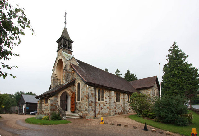
Claylands Shaw Images
Images are sourced within 2km of 51.033932/0.17892503 or Grid Reference TQ5228. Thanks to Geograph Open Source API. All images are credited.


Claylands Shaw is located at Grid Ref: TQ5228 (Lat: 51.033932, Lng: 0.17892503)
Administrative County: East Sussex
District: Wealden
Police Authority: Sussex
What 3 Words
///existence.pink.envy. Near Crowborough, East Sussex
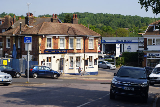
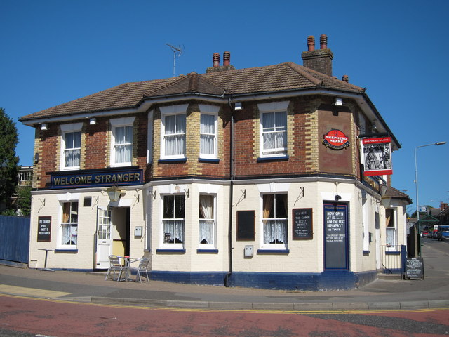
Nearby Locations
Related Wikis
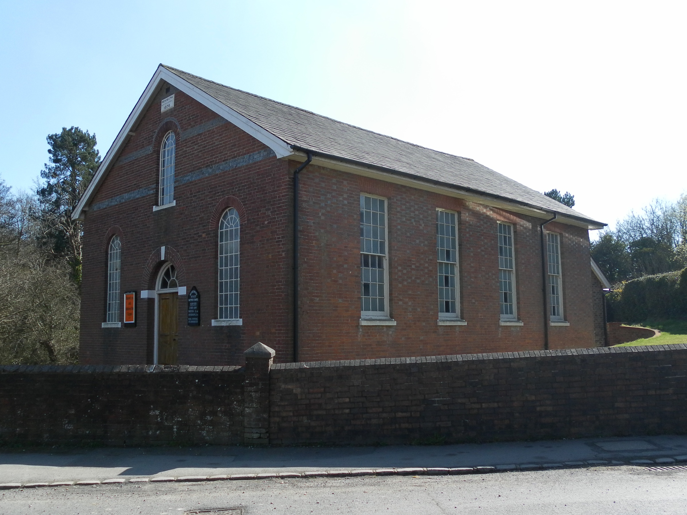
Rehoboth Chapel, Jarvis Brook
The Rehoboth Chapel is a Strict Baptist place of worship in the village of Jarvis Brook in the English county of East Sussex. The red- and blue-brick building...
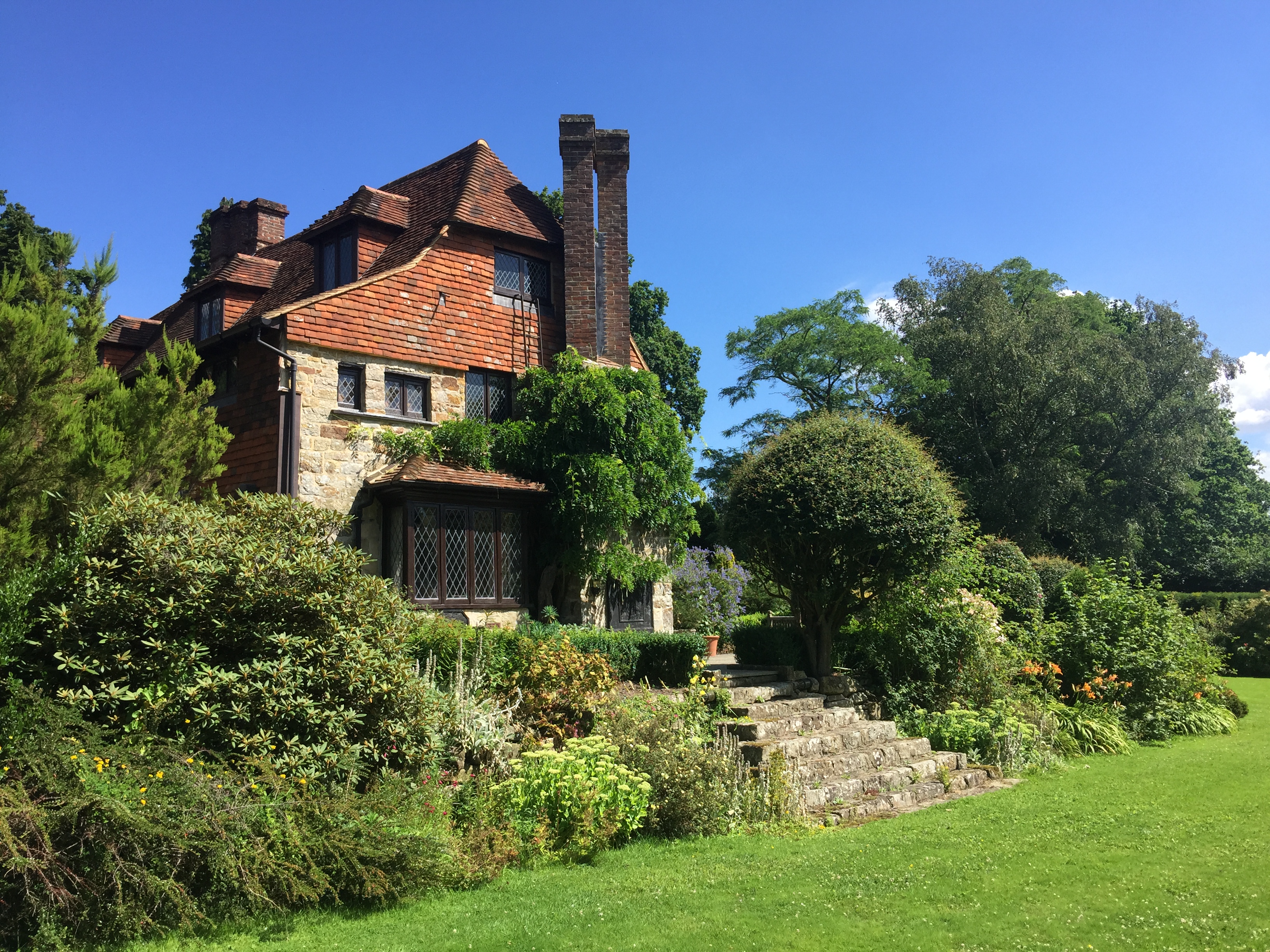
Luxford House
Luxford House is a 16th-century Grade II listed building near Crowborough, East Sussex. It is near the 11.5-acre (4.7 ha) Luxford Farm. It was used by...

Crowborough Athletic F.C.
Crowborough Athletic Football Club is a football club based in Crowborough, East Sussex, England. Affiliated to the Sussex County Football Association...

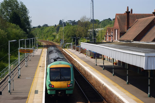
Crowborough railway station
Crowborough railway station is on the Uckfield branch of the Oxted Line in England, serving the town of Crowborough, East Sussex. It is 39 miles 11 chains...

Crowborough Country Park
Crowborough Country Park is a 7.3-hectare (18-acre) Local Nature Reserve on the western outskirts of Crowborough in East Sussex. It is owned and managed...

Jarvis Brook
Jarvis Brook is a village between Crowborough and Rotherfield in the Borough of Wealden East Sussex. Crowborough Railway Station, on the Uckfield branch...
Beacon Academy
Beacon Academy (formerly Beacon Community College) is a coeducational secondary school and sixth form located in Crowborough in the English county of East...
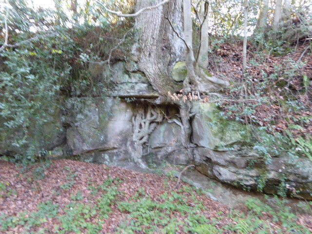
Hastingford Cutting
Hastingford Cutting is a 0.04-hectare (0.099-acre) geological Site of Special Scientific Interest south of Crowborough in East Sussex. It is a Geological...
Nearby Amenities
Located within 500m of 51.033932,0.17892503Have you been to Claylands Shaw?
Leave your review of Claylands Shaw below (or comments, questions and feedback).