Alders Wood

Wood, Forest in Sussex Wealden

England

Alders Wood

The church without dedication, East Hoathly
The church without dedication, East Hoathly Credit: Stephen Dawson

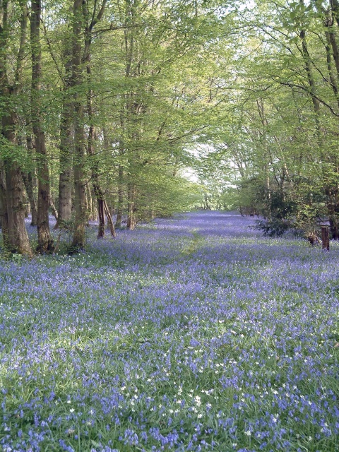
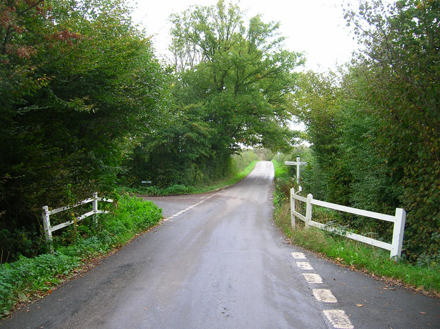
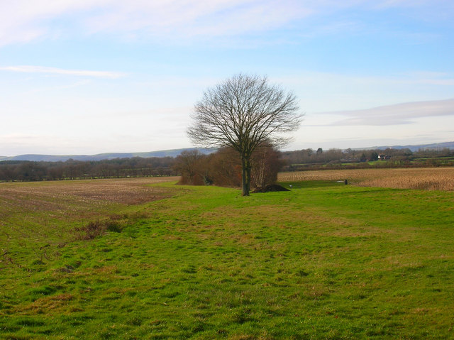
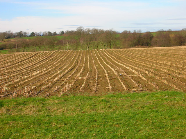
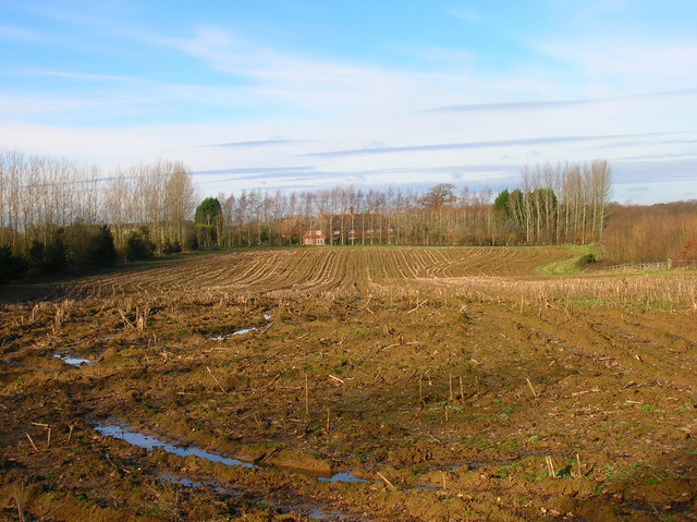
Alders Wood is a picturesque forest located in Sussex, England. Covering an area of approximately 100 acres, it is a haven for nature lovers and outdoor enthusiasts. The wood is primarily composed of alder trees, which lend their name to the area. These trees, with their distinctive slender trunks and serrated leaves, create a stunning canopy that provides shade and shelter for a diverse range of flora and fauna.

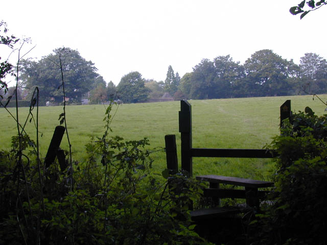
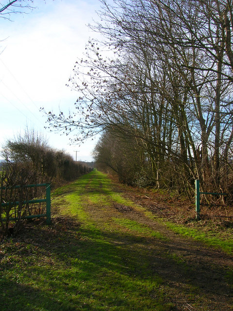
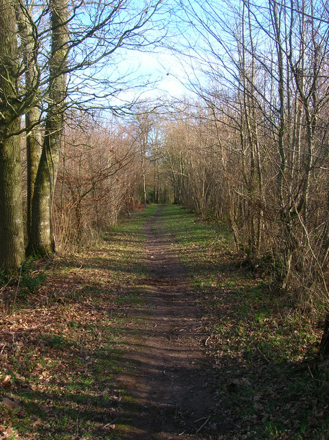
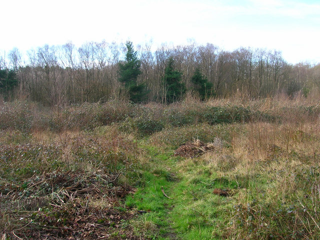
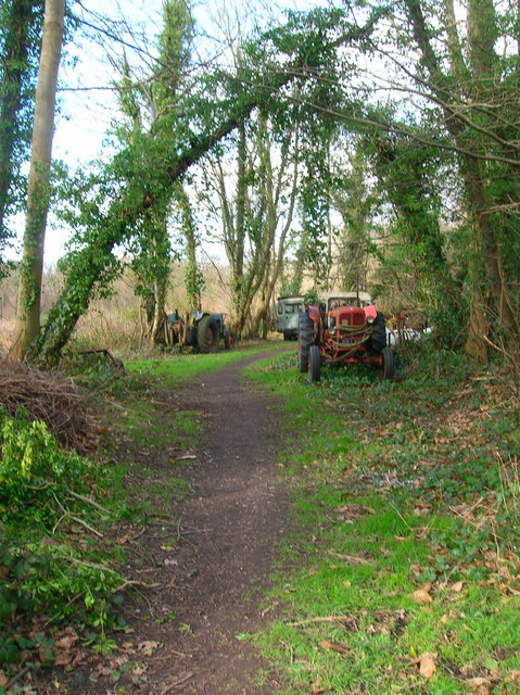
The forest is crisscrossed by a network of well-maintained footpaths and trails, making it easily accessible to visitors. Exploring Alders Wood allows one to immerse themselves in the peaceful ambiance of the natural surroundings. The forest floor is carpeted with a rich layer of moss, ferns, and wildflowers, creating a vibrant tapestry of colors and textures.

Wildlife thrives in Alders Wood, with an abundance of bird species, including woodpeckers, owls, and thrushes. Squirrels scamper through the treetops, while rabbits and deer can often be spotted grazing in the clearings. The forest is also home to a variety of insects and invertebrates, making it an ideal spot for nature enthusiasts and photographers alike.

Visitors to Alders Wood can enjoy a range of activities, from leisurely walks and picnics to birdwatching and photography. The tranquility of the wood offers a perfect escape from the hustle and bustle of daily life. With its natural beauty and serenity, Alders Wood is a must-visit destination for anyone seeking a peaceful retreat in the heart of Sussex.

If you have any feedback on the listing, please let us know in the comments section below.
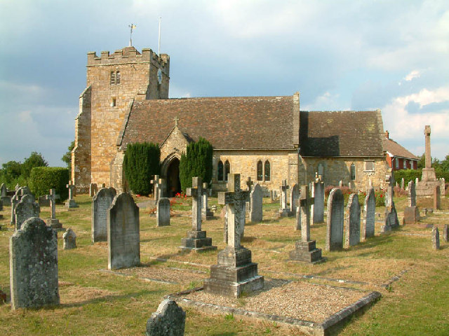
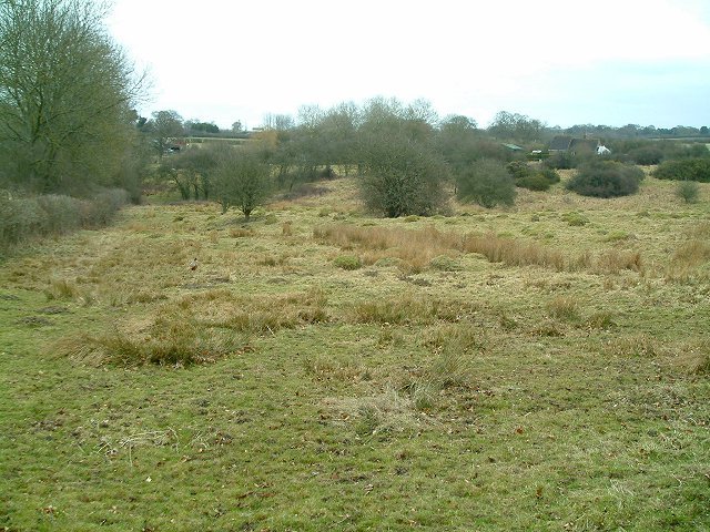
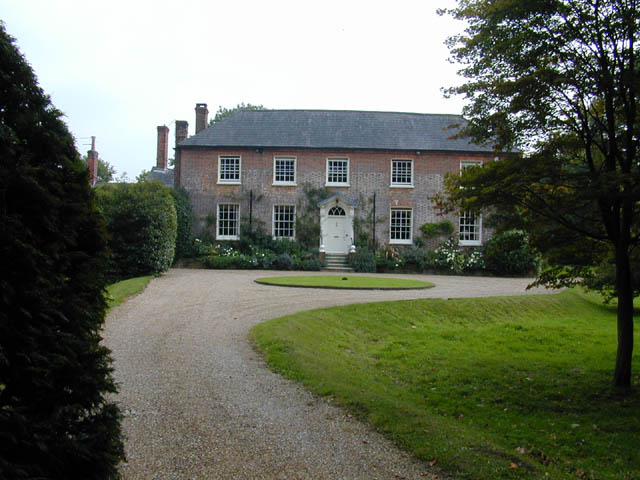
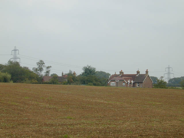
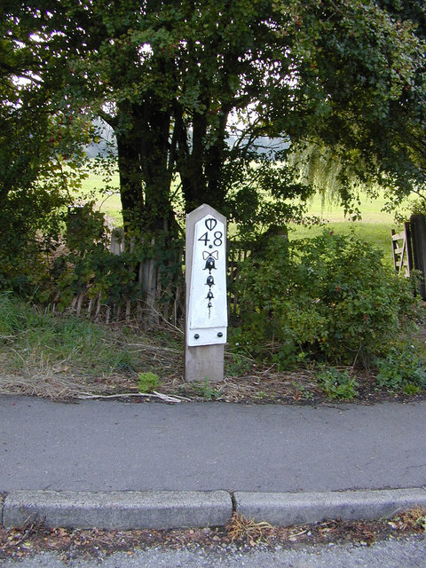
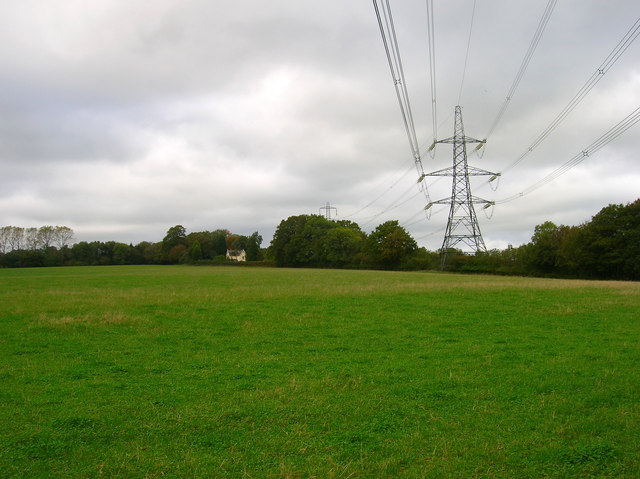
Alders Wood Images

Images are sourced within 2km of 50.930442/0.16393749 or Grid Reference TQ5216. Thanks to Geograph Open Source API. All images are credited.

The church without dedication, East Hoathly
Gray Wood Gray Wood, East Hoathly - in late April the Wood is anything but gray!  The woodland in private, but can be viewed from the Vanguard Way footpath.
Gray Wood
Gray Wood, East Hoathly - in late April the Wood is anything but gray! The woodland in private, but can be viewed from the Vanguard Way footpath.
Meadow at Easons Green This regularly grazed ancient meadow is typical of lowland unimproved grassland, with anthills and a diverse flora in the summer.
Meadow at Easons Green
This regularly grazed ancient meadow is typical of lowland unimproved grassland, with anthills and a diverse flora in the summer.
Footpath from East Hoathly to Old Whyly This photo was taken on the Thomas Turner walk, which is a series of footpaths around East Hoathly. The roof of Old Whyly can be seen in the distance.
Footpath from East Hoathly to Old Whyly
This photo was taken on the Thomas Turner walk, which is a series of footpaths around East Hoathly. The roof of Old Whyly can be seen in the distance.
Old Whyly Old Whyly is a 17th Century manor house. It is mentioned numerous times in The Diary of Thomas Turner 1754-1765, in East Hoathly. Thomas Turner frequently visited Jeremiah French, the tenant farmer, at Whyly mostly for evenings playing cards and heavy drinking. He invariably returned home inebriated and on several occasions his wife had to be carried home on a gate!
Old Whyly
Old Whyly is a 17th Century manor house. It is mentioned numerous times in The Diary of Thomas Turner 1754-1765, in East Hoathly. Thomas Turner frequently visited Jeremiah French, the tenant farmer, at Whyly mostly for evenings playing cards and heavy drinking. He invariably returned home inebriated and on several occasions his wife had to be carried home on a gate!
Across the fields to Davis's Town This photograph was taken from the footpath forming part of the Thomas Turner walk near Great Wood, just outside the village of East Hoathly.
Across the fields to Davis's Town
This photograph was taken from the footpath forming part of the Thomas Turner walk near Great Wood, just outside the village of East Hoathly.
Mile marker East Hoathly 48 Miles to Bow Bells
Mile marker East Hoathly
48 Miles to Bow Bells
Electricity Pylons near Cinder Wood The house to the left is Scallow Lodge.
Electricity Pylons near Cinder Wood
The house to the left is Scallow Lodge.
Scallow Bridge The bridge is marked by the white railings. Lane to the left goes to Cross in Hand, the one to the right heads south to Whitesmith, straight ahead for Foxhunt Green and Horam.
Scallow Bridge
The bridge is marked by the white railings. Lane to the left goes to Cross in Hand, the one to the right heads south to Whitesmith, straight ahead for Foxhunt Green and Horam.
Black Lion Inn Old coaching inn on the A22/B2192 crossroads. The road to Uckfield is straight ahead that to Lewes is to the left.
Black Lion Inn
Old coaching inn on the A22/B2192 crossroads. The road to Uckfield is straight ahead that to Lewes is to the left.
Footpath to Shortgate Taken from its junction with the Halland-Rowlands Wood footpath.
Footpath to Shortgate
Taken from its junction with the Halland-Rowlands Wood footpath.
Footpath to Laughton Park Farm The footpath follows an old lane between two field boundaries on its way to Halland Park Farm.
Footpath to Laughton Park Farm
The footpath follows an old lane between two field boundaries on its way to Halland Park Farm.
Field of Stalks near Halland Park Farm Looking back towards Halland, the trees to the right hide the pond in the next grid square. The building on the hill is Hartfield Farm.
Field of Stalks near Halland Park Farm
Looking back towards Halland, the trees to the right hide the pond in the next grid square. The building on the hill is Hartfield Farm.
Moat, Moat Wood The remnants of an medieval settlement possibly a farmstead or a hunting lodge. The island is to the right of the water. Moat Wood is joint owned by East Hoathly parish council and the Woodland Trust.
Moat, Moat Wood
The remnants of an medieval settlement possibly a farmstead or a hunting lodge. The island is to the right of the water. Moat Wood is joint owned by East Hoathly parish council and the Woodland Trust.
Footpath, Moat Wood Taken from the entrance near the A22. Moat Wood is owned jointly by East Hoathly parish council and the Woodland Trust. Its wildlife includes Black Adders and Nightingales.
Footpath, Moat Wood
Taken from the entrance near the A22. Moat Wood is owned jointly by East Hoathly parish council and the Woodland Trust. Its wildlife includes Black Adders and Nightingales.
Moat Wood This view is from the footpath near to the East Hoathly entrance.
Moat Wood
This view is from the footpath near to the East Hoathly entrance.
Tractor's Graveyard There are a couple more vehicles out of shot lining the footpath from East Hoathly into Moat Wood.
Tractor's Graveyard
There are a couple more vehicles out of shot lining the footpath from East Hoathly into Moat Wood.
Ploughed Field near Godfrey's Cottage The A22 is behind the bushes to the right of the picture.
Ploughed Field near Godfrey's Cottage
The A22 is behind the bushes to the right of the picture.
Show me another place!

Alders Wood is located at Grid Ref: TQ5216 (Lat: 50.930442, Lng: 0.16393749)

Administrative County: East Sussex

District: Wealden

Police Authority: Sussex

What 3 Words

///challenge.overdone.resides. Near Horam, East Sussex

Related Wikis

East Hoathly with Halland

East Hoathly with Halland is a civil parish in the Wealden District of East Sussex, England. The parish contains the two villages of East Hoathly and...

Park Corner Heath

Park Corner Heath is a 2.9-hectare (7.2-acre) biological Site of Special Scientific Interest about 1.2 miles (2 km) south of East Hoathly, adjacent to...

Whitesmith maze

A plantation of willows near Whitesmith, East Sussex, in England forms a maze in the shape of a quotation from the Bible. The maze was planted by local...

Chiddingly

Chiddingly ( CHID-ing-lye) is an English village and civil parish in the Wealden District of the administrative county of East Sussex, within historic...

Waldron Cutting

Waldron Cutting is a 0.2-hectare (0.49-acre) geological Site of Special Scientific Interest in East Sussex. It is a Geological Conservation Review site...

Bentley Wildfowl and Motor Museum

The Bentley Wildfowl and Motor Museum was a visitor attraction near Halland, East Sussex, England. As of October 2018, it is closed to the public. ��2...

Framfield

Framfield is a village and civil parish in the Wealden District of East Sussex, England. The village is located two miles (3 km) east of Uckfield; the...

Laughton, East Sussex

Laughton is a village and civil parish in the Wealden district of East Sussex, England. The village is located five miles (8 km) east of Lewes, at a junction...

Nearby Amenities

Located within 500m of 50.930442,0.16393749
Veterinary
The Holistic Veterinary Medicine Centre
Addr Postcode: BN8 6QA
Opening Hours: Mo,Fr 09:00-17:30;Tu-Th 09:00-17:00;PH closed
Lat/Long: 50.9262766/0.1651641
Public Bookcase
Booth: K6
Disused Amenity: telephone
Listed Status: Grade II
Man Made: telephone_box
Public Bookcase Type: phone_box
Lat/Long: 50.9261611/0.1661005
The data included in this document is from www.openstreetmap.org. The data is made available under ODbL.

Have you been to Alders Wood?

Leave your review of Alders Wood below (or comments, questions and feedback).