East Hoathly

Settlement in Sussex Wealdon

England

East Hoathly

The church without dedication, East Hoathly
The church without dedication, East Hoathly Credit: Stephen Dawson

East Hoathly is a small village located in the Wealden district of East Sussex, England. Situated approximately 12 miles northeast of Lewes and 8 miles southeast of Uckfield, it is nestled amidst the picturesque South Downs National Park. With an estimated population of around 1,200 residents, the village exudes a tranquil and idyllic charm.

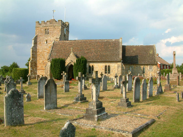
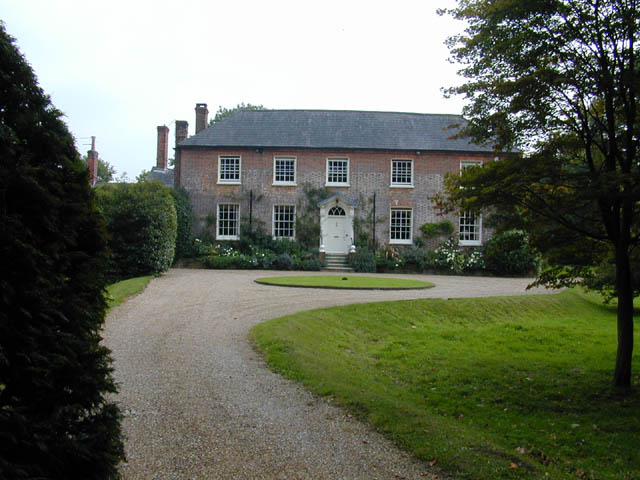
Historically, East Hoathly has roots dating back to the medieval era, and evidence of its rich past can be found in its architecture and landmarks. The Grade II listed St. Mary's Church, a 14th-century structure, stands as a prominent landmark in the village, showcasing its architectural heritage. Additionally, the village is home to several other historic buildings, including Weavers Cottage, a 15th-century timber-framed house.

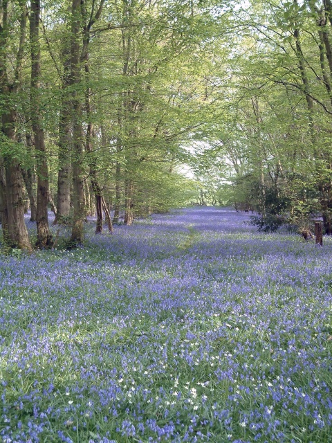
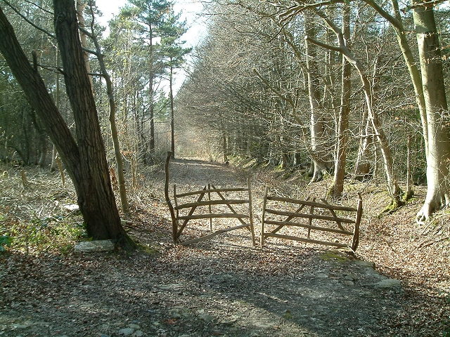
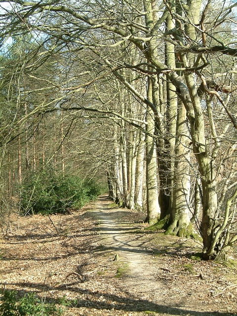
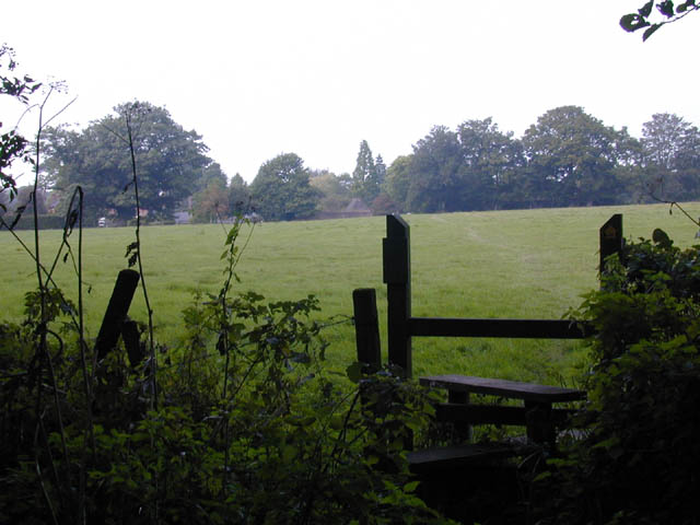
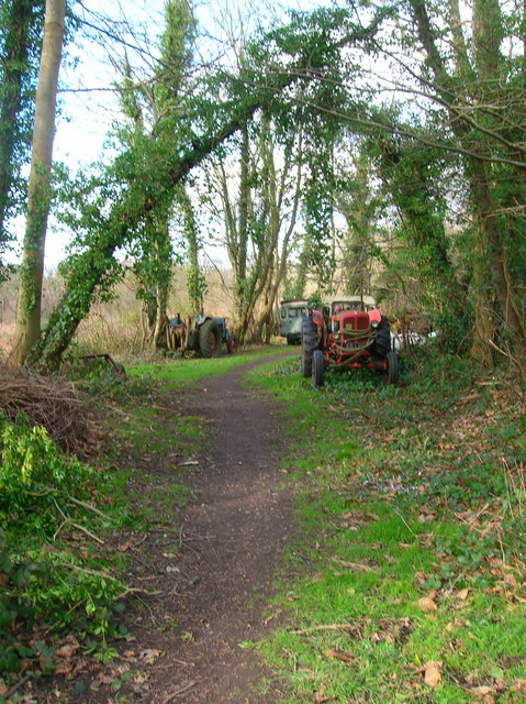
The village boasts a close-knit community and provides a range of amenities and services for its residents. These include a primary school, a village hall, a post office, and a pub. The surrounding countryside offers ample opportunities for outdoor activities such as walking, cycling, and horse riding, with numerous footpaths and bridleways crisscrossing the area.

East Hoathly is also known for its vibrant social calendar, with various community events taking place throughout the year. The annual East Hoathly Carnival, held in July, draws visitors from near and far for a day of festivities, including a procession, live music, and stalls.

In summary, East Hoathly is a charming village steeped in history and nestled amidst the stunning natural beauty of the South Downs. With its strong sense of community and range of amenities, it offers a peaceful and picturesque place to call home.

If you have any feedback on the listing, please let us know in the comments section below.
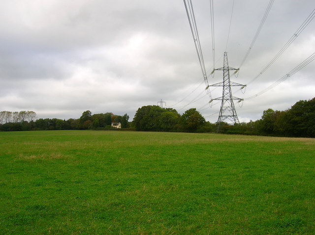
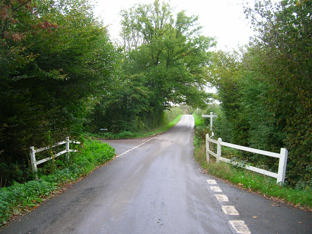
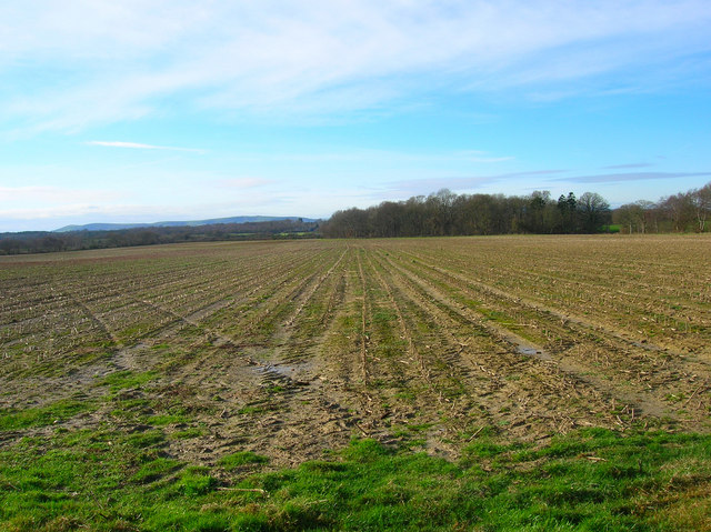
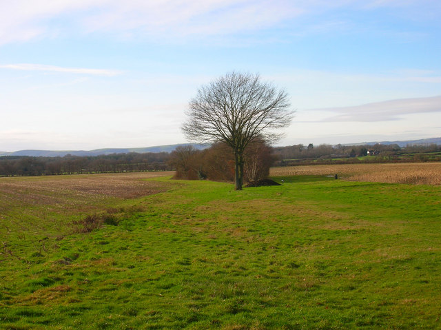
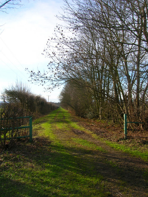
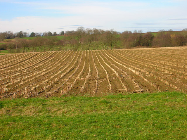
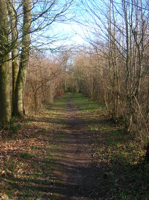
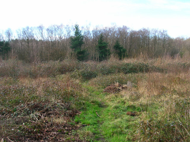
East Hoathly Images

Images are sourced within 2km of 50.92588/0.16553299 or Grid Reference TQ5216. Thanks to Geograph Open Source API. All images are credited.

The church without dedication, East Hoathly
Gray Wood Gray Wood, East Hoathly - in late April the Wood is anything but gray!  The woodland in private, but can be viewed from the Vanguard Way footpath.
Gray Wood
Gray Wood, East Hoathly - in late April the Wood is anything but gray! The woodland in private, but can be viewed from the Vanguard Way footpath.
Woodbank at Rowlands Wood This historic wooded bank, with many mature beech and hornbeam trees forms the southern boundary of Rowlands Wood, and also bounds the site of the Butterfly Conservation Nature Reserve where traditional coppicing and heathland management takes place.
Woodbank at Rowlands Wood
This historic wooded bank, with many mature beech and hornbeam trees forms the southern boundary of Rowlands Wood, and also bounds the site of the Butterfly Conservation Nature Reserve where traditional coppicing and heathland management takes place.
Line of Trees on historic Boundary bank Old Beech and Hornbeam trees on woodbank at Rowlands Wood, Park Corner.
Line of Trees on historic Boundary bank
Old Beech and Hornbeam trees on woodbank at Rowlands Wood, Park Corner.
Footpath from East Hoathly to Old Whyly This photo was taken on the Thomas Turner walk, which is a series of footpaths around East Hoathly. The roof of Old Whyly can be seen in the distance.
Footpath from East Hoathly to Old Whyly
This photo was taken on the Thomas Turner walk, which is a series of footpaths around East Hoathly. The roof of Old Whyly can be seen in the distance.
Old Whyly Old Whyly is a 17th Century manor house. It is mentioned numerous times in The Diary of Thomas Turner 1754-1765, in East Hoathly. Thomas Turner frequently visited Jeremiah French, the tenant farmer, at Whyly mostly for evenings playing cards and heavy drinking. He invariably returned home inebriated and on several occasions his wife had to be carried home on a gate!
Old Whyly
Old Whyly is a 17th Century manor house. It is mentioned numerous times in The Diary of Thomas Turner 1754-1765, in East Hoathly. Thomas Turner frequently visited Jeremiah French, the tenant farmer, at Whyly mostly for evenings playing cards and heavy drinking. He invariably returned home inebriated and on several occasions his wife had to be carried home on a gate!
Across the fields to Davis's Town This photograph was taken from the footpath forming part of the Thomas Turner walk near Great Wood, just outside the village of East Hoathly.
Across the fields to Davis's Town
This photograph was taken from the footpath forming part of the Thomas Turner walk near Great Wood, just outside the village of East Hoathly.
Mile marker East Hoathly 48 Miles to Bow Bells
Mile marker East Hoathly
48 Miles to Bow Bells
Electricity Pylons near Cinder Wood The house to the left is Scallow Lodge.
Electricity Pylons near Cinder Wood
The house to the left is Scallow Lodge.
Scallow Bridge The bridge is marked by the white railings. Lane to the left goes to Cross in Hand, the one to the right heads south to Whitesmith, straight ahead for Foxhunt Green and Horam.
Scallow Bridge
The bridge is marked by the white railings. Lane to the left goes to Cross in Hand, the one to the right heads south to Whitesmith, straight ahead for Foxhunt Green and Horam.
Looking Towards Bog Shaw Taken from the footpath that links Halland with Rowlands Wood. The South Downs can be seen in the background.
Looking Towards Bog Shaw
Taken from the footpath that links Halland with Rowlands Wood. The South Downs can be seen in the background.
Footpath to Shortgate Taken from its junction with the Halland-Rowlands Wood footpath.
Footpath to Shortgate
Taken from its junction with the Halland-Rowlands Wood footpath.
Footpath to Laughton Park Farm The footpath follows an old lane between two field boundaries on its way to Halland Park Farm.
Footpath to Laughton Park Farm
The footpath follows an old lane between two field boundaries on its way to Halland Park Farm.
Field of Stalks near Halland Park Farm Looking back towards Halland, the trees to the right hide the pond in the next grid square. The building on the hill is Hartfield Farm.
Field of Stalks near Halland Park Farm
Looking back towards Halland, the trees to the right hide the pond in the next grid square. The building on the hill is Hartfield Farm.
Moat, Moat Wood The remnants of an medieval settlement possibly a farmstead or a hunting lodge. The island is to the right of the water. Moat Wood is joint owned by East Hoathly parish council and the Woodland Trust.
Moat, Moat Wood
The remnants of an medieval settlement possibly a farmstead or a hunting lodge. The island is to the right of the water. Moat Wood is joint owned by East Hoathly parish council and the Woodland Trust.
Footpath, Moat Wood Taken from the entrance near the A22. Moat Wood is owned jointly by East Hoathly parish council and the Woodland Trust. Its wildlife includes Black Adders and Nightingales.
Footpath, Moat Wood
Taken from the entrance near the A22. Moat Wood is owned jointly by East Hoathly parish council and the Woodland Trust. Its wildlife includes Black Adders and Nightingales.
Moat Wood This view is from the footpath near to the East Hoathly entrance.
Moat Wood
This view is from the footpath near to the East Hoathly entrance.
Tractor's Graveyard There are a couple more vehicles out of shot lining the footpath from East Hoathly into Moat Wood.
Tractor's Graveyard
There are a couple more vehicles out of shot lining the footpath from East Hoathly into Moat Wood.
Show me another place!

East Hoathly is located at Grid Ref: TQ5216 (Lat: 50.92588, Lng: 0.16553299)

Administrative County: East Sussex

District: Wealdon

Police Authority: Sussex

What 3 Words

///hologram.happening.fault. Near Horam, East Sussex

Related Wikis

East Hoathly with Halland

East Hoathly with Halland is a civil parish in the Wealden District of East Sussex, England. The parish contains the two villages of East Hoathly and...

Park Corner Heath

Park Corner Heath is a 2.9-hectare (7.2-acre) biological Site of Special Scientific Interest about 1.2 miles (2 km) south of East Hoathly, adjacent to...

Whitesmith maze

A plantation of willows near Whitesmith, East Sussex, in England forms a maze in the shape of a quotation from the Bible. The maze was planted by local...

Chiddingly

Chiddingly ( CHID-ing-lye) is an English village and civil parish in the Wealden District of the administrative county of East Sussex, within historic...

Waldron Cutting

Waldron Cutting is a 0.2-hectare (0.49-acre) geological Site of Special Scientific Interest in East Sussex. It is a Geological Conservation Review site...

Farleys House

Farleys House near Chiddingly, East Sussex, has been converted into a museum and archive featuring the lives and work of its former residents, the photographer...

Bentley Wildfowl and Motor Museum

The Bentley Wildfowl and Motor Museum was a visitor attraction near Halland, East Sussex, England. As of October 2018, it is closed to the public. ��2...

Burgh Hill Farm Meadow

Burgh Hill Farm Meadow is a 0.9-hectare (2.2-acre) biological Site of Special Scientific Interest west of Hailsham in East Sussex.This meadow is managed...

Nearby Amenities

Located within 500m of 50.92588,0.16553299
Pub
The King's Head
Addr City: East Hoathly
Addr Housenumber: 1
Addr Postcode: BN8 6DR
Addr Street: High Street
Fhrs Id: 172720
Source Addr: FHRS Open Data
Wikidata: Q26574816
Lat/Long: 50.9259183/0.1658995
Post Box
Collection Times: Mo-Fr 16:00; Sa 09:45
Operator: Royal Mail
Post Box Type: pillar
Ref: BN8 531
Royal Cypher: EIIR
Royal Cypher Wikidata: Q33102113
Lat/Long: 50.925871/0.1654822
Post Box
Brand: Royal Mail
Brand Wikidata: Q638098
Brand Wikipedia: en:Royal Mail
Operator: Royal Mail
Operator Wikidata: Q638098
Ref: BN8 523
Lat/Long: 50.9233818/0.1604983
Bus Stop
Bus: yes
Public Transport: platform
Lat/Long: 50.9245658/0.1634823
Bus Stop
Bus: yes
Public Transport: platform
Lat/Long: 50.9246943/0.1632891
Cafe
Muffins
Opening Hours: Mo 10:00-16:30,Tu-Fr 09:30-16:30; Sa 09:30-16:00
Website: http://www.muffinscafe.co.uk
Lat/Long: 50.9256884/0.1656699
Turning Circle
Lat/Long: 50.9236744/0.1634507
East Hoathly
Is In: Wealden
Place: village
Wikidata: Q15979638
Lat/Long: 50.9256552/0.1649823
Post Office
East Hoathly Post Office
Addr City: Lewes
Addr Country: GB
Addr Housename: Woodlands House
Addr Housenumber: 2
Addr Postcode: BN8 6EB
Addr Street: High Street
Addr Village: East Hoathly
Opening Hours Post Office: Mo,Tu,Th,Fr 09:00-13:00,14:00-17:30; We 09:00-13:00; Sa 09:00-12:30
Ref Pol Id: 3102
Shop: convenience
Lat/Long: 50.9258547/0.1653696
Barrier: swing_gate
Swing Gate Type: single
Lat/Long: 50.9250257/0.1613324
Veterinary
The Holistic Veterinary Medicine Centre
Addr Postcode: BN8 6QA
Opening Hours: Mo,Fr 09:00-17:30;Tu-Th 09:00-17:00;PH closed
Lat/Long: 50.9262766/0.1651641
Village Hair Shop
Addr City: East Hoathly
Addr Country: GB
Addr Housenumber: 13
Addr Street: High Street
Phone: +441825841338
Shop: hairdresser
Lat/Long: 50.9256394/0.1654687
Hesmonds Farm
Place: farm
Source Name: OS_OpenData_Streetview
Lat/Long: 50.9268836/0.1710176
Tourle's Farm
Place: farm
Source Name: OS_OpenData_Streetview
Lat/Long: 50.9233681/0.1666143
Give Way
Direction: backward
Lat/Long: 50.9258988/0.1656264
Footpath
Information: guidepost
Operator: East Sussex County Council
Tourism: information
Lat/Long: 50.9238886/0.1617632
Footpath
Information: guidepost
Operator: East Sussex County Council
Tourism: information
Lat/Long: 50.9225974/0.1628579
Footpath
Information: guidepost
Operator: East Sussex County Council
Tourism: information
Lat/Long: 50.9224783/0.1628841
Leisure: playground
Lat/Long: 50.9253751/0.1599429
Freedom Leisure
Addr Housename: The Paddock
Addr Street: Carriers Way
Office: yes
Lat/Long: 50.9229/0.1615264
Wealdway
Information: guidepost
Tourism: information
Lat/Long: 50.9246839/0.1618597
Leisure: playground
Lat/Long: 50.9254711/0.1639425
Footpath
Information: guidepost
Operator: East Sussex County Council
Tourism: information
Lat/Long: 50.9246512/0.1676398
Footpath
Information: guidepost
Operator: East Sussex County Council
Tourism: information
Lat/Long: 50.9245343/0.1682832
Public Bookcase
Booth: K6
Disused Amenity: telephone
Listed Status: Grade II
Man Made: telephone_box
Public Bookcase Type: phone_box
Lat/Long: 50.9261611/0.1661005
Bench
Lat/Long: 50.924054/0.1616714
The data included in this document is from www.openstreetmap.org. The data is made available under ODbL.

Have you been to East Hoathly?

Leave your review of East Hoathly below (or comments, questions and feedback).