Clark's Wood

Wood, Forest in Sussex Wealden

England

Clark's Wood

St. Mark's, Hadlow Down, East Sussex
St. Mark's, Hadlow Down, East Sussex Credit: nick macneill

Clark's Wood is a picturesque forest located in the county of Sussex, England. Covering an expansive area of land, this woodland is a haven for nature enthusiasts and those seeking tranquility amidst the bustling city life. The wood is easily accessible, situated just a few miles away from the town center.

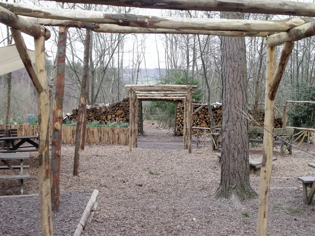
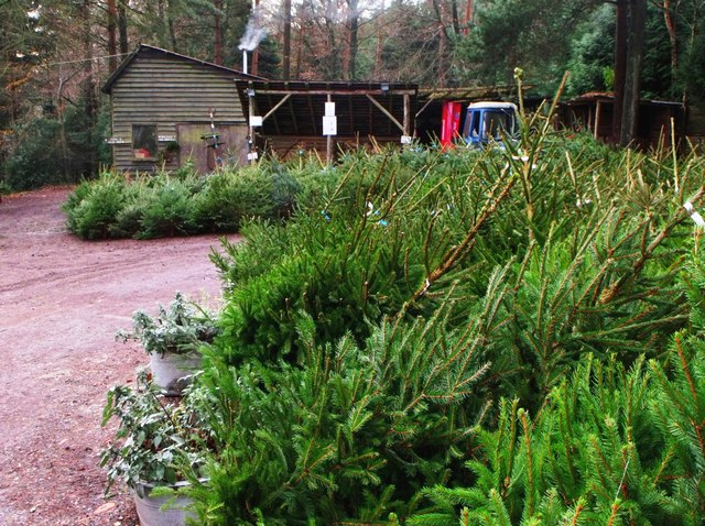
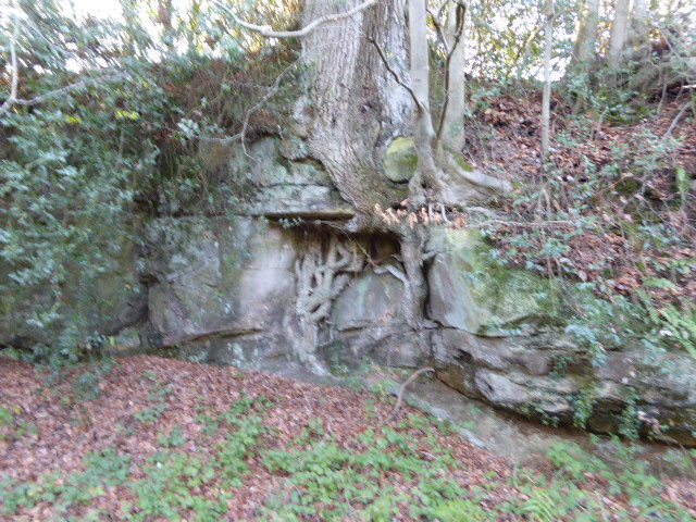
Characterized by its dense canopy and diverse flora, Clark's Wood offers a serene environment for visitors to explore. The forest is primarily composed of deciduous trees, including oak, beech, and birch, which provide a kaleidoscope of colors throughout the seasons. The forest floor is adorned with a lush carpet of ferns, mosses, and wildflowers, adding to its natural beauty.

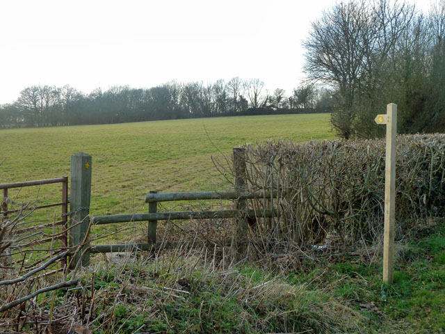
The wood is crisscrossed with well-maintained walking paths, enabling visitors to navigate through the forest with ease. These trails offer stunning views and opportunities to spot wildlife such as deer, foxes, and a variety of bird species. They also lead to hidden clearings and secluded picnic spots, perfect for enjoying a leisurely lunch surrounded by nature.

Clark's Wood is not only a haven for wildlife but also a significant historical site. It is believed to have been in existence for centuries, with evidence of human occupation dating back to the Roman era. The wood has witnessed many historical events and served as a vital resource for timber and fuel throughout the ages.

Today, Clark's Wood continues to be a cherished natural gem in Sussex, attracting visitors from near and far. Its combination of natural beauty, recreational opportunities, and historical significance make it a must-visit destination for nature enthusiasts and history lovers alike.

If you have any feedback on the listing, please let us know in the comments section below.

Clark's Wood Images

Images are sourced within 2km of 50.997773/0.16369096 or Grid Reference TQ5124. Thanks to Geograph Open Source API. All images are credited.

St. Mark's, Hadlow Down, East Sussex
St. Mark's, Hadlow Down, East Sussex (2)
Picnic area, Wilderness Wood, Hadlow Down Wilderness Wood is a visitor attraction focusing mainly on nature walks and especially wood and its use.
Picnic area, Wilderness Wood, Hadlow Down
Wilderness Wood is a visitor attraction focusing mainly on nature walks and especially wood and its use.
Christmas trees, Wilderness Wood, Hadlow Down
Minor road junction, Hadlow Down
Sharp bend on Brick Kiln Lane A small stream is crossed just before the bend - the white wooden railing on the right marks the spot.
Sharp bend on Brick Kiln Lane
A small stream is crossed just before the bend - the white wooden railing on the right marks the spot.
A pull-in on the A272 A useful thing to remember on this sort of road, the trouble is, they are often hogged by a lorry. This is by the entrance to Five Chimneys Cottage, according to the sign. The road here is called The Toll, a clue to its turnpike origins.
A pull-in on the A272
A useful thing to remember on this sort of road, the trouble is, they are often hogged by a lorry. This is by the entrance to Five Chimneys Cottage, according to the sign. The road here is called The Toll, a clue to its turnpike origins.
Entering Buxted A 40 limit on the outskirts, then a 30 limit. On the right is the turning for Howbourne Lane, a no through road.
Entering Buxted
A 40 limit on the outskirts, then a 30 limit. On the right is the turning for Howbourne Lane, a no through road.
30 - slow down in Buxted Whoops! A bit too fast. It is easy to exceed the limit in this direction which is continuously downhill.
30 - slow down in Buxted
Whoops! A bit too fast. It is easy to exceed the limit in this direction which is continuously downhill.
Stonehurst Lane through unnamed wood This small wood has no name, or if it has, the cartographers were not told of it.
Stonehurst Lane through unnamed wood
This small wood has no name, or if it has, the cartographers were not told of it.
Footpath towards Tibbs Mill Lane Path Hadlow Down 7 starts here on Hastingford Lane.
Footpath towards Tibbs Mill Lane
Path Hadlow Down 7 starts here on Hastingford Lane.
Lane junction on Wilderness Lane
St Mark the Evangelist, Hadlow Down In 1835 the Earl and Countess de la Warr gave land for a church in Hadlow Down, and the Prime Minister, Lord Liverpool, contributed £100. The church was consecrated in 1836, however, it was demolished in the early 20th Century  retaining the tower and walls of the nave, and a new structure erected incorporating a fine new chancel and chapel. It was dedicated to St Mark in 1913. The rebuilding was at the expense of Charles Lang Huggins of Hadlow Grange. The attractive Lady Chapel was designed for private prayer and meditation.
An electronic organ was installed in 1993.
St Mark the Evangelist, Hadlow Down
In 1835 the Earl and Countess de la Warr gave land for a church in Hadlow Down, and the Prime Minister, Lord Liverpool, contributed £100. The church was consecrated in 1836, however, it was demolished in the early 20th Century retaining the tower and walls of the nave, and a new structure erected incorporating a fine new chancel and chapel. It was dedicated to St Mark in 1913. The rebuilding was at the expense of Charles Lang Huggins of Hadlow Grange. The attractive Lady Chapel was designed for private prayer and meditation. An electronic organ was installed in 1993.
Interior St Mark's church, Hadlow Down Looking west
Interior St Mark's church, Hadlow Down
Looking west
Road junction near Popeswood Farm Rosers Common off to the left
Road junction near Popeswood Farm
Rosers Common off to the left
Land near Hastingford Farm The river Uck runs behind the trees on the right of the photo.
Land near Hastingford Farm
The river Uck runs behind the trees on the right of the photo.
Drive to Huggetts Furnace Farm
Wood stack, Wilderness Wood By a waymarked walking route.
Wood stack, Wilderness Wood
By a waymarked walking route.
Show me another place!

Clark's Wood is located at Grid Ref: TQ5124 (Lat: 50.997773, Lng: 0.16369096)

Administrative County: East Sussex

District: Wealden

Police Authority: Sussex

What 3 Words

///broken.winds.deny. Near Buxted, East Sussex

Related Wikis

Stockland Farm Meadows

Stockland Farm Meadows is a 5.8-hectare (14-acre) biological Site of Special Scientific Interest south of Crowborough in East Sussex.These two species...

St Mark's Church, Hadlow Down

St Mark's Church (dedicated to St Mark the Evangelist) is an Anglican church in the village of Hadlow Down in the district of Wealden, one of six local...

Hadlow Down

Hadlow Down is a village and civil parish in the Wealden District of East Sussex, England. It is located on the A272 road three miles (4.8 km) north-west...

Five Ash Down Independent Chapel

Five Ash Down Independent Chapel is an independent Evangelical church in the Reformed (Calvinist) tradition in the hamlet of Five Ash Down, East Sussex...

Providence Chapel, Hadlow Down

Providence Chapel is a former independent Calvinistic place of worship in the village of Hadlow Down in Wealden, one of six local government districts...

Hastingford Cutting

Hastingford Cutting is a 0.04-hectare (0.099-acre) geological Site of Special Scientific Interest south of Crowborough in East Sussex. It is a Geological...
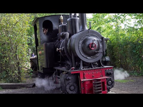
Great Bush Railway

The Great Bush Railway is a private, 2 ft (610 mm) narrow gauge running round the edge of Tinkers Park, Hadlow Down, Sussex. The railway is operated by...

Vanguard Way

The Vanguard Way is a long-distance walk of 66.2 mi (106.5 km) from East Croydon station in outer London (OS grid reference TQ328658), travelling from...

Related Videos

Open Day Hadlow Down 2022

Open Day at Tinkers Park Hadlow Down, includes great bush narrow gauge railway, miniature passenger railway, traction ...

Tinkers Park Steam Rally 2022

Tinkers Park Steam Rally 2022, some of the highlights of the rally I managed to capture, whilst walking round, it includes classic ...

Great Bush Railway UK. Narrow Gauge Railway. Tinkers Park. Cab Ride Orenstein and Koppel 0-6-0 UK.

Tinkers Park. Great Bush Industrial Narrow Gauge Railway. Orenstein and Koppel 0-6-0 Cab Ride. A great 2 foot British Narrow ...

Nearby Amenities

Located within 500m of 50.997773,0.16369096
Nashes Farm
Place: farm
Lat/Long: 50.9988063/0.1664123
Upper Wood
Natural: wood
Lat/Long: 50.9962574/0.1699312
CMR Electrical
Man Made: works
Lat/Long: 50.9981086/0.1682539
The data included in this document is from www.openstreetmap.org. The data is made available under ODbL.

Have you been to Clark's Wood?

Leave your review of Clark's Wood below (or comments, questions and feedback).