Lower Beechen Wood

Wood, Forest in Kent Sevenoaks

England

Lower Beechen Wood

Lullingstone Castle, near Shoreham, Kent
Lullingstone Castle, near Shoreham, Kent Credit: Becky Williamson

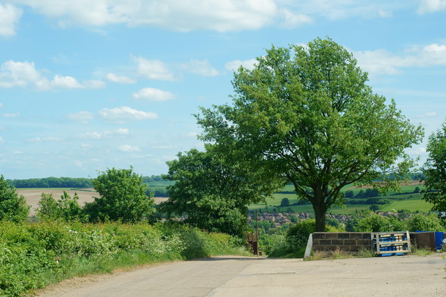
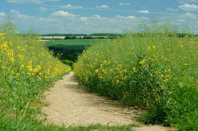
Lower Beechen Wood is a picturesque woodland located in the county of Kent, England. Covering an area of approximately 20 hectares, this enchanting forest is nestled within the High Weald Area of Outstanding Natural Beauty. The wood is primarily composed of deciduous trees, including oak, ash, beech, and birch, which form a lush canopy that provides ample shade during the summer months.

The forest floor of Lower Beechen Wood is adorned with a diverse array of flora, creating a vibrant and colorful tapestry. Bluebells, foxgloves, primroses, and wood anemones carpet the ground in spring, attracting a variety of insects and small wildlife. The wood is also home to an abundance of bird species, including woodpeckers, thrushes, and warblers, making it a haven for birdwatchers.

Visitors to Lower Beechen Wood can explore its many walking trails, meandering through the ancient trees and discovering the hidden delights of the woodland. The tranquil atmosphere and peaceful surroundings make it an ideal destination for nature lovers seeking solace and relaxation. The wood is well-maintained, with clear paths and signposts to guide visitors through its enchanting landscape.

Lower Beechen Wood is easily accessible, located just a short distance from the village of Goudhurst. It offers ample parking facilities and is open to the public throughout the year, free of charge. Whether it is for a leisurely stroll, a family picnic, or wildlife observation, Lower Beechen Wood offers a captivating experience for all who venture into its magical realm.

If you have any feedback on the listing, please let us know in the comments section below.

Lower Beechen Wood Images

Images are sourced within 2km of 51.355068/0.17924972 or Grid Reference TQ5164. Thanks to Geograph Open Source API. All images are credited.

Lullingstone Castle, near Shoreham, Kent
Bridge over River Darent at Castle Farm
Cottages on Darent River,  north of Shoreham Village, Kent
Cottages on Darent River, north of Shoreham Village, Kent
Bald Eagle at Eagle Heights, Eynsford, Kent Bald eagle (Haliaeetus leucocephalus). Seen during the lunchtime flying display.
<span class="nowrap"><a title="http://www.eagleheights.co.uk/" rel="nofollow ugc noopener" href="http://www.eagleheights.co.uk/">Link</a><img style="margin-left:2px;" alt="External link" title="External link - shift click to open in new window" src="https://s1.geograph.org.uk/img/external.png" width="10" height="10"/></span>
Bald Eagle at Eagle Heights, Eynsford, Kent
Bald eagle (Haliaeetus leucocephalus). Seen during the lunchtime flying display. LinkExternal link
Cheetah at Eagle Heights, Eynsford, Kent One of three cheetahs (Acinonyx jubatus) in the enclosure.
<span class="nowrap"><a title="http://www.eagleheights.co.uk/" rel="nofollow ugc noopener" href="http://www.eagleheights.co.uk/">Link</a><img style="margin-left:2px;" alt="External link" title="External link - shift click to open in new window" src="https://s1.geograph.org.uk/img/external.png" width="10" height="10"/></span>
Cheetah at Eagle Heights, Eynsford, Kent
One of three cheetahs (Acinonyx jubatus) in the enclosure. LinkExternal link
View From Eagle Heights, Eynsford, Kent Looking in the direction of Capricorn Farm. The railway line runs between the double row of diagonal hedges, to the right of picture
View From Eagle Heights, Eynsford, Kent
Looking in the direction of Capricorn Farm. The railway line runs between the double row of diagonal hedges, to the right of picture
View From Eagle Heights, Eynsford, Kent Looking across the valley, in the direction of Eynsford.
View From Eagle Heights, Eynsford, Kent
Looking across the valley, in the direction of Eynsford.
Footpath to Eynsford, Kent Leaving the road, just below Eagle Heights; the footpath heads towards Eynsford, crossing the railway line en route. Photographed through the fading yellow of the rape crop.
Footpath to Eynsford, Kent
Leaving the road, just below Eagle Heights; the footpath heads towards Eynsford, crossing the railway line en route. Photographed through the fading yellow of the rape crop.
Eynsford Railway Station, Kent Looking towards the village centre, from the footbridge.
Eynsford Railway Station, Kent
Looking towards the village centre, from the footbridge.
View From Eagle Heights, Eynsford, Kent Edge of the field, with a house just out of picture, to the right. On the skyline, Farningham Woods can be seen.
View From Eagle Heights, Eynsford, Kent
Edge of the field, with a house just out of picture, to the right. On the skyline, Farningham Woods can be seen.
Footpath to Eynsford, Kent Photograph taken from the road, near Eagle Heights.
Footpath to Eynsford, Kent
Photograph taken from the road, near Eagle Heights.
Footpath to Lullingstone, Kent Photograph taken from the road, close to Eagle Heights.
Footpath to Lullingstone, Kent
Photograph taken from the road, close to Eagle Heights.
Junction on Lullingstone Lane, Kent Looking in the direction of Eynsford. The road, to the left, climbs the hill to Eagle Heights.
Junction on Lullingstone Lane, Kent
Looking in the direction of Eynsford. The road, to the left, climbs the hill to Eagle Heights.
Lullingstone Castle Visitor Centre, Kent Photographed from the footpath which runs between the A225 and Lullingstone Lane.
Lullingstone Castle Visitor Centre, Kent
Photographed from the footpath which runs between the A225 and Lullingstone Lane.
Bridge Over the River Darent, Kent A private road, but public footpath, near to the Lullingstone Castle visitor centre.
Bridge Over the River Darent, Kent
A private road, but public footpath, near to the Lullingstone Castle visitor centre.
View Towards Newbarn Farm, Eynsford, Kent Photographed from the public footpath, close to the A225.
View Towards Newbarn Farm, Eynsford, Kent
Photographed from the public footpath, close to the A225.
View Towards Newbarn Farm, Eynsford, Kent Photographed from the private road, but public footpath, which runs between the A225, and Lullingstone Lane. On the skyline, Eagle Heights can just be seen.
View Towards Newbarn Farm, Eynsford, Kent
Photographed from the private road, but public footpath, which runs between the A225, and Lullingstone Lane. On the skyline, Eagle Heights can just be seen.
Telephone Box at Newbarn Farm, Eynsford, Kent This telephone box has obviously seen better days. Whether it has ever been an operational box, in this location, I doubt. An OS map, dating from 1999, does not show the box.
Telephone Box at Newbarn Farm, Eynsford, Kent
This telephone box has obviously seen better days. Whether it has ever been an operational box, in this location, I doubt. An OS map, dating from 1999, does not show the box.
Show me another place!

Lower Beechen Wood is located at Grid Ref: TQ5164 (Lat: 51.355068, Lng: 0.17924972)

Administrative County: Kent

District: Sevenoaks

Police Authority: Kent

What 3 Words

///behave.grand.eaten. Near Eynsford, Kent

Related Wikis

Lullingstone

Lullingstone is a village in the county of Kent, England. It is best known for its castle, Roman villa and its public golf course. Lullingstone was a civil...
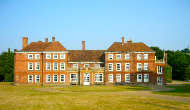
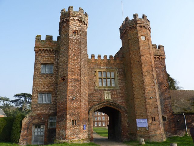
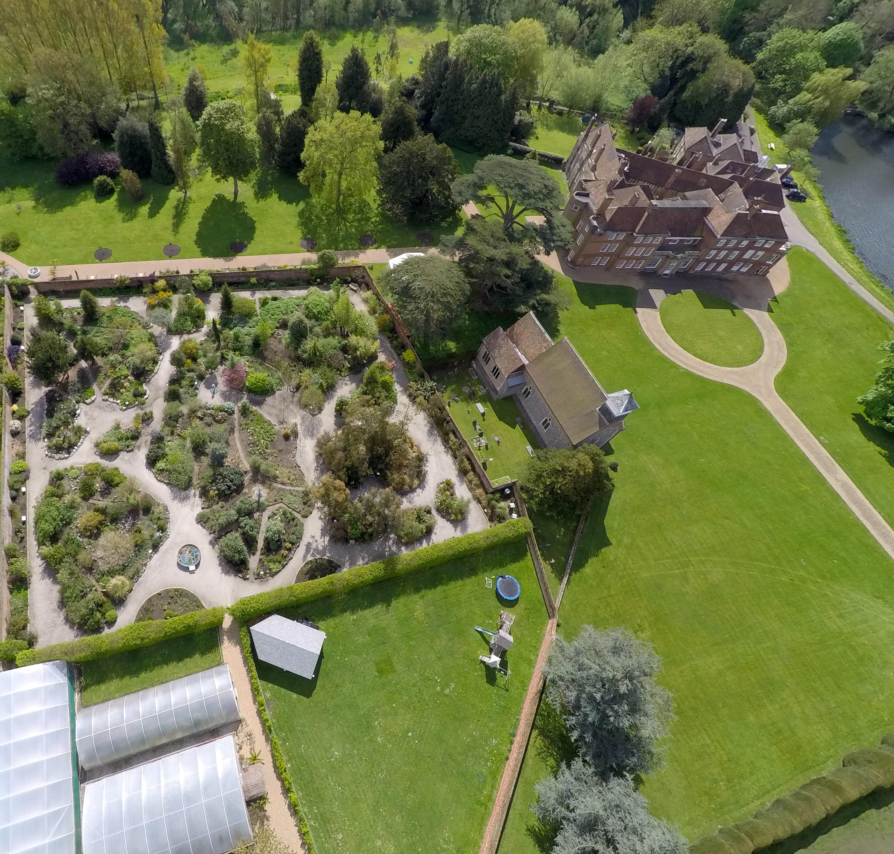
Lullingstone Castle

Lullingstone Castle is a historic manor house, set in an estate in the village of Lullingstone and the civil parish of Eynsford in the English county of...

St Botolph's Church, Lullingstone

St Botolph's Church is an Anglican church in the village of Lullingstone, in Kent, England, situated on the lawn of Lullingstone Castle. It dates from...

Preston Hill Country Park

Preston Hill Country Park is in Eynsford, in Kent, England. It is a woodland and former military firing range. Within the site of the park and woodland...

1934 London, Scottish & Provincial Airways Airspeed Courier crash

On 29 September 1934, an Airspeed Courier of London, Scottish & Provincial Airways Ltd crashed just north of Shoreham, Kent. The aircraft was on a scheduled...

Lullingstone Roman Villa

Lullingstone Roman Villa is a villa built during the Roman occupation of Britain, situated in Lullingstone near the village of Eynsford in Kent, south...

Eynsford railway station

Eynsford railway station serves Eynsford in Kent, England. It is 20 miles 32 chains (32.8 km) down the line from London Victoria and is situated between...

Shoreham Memorial Cross

The Shoreham Memorial Cross is a Christian cross hill figure carved into a chalk escarpment above the village of Shoreham, Kent. The concept of the cross...

Nearby Amenities

Located within 500m of 51.355068,0.17924972
Power: tower
Lat/Long: 51.3511963/0.1817473
Power: tower
Lat/Long: 51.3510944/0.1805285
Power: tower
Lat/Long: 51.3510033/0.1796959
Power: tower
Lat/Long: 51.3508103/0.1776875
Waste Basket
Waste: dog_excrement
Lat/Long: 51.354457/0.1830231
Bench
Lat/Long: 51.356812/0.1770108
Bench
Lat/Long: 51.3556819/0.1748181
Access: permissive
Barrier: kissing_gate
Maxwidth Physical: 0.82
Lat/Long: 51.3543963/0.1828998
The data included in this document is from www.openstreetmap.org. The data is made available under ODbL.

Have you been to Lower Beechen Wood?

Leave your review of Lower Beechen Wood below (or comments, questions and feedback).