Eastbrook Grove
Wood, Forest in Essex
England
Eastbrook Grove
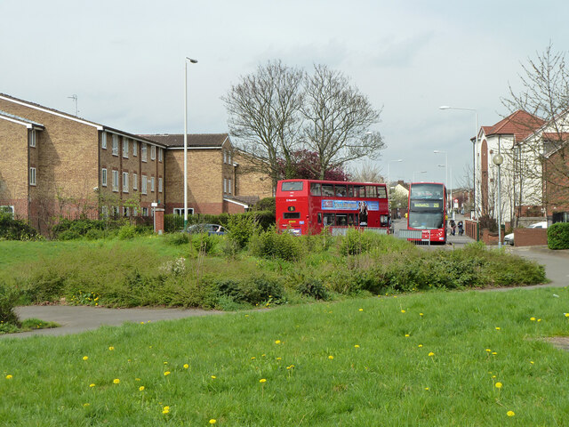
Eastbrook Grove is a picturesque residential area located in Essex, specifically within the Wood and Forest districts. Situated amidst beautiful green surroundings, the neighborhood offers a tranquil and idyllic living experience for its residents.
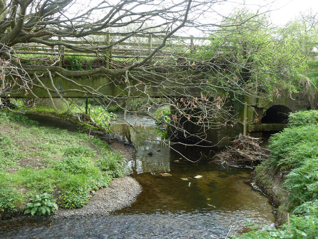
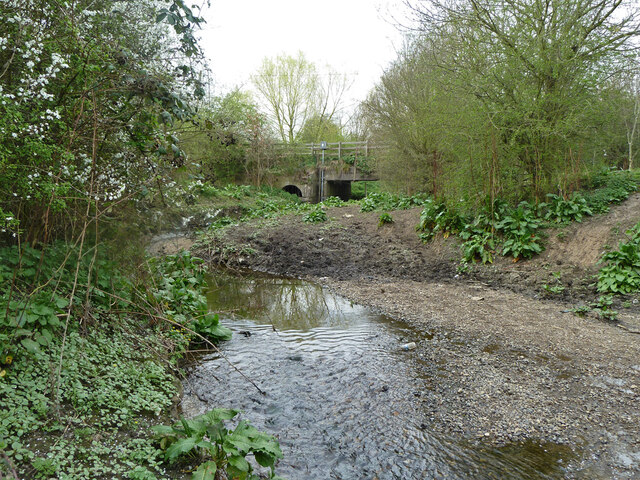
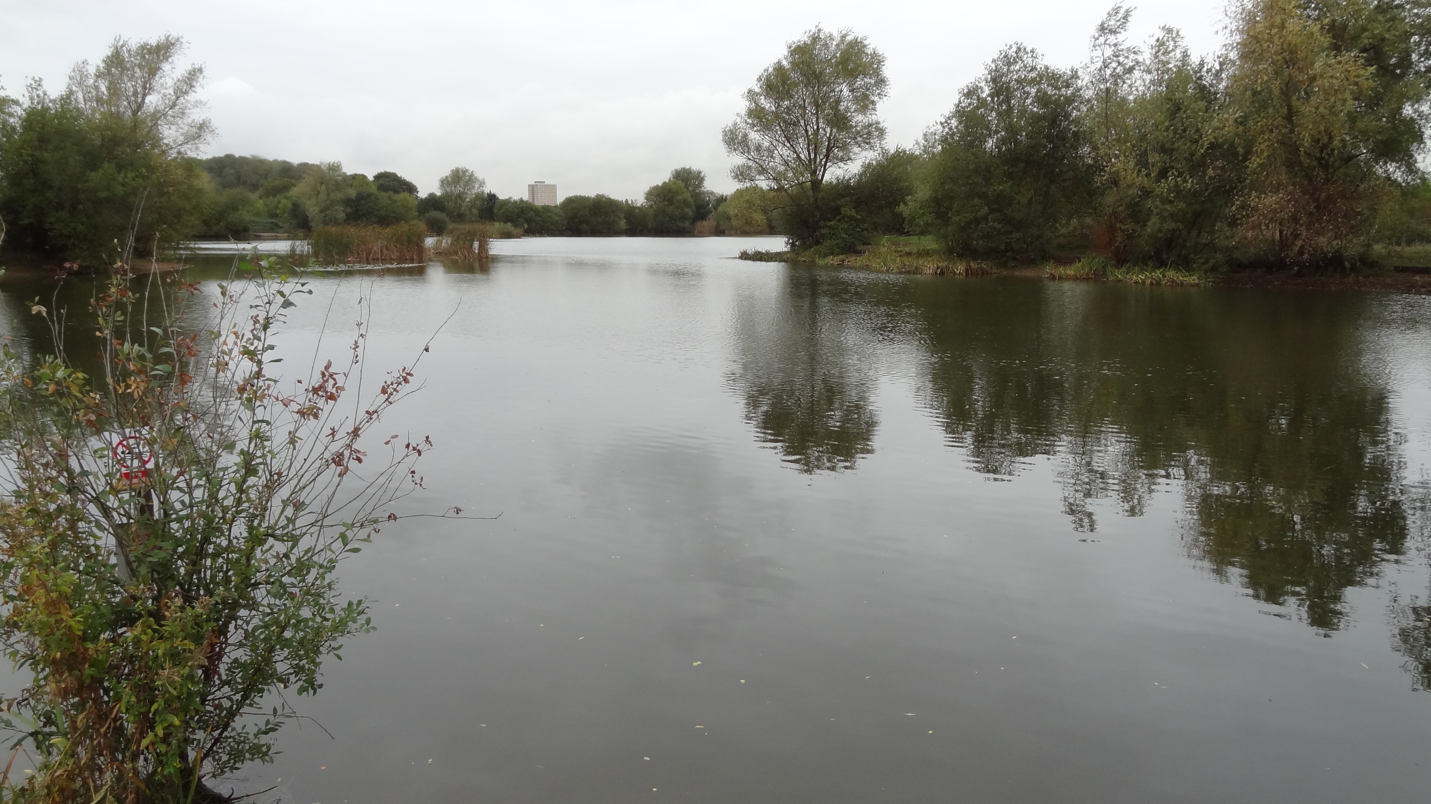
Known for its abundant green spaces and well-maintained parks, Eastbrook Grove attracts nature enthusiasts and those seeking a peaceful environment. The area is characterized by its lush vegetation, with tall trees lining the streets and colorful flowerbeds adorning the sidewalks.
The residential properties in Eastbrook Grove consist of a mix of charming cottages and modern houses, providing a diverse range of housing options to suit different preferences. The architecture in the area is predominantly traditional, reflecting the charm and character of the region.
Residents of Eastbrook Grove benefit from a close-knit community and a range of amenities within easy reach. The neighborhood has several local shops, cafes, and restaurants, offering convenience and a sense of community. There are also recreational facilities, including sports fields, playgrounds, and walking trails, providing opportunities for outdoor activities and exercise.
In terms of transportation, Eastbrook Grove benefits from good connectivity. The neighborhood is well-served by local bus routes, making it easy to access nearby towns and cities. Additionally, major road networks are easily accessible, allowing for convenient travel to other parts of Essex and beyond.
Overall, Eastbrook Grove offers a harmonious blend of natural beauty, community spirit, and convenient living, making it a highly desirable place to reside in Essex.
If you have any feedback on the listing, please let us know in the comments section below.
Eastbrook Grove Images
Images are sourced within 2km of 51.551161/0.17536757 or Grid Reference TQ5085. Thanks to Geograph Open Source API. All images are credited.


Eastbrook Grove is located at Grid Ref: TQ5085 (Lat: 51.551161, Lng: 0.17536757)
Unitary Authority: Barking and Dagenham
Police Authority: Metropolitan
What 3 Words
///comic.doctor.firm. Near Dagenham, London
Nearby Locations
Related Wikis
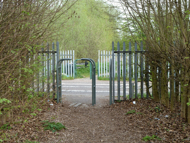
Eastbrookend Country Park
Eastbrookend Country Park is an 84-hectare park and Local Nature Reserve in Dagenham in the London Borough of Barking and Dagenham, in England. Together...

Elutec
Elutec (East London University Technical College) is a University Technical College located in Dagenham in the London Borough of Barking and Dagenham,...

Beam Valley Country Park
Beam Valley Country Park is a 74-hectare park in Dagenham in the London Borough of Barking and Dagenham. Most of it is designated as a Local Nature Reserve...

Eastbrook, Dagenham
The Eastbrook is a Grade II* listed public house at Dagenham Road, Dagenham, London.In listing it at Grade II*, Historic England note its "smart Neo-Georgian...
Nearby Amenities
Located within 500m of 51.551161,0.17536757Have you been to Eastbrook Grove?
Leave your review of Eastbrook Grove below (or comments, questions and feedback).