Foreberry Wood North
Wood, Forest in Essex
England
Foreberry Wood North
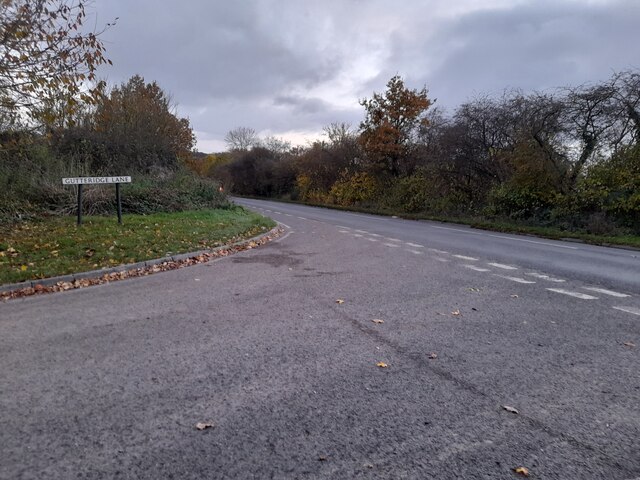
Foreberry Wood North is a picturesque woodland located in the county of Essex, England. Covering an area of approximately 150 acres, the wood is known for its diverse range of flora and fauna, making it a popular destination for nature enthusiasts and hikers alike.
The woodland is primarily composed of deciduous trees, such as oak, beech, and birch, which create a dense canopy that provides shade during the summer months. The forest floor is adorned with an array of wildflowers, including bluebells, primroses, and wood anemones, adding bursts of color to the landscape.
Various species of wildlife call Foreberry Wood North their home, including deer, foxes, and a wide variety of bird species. It is not uncommon to spot a red kite soaring above the treetops or hear the melodic songs of woodland birds as you walk along the well-maintained trails.
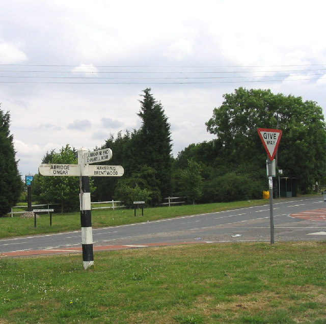
The wood is equipped with a network of walking paths, allowing visitors to explore the area at their own pace. These paths range from easy strolls to more challenging hikes, catering to individuals of all fitness levels. There are also designated picnic areas dotted throughout the wood, providing a tranquil spot to enjoy a packed lunch amidst nature's beauty.
Foreberry Wood North is easily accessible, with ample parking available nearby. The wood is open to the public throughout the year, although it is particularly stunning during the spring and autumn seasons when the trees are in full bloom or adorned with vibrant foliage.
Overall, Foreberry Wood North offers a serene escape from the hustle and bustle of everyday life, providing visitors with an opportunity to immerse themselves in the tranquility and natural beauty of the Essex countryside.
If you have any feedback on the listing, please let us know in the comments section below.
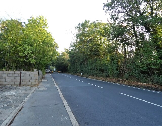
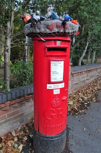
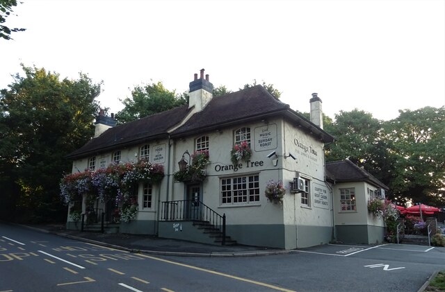
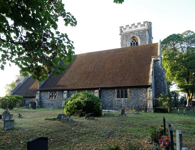
Foreberry Wood North Images
Images are sourced within 2km of 51.619036/0.15890783 or Grid Reference TQ4993. Thanks to Geograph Open Source API. All images are credited.

Foreberry Wood North is located at Grid Ref: TQ4993 (Lat: 51.619036, Lng: 0.15890783)
Unitary Authority: Havering
Police Authority: Metropolitan
What 3 Words
///dared.remove.acted. Near Collier Row, London
Nearby Locations
Related Wikis

Havering Country Park
Havering Country Park is a varied environment open space in the London Borough of Havering. It includes 100 acres (0.40 km2) of woodland. It is one of...

Havering Palace
Havering Palace was an old royal residence in England, in the village of Havering-atte-Bower (formerly in Essex, since 1965 in the London Borough of Havering...

Church of St John the Evangelist, Havering-atte-Bower
St John the Evangelist, Havering-atte-Bower is a Church of England religious building in the village of Havering-atte-Bower, an outlying settlement of...
Bower House
The Bower House is a grade I listed Palladian mansion in Havering-atte-Bower, England. It was built in 1729 by Henry Flitcroft. The stable block is separately...

The Round House (Havering)
The Round House is a Grade II* listed late Georgian elliptical stuccoed villa located on Broxhill Road in Havering-atte-Bower, London. The house was built...
Havering-atte-Bower
Havering-atte-Bower () is a village in Greater London, England, in the far north of the London Borough of Havering. The village lies 15 miles (24 km) northeast...

Hainault Forest
Hainault Forest was a large wooded area in the English counties of Essex and Greater London which was mostly destroyed after 1851. Popular outrage at the...

Stapleford Abbotts
Stapleford Abbotts is a village and civil parish in the Epping Forest district of Essex, approximately 5.5 mi (9 km) SW of Ongar, 4.5 mi (7 km) N of Romford...
Nearby Amenities
Located within 500m of 51.619036,0.15890783Have you been to Foreberry Wood North?
Leave your review of Foreberry Wood North below (or comments, questions and feedback).