Dust Wood
Wood, Forest in Kent Sevenoaks
England
Dust Wood
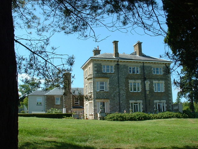
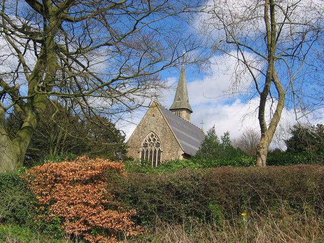
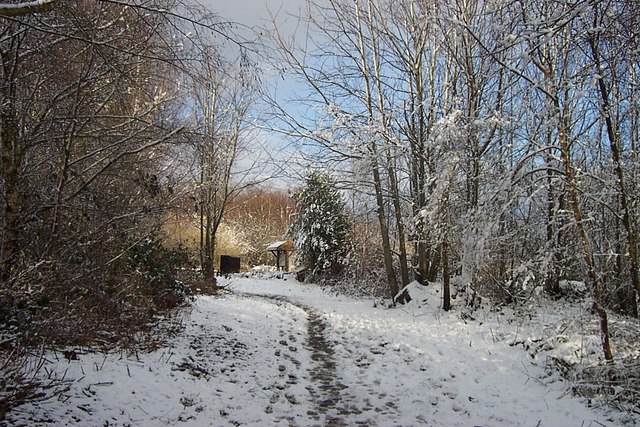
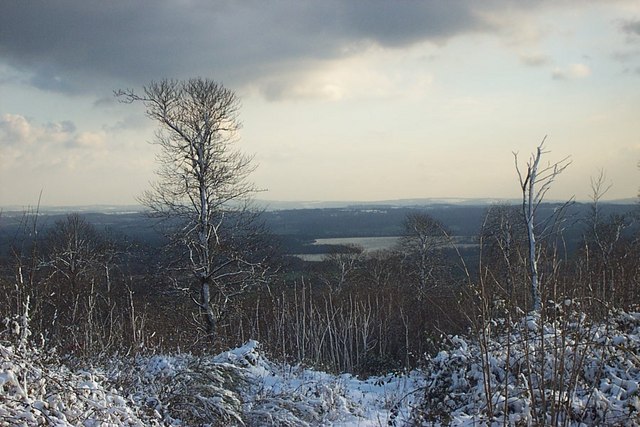
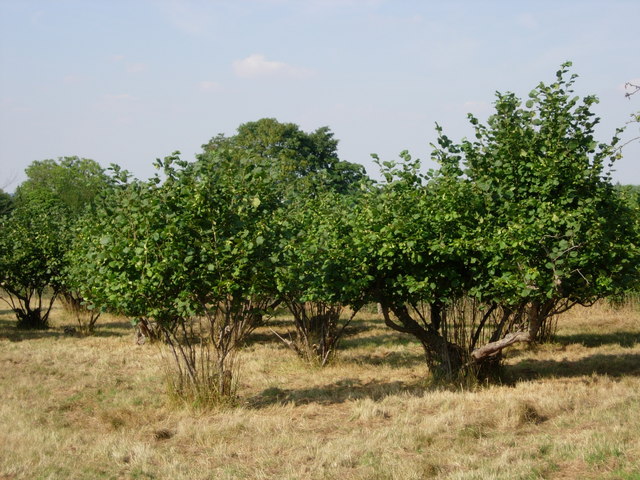
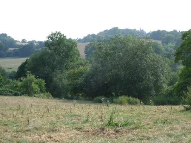
Dust Wood, located in Kent, England, is a picturesque forest that spans over a vast area of land. With its dense foliage, towering trees, and serene atmosphere, it is a haven for nature enthusiasts and outdoor adventurers alike. The wood is situated in close proximity to the village of Dust, lending its name to this enchanting natural wonder.
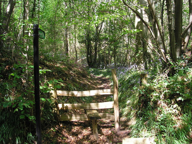
The wood boasts a diverse range of flora and fauna, making it a thriving ecosystem. Among the predominant tree species that inhabit Dust Wood are oak, beech, and ash, offering a beautiful tapestry of colors during the changing seasons. The forest floor is carpeted with a rich assortment of plants, including bluebells, wild garlic, and ferns, creating a stunning visual display.
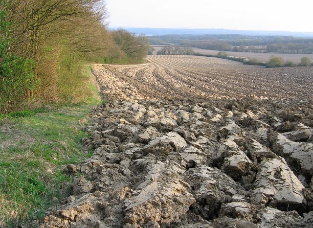
A network of well-maintained trails crisscrosses Dust Wood, allowing visitors to explore its beauty at their own pace. Hiking, walking, and birdwatching are popular activities, and the wood is home to various bird species, such as woodpeckers, robins, and owls. Wildlife enthusiasts may also spot rabbits, squirrels, and deer as they meander through the woodland.
Dust Wood provides a tranquil retreat away from the hustle and bustle of city life. Its peaceful ambiance, coupled with the gentle rustling of leaves and the sweet songs of birds, creates a sense of serenity and harmony with nature. Whether visitors seek a leisurely stroll, a picnic amidst the trees, or an immersive experience in the great outdoors, Dust Wood offers a memorable escape into the beauty of Kent's natural landscape.
If you have any feedback on the listing, please let us know in the comments section below.
Dust Wood Images
Images are sourced within 2km of 51.248574/0.13913187 or Grid Reference TQ4952. Thanks to Geograph Open Source API. All images are credited.

Dust Wood is located at Grid Ref: TQ4952 (Lat: 51.248574, Lng: 0.13913187)
Administrative County: Kent
District: Sevenoaks
Police Authority: Kent
What 3 Words
///other.gone.legal. Near Sundridge, Kent
Nearby Locations
Related Wikis

Ide Hill
Ide Hill is a village within the civil parish of Sundridge with Ide Hill, in the Sevenoaks District of Kent, England. It stands on one of the highest...

Stubbs Wood Country Park
Stubbs Wood Country Park is in Sevenoaks, in Kent, England. It is located on the Greensand Ridge, close to Ide Hill village. The site is owned and managed...

Emmetts Garden
Emmetts Garden is an Edwardian estate located at Ide Hill, near Sevenoaks in Kent, UK. It is now owned by the National Trust for Places of Historic Interest...

Scord's Wood and Brockhoult Mount
Scord's Wood and Brockhoult Mount is a 252.3-hectare (623-acre) biological Site of Special Scientific Interest west of Sevenoaks in Kent. Scord's Wood...

Sundridge, Kent
Sundridge is a village within the civil parish of Sundridge with Ide Hill, in the Sevenoaks district of Kent, England. The village is located on the A25...

Bessels Green
Bessels Green is a village now incorporated into the built-up area of Sevenoaks in Kent, England. It is on the north-western outskirts of Sevenoaks, in...
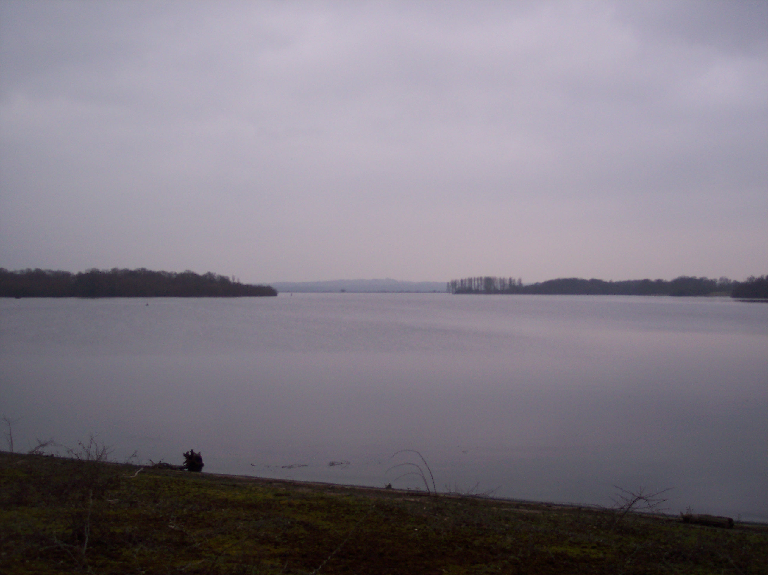
Bough Beech Reservoir
Bough Beech Reservoir is a 42-hectare (100-acre) nature reserve in Bough Beech, south-west of Sevenoaks in Kent. It was managed by the Kent Wildlife Trust...

Toys Hill
Toys Hill is a hamlet which lies within Brasted civil parish in the Sevenoaks district of Kent, England. It lies to the south of Brasted Chart, also in...
Nearby Amenities
Located within 500m of 51.248574,0.13913187Have you been to Dust Wood?
Leave your review of Dust Wood below (or comments, questions and feedback).