Far Green
Settlement in Gloucestershire Stroud
England
Far Green
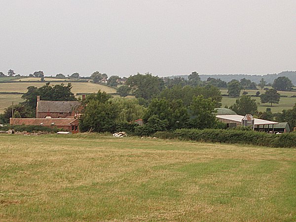
Far Green is a small village located in the county of Gloucestershire, England. Nestled amidst the picturesque Cotswold Hills, this rural settlement is known for its tranquil atmosphere and scenic surroundings. With a population of around 500 residents, Far Green offers a close-knit community feel.
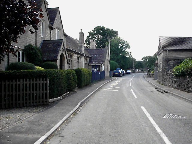
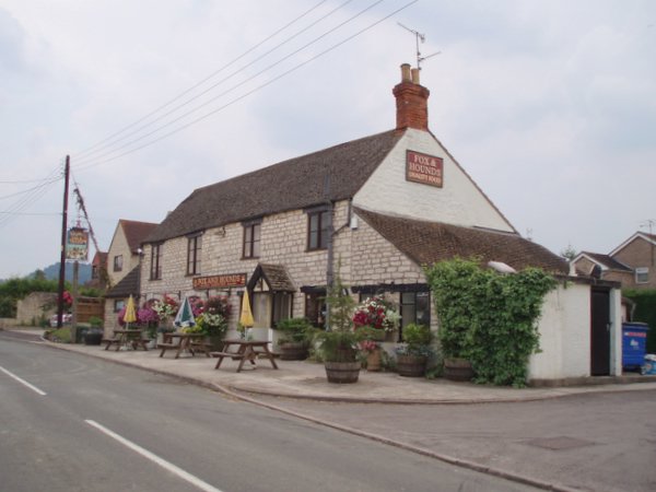
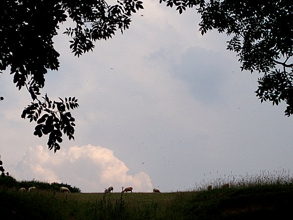
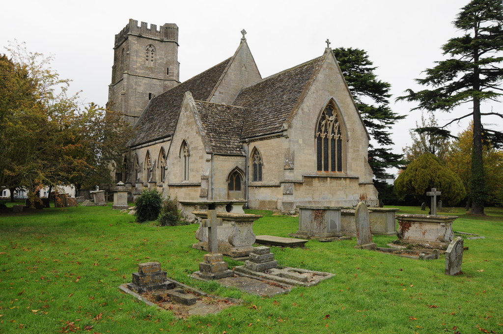
The village is characterized by its traditional stone houses and cottages, which add to the charm of the area. The local architecture reflects the region's historical significance, with some buildings dating back to the 17th century. Far Green is surrounded by rolling hills and stunning countryside, making it a popular destination for nature lovers and outdoor enthusiasts.
Despite its small size, the village offers a range of amenities to cater to its residents' needs. These include a local pub, a village hall, and a small convenience store. The village also benefits from good transportation links, with regular bus services connecting it to nearby towns and cities.
Far Green is situated within close proximity to several notable attractions. The historic town of Cirencester, known for its Roman heritage, is just a short drive away. The Cotswold Water Park, a vast nature reserve with numerous lakes and water-based activities, is also easily accessible from the village.
Overall, Far Green is a tranquil and picturesque village that offers a peaceful escape from the hustle and bustle of city life. Its idyllic countryside setting, combined with its sense of community, makes it a desirable place to live or visit.
If you have any feedback on the listing, please let us know in the comments section below.
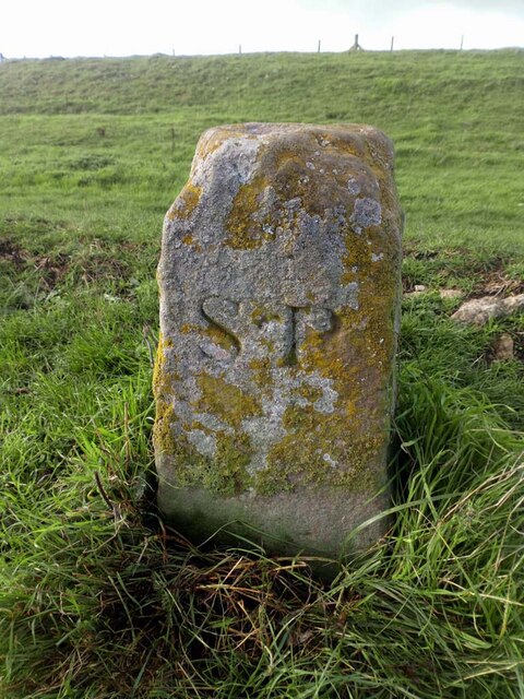
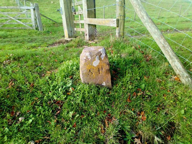
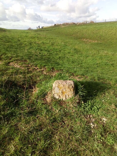
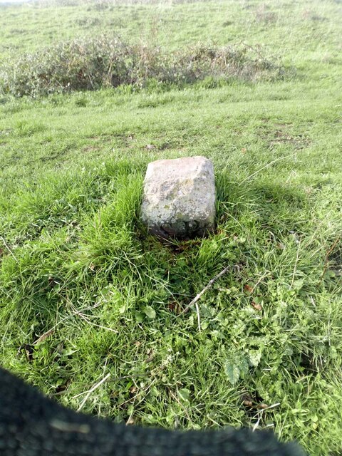
Far Green Images
Images are sourced within 2km of 51.703208/-2.320499 or Grid Reference SO7700. Thanks to Geograph Open Source API. All images are credited.


Far Green is located at Grid Ref: SO7700 (Lat: 51.703208, Lng: -2.320499)
Administrative County: Gloucestershire
District: Stroud
Police Authority: Gloucestershire
What 3 Words
///mango.stays.lamp. Near Dursley, Gloucestershire
Related Wikis

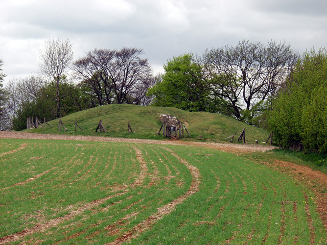
Uley Long Barrow
Uley Long Barrow, also known locally as Hetty Pegler's Tump, is a Neolithic burial mound, near the village of Uley, Gloucestershire, England. == Details... ==
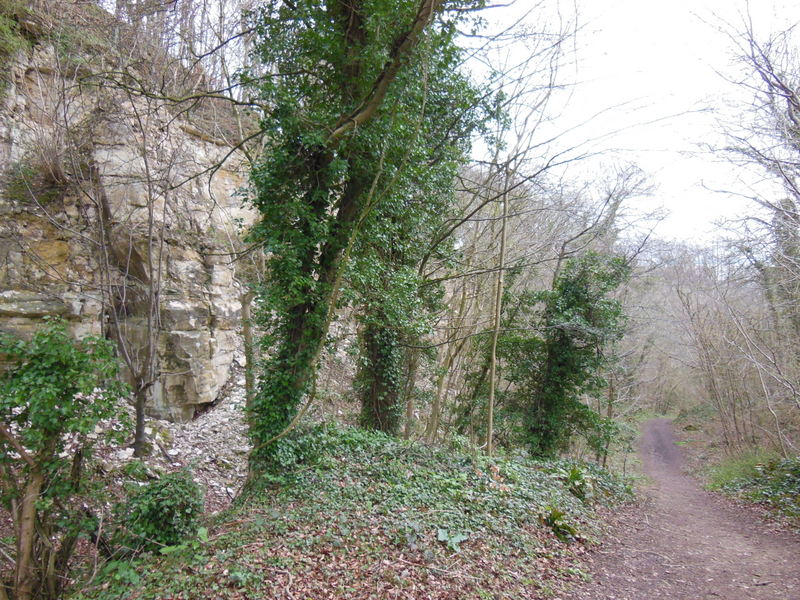
Coaley Wood Quarries
Coaley Wood Quarries (grid reference ST786996) is a 4.85-hectare (12.0-acre) geological Site of Special Scientific Interest in Gloucestershire, notified...
Coaley
Coaley is a village in the English county of Gloucestershire roughly 4 miles from the town of Dursley, and 5 miles from the town of Stroud. The village...

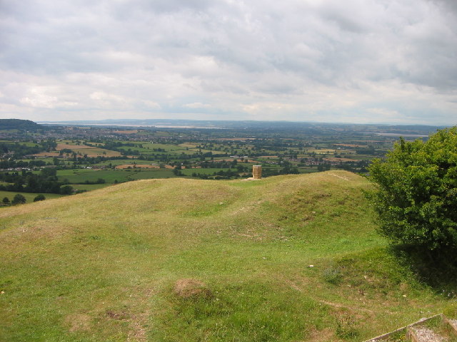
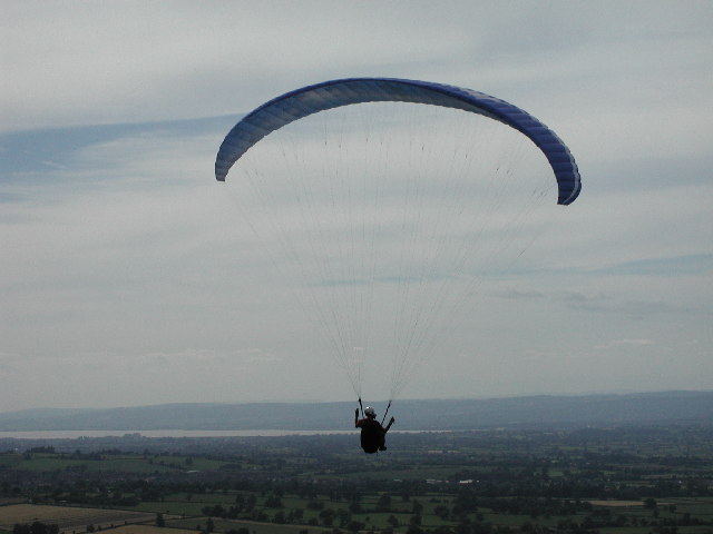
Coaley Peak
Coaley Peak is a picnic site and viewpoint in the English county of Gloucestershire. Located about 4 miles (6.4 km) south-west of the town of Stroud overlooking...

Uley Bury
Uley Bury is the long, flat-topped hill just outside Uley, Gloucestershire, England. It is an impressive multi-vallate, scarp-edge Iron Age hill fort dating...

Frocester
Frocester ( FROS-tər) is a village and civil parish in Stroud District, Gloucestershire, England. It lies below the Cotswold escarpment, 10 miles south...

Uley
Uley is a village and civil parish in the county of Gloucestershire, England. The parish includes the hamlets of Elcombe and Shadwell and Bencombe, all...

Parish Church of St George
The Parish Church of St George (Church of England) in the village of Cam, Gloucestershire, is an Anglican establishment situated in a slightly elevated...
Nearby Amenities
Located within 500m of 51.703208,-2.320499Have you been to Far Green?
Leave your review of Far Green below (or comments, questions and feedback).