Far Forest
Settlement in Worcestershire Wyre Forest
England
Far Forest
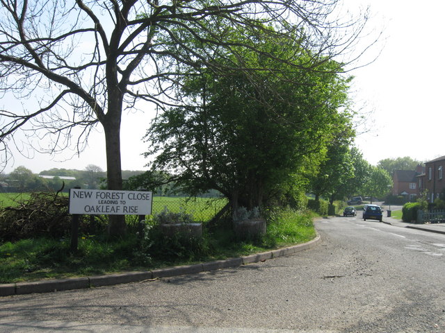
Far Forest is a small village located in the Wyre Forest district of Worcestershire, England. Situated approximately 7 miles west of Kidderminster, it is nestled within the enchanting Wyre Forest, one of the largest ancient woodlands in Britain.
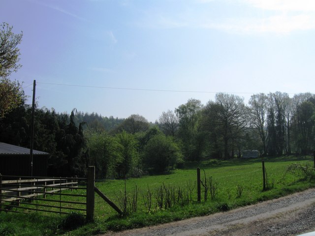
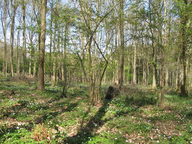
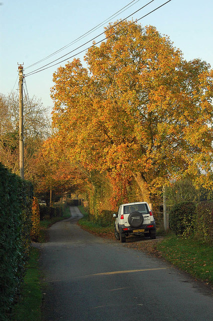
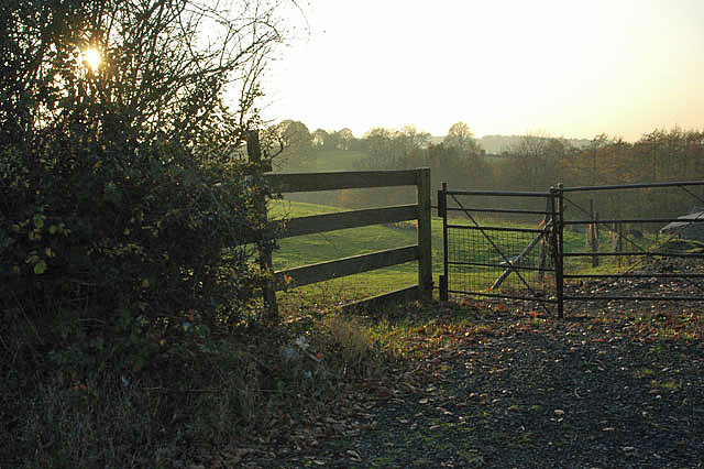
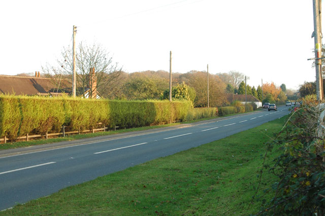
The village is surrounded by picturesque countryside, offering stunning views of rolling hills and verdant landscapes. Far Forest is known for its tranquil atmosphere, making it an ideal destination for those seeking a peaceful retreat. The area is abundant in wildlife, with various species of birds, deer, and other animals commonly spotted in the surrounding woodland.
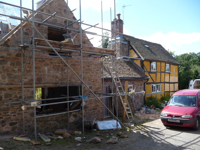
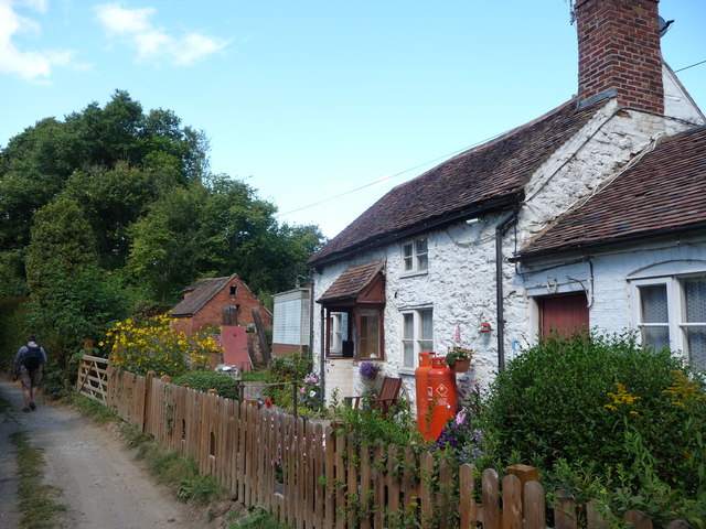
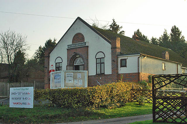
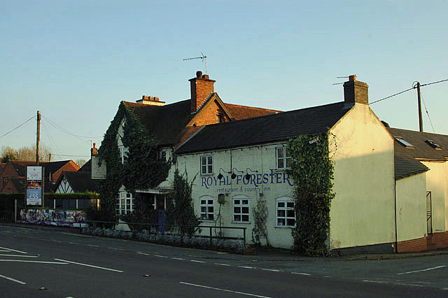
The village itself is home to a tight-knit community, with a population of around 500 residents. It boasts a few local amenities, including a village hall, a primary school, and a traditional country pub. Despite its small size, Far Forest has a rich history, dating back to the medieval era. The village is dotted with charming cottages and historic buildings that add to its character and appeal.
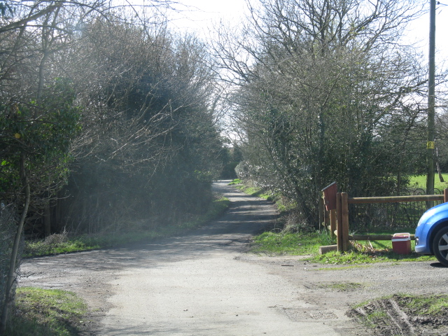
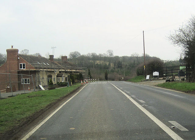
Outdoor enthusiasts will find plenty to explore in Far Forest. The nearby Wyre Forest offers numerous walking trails and cycling routes, allowing visitors to immerse themselves in nature. The forest also features a visitor center, where one can learn about the area's history and enjoy interactive exhibits.
Overall, Far Forest is a hidden gem in Worcestershire, offering a peaceful retreat amidst stunning natural beauty and a warm community spirit.
If you have any feedback on the listing, please let us know in the comments section below.
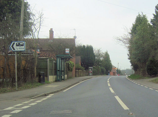
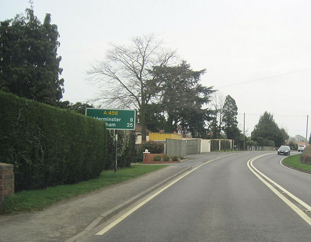
Far Forest Images
Images are sourced within 2km of 52.374859/-2.398199 or Grid Reference SO7275. Thanks to Geograph Open Source API. All images are credited.


Far Forest is located at Grid Ref: SO7275 (Lat: 52.374859, Lng: -2.398199)
Administrative County: Worcestershire
District: Wyre Forest
Police Authority: West Mercia
What 3 Words
///waters.stolen.wagers. Near Bewdley, Worcestershire
Nearby Locations
Related Wikis

Far Forest
Far Forest is a small village in north Worcestershire, England, approximately 3.5 miles (5.6 km) west of Bewdley, and next to the border with Shropshire...

Wyre Forest railway station
Wyre Forest railway station was a station to the north of Far Forest, Worcestershire, England. The station which served the Wyre Forest was opened in 1869...
Fingerpost, Worcestershire
Fingerpost is a hamlet and road junction in north Worcestershire, England, approximately 3 miles (4.8 km) west of Bewdley. It is located at the junction...

Wyre Forest
Wyre Forest is a large, semi-natural (partially unmanaged) woodland and forest measuring 26.34 square kilometres (10.17 sq mi) which straddles the borders...

Cleobury Mortimer railway station
Cleobury Mortimer railway station was a station in Cleobury Mortimer, Shropshire, England. The station was opened in 1864 and closed in 1962. Station buildings...

Bliss Gate
Bliss Gate is a small village in Worcestershire, England. It had many attractive tourist landmarks such as the Bliss Gate Inn (now closed) and a village...

Knowles Mill
Knowles Mill is the remains of an eighteenth-century water-powered grain mill, located in the Wyre Forest in Worcestershire, England. The mill has been...
Button Oak
Button Oak is a small village in the English county of Shropshire, England. It is 3 miles north west of Bewdley. Button Oak is very similar to nearby...
Nearby Amenities
Located within 500m of 52.374859,-2.398199Have you been to Far Forest?
Leave your review of Far Forest below (or comments, questions and feedback).