Calendar Spring

Wood, Forest in Essex Uttlesford

England

Calendar Spring

Arable land
Arable land Credit: N Chadwick

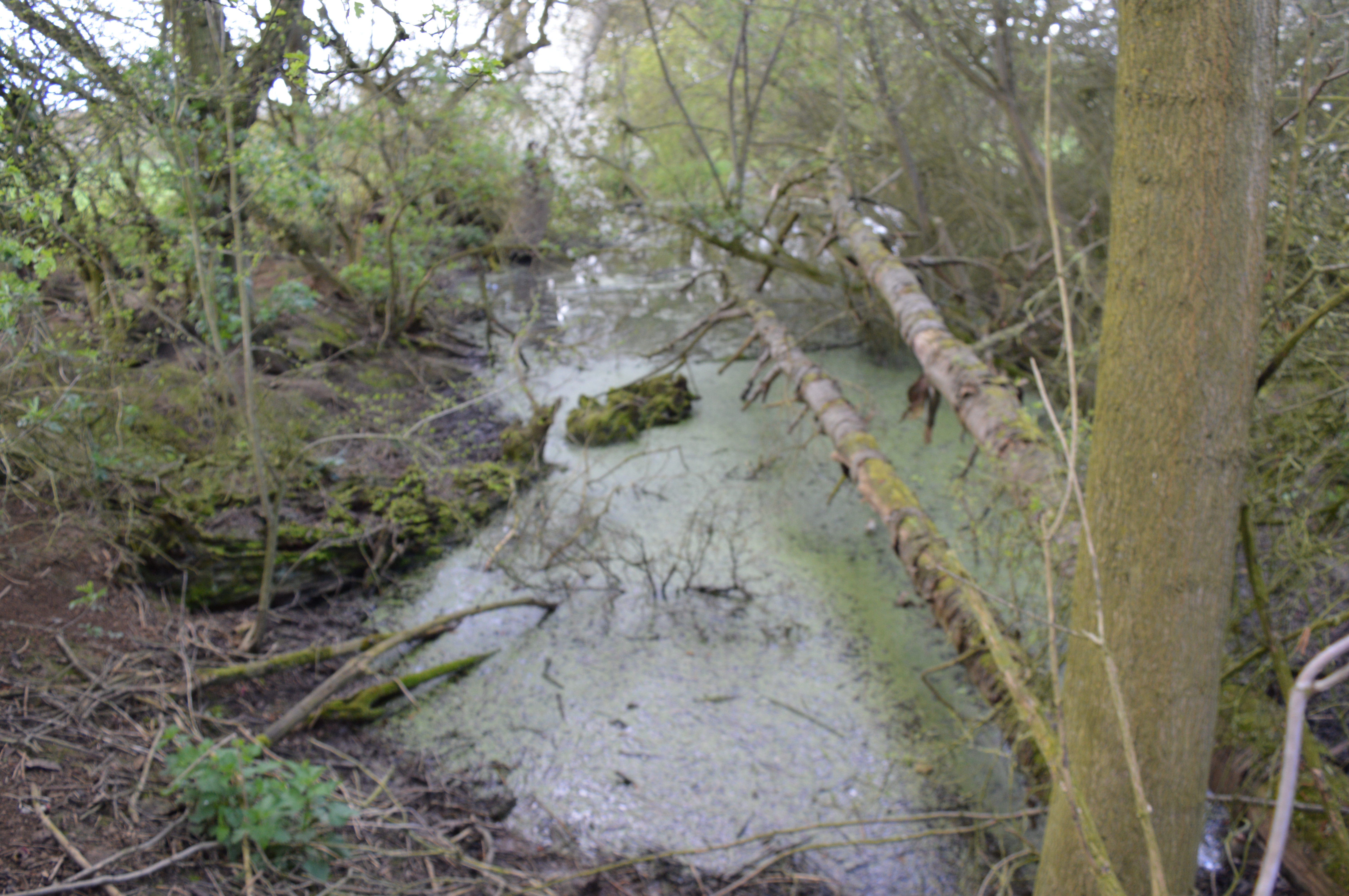
Calendar Spring is a picturesque woodland located in Essex, England. Situated in the heart of the county, this natural haven is known for its stunning beauty and diverse ecosystem. Spanning over a vast area, the woodland is predominantly covered by a mix of deciduous and coniferous trees, creating a vibrant and colorful landscape throughout the year.

The name "Calendar Spring" aptly describes the woodland's enchanting transformation as the seasons change. In spring, the forest comes alive with an explosion of blossoming flowers, vibrant green foliage, and the cheerful melodies of numerous bird species. This season is a particularly popular time for visitors, as the woodland becomes a haven for nature enthusiasts, photographers, and families seeking a tranquil escape.

The forest is also home to a wide variety of wildlife. Deer, foxes, badgers, and rabbits are commonly spotted within the woodland, adding to the enchanting atmosphere. Birdwatchers can delight in the sight of woodpeckers, owls, and various songbirds, as they nest and fill the air with their melodious tunes.

With numerous walking trails and pathways, Calendar Spring offers visitors the opportunity to immerse themselves in its natural beauty. Whether it's a leisurely stroll or a more challenging hike, there is something for everyone to enjoy. The woodland also boasts picnic areas, making it an ideal spot for a family day out or a peaceful lunch amidst nature.

Overall, Calendar Spring in Essex is a captivating woodland, offering a serene escape from the hustle and bustle of everyday life. Its breathtaking beauty, abundant wildlife, and tranquil atmosphere make it a must-visit destination for nature lovers and those seeking a rejuvenating experience in the heart of nature.

If you have any feedback on the listing, please let us know in the comments section below.

Calendar Spring Images

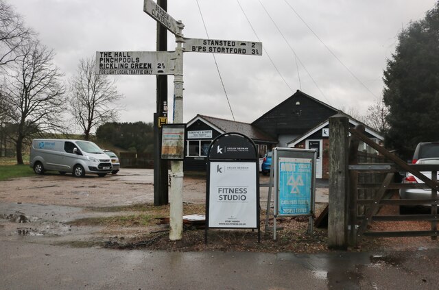
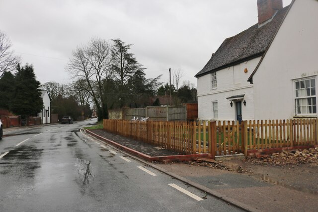
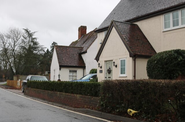
Images are sourced within 2km of 51.935862/0.16961934 or Grid Reference TL4928. Thanks to Geograph Open Source API. All images are credited.

Arable land
Arable land
D Bonney and sons garage, Manuden I have taken closer pictures of the fingerposts.
D Bonney and sons garage, Manuden
I have taken closer pictures of the fingerposts.
The Street, Manuden
The Street, Manuden
Houses on The Street, Manuden
Bridleway
Bridleway
Arable land
Arable land
Bridleway
Bridleway
Field edge bridleway
Line of trees
Line of trees
Manuden Hall Grade II listed.
Manuden Hall
Grade II listed.
Track to Manuden
Track to Manuden
Pinchpools Rd
Pinchpools Rd
Bridge over the River Stort
River Stort River Stort takes its name from Bishop's Stortford, a town through which it flows. It was given the name in the 16th century.
Its source is in Langley Hills, near Clavering, in Essex. After flowing through Bishop's Stortford, the river continues as the Stort Navigation for another 13.25 miles through Hertfordshire past Harlow to Feildes Weir near Hoddesdon, where it joins the River Lea.
River Stort
River Stort takes its name from Bishop's Stortford, a town through which it flows. It was given the name in the 16th century. Its source is in Langley Hills, near Clavering, in Essex. After flowing through Bishop's Stortford, the river continues as the Stort Navigation for another 13.25 miles through Hertfordshire past Harlow to Feildes Weir near Hoddesdon, where it joins the River Lea.
Roadsign, Manuden Manuden is a village in NE Essex located on the River Stort.
Wikipedia: <span class="nowrap"><a title="https://en.wikipedia.org/wiki/Manuden" rel="nofollow ugc noopener" href="https://en.wikipedia.org/wiki/Manuden">Link</a><img style="margin-left:2px;" alt="External link" title="External link - shift click to open in new window" src="https://s1.geograph.org.uk/img/external.png" width="10" height="10"/></span>
Roadsign, Manuden
Manuden is a village in NE Essex located on the River Stort. Wikipedia: LinkExternal link
Yew Tree inn Manuden is a village in NE Essex located on the River Stort.
Wikipedia: <span class="nowrap"><a title="https://en.wikipedia.org/wiki/Manuden" rel="nofollow ugc noopener" href="https://en.wikipedia.org/wiki/Manuden">Link</a><img style="margin-left:2px;" alt="External link" title="External link - shift click to open in new window" src="https://s1.geograph.org.uk/img/external.png" width="10" height="10"/></span>
Yew Tree inn
Manuden is a village in NE Essex located on the River Stort. Wikipedia: LinkExternal link
Church View Manuden is a village in NE Essex located on the River Stort.
Wikipedia: <span class="nowrap"><a title="https://en.wikipedia.org/wiki/Manuden" rel="nofollow ugc noopener" href="https://en.wikipedia.org/wiki/Manuden">Link</a><img style="margin-left:2px;" alt="External link" title="External link - shift click to open in new window" src="https://s1.geograph.org.uk/img/external.png" width="10" height="10"/></span>
Church View
Manuden is a village in NE Essex located on the River Stort. Wikipedia: LinkExternal link
Show me another place!

Calendar Spring is located at Grid Ref: TL4928 (Lat: 51.935862, Lng: 0.16961934)

Administrative County: Essex

District: Uttlesford

Police Authority: Essex

What 3 Words

///beamed.siblings.dignify. Near Stansted Mountfitchet, Essex

Nearby Locations

Calendar Spring

Related Wikis

Manuden

Manuden is a village and civil parish in the Uttlesford district of Essex, England. It is located around 3+1⁄2 miles (6 km) north of Bishop's Stortford...

Quendon and Rickling

Quendon and Rickling is a civil parish in the Uttlesford district of Essex, England with an area of 2,048 acres. The population of the civil parish at...

Quendon Wood

Quendon Wood is a 32.1-hectare (79-acre) biological Site of Special Scientific Interest in Quendon in Essex.The site is ancient coppiced woodland with...

Berden

Berden is a village and civil parish in Essex, England. Berden village is approximately 6 miles (10 km) north from Bishop's Stortford, Hertfordshire and...

Hall's Quarry

Hall's Quarry is a 0.8-hectare (2.0-acre) geological Site of Special Scientific Interest north-west of Ugley Green in Essex. It is a Geological Conservation...

Berden Priory

Berden Priory was a priory in Essex, England. This site now has a Grade II* listed late 16th-century timber-framed house, the centre of Berden Priory Farm...

Berden Hall

Berden Hall is a Grade II* listed Elizabethan country house in Berden, in the Uttlesford District of Essex, England. The house was built in the 1580s....

St Nicholas' Church, Berden

St Nicholas' Church is a Grade I listed parish church in the village of Berden, Essex, England. Of the Early English Gothic style, the church has a Norman...

Nearby Amenities

Located within 500m of 51.935862,0.16961934
Power: tower
Lat/Long: 51.9359407/0.1697051
Power: tower
Lat/Long: 51.9347401/0.1732939
Power: tower
Lat/Long: 51.9334571/0.1650469
Power: tower
Lat/Long: 51.9341054/0.1692848
Power: tower
Lat/Long: 51.9346087/0.1639081
Power: tower
Lat/Long: 51.9370307/0.1745723
The data included in this document is from www.openstreetmap.org. The data is made available under ODbL.

Have you been to Calendar Spring?

Leave your review of Calendar Spring below (or comments, questions and feedback).