Broadfield Wood

Wood, Forest in Sussex Wealden

England

Broadfield Wood

Ford on footpath Rotherfield 3b The otherwise excellent East Sussex interactive rights of way map marks this with a bridge. There was no sign of any bridge being here in the recent past. Fortunately the stream is narrow enough to jump on the left.
Ford on footpath Rotherfield 3b Credit: Robin Webster

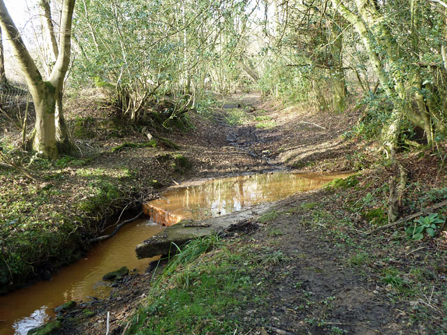
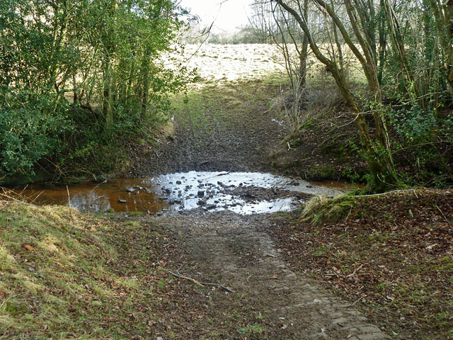
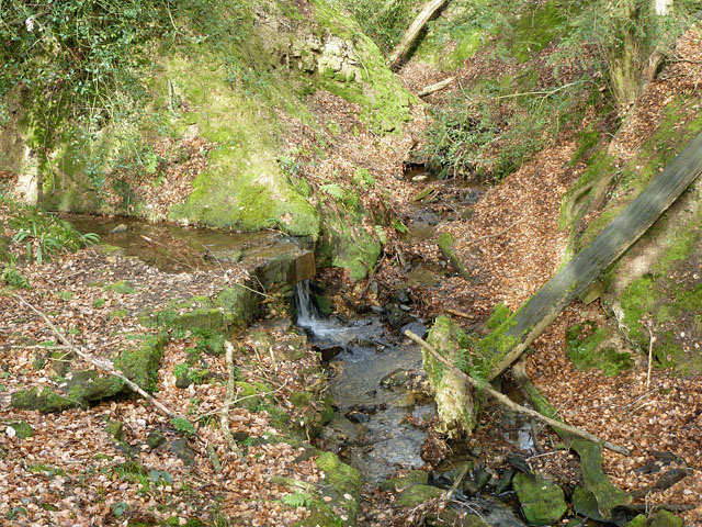
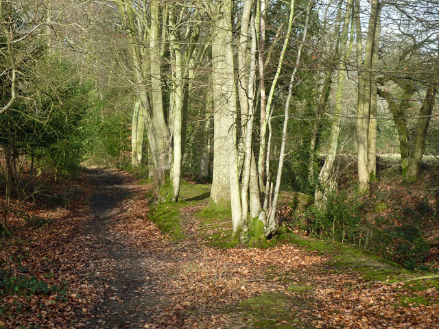
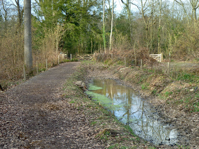
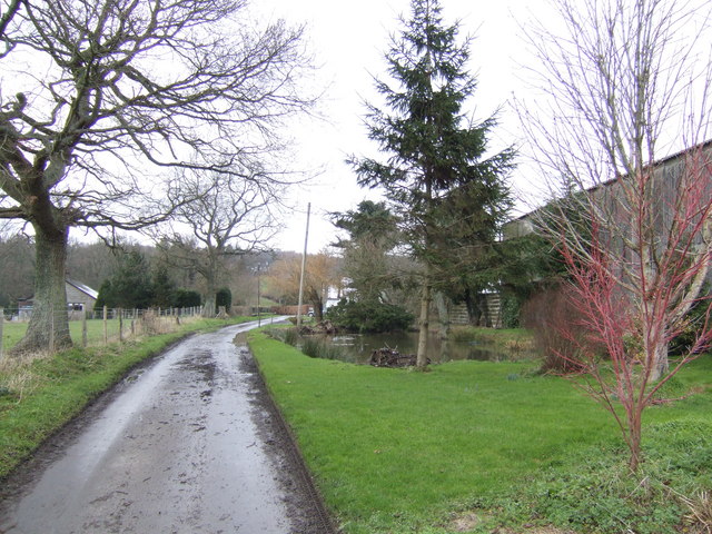
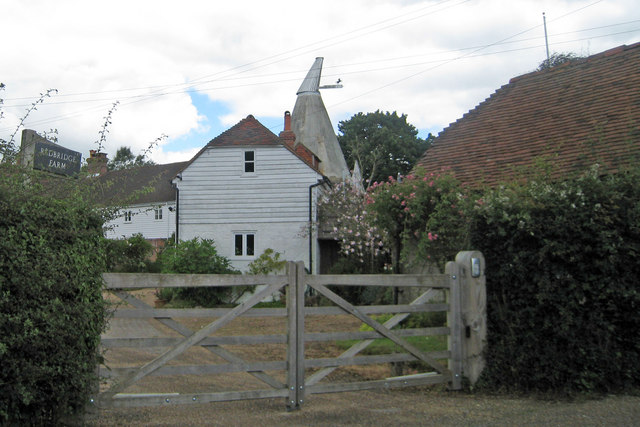
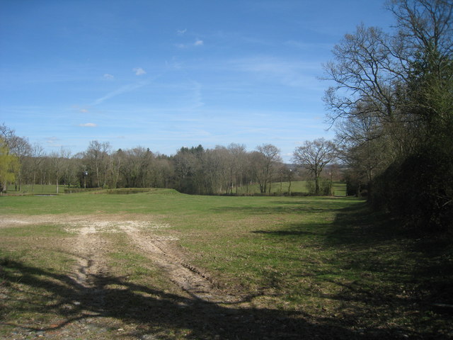
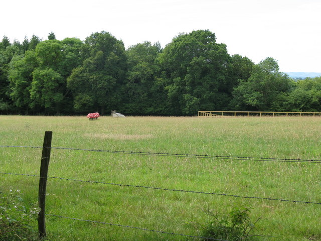
Broadfield Wood is a picturesque woodland located in Sussex, England. Covering an area of approximately 100 hectares, it is a significant natural treasure in the region. The wood is characterized by its diverse range of tree species, including oak, beech, birch, and hazel, which create a rich and vibrant habitat for various flora and fauna.

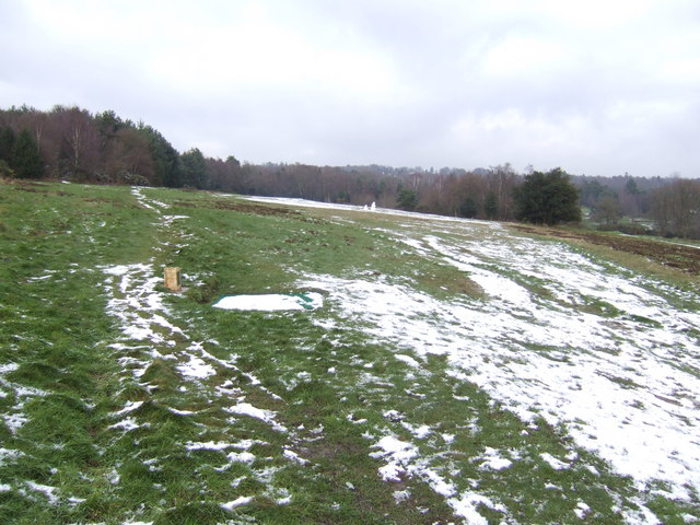
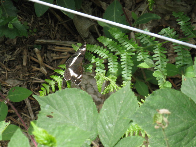
The woodland offers a tranquil and peaceful environment, attracting nature enthusiasts, hikers, and birdwatchers alike. It is home to a wide array of wildlife, including deer, foxes, squirrels, and a variety of bird species such as woodpeckers, owls, and thrushes. The abundance of these animals makes it an ideal spot for wildlife observation and photography.

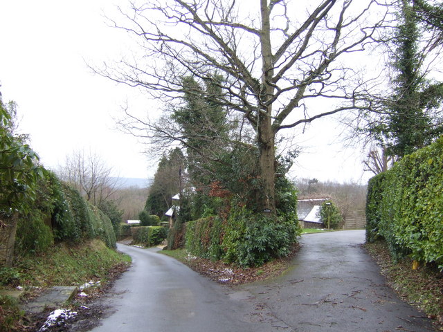
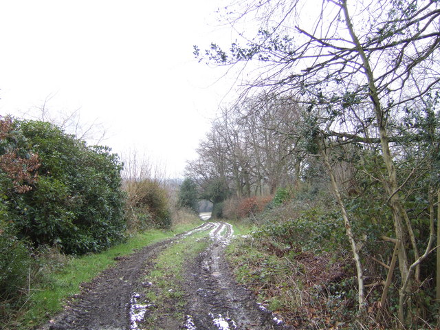
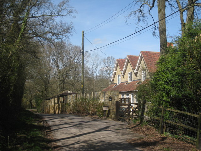
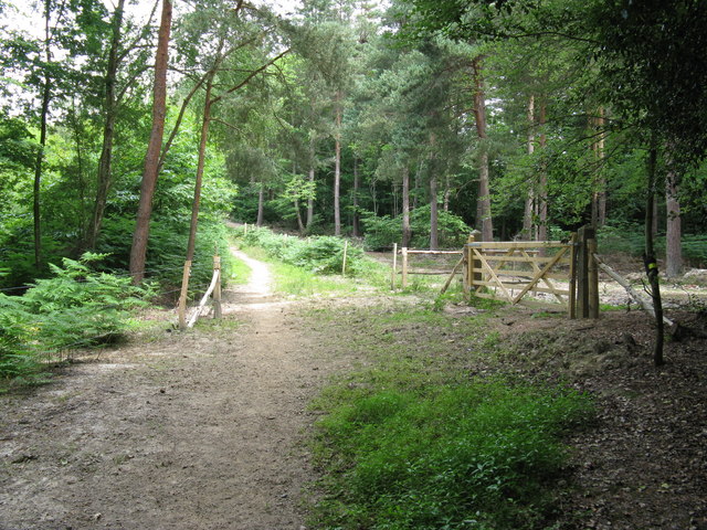
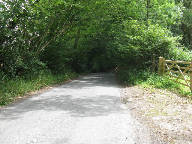
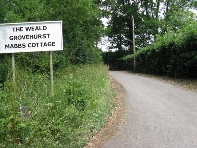
Broadfield Wood has well-maintained footpaths and trails that allow visitors to explore its natural beauty. The paths wind through the forest, offering breathtaking views of the surrounding landscape. In spring, the woodland comes alive with a vibrant display of bluebells, creating a carpet of color that attracts photographers and nature lovers from far and wide.

The wood has been carefully managed by local authorities to ensure its preservation and sustainability. Conservation efforts include tree planting initiatives and the maintenance of the ecosystem, ensuring that Broadfield Wood remains a haven for wildlife and a cherished natural asset for future generations.

Overall, Broadfield Wood is a serene and captivating woodland that offers a sanctuary for both nature enthusiasts and those seeking a peaceful retreat in the heart of Sussex. Its natural beauty, diverse flora and fauna, and well-maintained trails make it a must-visit destination for anyone looking to connect with nature.

If you have any feedback on the listing, please let us know in the comments section below.

Broadfield Wood Images

Images are sourced within 2km of 51.027824/0.12580008 or Grid Reference TQ4927. Thanks to Geograph Open Source API. All images are credited.

Ford on footpath Rotherfield 3b The otherwise excellent East Sussex interactive rights of way map marks this with a bridge. There was no sign of any bridge being here in the recent past. Fortunately the stream is narrow enough to jump on the left.
Ford on footpath Rotherfield 3b
The otherwise excellent East Sussex interactive rights of way map marks this with a bridge. There was no sign of any bridge being here in the recent past. Fortunately the stream is narrow enough to jump on the left.
Ford on footpath Rotherfield 51 The otherwise excellent East Sussex interactive rights of way map marks this with a bridge, so does the OS map. There was no sign here of there ever being a bridge. Perhaps it lurks in the undergrowth a little further up the stream?
Ford on footpath Rotherfield 51
The otherwise excellent East Sussex interactive rights of way map marks this with a bridge, so does the OS map. There was no sign here of there ever being a bridge. Perhaps it lurks in the undergrowth a little further up the stream?
Gill stream junction It is rather hard to get a sense of scale here, but the fallen tree on the right is of some size. The main gill stream comes down from the right and is joined by a side stream falling over a substantial seam of sandstone.
Gill stream junction
It is rather hard to get a sense of scale here, but the fallen tree on the right is of some size. The main gill stream comes down from the right and is joined by a side stream falling over a substantial seam of sandstone.
Bridleway Crowborough 27a Here it is following the west edge of a dwindling gill on the right, with the wood known as Sinnock's Rough on the left.
Bridleway Crowborough 27a
Here it is following the west edge of a dwindling gill on the right, with the wood known as Sinnock's Rough on the left.
Bridleway Buxted 36b A bridleway improved not so long ago, and consequently pleasant going. The wayside pond is a nice feature.
Bridleway Buxted 36b
A bridleway improved not so long ago, and consequently pleasant going. The wayside pond is a nice feature.
Sweethaws Lane A private drive forks off to the right.
Sweethaws Lane
A private drive forks off to the right.
Wealden footpath Heading south from Sweethaws towards Burnt Oak.
Wealden footpath
Heading south from Sweethaws towards Burnt Oak.
Crowborough Common The thawing january snow reveals a memorial to a favourite pet, and a brace of snowmen.
Crowborough Common
The thawing january snow reveals a memorial to a favourite pet, and a brace of snowmen.
Lane by Sweethaws Farm Nice bit of roadside planting to brighten up the view.
Lane by Sweethaws Farm
Nice bit of roadside planting to brighten up the view.
Oast House Single round kiln oast house. Brick and cement built kiln roof.
Oast House
Single round kiln oast house. Brick and cement built kiln roof.
The Hurst The track is also a bridleway off Burnt Oak Road.
The Hurst
The track is also a bridleway off Burnt Oak Road.
Field near The Hurst
Redbridge Oast, Redbridge Lane, Crowborough, East Sussex Single round kiln oast house. Brick and cement built kiln roof.
Redbridge Oast, Redbridge Lane, Crowborough, East Sussex
Single round kiln oast house. Brick and cement built kiln roof.
Giant fungi in open field The wood in the background is called The Rough.
Giant fungi in open field
The wood in the background is called The Rough.
Bridleway through woods Pickreed Wood is on the left and Grey Burchetts Wood to the right.
Bridleway through woods
Pickreed Wood is on the left and Grey Burchetts Wood to the right.
White Admiral at the edge of Pickreed Wood
View east on Burnt Oak Road towards Burnt Oak
Bridleway and drive to private houses
Show me another place!

Broadfield Wood is located at Grid Ref: TQ4927 (Lat: 51.027824, Lng: 0.12580008)

Administrative County: East Sussex

District: Wealden

Police Authority: Sussex

What 3 Words

///mural.provoking.easily. Near Buxted, East Sussex

Related Wikis

Temple Grove School

Temple Grove School was a preparatory school for boys, and after 1984 also for girls, originally at Parsons Green, London, later at East Sheen, London...

Richard Hill (RAF officer)

Lieutenant Richard Frank Hill (28 April 1899 – 17 September 1918) was a British World War I flying ace credited with seven aerial victories. == Biography... ==

St John the Evangelist Church, Heron's Ghyll

St John's Church or St John the Evangelist Church is a Roman Catholic Parish Church in the Heron's Ghyll settlement of Buxted, East Sussex, England. It...

Heron's Ghyll

Heron's Ghyll is a hamlet in the Wealden district of East Sussex. St John the Evangelist Church is a Catholic church in the village. There is a late 19th...

Poundgate

Poundgate is a hamlet in East Sussex on the A26 Uckfield Road at the junction with Chillies Road, just south of Crowborough. It has one pub, the Crow and...

High Hurstwood

High Hurstwood is a village in the Wealden district of East Sussex. == External links == High Hurstwood village history Holy Trinity Church, High Hurstwood...

Aspidistra (transmitter)

Aspidistra was a British medium wave radio transmitter used for black propaganda and military deception purposes against Nazi Germany during World War...

Brickfield Meadow

Brickfield Meadow is a 1.4-hectare (3.5-acre) nature reserve north of Maresfield in East Sussex. It is managed by the Sussex Wildlife Trust.This wildflower...

Nearby Amenities

Located within 500m of 51.027824,0.12580008
Power: pole
Lat/Long: 51.0306516/0.1207101
Power: pole
Lat/Long: 51.0304542/0.1219198
Power: pole
Lat/Long: 51.029879/0.1247683
Power: pole
Lat/Long: 51.029572/0.1263964
Power: pole
Lat/Long: 51.029518/0.1278368
Power: pole
Lat/Long: 51.0292481/0.1306504
Power: pole
Lat/Long: 51.0290355/0.1317742
The data included in this document is from www.openstreetmap.org. The data is made available under ODbL.

Have you been to Broadfield Wood?

Leave your review of Broadfield Wood below (or comments, questions and feedback).