Long Belt
Wood, Forest in Essex Uttlesford
England
Long Belt
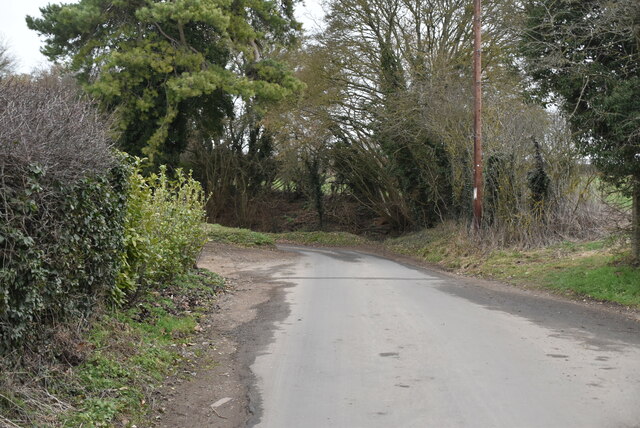
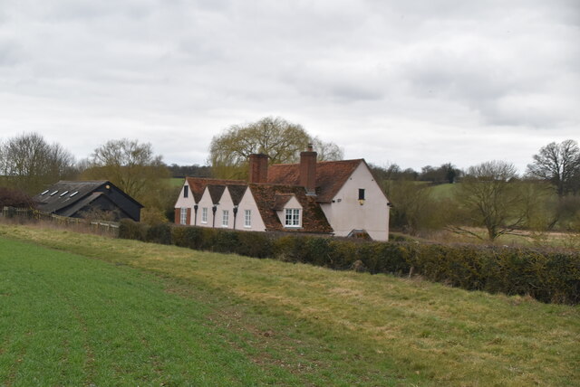
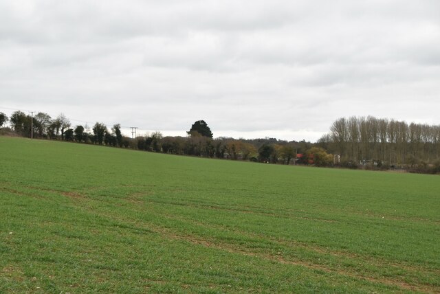
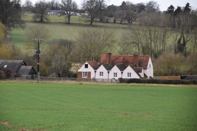
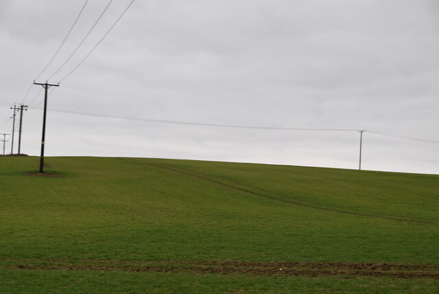
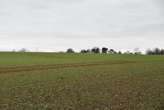
Long Belt is a small woodland area located in the county of Essex, England. Situated within the larger Epping Forest, Long Belt is known for its picturesque beauty and tranquil atmosphere. The woodland covers an area of approximately 50 hectares and is primarily composed of a diverse range of tree species, including oak, beech, birch, and hornbeam.
The woodland is characterized by its dense vegetation, creating a lush and green environment throughout the year. Long Belt is home to a variety of wildlife, including numerous bird species such as woodpeckers, owls, and thrushes, as well as small mammals like squirrels and foxes. The presence of these animals adds to the natural charm of the area, making it a popular destination for nature enthusiasts and birdwatchers.
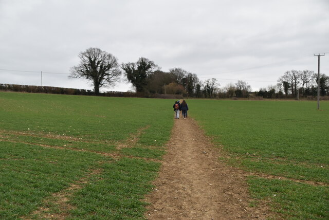
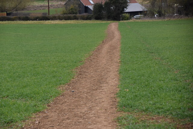
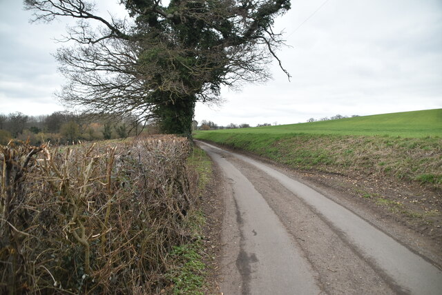
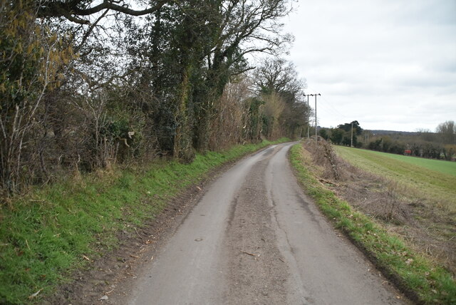
Long Belt offers visitors a range of recreational activities. There are well-maintained walking trails that meander through the woodland, allowing visitors to immerse themselves in the natural surroundings. The peaceful ambiance of the woodland makes it an ideal location for picnics, photography, and even meditation.
The management of Long Belt is overseen by the City of London Corporation, which is responsible for preserving and maintaining the beauty and ecological balance of the woodland. This ensures that Long Belt remains a haven for wildlife and a beloved spot for locals and tourists alike.
In conclusion, Long Belt in Essex is a charming woodland area that offers a tranquil escape from the bustling city life. With its diverse flora and fauna, well-maintained trails, and serene atmosphere, Long Belt is a must-visit destination for anyone seeking a connection with nature.
If you have any feedback on the listing, please let us know in the comments section below.
Long Belt Images
Images are sourced within 2km of 51.899619/0.16252319 or Grid Reference TL4824. Thanks to Geograph Open Source API. All images are credited.


Long Belt is located at Grid Ref: TL4824 (Lat: 51.899619, Lng: 0.16252319)
Administrative County: Essex
District: Uttlesford
Police Authority: Essex
What 3 Words
///clearly.exhaling.slightly. Near Stansted Mountfitchet, Essex
Nearby Locations
Related Wikis

Bentfield Bury
Bentfield Bury is a small village in Essex, England. It is one of over 100 villages in the district of Uttlesford and is within Stansted Mountfitchet parish...
Bentfield Green
Bentfield Green is an area of common land and settlement in the village of Stansted Mountfitchet, in the civil parish of Stansted Mountfitchet, in the...
Farnham, Essex
Farnham is a small village in Essex, England, situated near Bishop's Stortford. The main features are Farnham Church of England Primary School, the church...

Stansted Mountfitchet Windmill
Stansted Mountfitchet Windmill is a grade II* listed Tower mill at Stansted Mountfitchet, Essex, England which is also a Scheduled Ancient Monument. It...

Manuden
Manuden is a village and civil parish in the Uttlesford district of Essex, England. It is located around 3+1⁄2 miles (6 km) north of Bishop's Stortford...
Stansted F.C.
Stansted Football Club is an English football club based in Stansted Mountfitchet, Essex. The club are currently members of the Spartan South Midlands...

Stansted Mountfitchet
Stansted Mountfitchet is an English village and civil parish in Uttlesford district, Essex, near the Hertfordshire border, 35 miles (56 km) north of London...
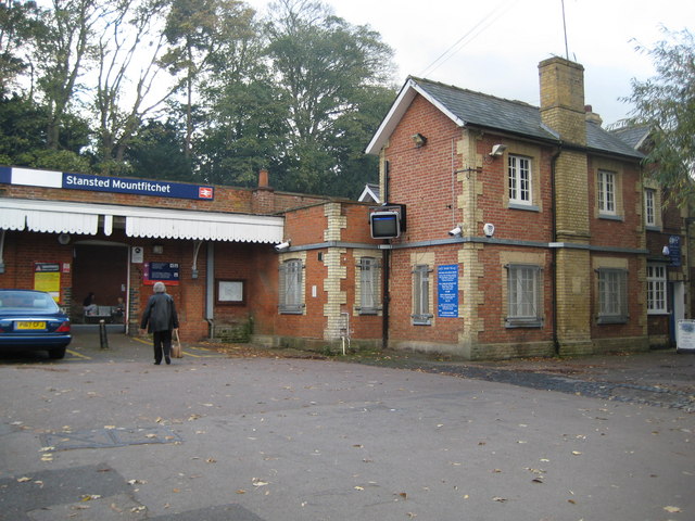
Stansted Mountfitchet railway station
Stansted Mountfitchet railway station is on the West Anglia Main Line serving the village of Stansted Mountfitchet in Essex, England. It is 33 miles 28...
Nearby Amenities
Located within 500m of 51.899619,0.16252319Have you been to Long Belt?
Leave your review of Long Belt below (or comments, questions and feedback).