Longdown Plantation

Wood, Forest in Essex Uttlesford

England

Longdown Plantation

Old Milestone by the B1383, Stansted Road, Birchanger Carved stone post by the B1383 (was A11), in parish of Birchanger (Uttlesford District), 20m North of bus shelter, by the road, on East side of road. Erected by the Hockerill turnpike trust in the 19th century. An earlier photograph can be found here <a title="https://www.geograph.org.uk/photo/6096356" href="https://www.geograph.org.uk/photo/6096356">Link</a>.

Inscription reads:-
LONDON
30
CAMBRIDGE
24
NEWMARKET
29

Essex HER.
SMR Number: 15780 <span class="nowrap"><a title="https://www.heritagegateway.org.uk/Gateway/Results_Single.aspx?uid=MEX1032862&resourceID=1001" rel="nofollow ugc noopener" href="https://www.heritagegateway.org.uk/Gateway/Results_Single.aspx?uid=MEX1032862&resourceID=1001">Link</a><img style="margin-left:2px;" alt="External link" title="External link - shift click to open in new window" src="https://s1.geograph.org.uk/img/external.png" width="10" height="10"/></span>

Milestone Society National ID: EX_BSGC30
Old Milestone by the B1383, Stansted Road, Birchanger Credit: John V Nicholls

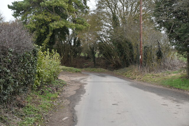
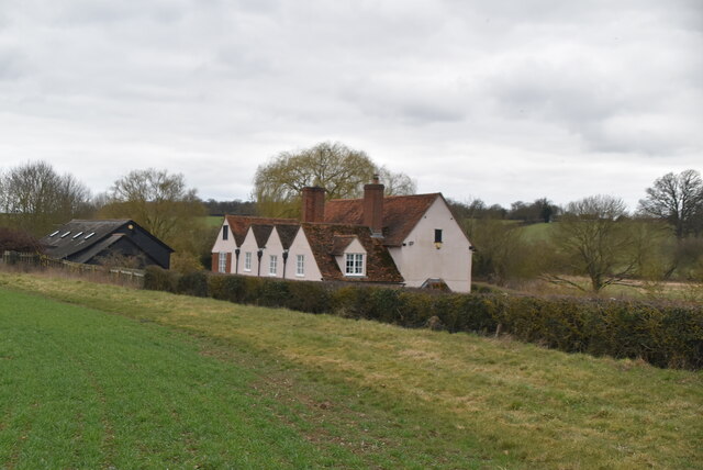
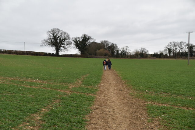
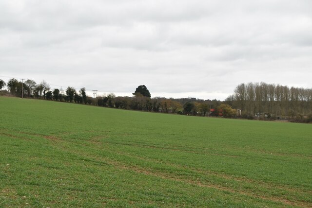
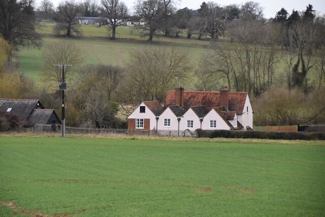
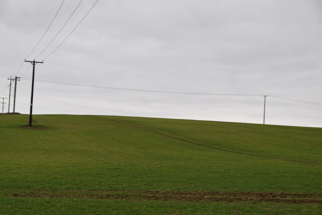
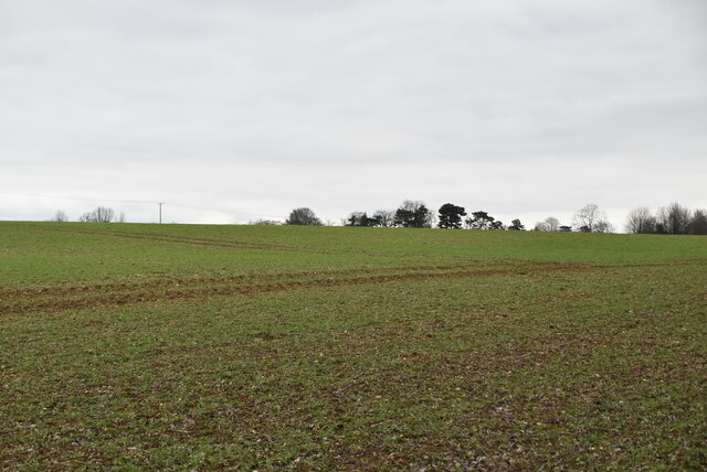
Longdown Plantation, located in Essex, England, is a beautiful woodland area known for its rich biodiversity and stunning natural landscapes. Covering an extensive area, the plantation is a haven for plant and animal species, making it a popular destination for nature enthusiasts and outdoor adventurers.

The woodland of Longdown Plantation is predominantly composed of deciduous trees, such as oak, beech, and birch, which provide a vibrant and ever-changing display throughout the seasons. The forest floor is adorned with an array of wildflowers, creating a colorful carpet of blooms during the spring and summer months.

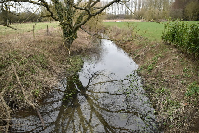
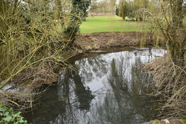
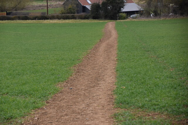
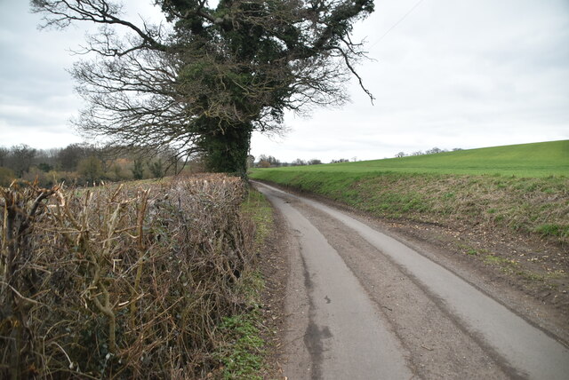
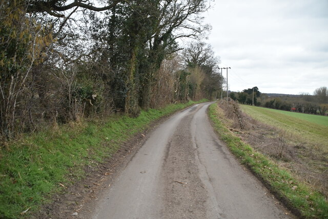
The plantation is crisscrossed by a network of well-maintained footpaths, allowing visitors to explore the area at their own pace. These pathways lead to various points of interest, including tranquil ponds, babbling brooks, and hidden clearings, providing ample opportunities for picnicking, wildlife spotting, or simply soaking in the peaceful surroundings.

The diverse ecosystem of Longdown Plantation supports a wide range of wildlife. Visitors may be fortunate enough to catch glimpses of deer, foxes, badgers, and a multitude of bird species, including woodpeckers, owls, and songbirds. The plantation is particularly renowned for its population of rare and protected species, such as the silver-spotted skipper butterfly and the great crested newt.

Longdown Plantation also offers educational programs and guided tours, allowing visitors to learn about the importance of conservation and the plantation's role in preserving and protecting the local environment. With its breathtaking scenery and abundant wildlife, Longdown Plantation is a true gem for nature lovers, promising a memorable and immersive experience amidst the tranquility of the Essex countryside.

If you have any feedback on the listing, please let us know in the comments section below.

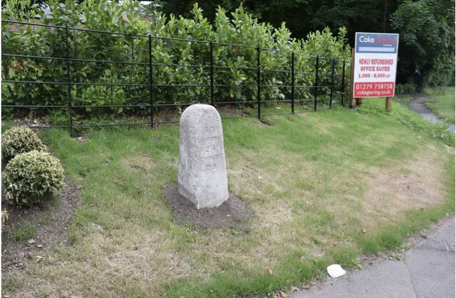
Longdown Plantation Images

Images are sourced within 2km of 51.898052/0.1596862 or Grid Reference TL4824. Thanks to Geograph Open Source API. All images are credited.

Old Milestone by the B1383, Stansted Road, Birchanger Carved stone post by the B1383 (was A11), in parish of Birchanger (Uttlesford District), 20m North of bus shelter, by the road, on East side of road. Erected by the Hockerill turnpike trust in the 19th century. An earlier photograph can be found here <a title="https://www.geograph.org.uk/photo/6096356" href="https://www.geograph.org.uk/photo/6096356">Link</a>.

Inscription reads:-
LONDON
30
CAMBRIDGE
24
NEWMARKET
29

Essex HER.
SMR Number: 15780 <span class="nowrap"><a title="https://www.heritagegateway.org.uk/Gateway/Results_Single.aspx?uid=MEX1032862&resourceID=1001" rel="nofollow ugc noopener" href="https://www.heritagegateway.org.uk/Gateway/Results_Single.aspx?uid=MEX1032862&resourceID=1001">Link</a><img style="margin-left:2px;" alt="External link" title="External link - shift click to open in new window" src="https://s1.geograph.org.uk/img/external.png" width="10" height="10"/></span>

Milestone Society National ID: EX_BSGC30
Old Milestone by the B1383, Stansted Road, Birchanger
Carved stone post by the B1383 (was A11), in parish of Birchanger (Uttlesford District), 20m North of bus shelter, by the road, on East side of road. Erected by the Hockerill turnpike trust in the 19th century. An earlier photograph can be found here Link. Inscription reads:- LONDON 30 CAMBRIDGE 24 NEWMARKET 29 Essex HER. SMR Number: 15780 LinkExternal link Milestone Society National ID: EX_BSGC30
River Stort River Stort takes its name from Bishop's Stortford, a town through which it flows. It was given the name in the 16th century.
Its source is in Langley Hills, near Clavering, in Essex. After flowing through Bishop's Stortford, the river continues as the Stort Navigation for another 13.25 miles through Hertfordshire past Harlow to Feildes Weir near Hoddesdon, where it joins the River Lea.
River Stort
River Stort takes its name from Bishop's Stortford, a town through which it flows. It was given the name in the 16th century. Its source is in Langley Hills, near Clavering, in Essex. After flowing through Bishop's Stortford, the river continues as the Stort Navigation for another 13.25 miles through Hertfordshire past Harlow to Feildes Weir near Hoddesdon, where it joins the River Lea.
River Stort
River Stort
Bentfield
Bentfield
Watermill Lane
Watermill Lane
Bentfield Mill House Grade II listed.
Bentfield Mill House
Grade II listed.
Footpath across field
Arable land
Arable land
Bentfield Mill House Grade II listed.
Bentfield Mill House
Grade II listed.
Footpath across field
Limekiln Lane
Limekiln Lane
Limekiln Lane
Limekiln Lane
Arable land
Arable land
Arable land
Arable land
Barn, Broome Cottage Grade II listed.
Barn, Broome Cottage
Grade II listed.
Arable land
Arable land
Barn, Broome Cottage Listed buildings and structures are officially designated as being of special architectural, historical or cultural significance. There are over half a million listed structures in the United Kingdom, covered by around 375,000 listings.
Listed status is more commonly associated with buildings or groups of buildings, however it can cover many other structures, including bridges, headstones, steps, ponds, monuments, walls, phone boxes, wrecks, parks, and heritage sites, and in more recent times a road crossing (Abbey Road) and graffiti art (Banksy 'Spy-booth') have been included.

In England and Wales there are three main listing designations;
Grade I (2.5%) - exceptional interest, sometimes considered to be internationally important.
Grade II* (5.5%) - particularly important buildings of more than special interest. 
Grade II (92%) - nationally important and of special interest. 

There are also locally listed structures (at the discretion of local authorities) using A, B and C designations.

In Scotland three classifications are also used but the criteria are different. There are around 47,500 Listed buildings.
Category A (8%)- generally equivalent to Grade I and II* in England and Wales
Category B (51%)- this appears generally to cover the ground of Grade II, recognising national importance.
Category C (41%)- buildings of local importance, probably with some overlap with English Grade II.

In Northern Ireland the criteria are similar to Scotland, but the classifications are:
Grade A (2.3%)
Grade B+ (4.7%)
Grade B (93%)

Read more at Wikipedia <span class="nowrap"><a title="http://en.wikipedia.org/wiki/Listed_building" rel="nofollow ugc noopener" href="http://en.wikipedia.org/wiki/Listed_building">Link</a><img style="margin-left:2px;" alt="External link" title="External link - shift click to open in new window" src="https://s1.geograph.org.uk/img/external.png" width="10" height="10"/></span>
Barn, Broome Cottage
Listed buildings and structures are officially designated as being of special architectural, historical or cultural significance. There are over half a million listed structures in the United Kingdom, covered by around 375,000 listings. Listed status is more commonly associated with buildings or groups of buildings, however it can cover many other structures, including bridges, headstones, steps, ponds, monuments, walls, phone boxes, wrecks, parks, and heritage sites, and in more recent times a road crossing (Abbey Road) and graffiti art (Banksy 'Spy-booth') have been included. In England and Wales there are three main listing designations; Grade I (2.5%) - exceptional interest, sometimes considered to be internationally important. Grade II* (5.5%) - particularly important buildings of more than special interest. Grade II (92%) - nationally important and of special interest. There are also locally listed structures (at the discretion of local authorities) using A, B and C designations. In Scotland three classifications are also used but the criteria are different. There are around 47,500 Listed buildings. Category A (8%)- generally equivalent to Grade I and II* in England and Wales Category B (51%)- this appears generally to cover the ground of Grade II, recognising national importance. Category C (41%)- buildings of local importance, probably with some overlap with English Grade II. In Northern Ireland the criteria are similar to Scotland, but the classifications are: Grade A (2.3%) Grade B+ (4.7%) Grade B (93%) Read more at Wikipedia LinkExternal link
Farmhouse
Farmhouse
Show me another place!

Longdown Plantation is located at Grid Ref: TL4824 (Lat: 51.898052, Lng: 0.1596862)

Administrative County: Essex

District: Uttlesford

Police Authority: Essex

What 3 Words

///slouched.motorist.revival. Near Stansted Mountfitchet, Essex

Related Wikis

Bentfield Bury

Bentfield Bury is a small village in Essex, England. It is one of over 100 villages in the district of Uttlesford and is within Stansted Mountfitchet parish...

Bentfield Green

Bentfield Green is an area of common land and settlement in the village of Stansted Mountfitchet, in the civil parish of Stansted Mountfitchet, in the...

Farnham, Essex

Farnham is a small village in Essex, England, situated near Bishop's Stortford. The main features are Farnham Church of England Primary School, the church...

Cricket Field Lane

Cricketfield Lane is a cricket ground in Bishop's Stortford, Hertfordshire. The earliest recorded match on the ground was in 1862 between Bishop's Stortford...

Manuden

Manuden is a village and civil parish in the Uttlesford district of Essex, England. It is located around 3+1⁄2 miles (6 km) north of Bishop's Stortford...

Stansted Mountfitchet Windmill

Stansted Mountfitchet Windmill is a grade II* listed Tower mill at Stansted Mountfitchet, Essex, England which is also a Scheduled Ancient Monument. It...

Stansted F.C.

Stansted Football Club is an English football club based in Stansted Mountfitchet, Essex. The club are currently members of the Spartan South Midlands...

Stansted Mountfitchet

Stansted Mountfitchet is an English village and civil parish in Uttlesford district, Essex, near the Hertfordshire border, 35 miles (56 km) north of London...

Nearby Amenities

Located within 500m of 51.898052,0.1596862
Depth Gauge: yes
Lat/Long: 51.8984548/0.1574769
Traffic Mirror
Direction: 175
Lat/Long: 51.8992235/0.1579883
Barrier: swing_gate
Lat/Long: 51.8992242/0.1597617
Traffic Mirror
Direction: -25
Lat/Long: 51.8982615/0.157308
Traffic Mirror
Direction: -160
Lat/Long: 51.8980503/0.1660973
The data included in this document is from www.openstreetmap.org. The data is made available under ODbL.

Have you been to Longdown Plantation?

Leave your review of Longdown Plantation below (or comments, questions and feedback).