Quarry Wood
Wood, Forest in Sussex Wealden
England
Quarry Wood
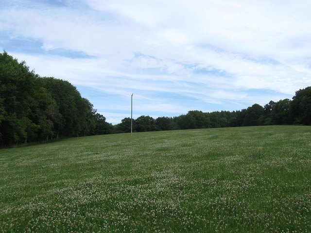
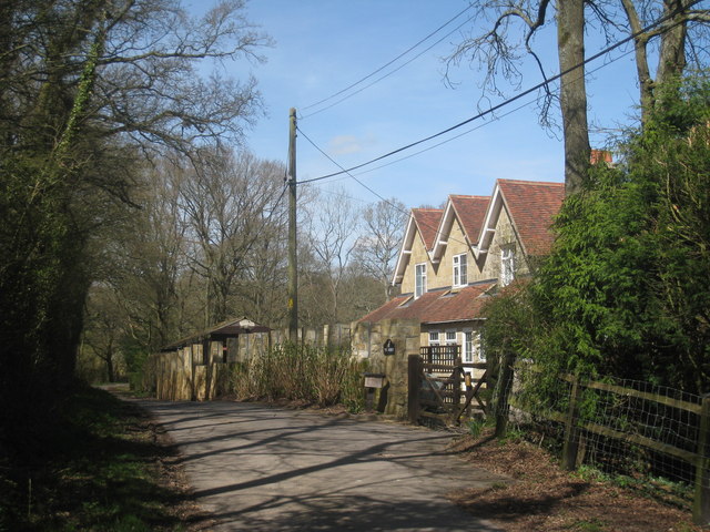
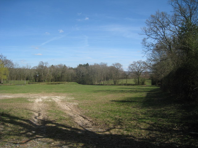
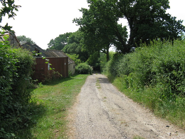
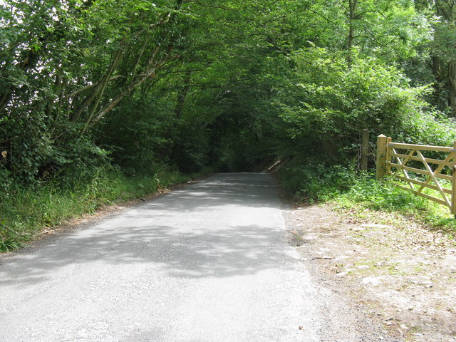
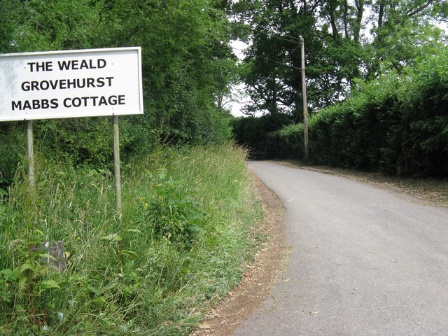
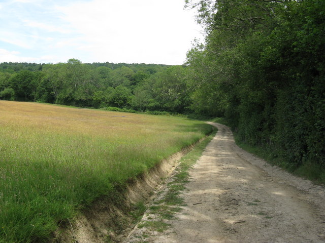
Quarry Wood is a picturesque forest located in Sussex, England. Covering an area of approximately 200 acres, it is a haven for nature enthusiasts and outdoor enthusiasts alike. The wood is situated near the village of Worth and is easily accessible to visitors.
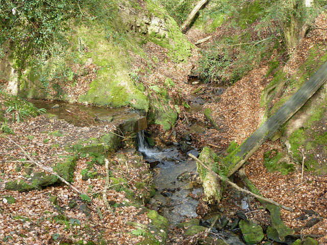
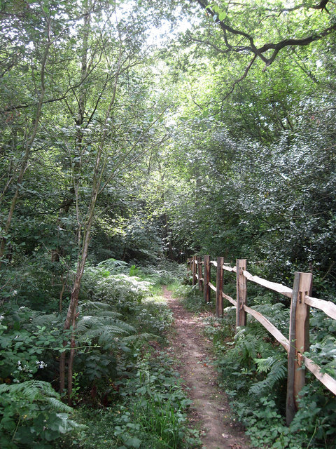
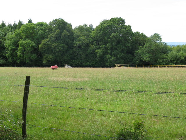
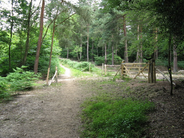
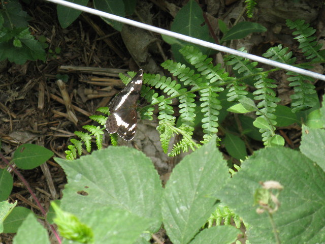
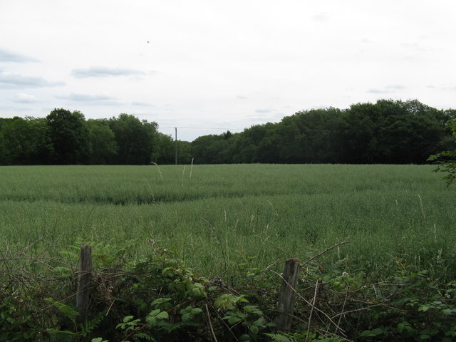
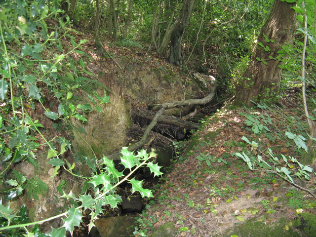
Quarry Wood boasts a diverse range of flora and fauna, making it a popular destination for those interested in wildlife and botany. The wood is home to a variety of tree species, including oak, beech, and ash, which create a beautiful and serene atmosphere. The forest floor is covered in a lush carpet of mosses, ferns, and wildflowers, adding to its natural charm.
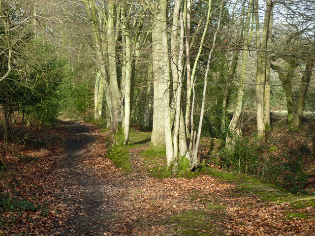
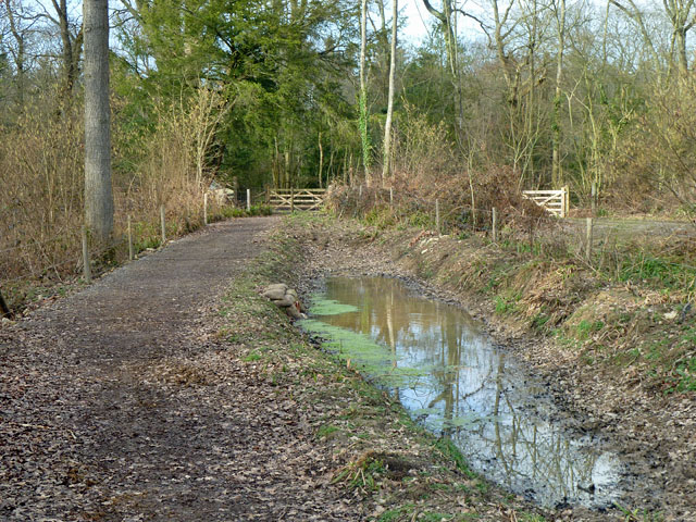
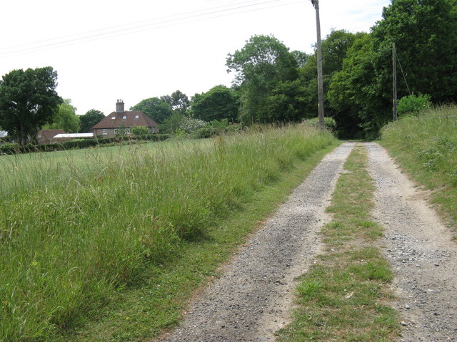
The wood is crisscrossed with a network of well-maintained footpaths, allowing visitors to explore its beauty at their own pace. There are also several designated picnic areas, making it an ideal spot for a day out with family or friends. Additionally, the wood features a small lake, providing a tranquil setting for fishing or simply enjoying the scenery.
Quarry Wood is not only a haven for plant and animal life but also has a rich history. It was once part of a larger estate and was used for timber production in the past. Today, the wood is managed by the local authorities, who ensure its preservation and protection for future generations to enjoy.
Overall, Quarry Wood offers a peaceful retreat from the hustle and bustle of everyday life. Its natural beauty, diverse wildlife, and accessibility make it a must-visit destination for nature lovers and those seeking a tranquil escape in the heart of Sussex.
If you have any feedback on the listing, please let us know in the comments section below.
Quarry Wood Images
Images are sourced within 2km of 51.022756/0.1195934 or Grid Reference TQ4826. Thanks to Geograph Open Source API. All images are credited.
Quarry Wood is located at Grid Ref: TQ4826 (Lat: 51.022756, Lng: 0.1195934)
Administrative County: East Sussex
District: Wealden
Police Authority: Sussex
What 3 Words
///embellish.panicking.adverbs. Near Buxted, East Sussex
Nearby Locations
Related Wikis

Temple Grove School
Temple Grove School was a preparatory school for boys, and after 1984 also for girls, originally at Parsons Green, London, later at East Sheen, London...

St John the Evangelist Church, Heron's Ghyll
St John's Church or St John the Evangelist Church is a Roman Catholic Parish Church in the Heron's Ghyll settlement of Buxted, East Sussex, England. It...

Heron's Ghyll
Heron's Ghyll is a hamlet in the Wealden district of East Sussex. St John the Evangelist Church is a Catholic church in the village. There is a late 19th...
Richard Hill (RAF officer)
Lieutenant Richard Frank Hill (28 April 1899 – 17 September 1918) was a British World War I flying ace credited with seven aerial victories. == Biography... ==
High Hurstwood
High Hurstwood is a village in the Wealden district of East Sussex. == External links == High Hurstwood village history Holy Trinity Church, High Hurstwood...

Brickfield Meadow
Brickfield Meadow is a 1.4-hectare (3.5-acre) nature reserve north of Maresfield in East Sussex. It is managed by the Sussex Wildlife Trust.This wildflower...

Fairwarp
Fairwarp is a small village within the civil parish of Maresfield in the Wealden district of East Sussex, England. Its nearest town is Uckfield, which...

Poundgate
Poundgate is a hamlet in East Sussex on the A26 Uckfield Road at the junction with Chillies Road, just south of Crowborough. It has one pub, the Crow and...
Nearby Amenities
Located within 500m of 51.022756,0.1195934Have you been to Quarry Wood?
Leave your review of Quarry Wood below (or comments, questions and feedback).