Home Wood

Wood, Forest in Kent Sevenoaks

England

Home Wood

Mond Court this interesting building at Sundridge is dated 1913 and located just South of the A25 on the Ide Hill road.
Mond Court Credit: Chris Shaw

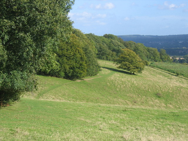
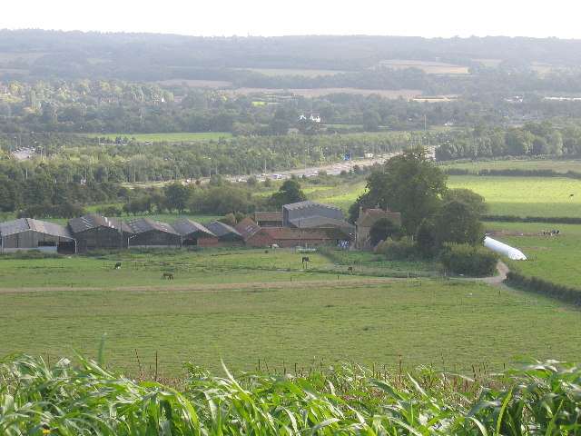
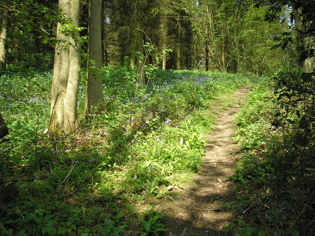
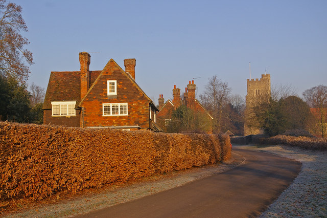
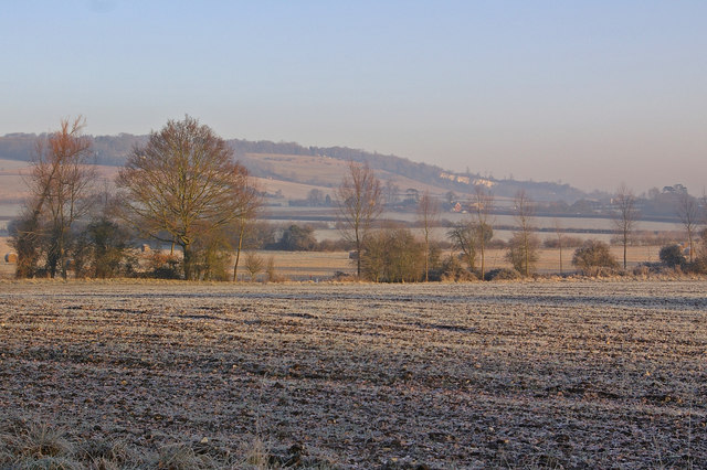
Home Wood is a picturesque forest located in the county of Kent, England. It covers an area of approximately 100 acres and is a popular destination for nature lovers and outdoor enthusiasts. The wood is situated in a rural area, surrounded by rolling hills and farmland, providing a tranquil and serene atmosphere.

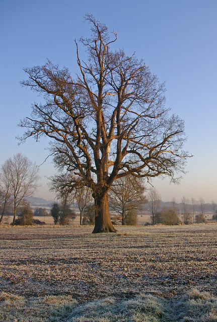
Home Wood is primarily composed of broadleaf trees, including oak, beech, and ash, which create a dense canopy overhead, providing ample shade during the summer months. The forest floor is covered in a thick carpet of ferns, wildflowers, and mosses, creating a vibrant and diverse ecosystem.

The wood is home to a variety of wildlife species, including deer, squirrels, and various bird species such as woodpeckers and owls. It is an ideal location for birdwatching and wildlife photography.

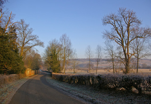
There are several well-maintained walking trails that wind through the forest, allowing visitors to explore the wood at their own pace. These trails provide breathtaking views of the surrounding countryside and are suitable for all levels of fitness.

Home Wood is also popular with families, as it offers a range of recreational activities. There are picnic areas and designated spots for barbecues, making it a great place for a day out with loved ones. Additionally, the wood has a children's play area and a small café where visitors can grab a bite to eat or enjoy a hot beverage.

Overall, Home Wood is a beautiful and serene forest in Kent, offering visitors a chance to immerse themselves in nature and enjoy a peaceful escape from the hustle and bustle of everyday life.

If you have any feedback on the listing, please let us know in the comments section below.
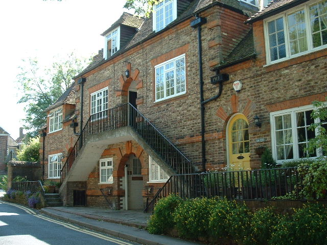
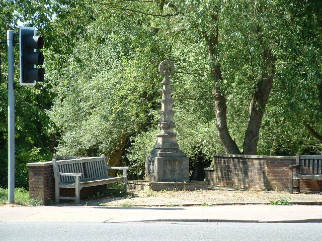
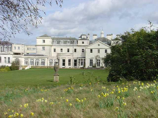
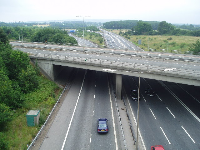
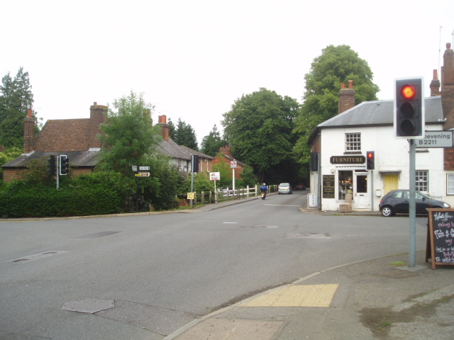
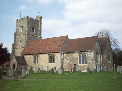
Home Wood Images

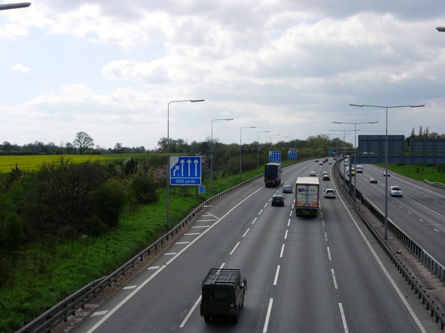
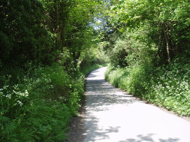
Images are sourced within 2km of 51.294039/0.13197854 or Grid Reference TQ4857. Thanks to Geograph Open Source API. All images are credited.

Mond Court this interesting building at Sundridge is dated 1913 and located just South of the A25 on the Ide Hill road.
Mond Court
this interesting building at Sundridge is dated 1913 and located just South of the A25 on the Ide Hill road.
Sundridge Memorial At crossroads on A25.
Sundridge Memorial
At crossroads on A25.
Combe Bank School, Sundridge Combe Bank is a fine Palladian house built in 1720. The buildings are now used as an independent girls school. Details of the school and estate can be found at: <span class="nowrap"><a title="http://www.combebank.kent.sch.uk" rel="nofollow ugc noopener" href="http://www.combebank.kent.sch.uk">Link</a><img style="margin-left:2px;" alt="External link" title="External link - shift click to open in new window" src="https://s1.geograph.org.uk/img/external.png" width="10" height="10"/></span>
Combe Bank School, Sundridge
Combe Bank is a fine Palladian house built in 1720. The buildings are now used as an independent girls school. Details of the school and estate can be found at: LinkExternal link
M25 & M26 near Chevening & Chipstead This is where the M25 London Orbital Road turns to the north (left in the picture) and the M26 continues to the east.
M25 & M26 near Chevening & Chipstead
This is where the M25 London Orbital Road turns to the north (left in the picture) and the M26 continues to the east.
Cross roads on the A25 at Sundridge A familiar view for those driving along the A25 towards Sevenoaks
Cross roads on the A25 at Sundridge
A familiar view for those driving along the A25 towards Sevenoaks
The North Downs Way - a grassy stretch It's stretches like this that make the North Downs Way a pleasure.
The North Downs Way - a grassy stretch
It's stretches like this that make the North Downs Way a pleasure.
Turvins Farm and the M25
St. Botolphs Church Where my grandparents were married.
St. Botolphs Church
Where my grandparents were married.
M25 Motorway A photograph of the M25 near Sevenoaks taken early afternoon before the rush hour.
M25 Motorway
A photograph of the M25 near Sevenoaks taken early afternoon before the rush hour.
M25 Motorway - West Early afternoon traffic near Sevenoaks on the M25 going west.
M25 Motorway - West
Early afternoon traffic near Sevenoaks on the M25 going west.
Bluebells on the North Downs Way The North Downs Way is a very popular long-distance path, paralleling for long stretches the ancient Pilgrim's Way to Canterbury.  In mid-May it is seen at its best as it crosses the north-east corner of this gridsquare.
Bluebells on the North Downs Way
The North Downs Way is a very popular long-distance path, paralleling for long stretches the ancient Pilgrim's Way to Canterbury. In mid-May it is seen at its best as it crosses the north-east corner of this gridsquare.
Sundridge Hill, Kent We are on the scarp slope of the North Downs here, and many of the lanes crossing it are both narrow and steep.  This one rates a "more than 14%" symbol on the OS map.  If you are motoring in this area, please use extra care.
Sundridge Hill, Kent
We are on the scarp slope of the North Downs here, and many of the lanes crossing it are both narrow and steep. This one rates a "more than 14%" symbol on the OS map. If you are motoring in this area, please use extra care.
M25 from Brasted Hill Road A motorway does not make the most beautiful of pictures, but here cars, vans, HGVs and a stretch limo. all add interest - and CO2
M25 from Brasted Hill Road
A motorway does not make the most beautiful of pictures, but here cars, vans, HGVs and a stretch limo. all add interest - and CO2
Morants Court Farm - near Chevening, Sevenoaks The North Downs Way runs steeply northwest up through this farm.
Morants Court Farm - near Chevening, Sevenoaks
The North Downs Way runs steeply northwest up through this farm.
Chevening This small village is set along the eastern boundary of the grounds of Chevening House, the official country residence of the Foreign Secretary.

For a similar photo in late spring, see <a href="https://www.geograph.org.uk/photo/1888129">TQ4857 : Chevening</a>.
Chevening
This small village is set along the eastern boundary of the grounds of Chevening House, the official country residence of the Foreign Secretary. For a similar photo in late spring, see TQ4857 : Chevening.
Bare tree in winter View from Chevening Lane, with the North Downs in the distance.
Bare tree in winter
View from Chevening Lane, with the North Downs in the distance.
Chevening Lane This is the lane leading into Chevening village.  The wall on the left is that of the grounds of Chevening House, the official country residence of the Foreign Secretary.  In the background are the North Downs.
Chevening Lane
This is the lane leading into Chevening village. The wall on the left is that of the grounds of Chevening House, the official country residence of the Foreign Secretary. In the background are the North Downs.
Winter fields by Chevening Lane Frosted fields - in the middle distance is Turvin's Farm, at the other edge of this square, with a disused quarry on the North Downs in the far distance.
Winter fields by Chevening Lane
Frosted fields - in the middle distance is Turvin's Farm, at the other edge of this square, with a disused quarry on the North Downs in the far distance.
Show me another place!

Home Wood is located at Grid Ref: TQ4857 (Lat: 51.294039, Lng: 0.13197854)

Administrative County: Kent

District: Sevenoaks

Police Authority: Kent

What 3 Words

///poem.jolly.pens. Near Sundridge, Kent

Related Wikis

Chatham Vase

The Chatham Vase is a stone sculpture by John Bacon commissioned as a memorial to William Pitt the Elder by his wife, Hester, Countess of Chatham. It was...
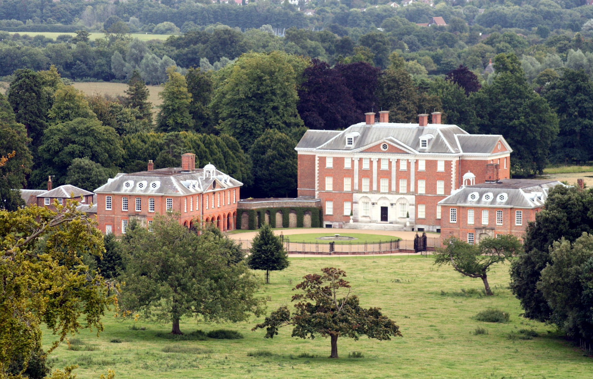
Chevening

Chevening House () is a large country house in the parish of Chevening in Kent, England. Built between 1617 and 1630 to a design reputedly by Inigo Jones...

Chevening, Kent

Chevening () is a village and civil parish in the Sevenoaks District of Kent, England. It was the location for the world's earliest known organised cricket...

Chevening Halt railway station

Chevening Halt is a now-closed intermediate railway station on the Westerham branch line in Kent. The line was built as single track with provision for...

Chipstead, Kent

Chipstead is a small village within the parish of Chevening in the Sevenoaks District of Kent, England. It lies just west of the town of Sevenoaks and...

Radnor House Sevenoaks School

Radnor House Sevenoaks School (formerly Combe Bank School) is a coeducational private day school located in Sundridge (near Sevenoaks) in the English county...

Brasted railway station

Brasted is a disused intermediate railway station in Brasted, Kent on the closed Westerham Valley branch line. The station closed in 1961 and the site...

R. Durtnell & Sons

R. Durtnell & Sons was an English building company established in 1591 that had been continuously in the same family in Brasted, in the English county...

Nearby Amenities

Located within 500m of 51.294039,0.13197854
Communication: pole
Lat/Long: 51.2901387/0.131066
Communication: pole
Lat/Long: 51.2900886/0.12939
Colour: white
Inscription: ESSO
Marker: post
Material: concrete
Utility: oil
Lat/Long: 51.2942487/0.1370946
Colour: white
Inscription: ESSO
Marker: post
Material: concrete
Utility: oil
Lat/Long: 51.2942962/0.1371826
Colour: white
Description: tall post with a pitched hat carrying a medial black stripe
Marker: aerial
Utility: oil
Lat/Long: 51.2942447/0.1370834
The data included in this document is from www.openstreetmap.org. The data is made available under ODbL.

Have you been to Home Wood?

Leave your review of Home Wood below (or comments, questions and feedback).