Long Shaw
Wood, Forest in Sussex Wealden
England
Long Shaw

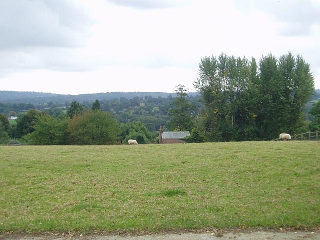
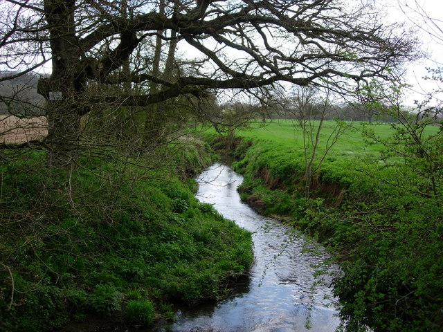
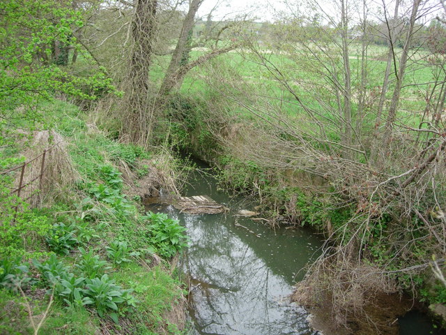
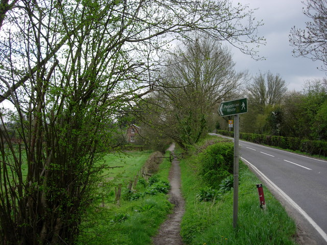
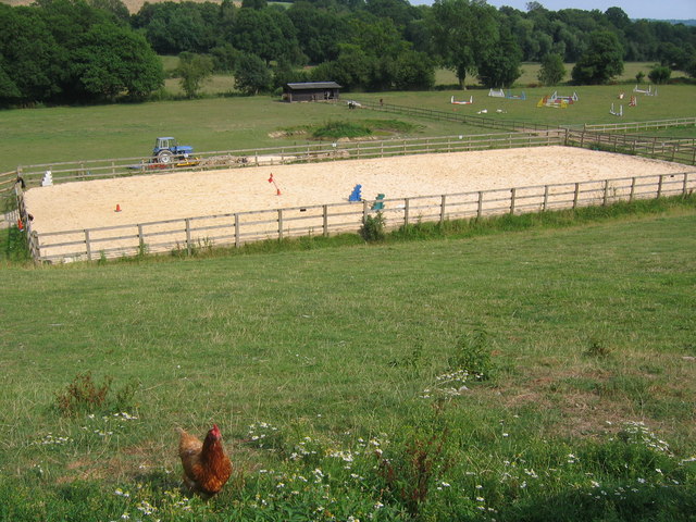
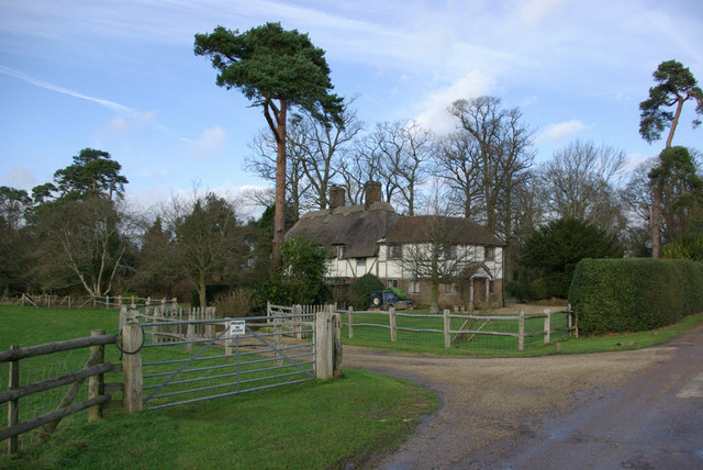
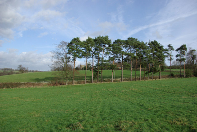
Long Shaw is a picturesque woodland area located in Sussex, England. Spanning over several acres, it is known for its dense forest and natural beauty. The woodland is nestled in a rural setting, offering a peaceful and tranquil environment for visitors to enjoy.
The area is characterized by its tall and ancient trees, which create a dense canopy overhead, providing shade and shelter for a variety of flora and fauna. Long Shaw is home to a diverse range of plant species, including oak, beech, and birch trees, as well as various wildflowers, ferns, and mosses that flourish on the forest floor.
The woodland is also an important habitat for wildlife, attracting numerous species of birds, mammals, and insects. Visitors to Long Shaw may spot deer, foxes, badgers, and rabbits, among other animals, as they explore the area. Birdwatchers will be delighted by the diverse avian population, including woodpeckers, owls, and various songbirds.
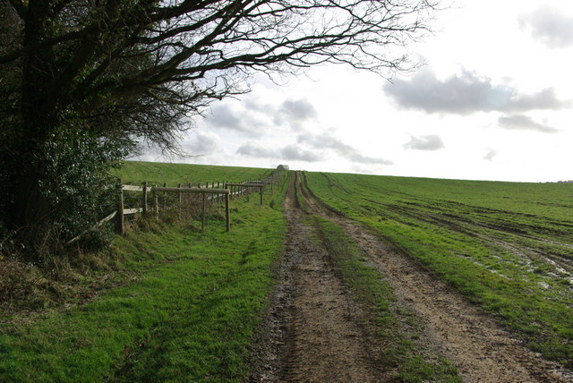
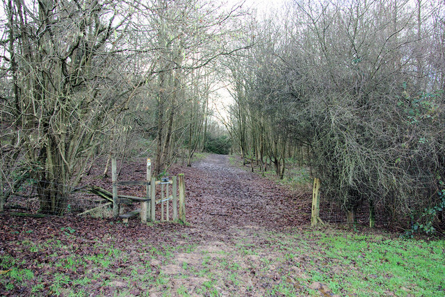
For those who enjoy outdoor activities, Long Shaw offers several walking trails, allowing visitors to immerse themselves in the natural surroundings. The trails wind through the forest, offering glimpses of the enchanting scenery at every turn. Additionally, there are designated picnic areas where visitors can relax and enjoy a meal amidst the tranquility of nature.
Long Shaw is a true haven for nature lovers and provides an opportunity to escape the hustle and bustle of daily life. Its serene atmosphere, combined with its rich biodiversity, makes it a cherished destination for locals and tourists alike.
If you have any feedback on the listing, please let us know in the comments section below.
Long Shaw Images
Images are sourced within 2km of 51.111082/0.12250384 or Grid Reference TQ4836. Thanks to Geograph Open Source API. All images are credited.


Long Shaw is located at Grid Ref: TQ4836 (Lat: 51.111082, Lng: 0.12250384)
Administrative County: East Sussex
District: Wealden
Police Authority: Sussex
What 3 Words
///reds.sweetened.kennels. Near Groombridge, East Sussex
Nearby Locations
Related Wikis

Mills Rocks
Mills Rocks is a 1.9-hectare (4.7-acre) biological Site of Special Scientific Interest south-east of East Grinstead in West Sussex.This site has rock outcrops...

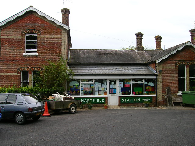
Hartfield railway station
Hartfield was a railway station serving Hartfield, England, on the Three Bridges to Tunbridge Wells Central Line which closed in 1967, a casualty of the...

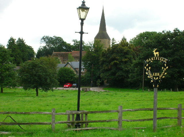
Hartfield
Hartfield is a village and civil parish in the Wealden district of East Sussex, England. The parish also includes the settlements of Colemans Hatch, Hammerwood...
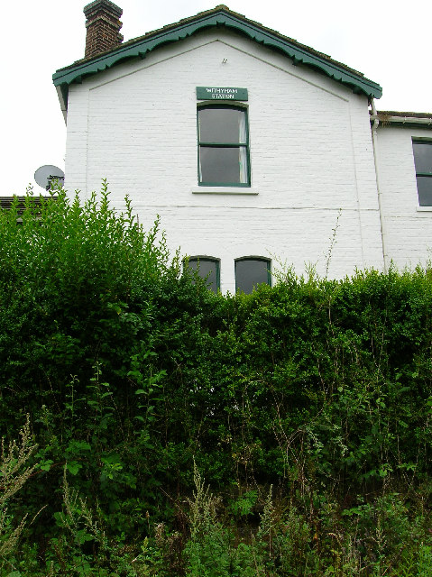
Withyham railway station
Withyham was a railway station on the Three Bridges to Tunbridge Wells Central Line which closed in 1967, a casualty of the Beeching Axe. The station opened...

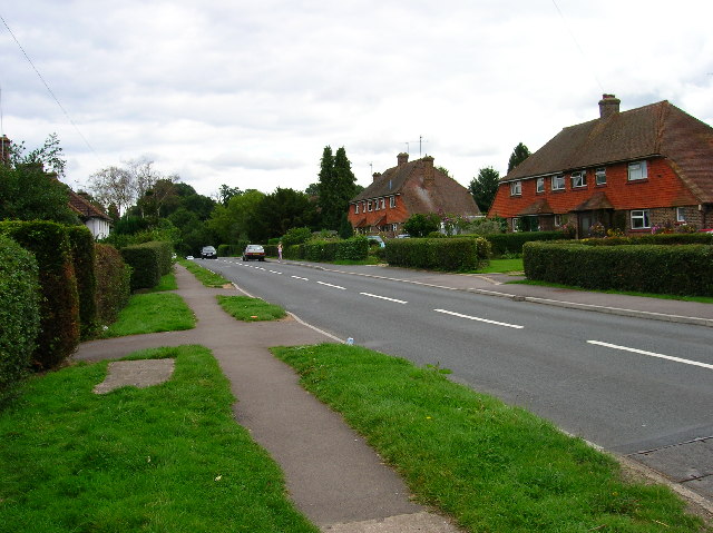
Withyham
Withyham is a village and large civil parish in the Wealden district of East Sussex, England. The village is situated 7 miles south west of Royal Tunbridge...

Oliver Sutton (RAF officer)
Captain Oliver Manners Sutton (12 March 1896 – 16 August 1921) was a British First World War flying ace credited with seven aerial victories. == Family... ==
Bolebroke Castle Miniature Railway
The Bolebroke Castle Miniature Railway or Bolebroke Castle and Lakes Railway (often abbreviated to BC&LR) was a 7+1⁄4 inches (180 mm) railway that ran...

Bolebroke Castle
Bolebroke Castle is a 15th-century hunting lodge located north of the village of Hartfield, East Sussex, England. It is a Grade II* listed building.The...
Nearby Amenities
Located within 500m of 51.111082,0.12250384Have you been to Long Shaw?
Leave your review of Long Shaw below (or comments, questions and feedback).