Leg Shaw

Wood, Forest in Kent Sevenoaks

England

Leg Shaw

Power line across the fields and through the wood The wood is Piggott's Wood.
Power line across the fields and through the wood Credit: Robin Webster

Leg Shaw, Kent (Wood, Forest) is a picturesque village located in the county of Kent, England. Situated in the southeastern part of the country, Leg Shaw is nestled amidst lush greenery and rolling hills, making it a perfect destination for those seeking a tranquil and scenic retreat.

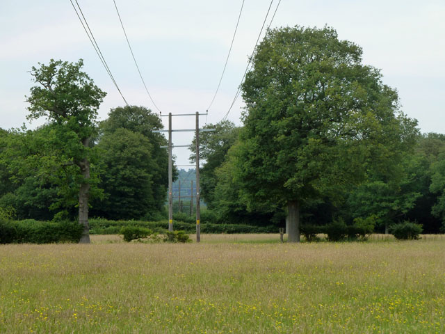
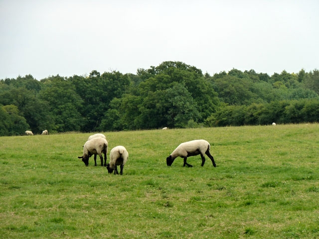
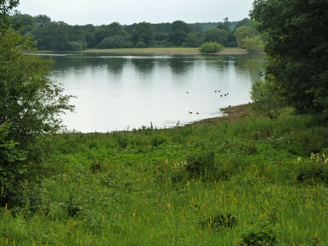
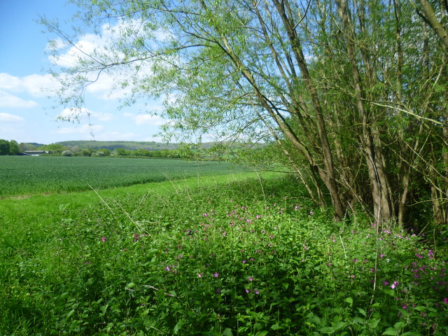
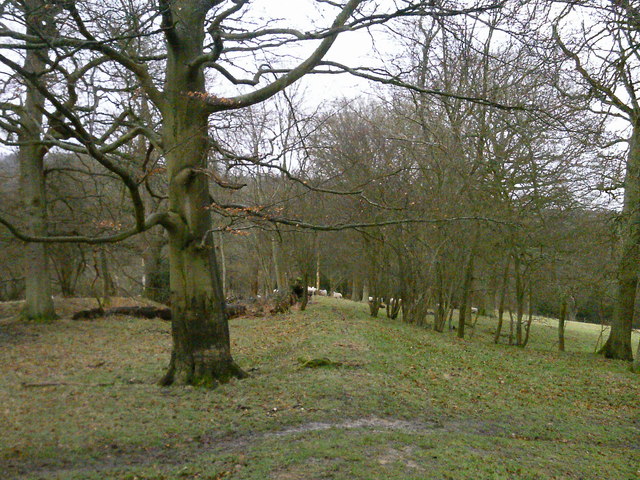
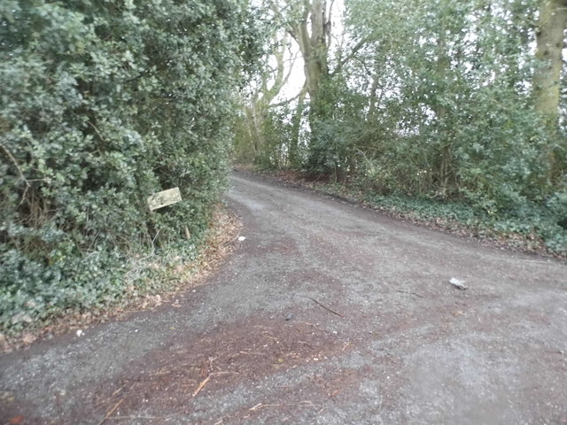
The village is known for its dense woodlands and enchanting forests, which attract nature enthusiasts and hikers from near and far. The surrounding woodlands provide a habitat for various wildlife species, including deer, rabbits, and a diverse range of birdlife. This makes Leg Shaw a popular spot for birdwatching and wildlife photography.

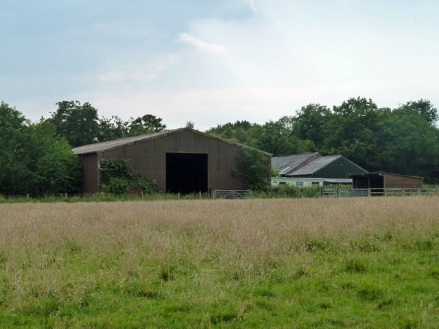
Leg Shaw is a small, close-knit community, with a population of approximately 500 residents. The village is characterized by its charming cottages and traditional architecture, giving it a timeless and rustic appeal. The locals are friendly and welcoming, and the village boasts a strong community spirit.

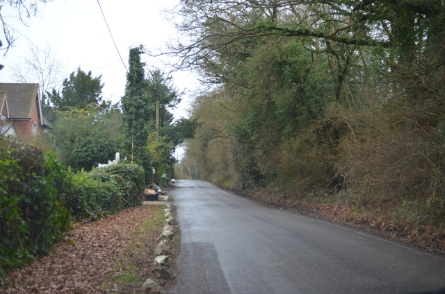
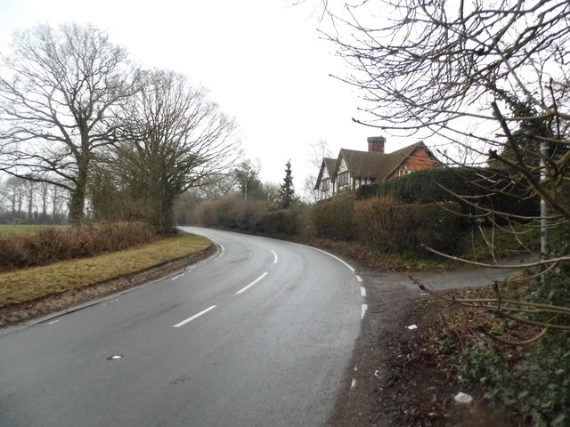
The village is well-connected to nearby towns and cities, with good transport links, making it easily accessible for visitors. The nearby town of Kent offers a range of amenities, including shops, restaurants, and leisure facilities. Additionally, the stunning coastline is just a short drive away, providing an opportunity for residents and visitors to enjoy the beach and indulge in water sports.

Overall, Leg Shaw, Kent (Wood, Forest) is a hidden gem that offers a peaceful escape from the hustle and bustle of city life. Its natural beauty, sense of community, and convenient location make it an attractive destination for both residents and tourists alike.

If you have any feedback on the listing, please let us know in the comments section below.
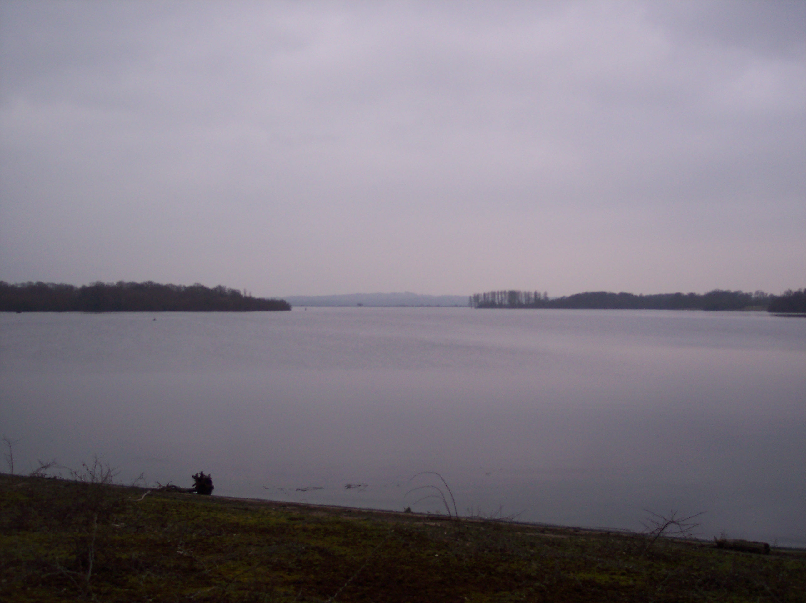
Leg Shaw Images

Images are sourced within 2km of 51.235517/0.12821175 or Grid Reference TQ4850. Thanks to Geograph Open Source API. All images are credited.

Power line across the fields and through the wood The wood is Piggott's Wood.
Power line across the fields and through the wood
The wood is Piggott's Wood.
Sheep grazing near Roodlands  Lane At the bottom of the slope behind the trees is a  fishing lake.
Sheep grazing near Roodlands Lane
At the bottom of the slope behind the trees is a fishing lake.
Preparations for laying a pipeline Work to relay a section of an oil pipeline which forms part of the Government Pipeline and Storage System.
Preparations for laying a pipeline
Work to relay a section of an oil pipeline which forms part of the Government Pipeline and Storage System.
Barns at Winkhurst Farm They are on Ide Hill Road, which is on the other side of the barns.
Barns at Winkhurst Farm
They are on Ide Hill Road, which is on the other side of the barns.
Bough Beech reservoir Operated by Sutton and East Surrey Water, even though this site is in Kent.
Bough Beech reservoir
Operated by Sutton and East Surrey Water, even though this site is in Kent.
Cooper’s Corner: postbox № TN14 209 This Victorian postbox is set into a pillar-like addition projecting from the frontage of a building which I think was once a pub: there is a 'PH' marked here on some large-scale maps and the Royal Mail's listing names this postbox as Frog & Bucket so I am assuming that is what the pub was called.
Cooper’s Corner: postbox № TN14 209
This Victorian postbox is set into a pillar-like addition projecting from the frontage of a building which I think was once a pub: there is a 'PH' marked here on some large-scale maps and the Royal Mail's listing names this postbox as Frog & Bucket so I am assuming that is what the pub was called.
A very full Bough Beech Reservoir This view taken from the footpath alongside the reservoir shows a very different picture from the one taken from close by in October 2010 - see <a title="https://www.geograph.org.uk/photo/2261211" href="https://www.geograph.org.uk/photo/2261211">Link</a>  The record rainfall in the winter of 2013/14 clearly had made the difference.
A very full Bough Beech Reservoir
This view taken from the footpath alongside the reservoir shows a very different picture from the one taken from close by in October 2010 - see Link The record rainfall in the winter of 2013/14 clearly had made the difference.
Footpath alongside Bough Beech Reservoir The record rainfall in the winter of 2013/14 had filled Bough Beech Reservoir and the water came right up to the path and was actually in the field to the left of it as well. See also <a title="https://www.geograph.org.uk/photo/3969094" href="https://www.geograph.org.uk/photo/3969094">Link</a>
Footpath alongside Bough Beech Reservoir
The record rainfall in the winter of 2013/14 had filled Bough Beech Reservoir and the water came right up to the path and was actually in the field to the left of it as well. See also Link
Bluebells in Long Broom Shaw This is the view from the footpath past Long Broom Shaw and just before the Bough Beech Visitor Centre is reached.
Bluebells in Long Broom Shaw
This is the view from the footpath past Long Broom Shaw and just before the Bough Beech Visitor Centre is reached.
Bluebells in Long Broom Shaw This is the view from the footpath past Long Broom Shaw and just before the Bough Beech Visitor Centre is reached.
Bluebells in Long Broom Shaw
This is the view from the footpath past Long Broom Shaw and just before the Bough Beech Visitor Centre is reached.
Looking towards the Greensand Ridge This view from a footpath across the road from the Bough Beech Visitor Centre looks towards the Greensand Ridge at Stubbs Wood. The typical woodland edge flowers of red campion can be seen in the foreground.
Looking towards the Greensand Ridge
This view from a footpath across the road from the Bough Beech Visitor Centre looks towards the Greensand Ridge at Stubbs Wood. The typical woodland edge flowers of red campion can be seen in the foreground.
Bough Beech Reservoir full to overflowing This view taken from the footpath alongside the reservoir shows a very different picture from the one taken from close by in October 2010 - see <a title="https://www.geograph.org.uk/photo/2261211" href="https://www.geograph.org.uk/photo/2261211">Link</a>  The record rainfall in the winter of 2013/14 clearly had made the difference.
Bough Beech Reservoir full to overflowing
This view taken from the footpath alongside the reservoir shows a very different picture from the one taken from close by in October 2010 - see Link The record rainfall in the winter of 2013/14 clearly had made the difference.
Lane near Cooper's Corner
Piggott's Wood
Piggott's Wood
South Brook Lane at the junction of Ide Hill Road
Ide Hill Road near Cooper's Corner
The entrance to Chittenden on Ide Hill Road
Ide Hill Road near Cooper's Corner
Show me another place!

Leg Shaw is located at Grid Ref: TQ4850 (Lat: 51.235517, Lng: 0.12821175)

Administrative County: Kent

District: Sevenoaks

Police Authority: Kent

What 3 Words

///fence.pushes.verge. Near Sundridge, Kent

Related Wikis

Ide Hill

Ide Hill is a village within the civil parish of Sundridge with Ide Hill, in the Sevenoaks District of Kent, England. It stands on one of the highest...

Stubbs Wood Country Park

Stubbs Wood Country Park is in Sevenoaks, in Kent, England. It is located on the Greensand Ridge, close to Ide Hill village. The site is owned and managed...

Bough Beech Reservoir

Bough Beech Reservoir is a 42-hectare (100-acre) nature reserve in Bough Beech, south-west of Sevenoaks in Kent. It was managed by the Kent Wildlife Trust...

Scord's Wood and Brockhoult Mount

Scord's Wood and Brockhoult Mount is a 252.3-hectare (623-acre) biological Site of Special Scientific Interest west of Sevenoaks in Kent. Scord's Wood...

Emmetts Garden

Emmetts Garden is an Edwardian estate located at Ide Hill, near Sevenoaks in Kent, UK. It is now owned by the National Trust for Places of Historic Interest...

Toys Hill

Toys Hill is a hamlet which lies within Brasted civil parish in the Sevenoaks district of Kent, England. It lies to the south of Brasted Chart, also in...

Bore Place

Bore Place (also Boar Place) was the country seat of the manor of Milbroke in Kent. The manor house was constructed in around 1745. It was originally named...

Four Elms

Four Elms is a village within the civil parish of Hever in the Sevenoaks District of Kent, England. The village is located on a crossroads between Edenbridge...

Nearby Amenities

Located within 500m of 51.235517,0.12821175
Barrier: kissing_gate
Lat/Long: 51.2384691/0.1331038
Barrier: stile
Lat/Long: 51.2396294/0.1288497
The data included in this document is from www.openstreetmap.org. The data is made available under ODbL.

Have you been to Leg Shaw?

Leave your review of Leg Shaw below (or comments, questions and feedback).