Bartlemy Grove

Wood, Forest in Essex Epping Forest

England

Bartlemy Grove

Pylon by Hobbs Cross Road, Theydon Garnon
Pylon by Hobbs Cross Road, Theydon Garnon Credit: David Howard

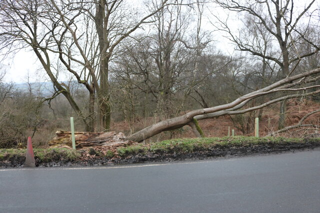
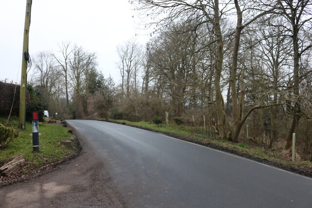
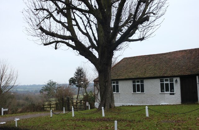
Bartlemy Grove is a picturesque woodland area located in Essex, England. Situated in the heart of the county, it is known for its lush greenery, diverse wildlife, and tranquil atmosphere. Spanning over several acres, this idyllic forest is a haven for nature enthusiasts and provides an escape from the bustling city life.

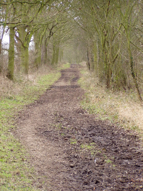
The woodland is primarily composed of native trees such as oak, beech, and birch, which create a dense canopy that filters sunlight and creates a cool and shaded environment. The forest floor is covered in a thick carpet of moss, ferns, and wildflowers, adding to the enchanting ambiance of the grove.

Bartlemy Grove is home to a variety of wildlife, making it a popular spot for birdwatchers and animal lovers. Visitors can expect to encounter species such as deer, foxes, squirrels, and a wide range of bird species including woodpeckers, owls, and robins. The woodland is also teeming with insects, butterflies, and other small creatures, making it an ideal habitat for biodiversity.

The grove offers several walking trails, allowing visitors to explore the beauty of the woodland at their own pace. The paths wind through the trees, leading to hidden clearings, babbling brooks, and small ponds. It is a perfect location for a leisurely stroll, a family picnic, or simply to find solace in nature.

Overall, Bartlemy Grove in Essex is a delightful destination for those seeking a serene and natural retreat. Its stunning woodlands, abundant wildlife, and peaceful surroundings make it an ideal spot for relaxation and appreciation of the natural world.

If you have any feedback on the listing, please let us know in the comments section below.

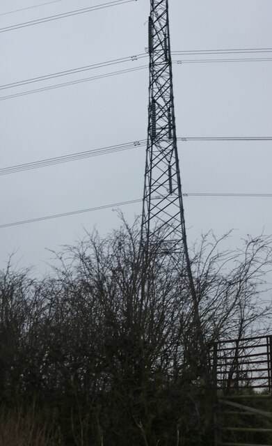
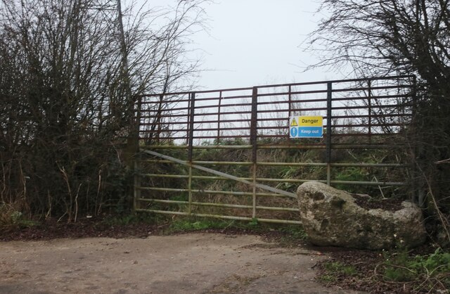
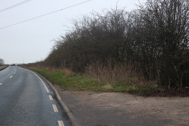
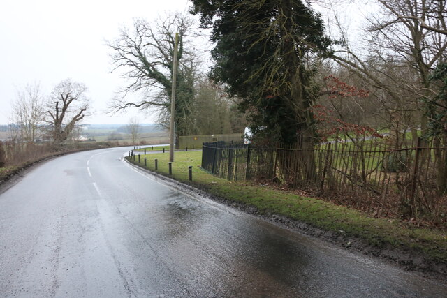
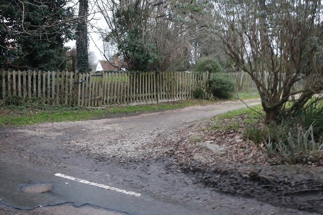
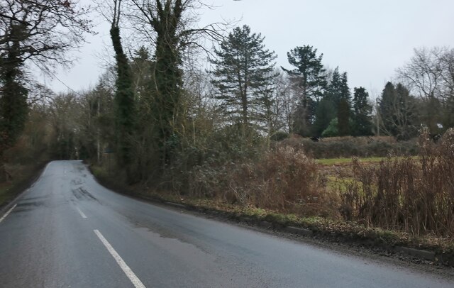
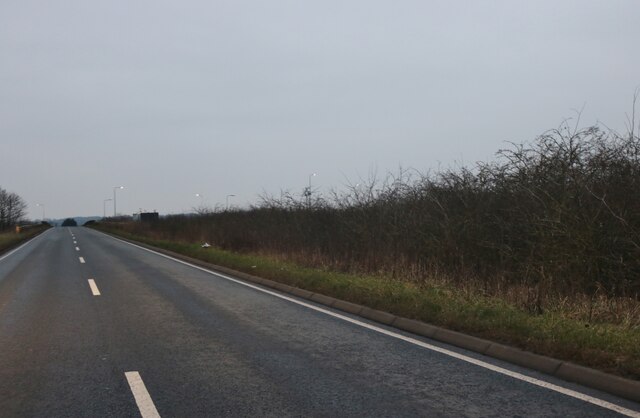
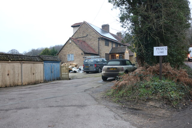
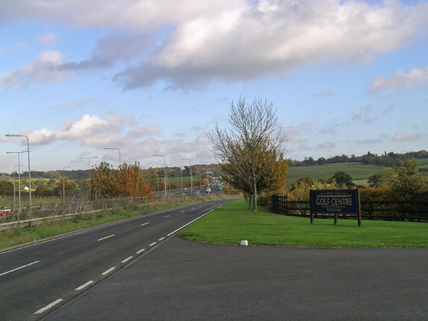
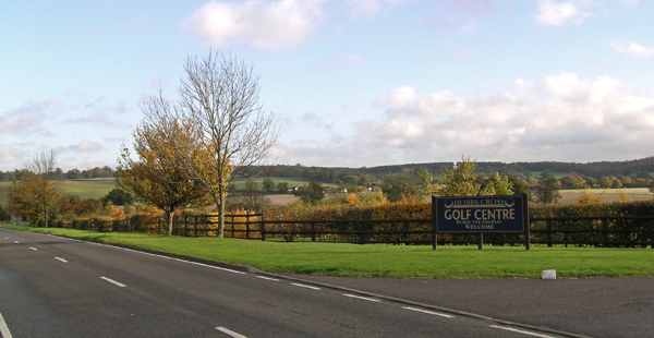
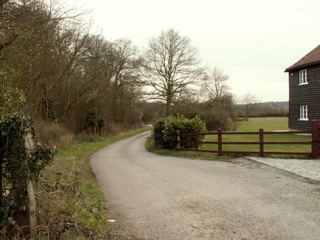
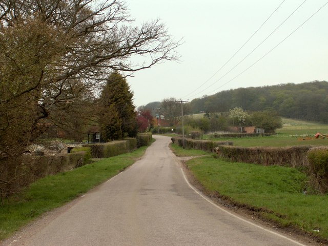
Bartlemy Grove Images

Images are sourced within 2km of 51.669134/0.14571354 or Grid Reference TQ4898. Thanks to Geograph Open Source API. All images are credited.

Pylon by Hobbs Cross Road, Theydon Garnon
Unusable entrance by Hobbs Cross Road, Theydon Garnon These blocked gates seem odd but I've come across many like it across the country, nearly all have concrete blocks or tree trunks put in the way. Surely they all had a use originally but apparently not any more.
Unusable entrance by Hobbs Cross Road, Theydon Garnon
These blocked gates seem odd but I've come across many like it across the country, nearly all have concrete blocks or tree trunks put in the way. Surely they all had a use originally but apparently not any more.
Hobbs Cross Road, Theydon Garnon
Mount Road, Theydon Mount The entrance to Hill Hall is on the right.
Mount Road, Theydon Mount
The entrance to Hill Hall is on the right.
Track off Mount Road, Theydon Mount
Mount Road, Theydon Mount
Hobbs Cross Road, Theydon Garnon The M25 junction 27 Theydon Interchange is on the right joining with the M11
Hobbs Cross Road, Theydon Garnon
The M25 junction 27 Theydon Interchange is on the right joining with the M11
House on Mount Road, Theydon Mount
Fallen tree on Mount Road, Theydon Mount This appears to have been hit by a vehicle as a picture in 2020 showed a damaged railing in front of it and the tree was only half the way down.
Fallen tree on Mount Road, Theydon Mount
This appears to have been hit by a vehicle as a picture in 2020 showed a damaged railing in front of it and the tree was only half the way down.
Mount Road, Theydon Mount
Mount Farm, Theydon Mount
Roman Road, Mount End, Essex This un-named Roman road ran thirty miles from London to Dunmow. Most of the line can be traced on modern roads, but here it survives, unsurfaced, as a bridleway. <a href="https://www.geograph.org.uk/gridref/TL4901">TL4901</a> <a href="https://www.geograph.org.uk/gridref/TL4902">TL4902</a>
Roman Road, Mount End, Essex
This un-named Roman road ran thirty miles from London to Dunmow. Most of the line can be traced on modern roads, but here it survives, unsurfaced, as a bridleway. TL4901 TL4902
View of M11 motorway and Hobbs Cross Golf Course The photo was taken looking North with the M11 to my left and Hobbs Cross Golf course to my right - very noisy, I wonder if it efforts the golf play?!
View of M11 motorway and Hobbs Cross Golf Course
The photo was taken looking North with the M11 to my left and Hobbs Cross Golf course to my right - very noisy, I wonder if it efforts the golf play?!
Hobbs Cross Golf Centre and surrounding countryside This shot shows the golf course and Essex views of the 'hills'. What it does
not show the roaring traffic of the M11 to my left
Hobbs Cross Golf Centre and surrounding countryside
This shot shows the golf course and Essex views of the 'hills'. What it does not show the roaring traffic of the M11 to my left
A bridleway and road to Peakes Farm After the bend in the road it straightens out and follows the course of a Roman road.
A bridleway and road to Peakes Farm
After the bend in the road it straightens out and follows the course of a Roman road.
The southern approach to Mount End This section of road follows the course of a Roman road.
The southern approach to Mount End
This section of road follows the course of a Roman road.
An attractive timber-framed house at Mount End
M11 junction 6
M11 junction 6
Show me another place!

Bartlemy Grove is located at Grid Ref: TQ4898 (Lat: 51.669134, Lng: 0.14571354)

Administrative County: Essex

District: Epping Forest

Police Authority: Essex

What 3 Words

///above.pirate.dull. Near Abridge, Essex

Related Wikis

Hill Hall (Essex)

Hill Hall is an Elizabethan mansion located in Theydon Mount near Epping, Essex, England. Although owned by English Heritage, the building consists of...

Theydon Mount

Theydon Mount is a village and civil parish in the Epping Forest district of the county of Essex, England. The village is notable for the Grade I listed...

Brookhouse Brook

Brookhouse Brook is a 6.23 km (3.87 mi) long stream (brook) in the Epping Forest District of Essex, England, that is a tributary to the River Roding....

Theydon Garnon

Theydon Garnon is a village and civil parish in the Epping Forest district, in the county of Essex, England. The parish also includes the hamlet of Hobbs...

Stapleford Tawney

Stapleford Tawney is a village and civil parish in the Epping Forest district of Essex, England. Stapleford Tawney is approximately 4 miles (6 km) west...

Stapleford Aerodrome

Stapleford Aerodrome (ICAO: EGSG) is an operational general aviation aerodrome in the Epping Forest district of Essex, England, near the village of Abridge...

Mount End

Mount End is a hamlet in the civil parish of Theydon Mount, in the Epping Forest district, in the county of Essex, England. == Transport == Mount End is...

Passingford Bridge

Passingford Bridge is a bridge over the River Roding, and a surrounding hamlet, in the parish of Stapleford Tawney in the Epping Forest district of Essex...

Nearby Amenities

Located within 500m of 51.669134,0.14571354
Milestone
Distance: 161.3
Ref: B
Source: Mapillary (2019-04-08)
Lat/Long: 51.6727931/0.1432318
Milestone
Distance: 161.3
Ref: A
Source: Mapillary (2019-04-08)
Lat/Long: 51.6729134/0.1433879
Power: tower
Lat/Long: 51.672743/0.1461938
Power: tower
Lat/Long: 51.6713824/0.1493722
Street Lamp
Lamp Model: Schréder Sapphire 2
Lamp Type: high_pressure_sodium
Light Count: 1
Source: Mapillary (2019-04-08)
Lat/Long: 51.6700941/0.1492058
Street Lamp
Lamp Model: Schréder Sapphire 2
Lamp Type: high_pressure_sodium
Light Count: 1
Source: Mapillary (2019-04-08)
Lat/Long: 51.6690861/0.1524726
Milestone
Distance: 161.8
Ref: B
Source: Mapillary (2019-04-08)
Lat/Long: 51.6702205/0.1492561
Street Lamp
Lamp Model: Schréder Sapphire 2
Lamp Type: high_pressure_sodium
Light Count: 1
Source: Mapillary (2019-04-08)
Lat/Long: 51.6721985/0.1451522
Street Lamp
Lamp Model: Schréder Sapphire 2
Lamp Type: high_pressure_sodium
Light Count: 1
Source: Mapillary (2019-04-08)
Lat/Long: 51.6694476/0.1527348
Street Lamp
Lamp Model: Schréder Sapphire 2
Lamp Type: high_pressure_sodium
Light Count: 1
Source: Mapillary (2019-04-08)
Lat/Long: 51.6702317/0.1501497
Street Lamp
Lamp Model: Schréder Sapphire 2
Lamp Type: high_pressure_sodium
Light Count: 1
Source: Mapillary (2019-04-08)
Lat/Long: 51.6711593/0.1476071
Street Lamp
Lamp Model: Schréder Sapphire 2
Lamp Type: high_pressure_sodium
Light Count: 1
Source: Mapillary (2019-04-08)
Lat/Long: 51.6704486/0.1495209
Speed Camera
Maxspeed: 70 mph
Maxspeed Type: GB:motorway
Maxspeed Variable: peak_traffic
Source: Mapillary (2019-04-08)
Lat/Long: 51.6701534/0.1494493
Street Lamp
Lamp Model: Schréder Sapphire 2
Lamp Type: high_pressure_sodium
Light Count: 1
Source: Mapillary (2019-04-08)
Lat/Long: 51.6730478/0.1434212
Street Lamp
Lamp Model: Schréder Sapphire 2
Lamp Type: high_pressure_sodium
Light Count: 1
Source: Mapillary (2019-04-08)
Lat/Long: 51.6727598/0.1430425
Phone
Check Date: 2021-09-02
Emergency: phone
Source: Mapillary (2019-04-08)
Lat/Long: 51.6728512/0.1428392
Phone
Check Date: 2021-09-02
Emergency: phone
Source: Mapillary (2019-04-08)
Lat/Long: 51.673138/0.1432324
Milestone
Distance: 161.8
Ref: A
Source: Mapillary (2019-04-08)
Lat/Long: 51.6703666/0.1493877
Street Lamp
Lamp Model: Schréder Sapphire 2
Lamp Type: high_pressure_sodium
Light Count: 1
Source: Mapillary (2019-04-08)
Lat/Long: 51.6727516/0.1439853
Street Lamp
Lamp Model: Schréder Sapphire 2
Lamp Type: high_pressure_sodium
Light Count: 1
Source: Mapillary (2019-04-08)
Lat/Long: 51.6724692/0.1445621
Street Lamp
Lamp Model: Schréder Sapphire 2
Lamp Type: high_pressure_sodium
Light Count: 1
Source: Mapillary (2019-04-08)
Lat/Long: 51.6719271/0.1457406
Street Lamp
Lamp Model: Schréder Sapphire 2
Lamp Type: high_pressure_sodium
Light Count: 1
Source: Mapillary (2019-04-08)
Lat/Long: 51.6717636/0.1461175
Street Lamp
Lamp Model: Schréder Sapphire 2
Lamp Type: high_pressure_sodium
Light Count: 1
Source: Mapillary (2019-04-08)
Lat/Long: 51.6714157/0.1469704
Street Lamp
Lamp Model: Schréder Sapphire 2
Lamp Type: high_pressure_sodium
Light Count: 1
Source: Mapillary (2019-04-08)
Lat/Long: 51.6709096/0.1482409
Street Lamp
Lamp Model: Schréder Sapphire 2
Lamp Type: high_pressure_sodium
Light Count: 1
Source: Mapillary (2019-04-08)
Lat/Long: 51.6706772/0.148876
Street Lamp
Lamp Model: Schréder Sapphire 2
Lamp Type: high_pressure_sodium
Light Count: 1
Source: Mapillary (2019-04-08)
Lat/Long: 51.6700236/0.1507896
Street Lamp
Lamp Model: Schréder Sapphire 2
Lamp Type: high_pressure_sodium
Light Count: 1
Source: Mapillary (2019-04-08)
Lat/Long: 51.6698231/0.1514245
Street Lamp
Lamp Model: Schréder Sapphire 2
Lamp Type: high_pressure_sodium
Light Count: 1
Source: Mapillary (2019-04-08)
Lat/Long: 51.669634/0.1520689
Noexit: yes
Lat/Long: 51.6665826/0.1458321
Noexit: yes
Lat/Long: 51.6664596/0.1457003
The data included in this document is from www.openstreetmap.org. The data is made available under ODbL.

Have you been to Bartlemy Grove?

Leave your review of Bartlemy Grove below (or comments, questions and feedback).