Hilly Spring

Wood, Forest in Essex Epping Forest

England

Hilly Spring

Pylon by Hobbs Cross Road, Theydon Garnon
Pylon by Hobbs Cross Road, Theydon Garnon Credit: David Howard

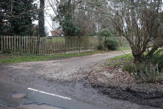
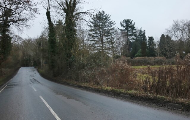
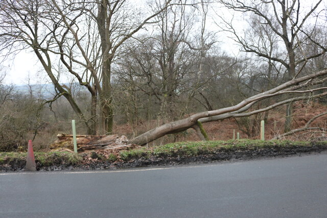
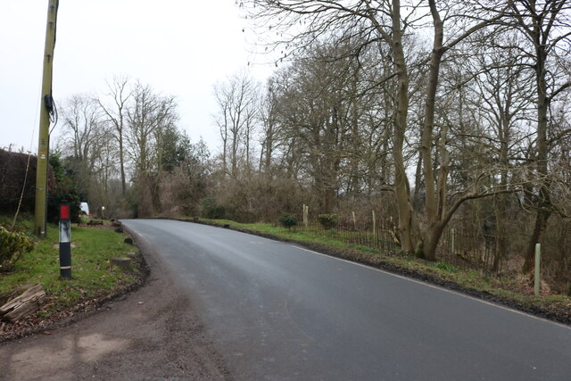
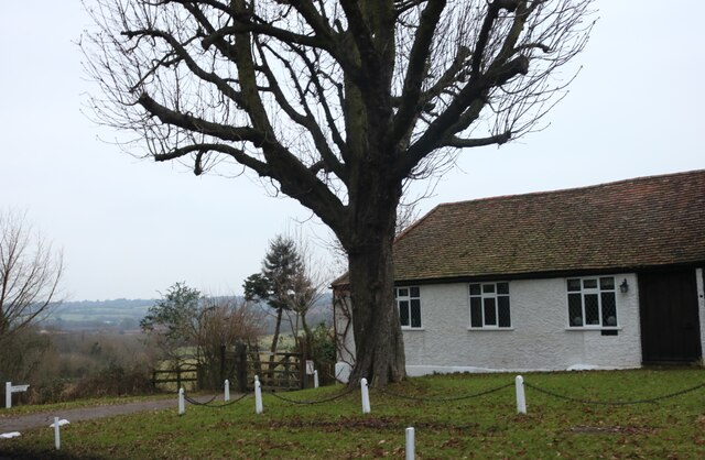
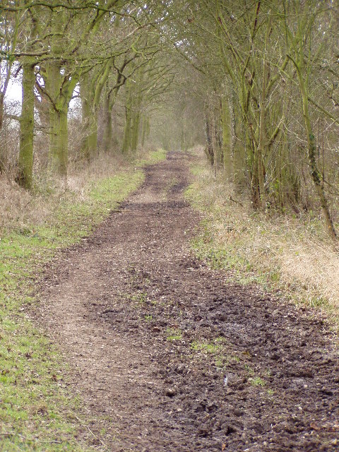
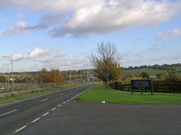
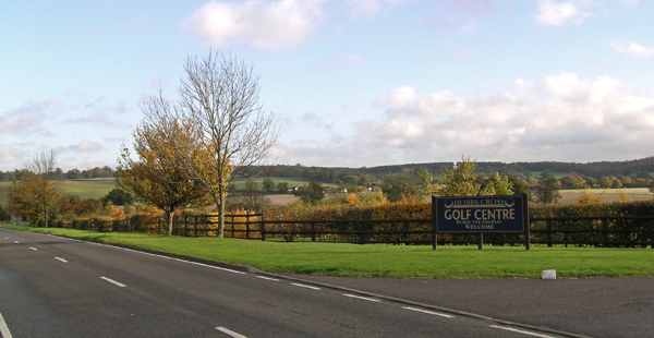
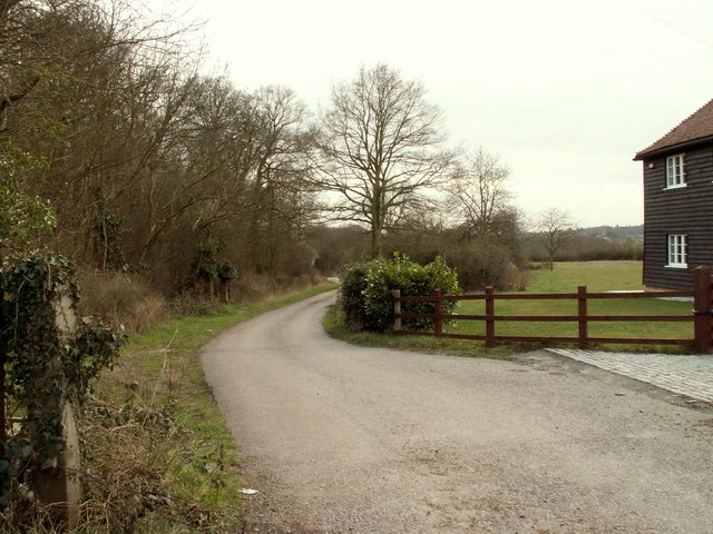
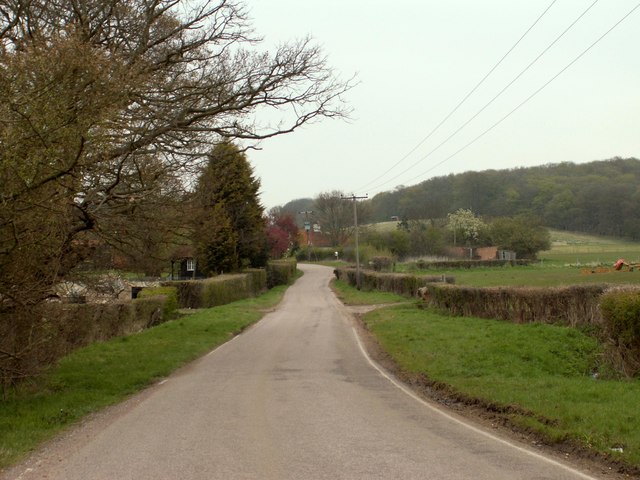
Hilly Spring is a picturesque woodland located in Essex, England. Nestled within the county's diverse landscapes, this wooded area is known for its tranquil and natural beauty. Spanning over several acres, Hilly Spring offers a serene escape from the bustling city life.

The forest is characterized by its hilly terrain, which adds to its charm and provides visitors with breathtaking views from various vantage points. The lush greenery is predominantly made up of deciduous trees such as oak, beech, and birch, creating a rich and vibrant canopy that changes with the seasons. Bluebells, wildflowers, and ferns dot the forest floor, enhancing its visual appeal and attracting a variety of wildlife.

Visitors to Hilly Spring can enjoy a range of outdoor activities, including hiking, nature walks, and birdwatching. The woodland is home to various bird species, including woodpeckers, owls, and thrushes, making it a popular spot for bird enthusiasts. The forest's diverse ecosystem also provides a habitat for mammals such as deer, foxes, and rabbits.

For those seeking a peaceful retreat, Hilly Spring offers secluded picnic spots and benches where visitors can relax and soak in the natural surroundings. There are also designated trails for walkers and cyclists, allowing visitors to explore the forest at their own pace.

Hilly Spring is easily accessible, with ample parking facilities and well-maintained paths. It provides a serene and idyllic setting for nature lovers and offers a much-needed respite from the hectic pace of everyday life.

If you have any feedback on the listing, please let us know in the comments section below.
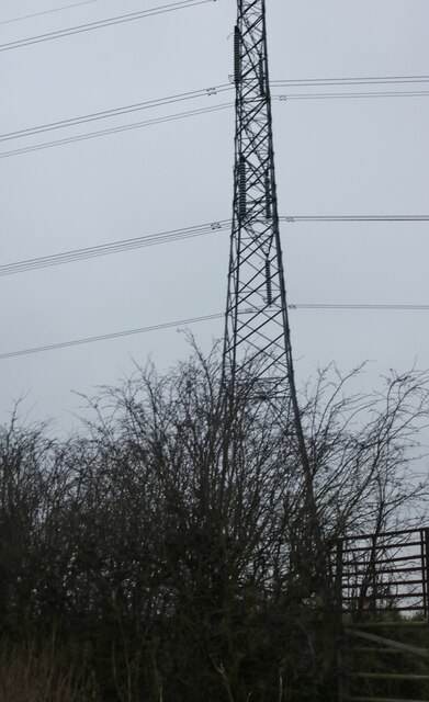
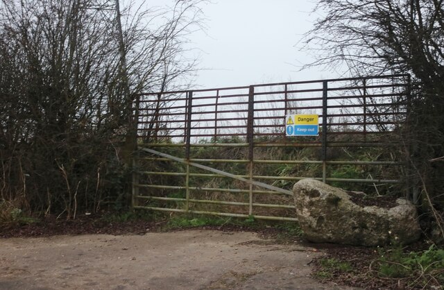
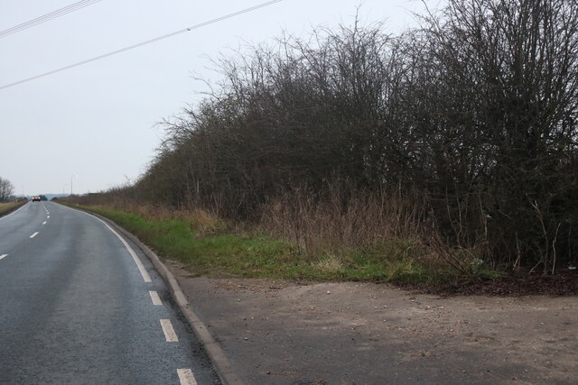
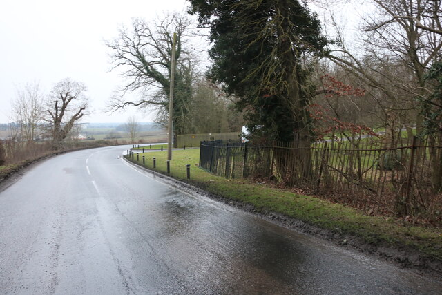
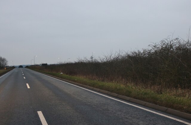
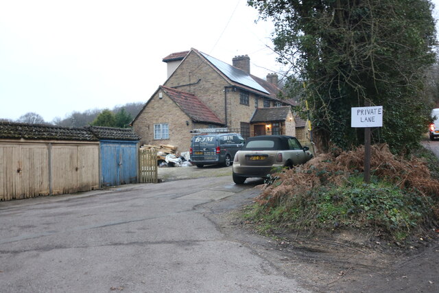
Hilly Spring Images

Images are sourced within 2km of 51.668041/0.14349265 or Grid Reference TQ4898. Thanks to Geograph Open Source API. All images are credited.

Pylon by Hobbs Cross Road, Theydon Garnon
Unusable entrance by Hobbs Cross Road, Theydon Garnon These blocked gates seem odd but I've come across many like it across the country, nearly all have concrete blocks or tree trunks put in the way. Surely they all had a use originally but apparently not any more.
Unusable entrance by Hobbs Cross Road, Theydon Garnon
These blocked gates seem odd but I've come across many like it across the country, nearly all have concrete blocks or tree trunks put in the way. Surely they all had a use originally but apparently not any more.
Hobbs Cross Road, Theydon Garnon
Mount Road, Theydon Mount The entrance to Hill Hall is on the right.
Mount Road, Theydon Mount
The entrance to Hill Hall is on the right.
Track off Mount Road, Theydon Mount
Mount Road, Theydon Mount
Hobbs Cross Road, Theydon Garnon The M25 junction 27 Theydon Interchange is on the right joining with the M11
Hobbs Cross Road, Theydon Garnon
The M25 junction 27 Theydon Interchange is on the right joining with the M11
House on Mount Road, Theydon Mount
Fallen tree on Mount Road, Theydon Mount This appears to have been hit by a vehicle as a picture in 2020 showed a damaged railing in front of it and the tree was only half the way down.
Fallen tree on Mount Road, Theydon Mount
This appears to have been hit by a vehicle as a picture in 2020 showed a damaged railing in front of it and the tree was only half the way down.
Mount Road, Theydon Mount
Mount Farm, Theydon Mount
Roman Road, Mount End, Essex This un-named Roman road ran thirty miles from London to Dunmow. Most of the line can be traced on modern roads, but here it survives, unsurfaced, as a bridleway. <a href="https://www.geograph.org.uk/gridref/TL4901">TL4901</a> <a href="https://www.geograph.org.uk/gridref/TL4902">TL4902</a>
Roman Road, Mount End, Essex
This un-named Roman road ran thirty miles from London to Dunmow. Most of the line can be traced on modern roads, but here it survives, unsurfaced, as a bridleway. TL4901 TL4902
View of M11 motorway and Hobbs Cross Golf Course The photo was taken looking North with the M11 to my left and Hobbs Cross Golf course to my right - very noisy, I wonder if it efforts the golf play?!
View of M11 motorway and Hobbs Cross Golf Course
The photo was taken looking North with the M11 to my left and Hobbs Cross Golf course to my right - very noisy, I wonder if it efforts the golf play?!
Hobbs Cross Golf Centre and surrounding countryside This shot shows the golf course and Essex views of the 'hills'. What it does
not show the roaring traffic of the M11 to my left
Hobbs Cross Golf Centre and surrounding countryside
This shot shows the golf course and Essex views of the 'hills'. What it does not show the roaring traffic of the M11 to my left
A bridleway and road to Peakes Farm After the bend in the road it straightens out and follows the course of a Roman road.
A bridleway and road to Peakes Farm
After the bend in the road it straightens out and follows the course of a Roman road.
The southern approach to Mount End This section of road follows the course of a Roman road.
The southern approach to Mount End
This section of road follows the course of a Roman road.
M11 junction 6
M11 junction 6
M11 junction 6
M11 junction 6
Show me another place!

Hilly Spring is located at Grid Ref: TQ4898 (Lat: 51.668041, Lng: 0.14349265)

Administrative County: Essex

District: Epping Forest

Police Authority: Essex

What 3 Words

///they.asleep.police. Near Abridge, Essex

Related Wikis

Hill Hall (Essex)

Hill Hall is an Elizabethan mansion located in Theydon Mount near Epping, Essex, England. Although owned by English Heritage, the building consists of...

Brookhouse Brook

Brookhouse Brook is a 6.23 km (3.87 mi) long stream (brook) in the Epping Forest District of Essex, England, that is a tributary to the River Roding....

Theydon Mount

Theydon Mount is a village and civil parish in the Epping Forest district of the county of Essex, England. The village is notable for the Grade I listed...

Theydon Garnon

Theydon Garnon is a village and civil parish in the Epping Forest district, in the county of Essex, England. The parish also includes the hamlet of Hobbs...

Stapleford Aerodrome

Stapleford Aerodrome (ICAO: EGSG) is an operational general aviation aerodrome in the Epping Forest district of Essex, England, near the village of Abridge...

Stapleford Tawney

Stapleford Tawney is a village and civil parish in the Epping Forest district of Essex, England. Stapleford Tawney is approximately 4 miles (6 km) west...

Mount End

Mount End is a hamlet in the civil parish of Theydon Mount, in the Epping Forest district, in the county of Essex, England. == Transport == Mount End is...

Passingford Bridge

Passingford Bridge is a bridge over the River Roding, and a surrounding hamlet, in the parish of Stapleford Tawney in the Epping Forest district of Essex...

Related Videos

UK - ESSEX WALK - Theydon Bois - Lark Lemon Travel

UK - ESSEX WALK - Theydon Bois - Lark Lemon Travel This video is filmed in 4K/HD so please go into advanced settings for ...

Theydon Bois Walk | Essex U.K| Virtual Walking Tour| Here We Go | Every Tube Station in London! |

Walk around Theydon Bois in Essex, United Kingdom with Here We Go! Filmed on Thursday 30th December 2021. Theydon Bois ...

Nearby Amenities

Located within 500m of 51.668041,0.14349265
Street Lamp
Lamp Model: Schréder Sapphire 2
Lamp Type: high_pressure_sodium
Light Count: 1
Source: Mapillary (2019-04-08)
Lat/Long: 51.6700941/0.1492058
Milestone
Distance: 161.8
Ref: B
Source: Mapillary (2019-04-08)
Lat/Long: 51.6702205/0.1492561
Street Lamp
Lamp Model: Schréder Sapphire 2
Lamp Type: high_pressure_sodium
Light Count: 1
Source: Mapillary (2019-04-08)
Lat/Long: 51.6721985/0.1451522
Street Lamp
Lamp Model: Schréder Sapphire 2
Lamp Type: high_pressure_sodium
Light Count: 1
Source: Mapillary (2019-04-08)
Lat/Long: 51.6711593/0.1476071
Street Lamp
Lamp Model: Schréder Sapphire 2
Lamp Type: high_pressure_sodium
Light Count: 1
Source: Mapillary (2019-04-08)
Lat/Long: 51.6704486/0.1495209
Speed Camera
Maxspeed: 70 mph
Maxspeed Type: GB:motorway
Maxspeed Variable: peak_traffic
Source: Mapillary (2019-04-08)
Lat/Long: 51.6701534/0.1494493
Milestone
Distance: 161.8
Ref: A
Source: Mapillary (2019-04-08)
Lat/Long: 51.6703666/0.1493877
Street Lamp
Lamp Model: Schréder Sapphire 2
Lamp Type: high_pressure_sodium
Light Count: 1
Source: Mapillary (2019-04-08)
Lat/Long: 51.6724692/0.1445621
Street Lamp
Lamp Model: Schréder Sapphire 2
Lamp Type: high_pressure_sodium
Light Count: 1
Source: Mapillary (2019-04-08)
Lat/Long: 51.6719271/0.1457406
Street Lamp
Lamp Model: Schréder Sapphire 2
Lamp Type: high_pressure_sodium
Light Count: 1
Source: Mapillary (2019-04-08)
Lat/Long: 51.6717636/0.1461175
Street Lamp
Lamp Model: Schréder Sapphire 2
Lamp Type: high_pressure_sodium
Light Count: 1
Source: Mapillary (2019-04-08)
Lat/Long: 51.6714157/0.1469704
Street Lamp
Lamp Model: Schréder Sapphire 2
Lamp Type: high_pressure_sodium
Light Count: 1
Source: Mapillary (2019-04-08)
Lat/Long: 51.6709096/0.1482409
Street Lamp
Lamp Model: Schréder Sapphire 2
Lamp Type: high_pressure_sodium
Light Count: 1
Source: Mapillary (2019-04-08)
Lat/Long: 51.6706772/0.148876
Noexit: yes
Lat/Long: 51.6640973/0.1402715
Give Way
Direction: forward
Lat/Long: 51.6645717/0.1445222
Noexit: yes
Lat/Long: 51.6665826/0.1458321
Noexit: yes
Lat/Long: 51.6664596/0.1457003
The data included in this document is from www.openstreetmap.org. The data is made available under ODbL.

Have you been to Hilly Spring?

Leave your review of Hilly Spring below (or comments, questions and feedback).