Hudshill Plantation
Wood, Forest in Essex Uttlesford
England
Hudshill Plantation
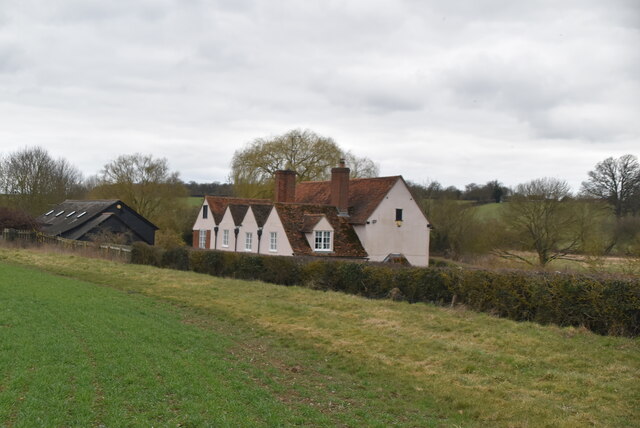
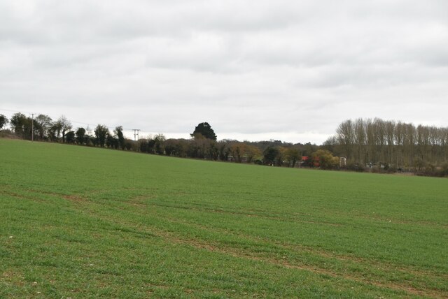
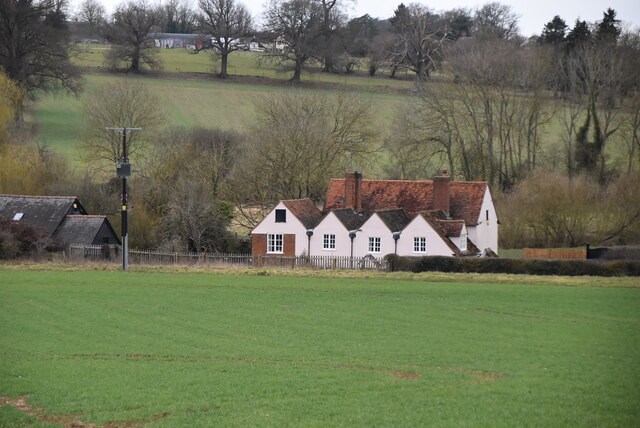
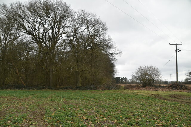
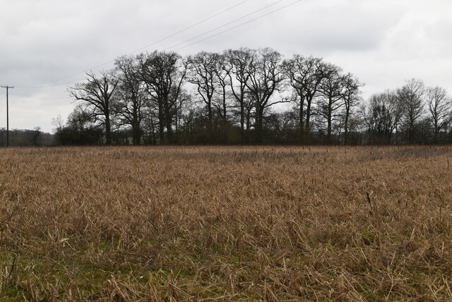
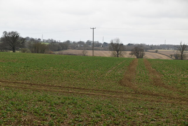
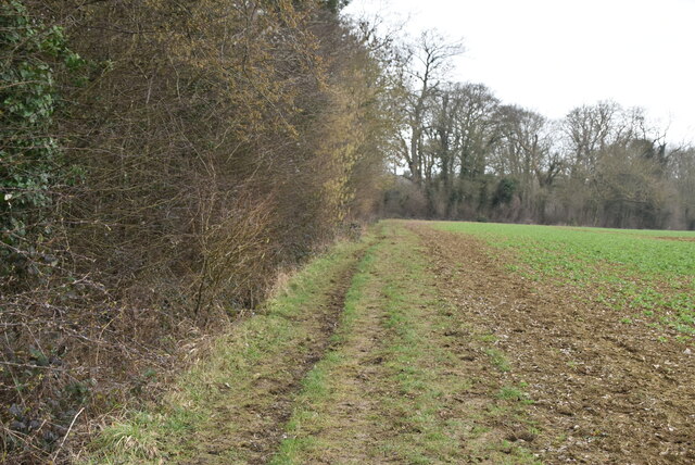
Hudshill Plantation is a sprawling woodland area located in Essex, England. Situated in the heart of the county, this picturesque plantation covers an estimated area of over 500 acres. The plantation primarily consists of dense and well-preserved woodlands, making it a haven for nature lovers, hikers, and wildlife enthusiasts.
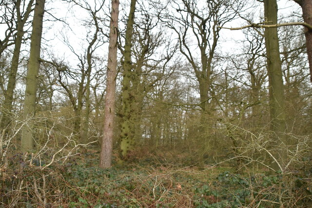
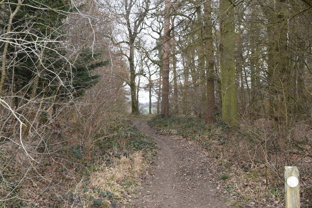
The woodland in Hudshill Plantation is predominantly made up of various species of trees, including oak, beech, and birch. These trees provide a rich canopy that offers shade and shelter for a diverse range of flora and fauna. The plantation is also home to a variety of wildflowers, ferns, and mosses, further enhancing its natural beauty.
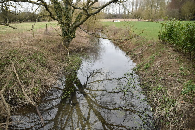
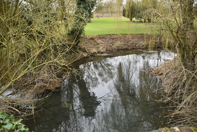
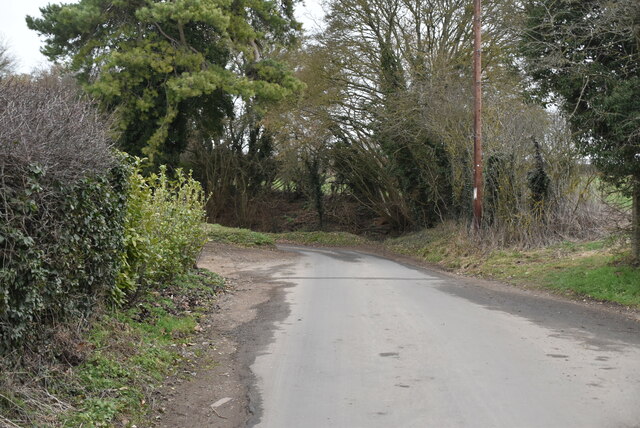
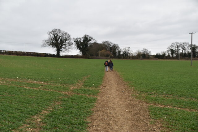
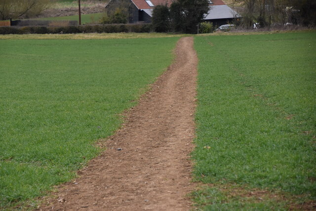
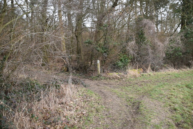
A network of well-maintained trails runs through the plantation, allowing visitors to explore the area at their own pace. These trails offer breathtaking views of the surrounding landscape, with opportunities to spot wildlife such as deer, squirrels, and a wide range of bird species. The plantation also features a small stream that meanders through the woods, adding to its tranquility.
Hudshill Plantation is a popular destination for outdoor activities, including walking, jogging, and picnicking. The plantation management ensures that the area is well-maintained and accessible to all visitors. It also hosts educational programs and guided tours, providing an opportunity for visitors to learn about the local flora and fauna.
Overall, Hudshill Plantation is a natural gem in Essex, offering a peaceful retreat from the hustle and bustle of urban life. Its diverse woodland, scenic trails, and abundant wildlife make it a must-visit destination for nature enthusiasts and those seeking solace in the beauty of the Essex countryside.
If you have any feedback on the listing, please let us know in the comments section below.
Hudshill Plantation Images
Images are sourced within 2km of 51.894373/0.15535292 or Grid Reference TL4823. Thanks to Geograph Open Source API. All images are credited.


Hudshill Plantation is located at Grid Ref: TL4823 (Lat: 51.894373, Lng: 0.15535292)
Administrative County: Essex
District: Uttlesford
Police Authority: Essex
What 3 Words
///dimension.download.caressing. Near Bishops Stortford, Hertfordshire
Nearby Locations
Related Wikis

Bentfield Bury
Bentfield Bury is a small village in Essex, England. It is one of over 100 villages in the district of Uttlesford and is within Stansted Mountfitchet parish...
Bentfield Green
Bentfield Green is an area of common land and settlement in the village of Stansted Mountfitchet, in the civil parish of Stansted Mountfitchet, in the...
Farnham, Essex
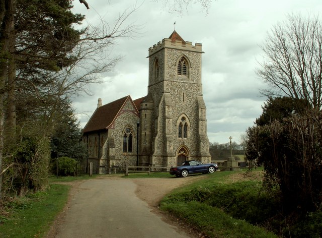
Farnham is a small village in Essex, England, situated near Bishop's Stortford. The main features are Farnham Church of England Primary School, the church...

Cricket Field Lane
Cricketfield Lane is a cricket ground in Bishop's Stortford, Hertfordshire. The earliest recorded match on the ground was in 1862 between Bishop's Stortford...
Waytemore Castle
Waytemore Castle is a ruined castle in the town of Bishop's Stortford in Hertfordshire, England. The remains are a Grade I listed structure.This began...

Boar's Head Inn, Bishop's Stortford
The Boar's Head Inn is a Grade II* listed public house in Bishop's Stortford, Hertfordshire, England. The timber framed building was built in the late...
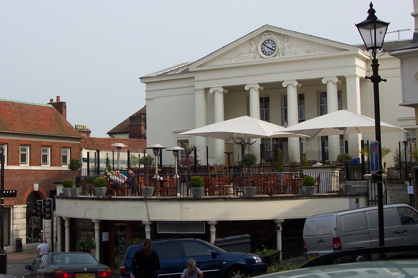
Corn Exchange, Bishop's Stortford
The Corn Exchange is a commercial building in the Market Square in Bishop's Stortford, Hertfordshire, England. The structure, which is currently used to...
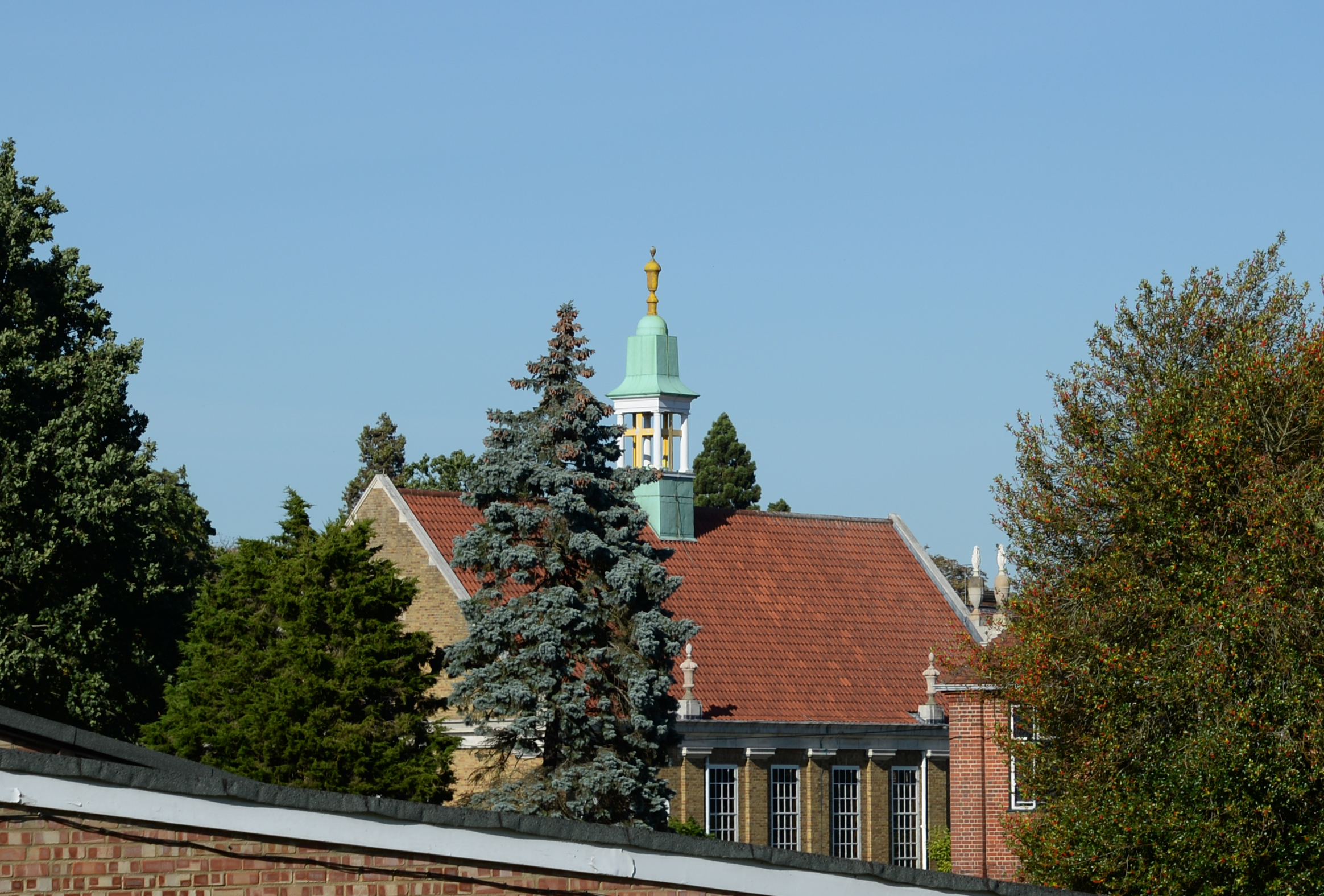
Bishop's Stortford College
Bishop's Stortford College is a private boarding and day school in the English public school tradition for more than 1,200 pupils aged 4–18, situated in...
Related Videos

My laser life! 💛
Sunday Showcase… Happy Bank Holiday Weekend! Thank you to all my clients for letting me film your treatments!

Stortford Strollers - Apr 2019
Promotional video for Walking Basketball UK and Basketball England (April 2019).

What can you treat with laser?
Sunday Showcase… Happy Bank Holiday! ☀️ Thank you to all my clients for letting me film your treatments! Get in ...
6. Engine Died In The Middle Of The River, Then Down The Lea To The Stort For Some New Adventures!
6. Engine Died In The Middle Of The River, Then Down The Lea To The Stort For Some New Adventures! Me And Aitch Are ...
Nearby Amenities
Located within 500m of 51.894373,0.15535292Have you been to Hudshill Plantation?
Leave your review of Hudshill Plantation below (or comments, questions and feedback).