Home Grove

Wood, Forest in Essex Uttlesford

England

Home Grove

Arkesden church
Arkesden church Credit: mym

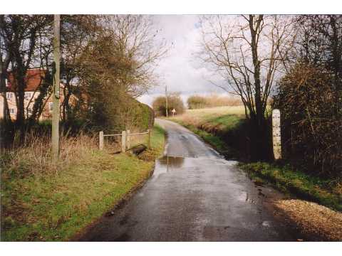
Home Grove is a small village located in the county of Essex, England. Situated within the lush woodlands and picturesque forests of the region, it offers residents and visitors a tranquil and idyllic escape from the bustling city life. The village is nestled amidst verdant greenery, providing a serene and peaceful environment.

Home Grove is renowned for its scenic beauty, with numerous walking trails and nature reserves that attract nature enthusiasts and hikers alike. The woodlands surrounding the village are home to a diverse range of flora and fauna, making it an ideal destination for those interested in wildlife observation and photography.

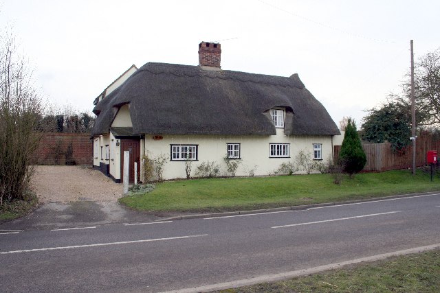
The village itself is characterized by its charming cottages and traditional architecture, giving it a quaint and timeless appeal. The community in Home Grove is close-knit, fostering a warm and welcoming atmosphere for both locals and newcomers. The village has a range of amenities, including a local shop, a primary school, and a village hall that hosts various community events throughout the year.

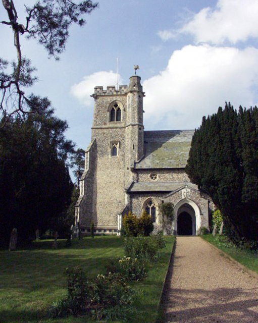
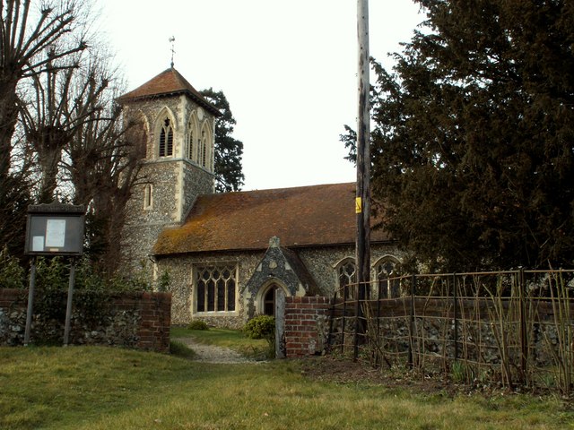
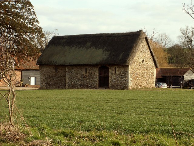
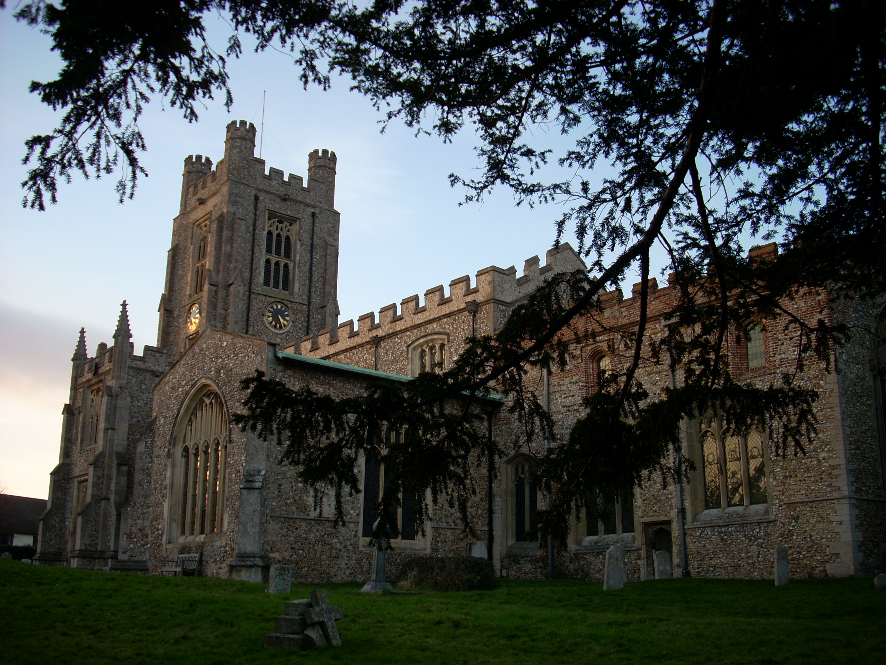
For those seeking a taste of history, Home Grove is not far from notable historical sites such as Essex Castle and St. Mary's Church, which dates back to the medieval period. Additionally, the village is conveniently located near several larger towns and cities, providing easy access to shopping centers, restaurants, and cultural attractions.

Overall, Home Grove, Essex, is a charming village surrounded by lush woodlands and forests, offering a peaceful and picturesque setting for residents and visitors to enjoy.

If you have any feedback on the listing, please let us know in the comments section below.
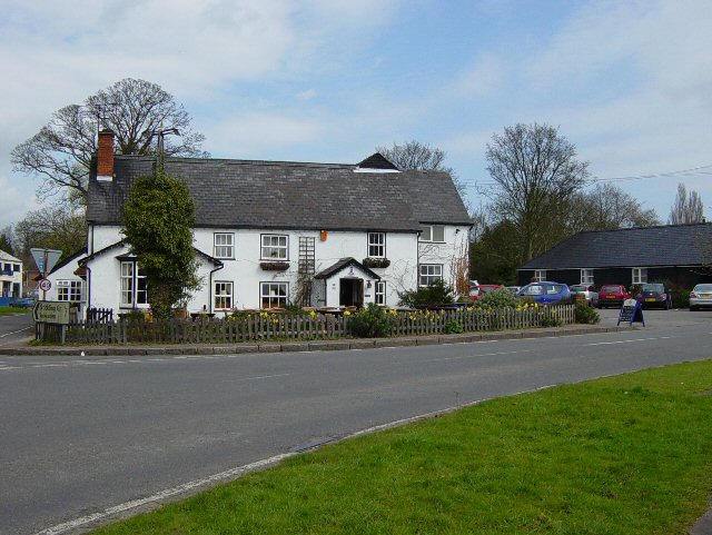
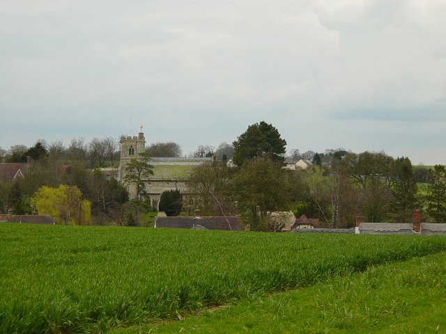
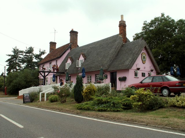
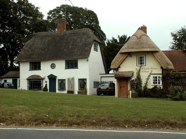
Home Grove Images

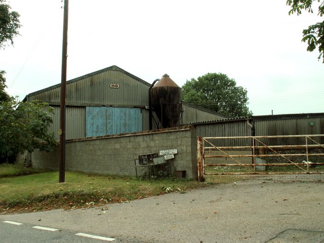
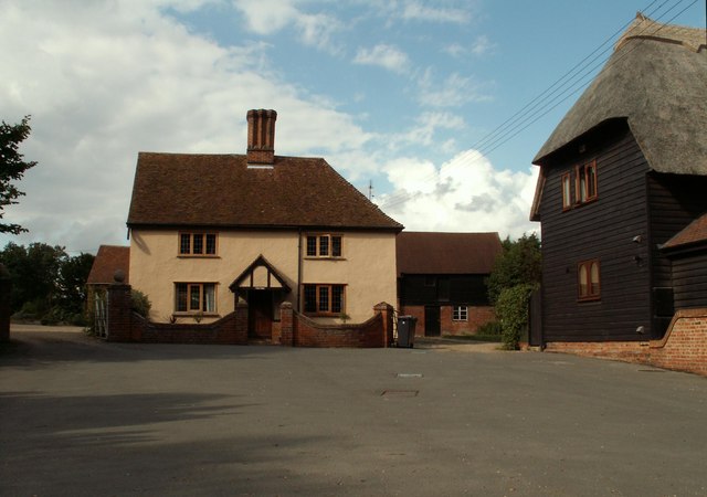
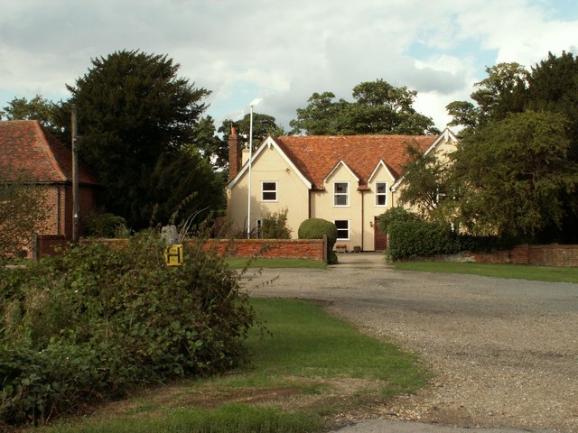
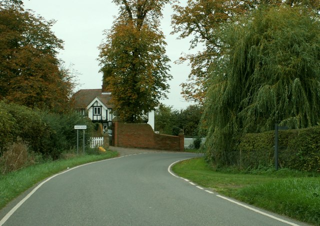
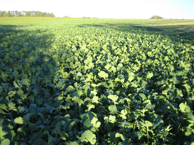
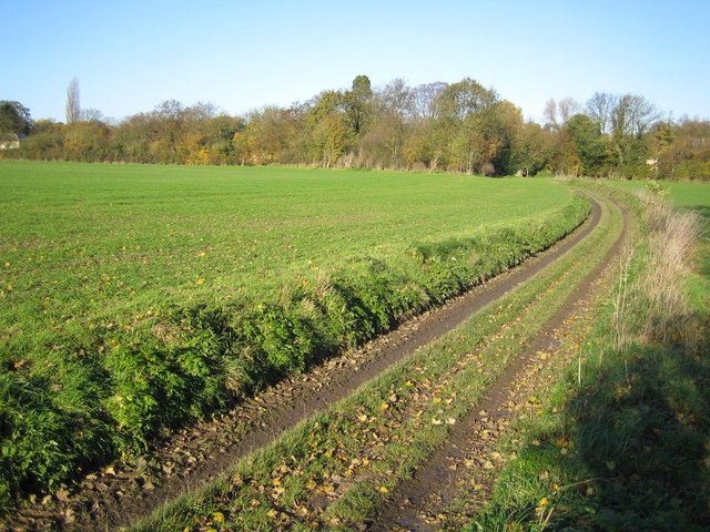
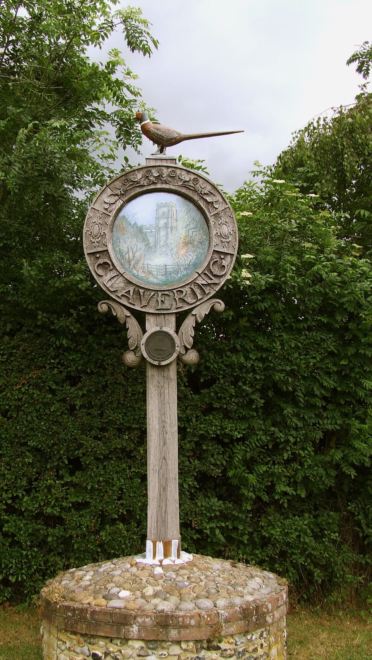
Images are sourced within 2km of 51.982574/0.15949774 or Grid Reference TL4833. Thanks to Geograph Open Source API. All images are credited.

Arkesden church
Arkesden church
Ford near Arkesden On the road between Arkesden and Duddenhoe End, only occasionally wet.
Ford near Arkesden
On the road between Arkesden and Duddenhoe End, only occasionally wet.
Thatched cottage in Wicken Bonhunt
St. Margaret's church, Wicken Bonhunt, Essex Apart from the 13th century chancel, this church was a complete rebuild in 1858-9 and designed by John Hanson Sperling.
St. Margaret's church, Wicken Bonhunt, Essex
Apart from the 13th century chancel, this church was a complete rebuild in 1858-9 and designed by John Hanson Sperling.
The Cricketers, Clavering This is the childhood home of chef Jamie Oliver and he learnt to cook here at the age of eight. The Cricketers is still owned by Jamie Olivers parents Trevor and Sally Oliver.
<span class="nowrap"><a title="http://www.design-digerati.com/the_cricketers/restaurant.asp" rel="nofollow ugc noopener" href="http://www.design-digerati.com/the_cricketers/restaurant.asp">Link</a><img style="margin-left:2px;" alt="External link" title="External link - shift click to open in new window" src="https://s1.geograph.org.uk/img/external.png" width="10" height="10"/></span>
The Cricketers, Clavering
This is the childhood home of chef Jamie Oliver and he learnt to cook here at the age of eight. The Cricketers is still owned by Jamie Olivers parents Trevor and Sally Oliver. LinkExternal link
Arable Land and pylons, Hill Green Looking towards Hill Green from Clavering triangulation pillar.
Arable Land and pylons, Hill Green
Looking towards Hill Green from Clavering triangulation pillar.
Arkesden Church Looking towards Arkesden.
Arkesden Church
Looking towards Arkesden.
'Coach & Horses' inn, Wicken Bonhunt, Essex The carved wooden sign that stands out from the inn, as seen in the photo, used to be right across the width of the road some years ago.
'Coach & Horses' inn, Wicken Bonhunt, Essex
The carved wooden sign that stands out from the inn, as seen in the photo, used to be right across the width of the road some years ago.
Cottages at Arkesden, Essex Arkesden is a very pretty village and has many lovely thatched cottages such as these two that stand by the small green, immediately south of the church.
Cottages at Arkesden, Essex
Arkesden is a very pretty village and has many lovely thatched cottages such as these two that stand by the small green, immediately south of the church.
'The Axe & Compasses' inn, Arkesden, Essex
Hobs Aerie farm buildings, Arkesden, Essex
Clavering Court, Stickling Green, Clavering, Essex
Clavering Place Farm, Stickling Green, Clavering, Essex
Rickling Road This is the view as you leave Wicken Bonhunt.
Rickling Road
This is the view as you leave Wicken Bonhunt.
The lodge at Wood Hall, near Arkesden, Essex The road is Clatterbury Lane.
The lodge at Wood Hall, near Arkesden, Essex
The road is Clatterbury Lane.
Stickling Green ..and these are the greens that are grown there, wall to wall brassicas.
Stickling Green
..and these are the greens that are grown there, wall to wall brassicas.
Clavering Triangulation Pillar In "celebration" of the fact that in November 2006 the Ordnance Survey have finally decided to make available all their co-ordinate and height data for triangulation points and bench marks free of charge on line, here is an image of a totally non-descript pillar skulking away under a hedge. Looking at its rural isolation and the dense growth of the hedge I wonder when it was last used for its true purpose!

As a link to the OS site the original archive OSGB36 National Grid co-ordinates and the height of the flush bracket on the pillar above Ordnance Survey Datum Newlyn can be found by typing the grid square into the relevant page selected from here  <span class="nowrap"><a title="http://benchmarks.ordnancesurvey.co.uk/pls/htmldb/f?p=111" rel="nofollow ugc noopener" href="http://benchmarks.ordnancesurvey.co.uk/pls/htmldb/f?p=111">Link</a><img style="margin-left:2px;" alt="External link" title="External link - shift click to open in new window" src="https://s1.geograph.org.uk/img/external.png" width="10" height="10"/></span>
Clavering Triangulation Pillar
In "celebration" of the fact that in November 2006 the Ordnance Survey have finally decided to make available all their co-ordinate and height data for triangulation points and bench marks free of charge on line, here is an image of a totally non-descript pillar skulking away under a hedge. Looking at its rural isolation and the dense growth of the hedge I wonder when it was last used for its true purpose! As a link to the OS site the original archive OSGB36 National Grid co-ordinates and the height of the flush bracket on the pillar above Ordnance Survey Datum Newlyn can be found by typing the grid square into the relevant page selected from here LinkExternal link
Stickling Green: Colehill Lane Colehill Lane, which runs between Clavering and Stickling Green, is a Public Byway or BOAT (Byway Open to All Traffic).
Stickling Green: Colehill Lane
Colehill Lane, which runs between Clavering and Stickling Green, is a Public Byway or BOAT (Byway Open to All Traffic).
Show me another place!

Home Grove is located at Grid Ref: TL4833 (Lat: 51.982574, Lng: 0.15949774)

Administrative County: Essex

District: Uttlesford

Police Authority: Essex

What 3 Words

///passenger.sleepless.gossip. Near Saffron Walden, Essex

Related Wikis

Nearby Amenities

Located within 500m of 51.982574,0.15949774
Bus Stop
Wood Hall
Bus: yes
Naptan AtcoCode: 150018003003
Naptan Bearing: S
Naptan BusStopType: CUS
Naptan CommonName: Clatterbury Lane
Naptan Crossing: Main Street
Naptan Indicator: S-bound
Naptan Landmark: Clatterbury Lane
Naptan NaptanCode: esxdatja
Naptan Street: Clatterbury Lane
Naptan Verified: no
Public Transport: platform
Source: naptan_import
Lat/Long: 51.9834595/0.1583596
Bus Stop
Wood Hall
Bus: yes
Naptan AtcoCode: 1500180030Y3
Naptan Bearing: N
Naptan BusStopType: CUS
Naptan CommonName: Clatterbury Lane
Naptan Crossing: Main Street
Naptan Indicator: N-bound
Naptan Landmark: Clatterbury Lane
Naptan NaptanCode: esxgtjga
Naptan Street: Clatterbury Lane
Naptan Verified: no
Public Transport: platform
Source: naptan_import
Lat/Long: 51.9834624/0.1582007
Wood Hall
FIXME: Name taken from service road
Lat/Long: 51.9820829/0.1528396
Power: pole
Lat/Long: 51.9824751/0.1557632
Power: pole
Lat/Long: 51.9822966/0.156381
Power: pole
Lat/Long: 51.9821314/0.1569627
Power: pole
Lat/Long: 51.9819582/0.1575612
Addr Housename: Woodmans Cottage
Lat/Long: 51.9819047/0.1525775
Addr Housename: Chaff Cottage
Lat/Long: 51.9819807/0.1526043
Information: guidepost
Tourism: information
Lat/Long: 51.9852013/0.1624866
The data included in this document is from www.openstreetmap.org. The data is made available under ODbL.

Have you been to Home Grove?

Leave your review of Home Grove below (or comments, questions and feedback).